Install
Post, TX 79356 Weather
Current conditions
Observed at Lubbock, Lubbock International Airport · 1 hr ago
Forecast
10-day-
Today
Sunny, with a high near 75. South wind around 10 mph.
-
Tonight
Mostly clear, with a low around 57. South wind 5 to 10 mph.
-
Wednesday
Sunny, with a high near 78. South southwest wind 5 to 10 mph.
National Weather Service forecast updated 3 hrs ago.
Hourly
Hourly forecast- Now71°
- 3 PM73°
- 4 PM73°
- 5 PM74°
- 6 PM73°
- 7 PM71°
- 8 PM69°
- 9 PM66°
- 10 PM64°
- 11 PM63°
- Wed12 AM62°
- 1 AM61°
- 2 AM60°
- 3 AM60°
- 4 AM59°
- 5 AM58°
- 6 AM58°
- 7 AM57°
- 8 AM57°
- 9 AM59°
- 10 AM63°
- 11 AM66°
- 12 PM69°
- 1 PM73°
10-day forecast
Details- TodayOct 20Sunny57°75°
- WedOct 21Sunny58°78°
- ThuOct 22Mostly Sunny59°79°
- FriOct 23Mostly Sunny60°77°
- SatOct 24Chance Rain Showers39%61°73°
- SunOct 25Chance Rain Showers52%58°68°
- MonOct 26Chance Rain Showers34%56°68°
- TueOct 27Heavy rain3.09 in52°61°
- WedOct 28Light rain0.05 in50°61°
- ThuOct 29Cloudy48°67°
Days after the National Weather Service's seven are MET Norway's outlook, a computer model with no forecaster's review.
Radar
Full mapWeather news near Post
More weather news-
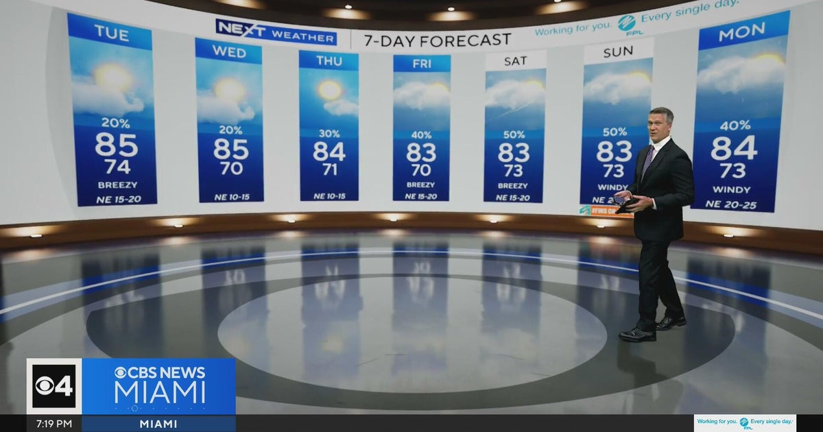 Temperatures lower to the early 80s and late 70s throughout South Florida
CBS News Miami is a local news organization that is part of CBS News and Stations. Also referred to as WFOR-TV and channel 4, CBS News Miami offers local breaking news, weather coverage and investigative reporting…
-
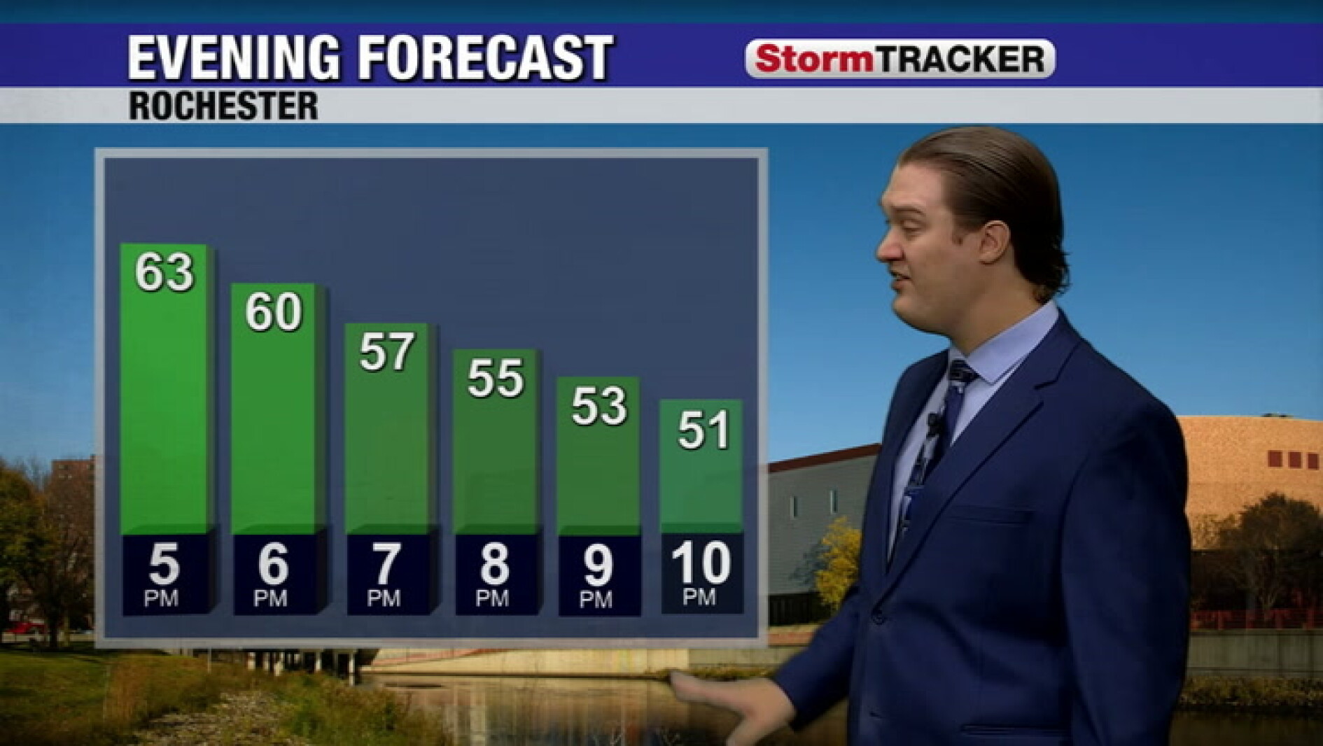
-
 Producers See First Hard Frost Of The Season
Wisconsin had 4.7 days suitable for fieldwork statewide for the week ending October 18, 2026, according to the USDA’s National Agricultural Statistics Service. Statewide rains kept some farmers out of their fields for a…
-
 Rain, Cooler Temperatures Return To Santa Clarita
Posted by: Louie Diaz in Santa Clarita Latest News, Weather October 19, 2026 - 2:17 pm 0 57 Views Conditions are expected to start cooling off, with rain arriving in the Santa Clarita Valley Wednesday evening into…
-
 Cobb climate summary & weather forecast for Monday, October 19, 2026
Tonight it is expected to be clear, with an overnight low of around 41 degrees. Sunny, with a high near 70. Light and variable wind becoming east 5 to 10 mph in the morning. Clear, with a low around 41. Calm wind…
-
 Rain Returning To Riverside County This Week: National Weather Service
RIVERSIDE COUNTY, CA — Thunderstorms are possible across the Inland Empire beginning Wednesday night and continuing through Thursday, when a cold front will sweep the region, potentially generating an inch or more of…
-
 LatAm Expat & Nomad Daily Guide for Tuesday, October 20, 2026
LatAm Expat & Nomad Daily Guide — Tuesday, October 20, 2026 As of 12:30 a.m. US Eastern Time (ET) · 1:30 a.m. Brasília, Tuesday 20 October 2026 · storm bulletin to Monday night, rates to the latest published fixing…
-
 T-Storms Forecasted Weds and Thurs Throughout IE
Thunderstorms are possible across the Inland Empire beginning Wednesday night and continuing through Thursday, when a cold front will sweep the region, potentially generating an inch or more of precipitation, according…
- San Diego Weather Forecast: Sunny Monday, Stormy Midweek
A Beach Hazards Statement remains in effect for San Diego County coastal areas through Tuesday morning. The National Weather Service says surf will run 3 to 6 feet, with local sets reaching 7 feet, especially along…
-
 India Weather Update: IMD Predicts Heavy Rainfall Across Tamil Nadu, Kerala, Andhra Pradesh and Several Other States in the Coming Days; Check Forecast & Latest Update
The changing weather pattern is associated with a low-pressure area over the southwest Arabian Sea, which the IMD expected could intensify into a depression within 24 hours. The post India Weather Update: IMD Predicts…
Air quality
Air quality is satisfactory, and air pollution poses little or no risk.
Forecast
- TueGood
- WedModerate
- ThuGood
Lubbock, TX reporting area · 1 hr ago. Data from AirNow (EPA and its state, local and tribal partners); preliminary and subject to change.
Sun & moon
Almanac
MonthlyPost, records since 1962. Normals 1991–2020. Data from NOAA's Regional Climate Centers (ACIS).
Nearby
Forecasters' discussion
From the National Weather Service office in LUB, issued 8 hrs ago
Key Messages
Updated at 610 AM CDT Tue Oct 20 2026
- Isolated showers and storms may linger through Tuesday afternoon.
- Dry conditions then return through mid-week with temperatures back to or just above seasonal normals.
- Cooler and wetter conditions are expected to develop by late week through the weekend.
Short Term
(Tonight through Tuesday) Issued at 1029 PM CDT Mon Oct 19 2026
Water vapor imagery late this evening analyzes a slow moving shortwave trough across the Desert Southwest with perturbations within the southwest flow translating across the region. These weak disturbances tracking through have been the primer for lingering elevated showers across the region throughout the day today. As this trough continues to slowly translate northeastward over the next 24 hours we can expect a similar result through the overnight period into Tuesday to unfold across the Caprock regions. Given limited moisture at the surface, with most moisture present around the H3 to H7 layer given subtropical moisture transport via southwest flow aloft, showers that develop will likely be in the form of "virga" with little precipitation amounts expected overnight through Tuesday. With that being said, a few WTM stations have been able to pick up a few hundredths of an inch over the last 24 hours and little is better than nothing! Given a similar synoptic pattern will be in place, expect a similar overnight period with lows in the upper 40s to mid 50s while afternoon temperatures Tuesday climb into the upper 60s to mid 70s. As for winds, expect relatively southerly winds, varying out of the southwest to southeast as a lee surface low digs into portions of eastern New Mexico which will attempt to shift winds more southeasterly by the late afternoon. Winds across northern counties may become slightly breezy around 10 to 20 mph as the pressure gradient increases. Tuesday night will feature slightly warmer lows, in part to an amplifying upper level ridge as a surface high centers over the Rio Grande Valley, along with the continuation of southerly surface flow and partly cloudy skies. Expect lows in the mid 50s to low 60s.
Long Term
(Wednesday through next Monday) Issued at 1029 PM CDT Mon Oct 19 2026
The upper level ridge and associated area of high pressure centered near the TX/NM border will amplify through mid-week as an omega blocking pattern becomes established. While a closed low digs southward from the PacNW towards the SoCal region. Increasing heights and thickness values from southwesterly flow aloft and lee troughing will continue to support a gradual warming trend. Highs both Wednesday and Thursday are expected to be the warmest of the week, reaching back to near or slightly above seasonal normals. Dry conditions will also persist through mid-week as the upper ridge remains in place and provides subsidence, limiting forcing for ascent and keeping precipitation low.
Heading into the weekend, the pattern becomes more active as the upper trough begins to eject northeastward towards the High Plains. Both the deterministic GFS and ECMWF are now in agreement compared to what we saw 24 hours ago, in regards of a secondary low near the base of the parent trough. Though differences persist in regards to the timing and evolution of this secondary low as it tracks eastward. Despite this uncertainty from global models, ensemble guidance continues to hint at the potential for beneficial rainfall across the FA, with ensemble PWATs well above the 90th percentile for late October. Decent moisture return is expected to develop ahead of this system, aided by southwest flow aloft and an upslope component to the surface winds helping to draw gulf moisture northward into the region. Given the remaining spread in the overall evolution of the trough, will continue to monitor trends in the coming days before becoming more certain in timing and evolution. For now, will maintain NBM mentionable PoPs area-wide. With this, not only may we see our next best chance for rainfall, but can expect the return of fall-like temperatures.
Aviation
(12Z TAFS) Issued at 610 AM CDT Tue Oct 20 2026
Very light rain showers will affect the KCDS terminal over the next few hours but no flight restrictions are expected. An outside chance of low CIGS and visbys is possible at KLBB and KPVW early Wednesday morning.
Forecasts, observations and alerts in the United States come from the National Weather Service (NOAA); radar from NOAA's Multi-Radar Multi-Sensor system; satellite imagery from NASA's Global Imagery Browse Services (GIBS) and NOAA's GOES satellites; the map from the U.S. Geological Survey's National Map; air quality from AirNow (EPA and its partners); hurricane information from the National Hurricane Center; climate normals and records from NOAA's Regional Climate Centers (ACIS). Forecasts outside the United States and the UV index: MET Norway (CC BY 4.0); observations outside the U.S.: airport reports via NOAA's Aviation Weather Center. Place names: GeoNames (CC BY 4.0). Data are copied on a schedule and may lag the sources; for warnings that affect your safety, follow your local National Weather Service office and emergency officials. Weather news is drawn from the 4Search index and reflects what the press published. Terms of use.