Install
Amarillo, TX 79106 Weather
Current conditions
Observed at Amarillo, Amarillo International Airport · 20 min ago
Forecast
10-day-
Tonight
Mostly cloudy, with a low around 57. South wind around 15 mph, with gusts as high as 25 mph.
-
Friday
Partly sunny, with a high near 76. South wind 10 to 20 mph, with gusts as high as 30 mph.
-
Friday Night
Mostly cloudy, with a low around 57. South wind around 15 mph, with gusts as high as 30 mph.
National Weather Service forecast updated 4 hrs ago.
Hourly
Hourly forecast- Now65°
- Fri12 AM64°
- 1 AM63°
- 2 AM62°
- 3 AM61°
- 4 AM60°
- 5 AM59°
- 6 AM58°
- 7 AM58°
- 8 AM57°
- 9 AM58°
- 10 AM62°
- 11 AM65°
- 12 PM68°
- 1 PM70°
- 2 PM73°
- 3 PM74°
- 4 PM74°
- 5 PM75°
- 6 PM74°
- 7 PM73°
- 8 PM71°
- 9 PM68°
- 10 PM67°
10-day forecast
Details- TonightOct 22Mostly Cloudy57°
- FriOct 23Partly Sunny57°76°
- SatOct 24Mostly Cloudy48%56°71°
- SunOct 25Showers And Thunderstorms89%53°64°
- MonOct 26Showers And Thunderstorms79%50°64°
- TueOct 27Chance Rain Showers52%49°63°
- WedOct 28Mostly Sunny50°67°
- ThuOct 29Mostly Sunny13%66°
- FriOct 30Rain0.15 in53°63°
- SatOct 31Light rain0.04 in53°66°
Days after the National Weather Service's seven are MET Norway's outlook, a computer model with no forecaster's review.
Radar
Full mapWeather news near Amarillo
More weather news-
 Sunshine and summer-like temperatures continue for now
NewsChannel 10 Sunshine and summer-like temperatures continue for now WT wraps up Homecoming Week with parade, football showdown Saturday Amarillo man arrested, accused of multiple child sex related crimes Ruben on the…
-
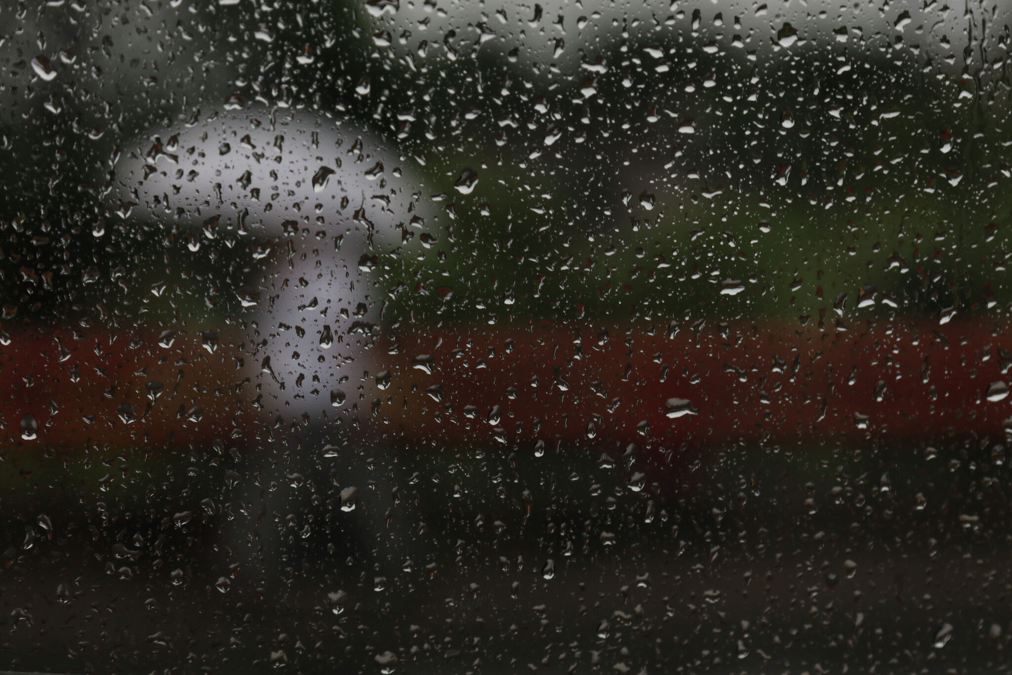 Storms, flooding possible in parts of Texas. Here's where
The National Weather Service Amarillo says a slight risk for excessive rainfall and flooding is possible on Friday and Saturday, October 23-24, 2026. If you feel like you need a break from all the ups and downs of Texas…
-
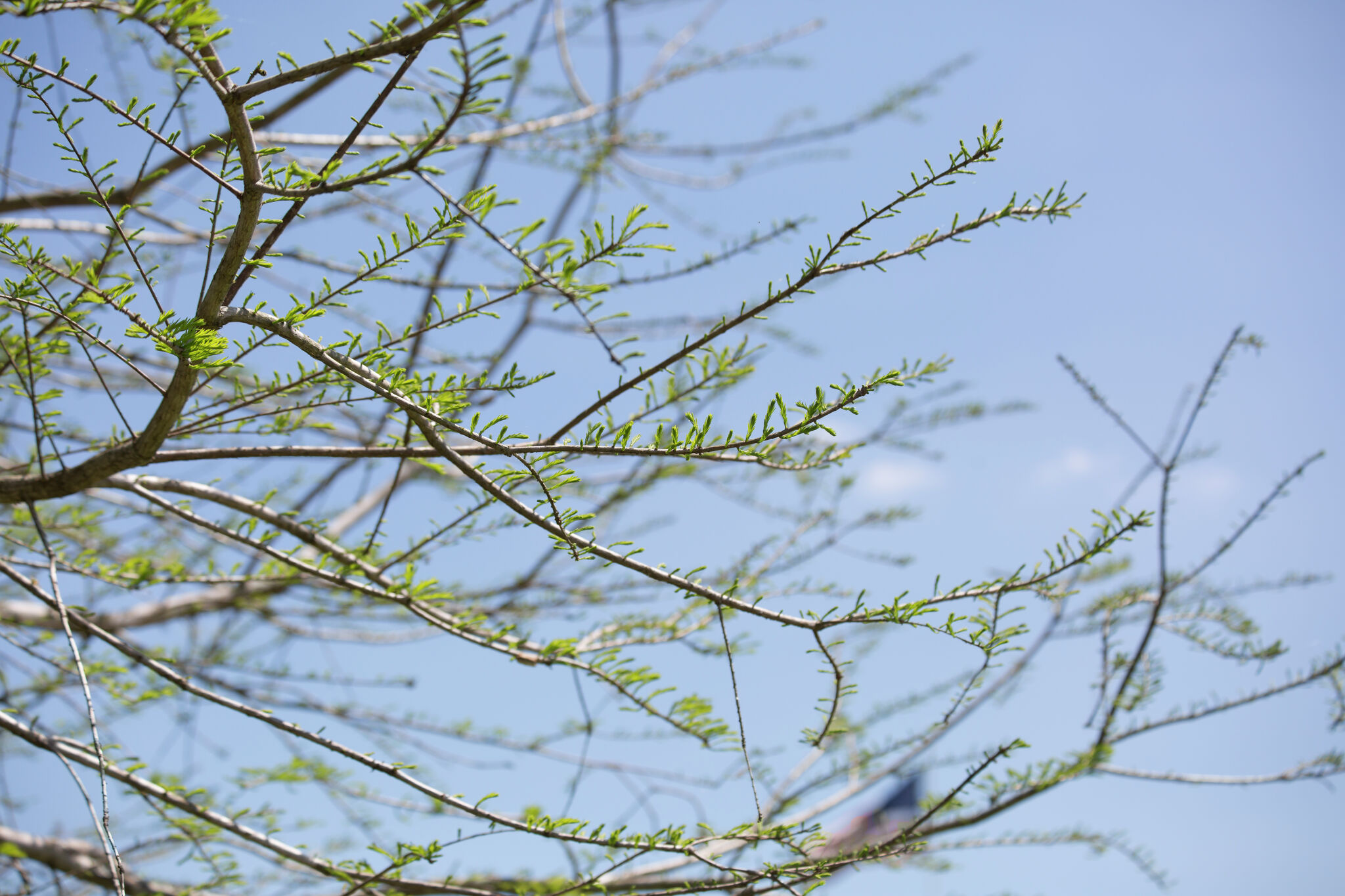 Texas braces for warming trend after shocking cold front
Will fall conditons end anytime soon in Texas? The National Weather Service says a warming trend is in store for the state. How long will cooler, fall-like temperatures hang on across Texas? Forecasters with the…
-
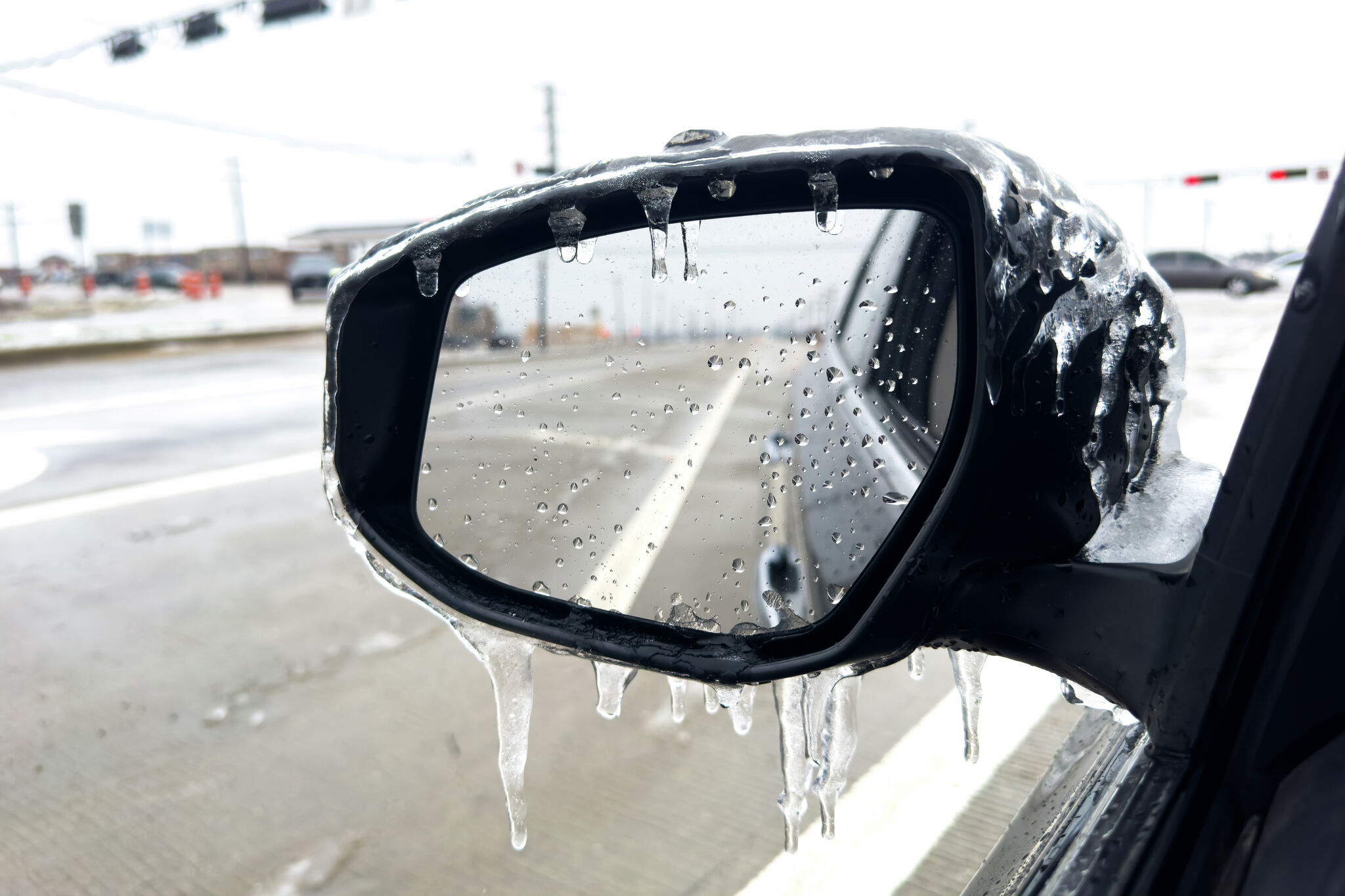 Freeze warning issued for parts of Texas. Here's the forecast.
Freeze warning issued for parts of the Texas Panhandle. A freeze warning has been issued for parts of the Texas Panhandle as a strong cold front sweeps through the state. The National Weather Service’s Amarillo office…
-
 First Freeze of the Season Tonight in the Texas Panhandle
The first freeze of the fall season hits the Texas Panhandle and South Plains tonight, with 28 in Dalhart. Crashy the Cold Front has arrived, bringing gusty north winds and Extreme fire danger to East Texas today. Texas…
-
 Massive cold front triggers Texas freeze watch-which counties are at risk?
A cold front is barreling toward Texas, and some counties are under a freeze watch, with temperatures expected to dip below freezing. The National Weather Service has issued a freeze watch for counties most likely to…
-
 The Ledger — Friday, October 16, 2026
The Ledger is Lubbock Lights’ daily digest of the news that matters to Lubbock and the South Plains — our reporting first, then short summaries of stories reported by other newsrooms, each linked to its source. How we…
-
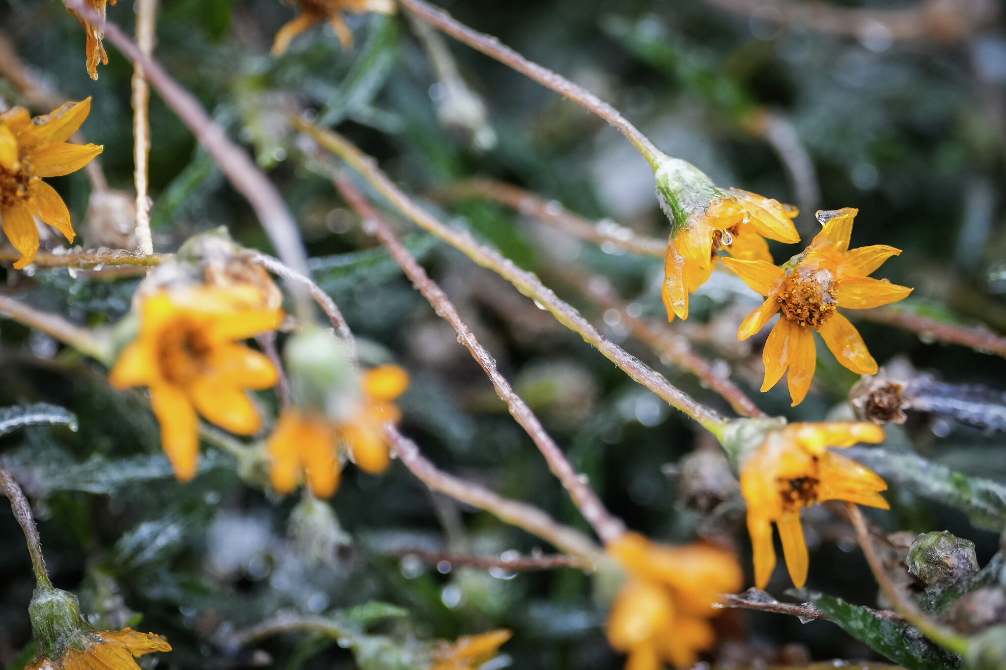 Freeze Watch issued for parts of Texas. Are you in its path?
Flowers are covered in ice as intense cold settles into the Austin area, Jan. 25, 2026. Parts of the state are under a Freeze Watch this weekend as a cold front sweeps through Texas. A cold front is barreling toward…
-
 Josephine in Atlantic drifts away, but Pacific moisture might spoil Halloween for Texas
Subtropical Storm Josephine in the North Atlantic is racing away from the United States, while moisture from a strengthening eastern Pacific storm could bring rain to Texas around Halloween next week. Josephine's center…
-
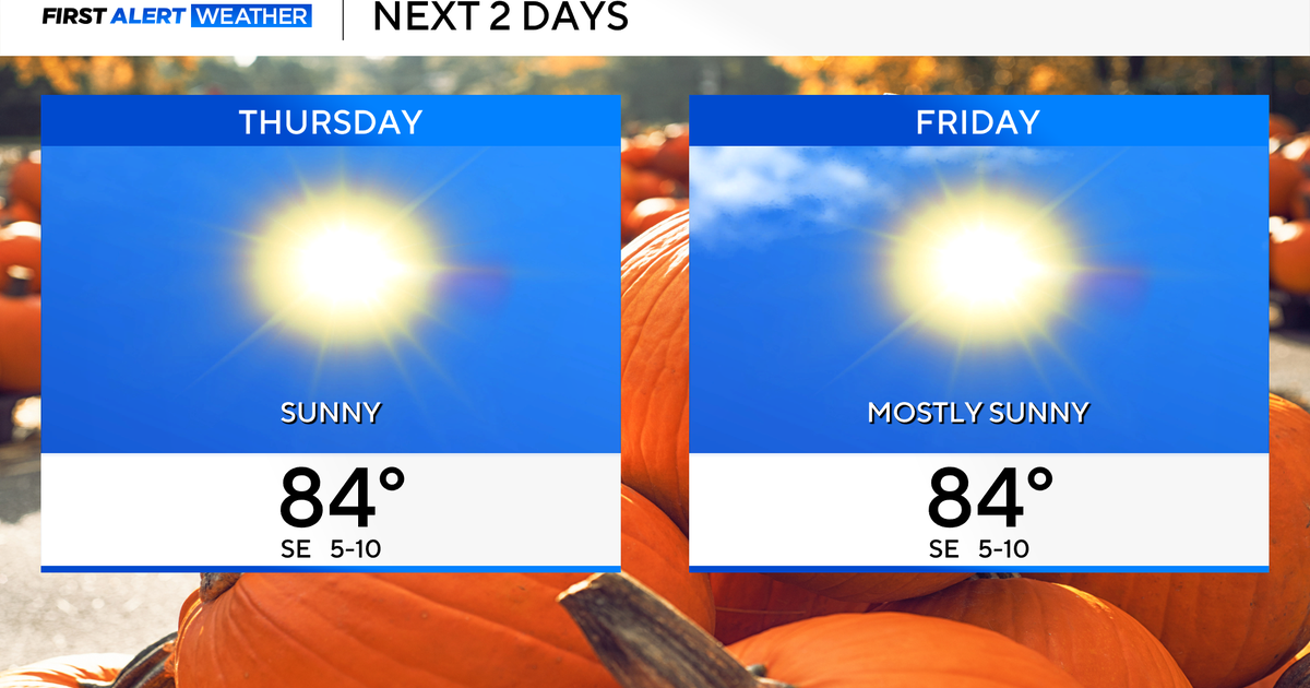 Temperatures to stay in 80s through weekend as clouds increase across North Texas
October 22, 2026 / 7:57 AM CDT / CBS Texas Temperatures are in the 50s and low 60s when you step outside to start your day. The forecast is almost identical to Wednesday, with sunshine and highs in the 80s in store for…
Air quality
Air quality is satisfactory, and air pollution poses little or no risk.
Forecast
- ThuGood
- FriGood
- SatGood
Amarillo, TX reporting area · 2 hrs ago. Data from AirNow (EPA and its state, local and tribal partners); preliminary and subject to change.
Sun & moon
Almanac
MonthlyAmarillo Area, records since 1892. Normals 1991–2020. Data from NOAA's Regional Climate Centers (ACIS).
Nearby
Forecasters' discussion
From the National Weather Service office in AMA, issued 4 hrs ago
Key Messages
Issued at 137 PM CDT Thu Oct 22 2026
- Cooler temperatures and potentially heavy moisture is expected this weekend. Monitoring for a potential flood threat as well. (At least a 15% chance for rainfall to exceed flash flood guidance within 25 miles of a point)
Short Term
(This evening through Friday night) Issued at 137 PM CDT Thu Oct 22 2026
Another mild warm day today with increasing cloud cover as a storm system off the CA coast starts to work it's way east. Overall, highs in the 70s to lower 80s will continue today, but we will have some increased cross barrier flow and that will help set up a lee surface low in SE Colorado. As a result some tightening surface gradients will lead to south winds 15 to 20 mph with gusts around 20 to 30 mph. As the ridge remains in place over the next 24 to 36 hours awaiting the closer approach of the next weather system, this tight gradient should stay in place that will keep winds up tonight and with normal lows in the mid to lower 40s, we expect them to be more in the mid to upper 50s. With Dalhart's record highest minimum temperatures around 56 degrees, the forecast of 54 is close to touching that record. So very mild overnight October temperatures. As far as the highs on Friday, we again expect temperatures in the 70s to lower 80s. It will still be a bit breezy and with more cloud cover may feel a bit cooler, but still a mild day. Friday night the chances of showers and maybe a storm pick up, but right along the state line in the northwest Panhandles.
Weber
Long Term
(Saturday through next Wednesday) Issued at 137 PM CDT Thu Oct 22 2026
With the moisture plume just to the west of the Panhandles as we head into Saturday, it will hold pretty steady along and just east of the state line providing a medium chance 30-50% of showers and maybe an isolated storm to the Adrian, Dalhart, Boise City line. East of that line the chances drop off pretty sharply so much that Amarillo is less than 10 percent. Now for areas that will see rain/storms, it could get several rounds and the possibility of storms to produce ample rain amount that could lead to some localized flooding conditions. Right now the confidence is very low for Saturday. As we head into Sunday that southerly flow starts to break down into a more southwesterly flow and moisture starts to move across the Panhandles so much that the central Panhandles will have a high chance >70 percent of showers/storms and there may be a little bit of a convective component Sunday afternoon to these rain showers that could enhance rain amounts. Overall, NBM model still holds about a medium to high chance of 1" of rain for the western and central Panhandles for Sunday. As we move into Monday and Tuesday the moisture will continue to track further east, and eventually more south, this is where the eastern Panhandles will have a better shot a rain chances. Although there is some question as to how much residual moisture will linger to the eastern Panhandles, the probabilities are fairly high (60-80%) for at least a quarter of an inch from Sunday night through Tuesday morning. Monday night into Tuesday will have the cold front move through the Panhandles and the precipitation chances will drop off. The front will be fairly mild as highs on Tuesday are still expected to be in the 60s across most of the area, so not too strong. Wednesday we'll return to more southwesterly flow and warmer air will be in place, with highs returning to the mid to upper 60s, maybe even low 70s in the warm spots.
Weber
Aviation
(00Z TAFS) Issued at 615 PM CDT Thu Oct 22 2026
VFR conditions are expected to prevail with breezy southerly winds around 15 kts. Gusts are expected to pick up during the latter part of the period to around 30 to 35 kts.
Forecasts, observations and alerts in the United States come from the National Weather Service (NOAA); radar from NOAA's Multi-Radar Multi-Sensor system; satellite imagery from NASA's Global Imagery Browse Services (GIBS) and NOAA's GOES satellites; the map from the U.S. Geological Survey's National Map; air quality from AirNow (EPA and its partners); hurricane information from the National Hurricane Center; climate normals and records from NOAA's Regional Climate Centers (ACIS). Forecasts outside the United States and the UV index: MET Norway (CC BY 4.0); observations outside the U.S.: airport reports via NOAA's Aviation Weather Center. Place names: GeoNames (CC BY 4.0). Data are copied on a schedule and may lag the sources; for warnings that affect your safety, follow your local National Weather Service office and emergency officials. Weather news is drawn from the 4Search index and reflects what the press published. Terms of use.