Install
Panhandle, TX 79068 Weather
Current conditions
Observed at Amarillo, Amarillo International Airport · 19 min ago
Forecast
10-day-
Today
Sunny, with a high near 81. West southwest wind 5 to 10 mph.
-
Tonight
Partly cloudy, with a low around 57. South southeast wind 0 to 10 mph.
-
Thursday
Mostly sunny, with a high near 78. South southwest wind 5 to 15 mph, with gusts as high as 25 mph.
National Weather Service forecast updated 58 min ago.
Hourly
Hourly forecast- Now56°
- 8 AM56°
- 9 AM58°
- 10 AM64°
- 11 AM68°
- 12 PM71°
- 1 PM74°
- 2 PM77°
- 3 PM79°
- 4 PM79°
- 5 PM80°
- 6 PM78°
- 7 PM75°
- 8 PM71°
- 9 PM67°
- 10 PM65°
- 11 PM64°
- Thu12 AM63°
- 1 AM62°
- 2 AM61°
- 3 AM61°
- 4 AM60°
- 5 AM59°
- 6 AM59°
10-day forecast
Details- TodayOct 21Sunny57°81°
- ThuOct 22Mostly Sunny56°78°
- FriOct 23Partly Sunny10%55°75°
- SatOct 24Chance Rain Showers52%52°68°
- SunOct 25Showers And Thunderstorms75%48°61°
- MonOct 26Chance Showers And Thunderstorms68%45°61°
- TueOct 27Slight Chance Rain Showers then Partly Sunny21%44°59°
- WedOct 28Mostly sunny57°78°
- ThuOct 29Partly cloudy46°64°
- FriOct 30Light rain0.02 in42°61°
Days after the National Weather Service's seven are MET Norway's outlook, a computer model with no forecaster's review.
Radar
Full mapWeather news near Panhandle
More weather news-
 Heavy snow for the Interior and Northwest, heavy rain for the Panhandle, and a wintry mix for Southcentral
Today's Alaska weather forecast from Alaska's Weather Source. ANCHORAGE, AK (Alaska’s News Source) - An intense storm in the Bering Sea with an associated front is moving in on Southwest Alaska with clouds beginning to…
-
 Texas braces for warming trend after shocking cold front
Will fall conditons end anytime soon in Texas? The National Weather Service says a warming trend is in store for the state. How long will cooler, fall-like temperatures hang on across Texas? Forecasters with the…
-
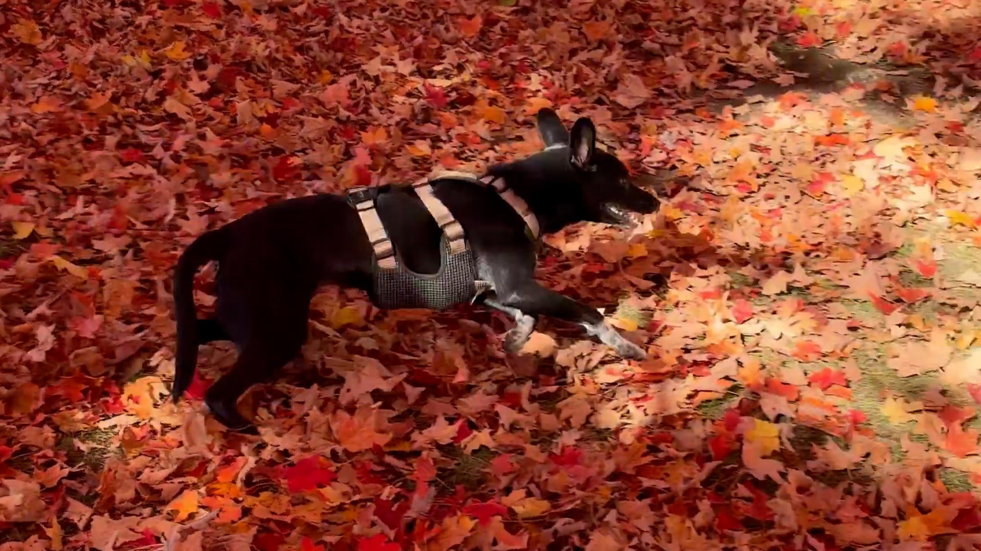 Dog gets the zoomies among peak New England foliage
Adorable dog gets the zoomies among colorful New England leaves The Weather Channel Adorable dog gets the zoomies among colorful New England leaves Adorable footage shows a dog bounding through piles of vibrant leaves…
-
 RFD-TV Weekly Crop Progress and Livestock Production Update — Monday, October 19, 2026
Producers are balancing harvest needs with winter wheat establishment, forage conditions, livestock water supplies and the opportunity to rebuild soil moisture heading into 2027. RFD-TV Weekly Crop Progress and…
-
 Numerous winter weather alerts as heavy snow moves through Southcentral and Interior Alaska
Winter weather alerts have been issued across Southcentral through midweek, with the greatest snowfall potential expected in the Northern Susitna Valley, Copper River Basin, Thompson Pass and the Anchorage and Eagle…
-
 FIRST ALERT| The sunny stretch continues
pleasant but breezy day is ahead, as the area is sandwiched between High and Low pressure. The counter and clockwise flow from each pressure system, is allowing for the breezy conditions to persist out of the northeast…
-
 What the Super El Niño Means for Texas This Winter
The Pacific is running hot, and the latest models take El Niño to record territory by December. Here is what that could mean for rain, cold and snow in Texas this winter. The Pacific is running hot right now, and it…
-
 Hurricane center continues to track system off US East Coast
The National Hurricane Center continued Monday to keep an eye on a system off the U.S. East Coast with the potential to develop into a more dangerous storm. As of the NHC’s 8 a.m. tropical outlook, a nontropical area of…
-
 Fall weather continues into the new week
It’s been another gorgeous but windy fall day across the Panhandle. Temperatures are in the 60s and 70s thanks to abundant sunshine and minimal clouds. Temperatures have tumbled into the 50s and 60s with winds still a…
-
 Near average temperatures at the start of this week, warming up by the weekend | 10/18 PM
Near average temperatures at the start of this week, warming up by the weekend LAWTON, Okla. (KSWO) - Temperatures will drop into the mid 40’s to the upper 50’s tonight remaining near the average this time of year…
Air quality
Air quality is satisfactory, and air pollution poses little or no risk.
Forecast
- WedModerate
- ThuGood
- FriGood
Amarillo, TX reporting area · 1 hr ago. Data from AirNow (EPA and its state, local and tribal partners); preliminary and subject to change.
Sun & moon
Almanac
MonthlyAmarillo Area, records since 1892. Normals 1991–2020. Data from NOAA's Regional Climate Centers (ACIS).
Nearby
Forecasters' discussion
From the National Weather Service office in AMA, issued 59 min ago
Key Messages
Issued at 1153 PM CDT Tue Oct 20 2026
- Above average temperatures expected today and tomorrow.
- Watching for a potential system to bring rain, potentially some heavy rain, to the combined Panhandles this coming weekend. Along with cooler temperatures.
Short Term
(Tonight through Thursday night) Issued at 1153 PM CDT Tue Oct 20 2026
Upper level ridging is expected to build aloft today and tomorrow. Leading to afternoon highs well above average in the upper 70s to lower 80s. For today, surface winds are expected to drop off and become relatively light, less than 10 mph, under a weak surface low. This feature may cause some variability in the wind directions as well. Tomorrow, however, the surface pressure gradient will reorganize to give breezy and gusty southerly winds as the next upper level system sets up over the west coast.
Long Term
(Friday through next Tuesday) Issued at 1153 PM CDT Tue Oct 20 2026
Going into Friday, the combined Panhandles are progged to fall under southwest flow aloft with the next upper level trough deepening over the Intermountain West down into the southern tips of CA/NV. The southwest flow is expected to increase the cloud cover limiting daytime highs a few degrees into the mid to upper 70s for Fri. PoPs are expected to start to increase from west to east overnight Fri night as plenty of Pacific moisture gets carried up in the southwest flow. PWATs are expected to begin increasing Fri night to around an inch on Sat, maybe even slightly higher. Models have the system slowing down, and mainly confining PoPs to the central to western combined Panhandles Fri night into Sat, eventually spreading likely PoPs to include the eastern Panhandles Sat night into Sun night. There is a bit of uncertainty to the timing of when the system will enter and exit the combined Panhandles. Which will impact the overall potential for rain amounts. Guidance is pointing to a potential excessive rainfall event at this time. In fact, WPC currently has the central to western parts of the combined Panhandles under a 15% chance for rainfall to exceed flash flood guidance Sat into Sat night. With the eastern Panhandles under a 5% probability within 25 mile of a given point. At this time wide spread severe storms are not anticipated at this time.
Temperatures will be on a downward trend this weekend with widespread lower 60s for an afternoon high Sun into Mon. These temperatures are looking to be kept cool due to the rain and cloud cover, more so than any actual CAA behind a front. Winds are looking to shift behind a front on Monday, however, temperatures are not looking to be much different than Sun ahead of the front.
Aviation
(12Z TAFS) Issued at 643 AM CDT Wed Oct 21 2026
VFR conditions expected today around the area. Some high clouds will be present but shoudl be a quiet day. Over the northern panhandle areas we will see some wind shifts (even though the speeds will remain relatively light) due to some small scale boundaries.
Forecasts, observations and alerts in the United States come from the National Weather Service (NOAA); radar from NOAA's Multi-Radar Multi-Sensor system; satellite imagery from NASA's Global Imagery Browse Services (GIBS) and NOAA's GOES satellites; the map from the U.S. Geological Survey's National Map; air quality from AirNow (EPA and its partners); hurricane information from the National Hurricane Center; climate normals and records from NOAA's Regional Climate Centers (ACIS). Forecasts outside the United States and the UV index: MET Norway (CC BY 4.0); observations outside the U.S.: airport reports via NOAA's Aviation Weather Center. Place names: GeoNames (CC BY 4.0). Data are copied on a schedule and may lag the sources; for warnings that affect your safety, follow your local National Weather Service office and emergency officials. Weather news is drawn from the 4Search index and reflects what the press published. Terms of use.