Install
Horseshoe Bay, TX 78657 Weather
Current conditions
Forecast for this hour (no station report in the last two hours)
Forecast
10-day-
Saturday
Mostly sunny, with a high near 84. Southeast wind 0 to 10 mph, with gusts as high as 25 mph.
-
Saturday Night
Partly cloudy, with a low around 63. Southeast wind 5 to 10 mph, with gusts as high as 25 mph.
-
Sunday
Mostly cloudy, with a high near 80. Southeast wind 0 to 10 mph, with gusts as high as 20 mph.
National Weather Service forecast updated 18 hrs ago.
Hourly
Hourly forecast- Now76°
- 1 PM79°
- 2 PM81°
- 3 PM82°
- 4 PM83°
- 5 PM84°
- 6 PM82°
- 7 PM80°
- 8 PM78°
- 9 PM74°
- 10 PM73°
- 11 PM72°
- Sun12 AM70°
- 1 AM69°
- 2 AM68°
- 3 AM66°
- 4 AM64°
- 5 AM64°
- 6 AM63°
- 7 AM63°
- 8 AM64°
- 9 AM65°
- 10 AM68°
- 11 AM71°
10-day forecast
Details- TonightOct 23Mostly Clear60°
- TodayOct 24Mostly Sunny63°84°
- SunOct 25Mostly Cloudy58°80°
- MonOct 26Partly Sunny60°79°
- TueOct 27Slight Chance Rain Showers16%60°77°
- WedOct 28Mostly Sunny61°80°
- ThuOct 29Partly Sunny then Chance Showers And Thunderstorms32%62°81°
- FriOct 30Chance Rain Showers50%77°
- SatOct 31Cloudy61°80°
- SunNov 1Cloudy70°86°
Days after the National Weather Service's seven are MET Norway's outlook, a computer model with no forecaster's review.
Radar
Full mapWeather news in Texas
More weather news-
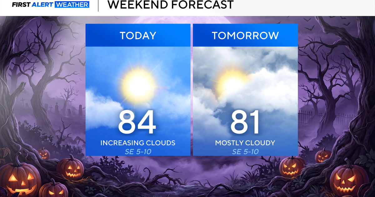 North Texas seeing rain chances return next week
October 24, 2026 / 7:21 AM CDT / CBS Texas North Texas was off to a seasonable start on Saturday morning, with temperatures mainly in the 50s. Temperatures will remain above average this weekend, with highs in the lower…
-
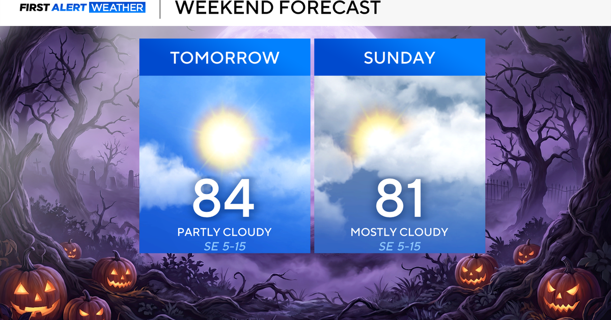 Clouds build in over the weekend as temperatures stay above average in the 80s across North Texas
October 23, 2026 / 8:00 AM CDT / CBS Texas North Texans are waking up to temperatures mainly in the 50s and 60s on Friday morning, with some clouds across portions of the area. In the afternoon and into the weekend…
- Video: What the Super El Niño Means for Texas This Winter
The Gilmer Mirror
-
 Josephine in Atlantic drifts away, but Pacific moisture might spoil Halloween for Texas
Subtropical Storm Josephine in the North Atlantic is racing away from the United States, while moisture from a strengthening eastern Pacific storm could bring rain to Texas around Halloween next week. Josephine's center…
-
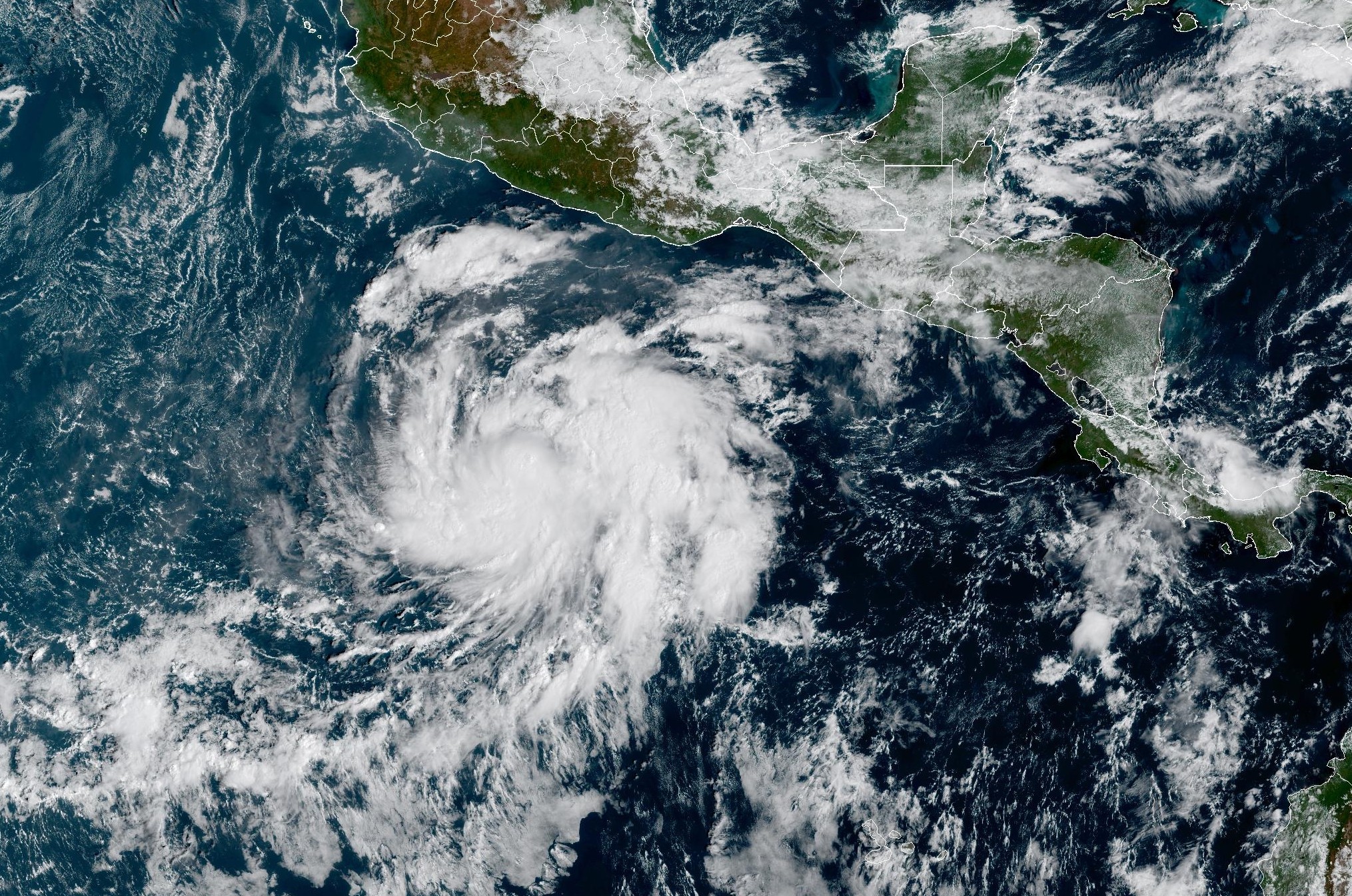 Tropical Storm Vance forms near Mexico. Will it affect Texas?
From there, some weather models show that moisture from Vance could move into parts of South Texas, bringing enhanced rain chances to places like the Rio Grande Valley, San Antonio, and Corpus Christi. Exactly when…
-
 Hometown Sizzle: Texas Chili For Chilly Weather
WDBJ7 Hometown Sizzle: Texas Chili For Chilly Weather STYLE & SAVINGS: Goodwill Offers Tips For Thrifting Halloween Costumes VDOT: Overhead Flashers In Franklin County Live on Rte. 220
-
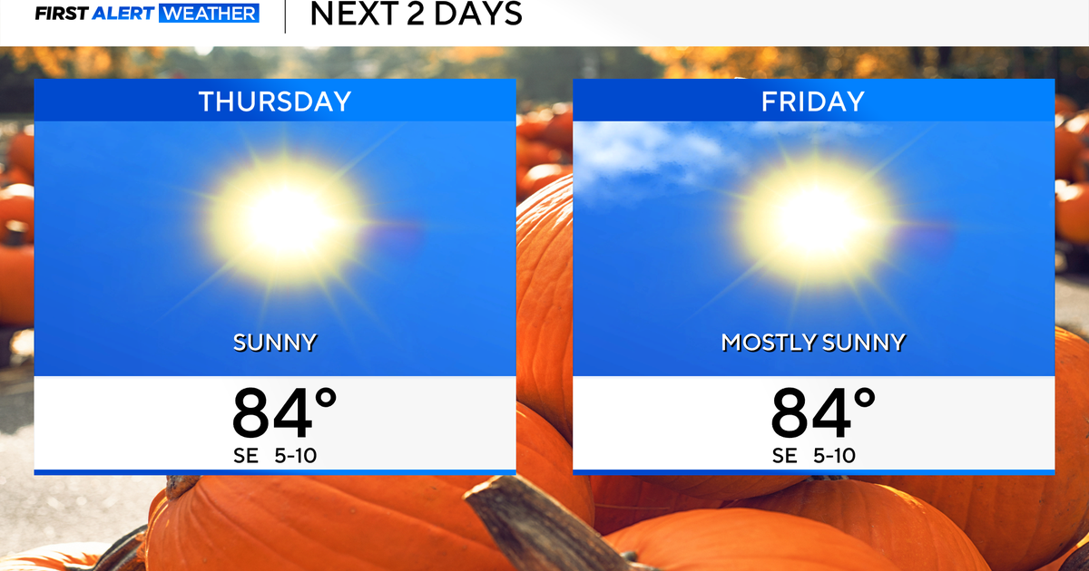 Temperatures to stay in 80s through weekend as clouds increase across North Texas
October 22, 2026 / 7:57 AM CDT / CBS Texas Temperatures are in the 50s and low 60s when you step outside to start your day. The forecast is almost identical to Wednesday, with sunshine and highs in the 80s in store for…
-
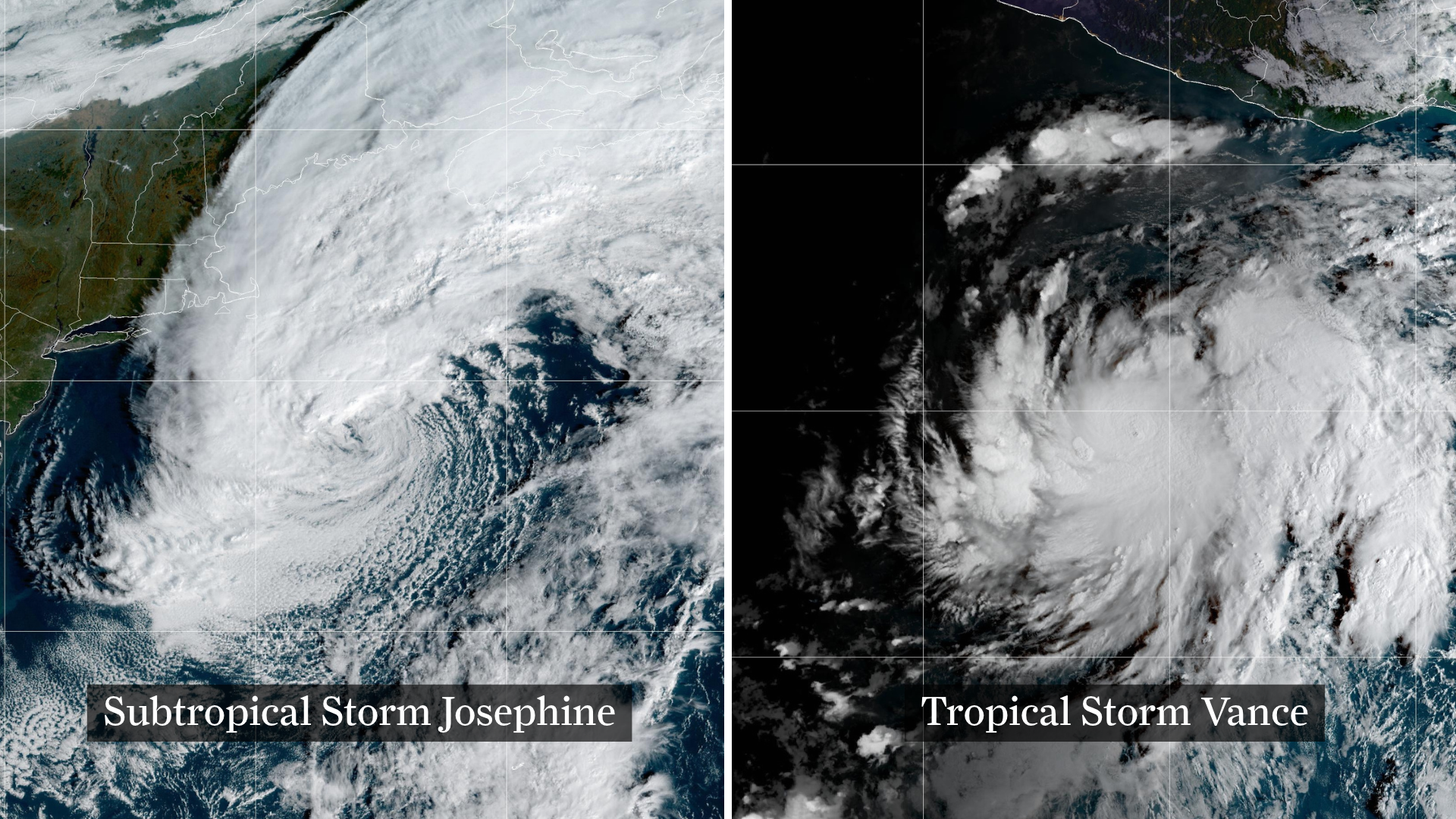 Josephine drifts away, Pacific moisture might spoil Halloween in Texas
From left, weather satellite images show Subtropical Storm Josephine in the North Atlantic and Tropical Storm Vance in the eastern Pacific. Josephine will continue strengthening off the coast of New England and the…
-
 The Biggest Weather Myths About Texas We All Believe are True
(Tyler, Texas) - I have always been fascinated by our weather in East Texas. Even when we think we've got it down what it's going to do outside, it changes on us five minutes later. It makes it hard for us to figure out…
-
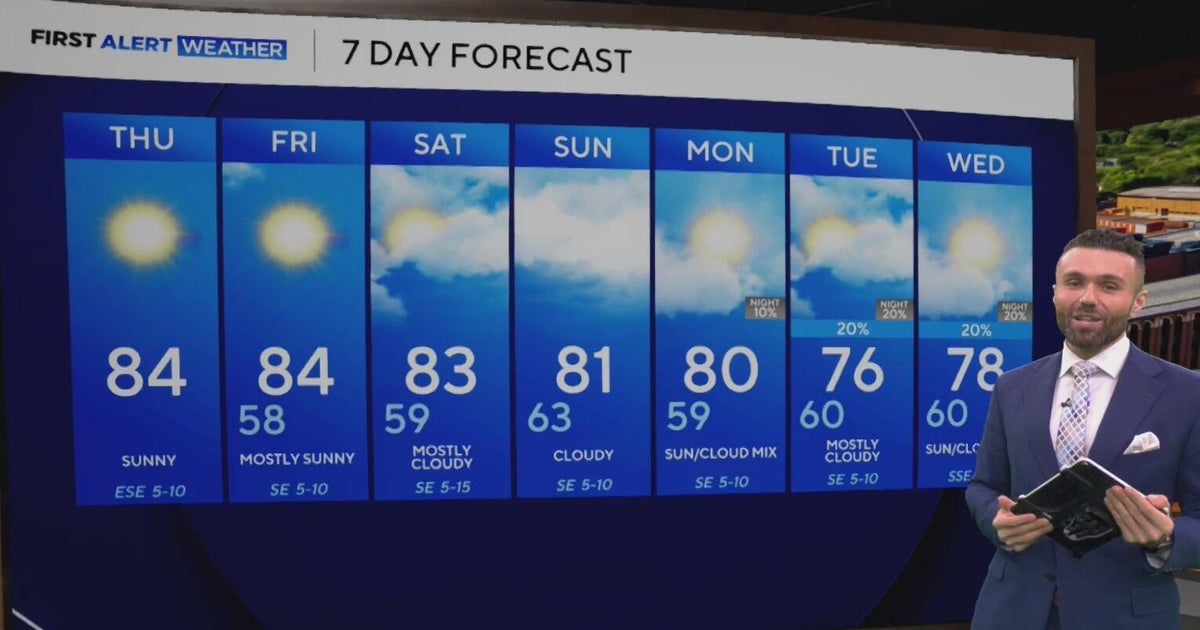 Cloudy, warm weekend on deck as temperatures stay in the low 80s in North Texas
CBS News Baltimore 8am CBS News Boston 8am CBS News Chicago 7am CBS News Colorado This Morning 6am CBS News Los Angeles Mornings 5am CBS News Miami 8am CBS News New York 8am CBS News Texas 7am
Air quality
Acceptable. Unusually sensitive people should consider limiting prolonged outdoor exertion.
Forecast
- SatModerate
- SunModerate
- MonModerate
Austin, TX reporting area · 1 hr ago. Data from AirNow (EPA and its state, local and tribal partners); preliminary and subject to change.
Sun & moon
Almanac
MonthlyBurnet, records since 1896. Normals 1991–2020. Data from NOAA's Regional Climate Centers (ACIS).
Nearby
- Cedar Park 53 km
- Leander 50 km
- Lakeway 43 km
- Fredericksburg 56 km
- Lago Vista 38 km
- Bee Cave 49 km
- Marble Falls 10 km
- Burnet 28 km
- Kingsland 14 km
- Granite Shoals 5 km
- Lost Creek 58 km
- Llano 37 km
Forecasters' discussion
From the National Weather Service office in EWX, issued 17 hrs ago
Key Messages
Updated at 650 PM CDT Fri Oct 23 2026
- Mild to warm conditions prevail this weekend into next week.
- Low (15-30%) rain chances late Monday through Tuesday.
- Details still to be ironed out but increasing rain chances entering Halloween weekend.
Short Term
(Tonight through Saturday night) Issued at 1231 PM CDT Fri Oct 23 2026
Mid-level ridging remains parked over central and east Texas early this afternoon, resulting in full sunshine and temperatures warming about 5-10 degrees above normal for late October. Thermal ridging at the 700mb level should break down by the second half of the weekend, but until then, we're expecting continued warm and dry conditions both today and Saturday as temperatures warm into the mid to upper 80s for most locations. The Edwards Plateau and Hill Country will be slightly cooler, as highs climb into the upper 70s to lower 80s. Friday night and Saturday night will both see increasingly warmer temperatures, however, slightly cooler air is expected to arrive starting Sunday.
Long Term
(Sunday through next Friday) Issued at 1231 PM CDT Fri Oct 23 2026
Out west, a deepening trough over the Great Basin should finally push this stubborn ridging east of our region beginning Sunday. Temperatures should be slightly cooler starting Sunday as an increase in cloud cover due to southwesterly flow aloft and increased surface moisture as low level flow picks up out of the southeast. By Monday, this trough will eject quickly out over the High Plains, with a separate piece of energy lagging behind over north Texas Monday into early Tuesday. This shortwave should provide just enough lift to pop off some showers and perhaps a couple of thunderstorms primarily Tuesday morning through the afternoon.
Beyond Tuesday, both the ECMWF and GFS, as well as their AI suites have advertised a weak frontal boundary working into the region Wednesday, but it is unlikely to have much impact on temperatures. What may actually have bigger implications for our weather looks to arrive by late next week and Halloween weekend. Medium range ensembles have continued to hone in on the potential for a stronger cold front either next Friday or Saturday as well as the potential for moisture from what is now Hurricane Vance to get dragged northward into south Texas.
Aviation
(00Z TAFS) Issued at 650 PM CDT Fri Oct 23 2026
Another mostly light wind day over I-35 has helped keep that area dry with sunny skies. The slow approaching upper trough to the west will show a more noticeable influence by tonight with better onshore winds and increasing humidities toward daybreak. Low clouds are expected to return again to DRT and also into the SSF/SAT areas between 08Z and 10Z. With this positive trend west of AUS, we'll take a late morning round of MVFR CIGS that will burn off there first. The other 3 sites could see the low CIGs below 3000 FT AGL through the early afternoon. Light streamer showers are depicted in some of the higher res data for mid- afternoon around SAT, but we'll hold off any mention in this update to see if there is any shift in trends.
Forecasts, observations and alerts in the United States come from the National Weather Service (NOAA); radar from NOAA's Multi-Radar Multi-Sensor system; satellite imagery from NASA's Global Imagery Browse Services (GIBS) and NOAA's GOES satellites; the map from the U.S. Geological Survey's National Map; air quality from AirNow (EPA and its partners); hurricane information from the National Hurricane Center; climate normals and records from NOAA's Regional Climate Centers (ACIS). Forecasts outside the United States and the UV index: MET Norway (CC BY 4.0); observations outside the U.S.: airport reports via NOAA's Aviation Weather Center. Place names: GeoNames (CC BY 4.0). Data are copied on a schedule and may lag the sources; for warnings that affect your safety, follow your local National Weather Service office and emergency officials. Weather news is drawn from the 4Search index and reflects what the press published. Terms of use.