Install
Laredo, TX 78042 Weather
Current conditions
Observed at Laredo, Laredo International Airport · 22 min ago
Forecast
10-day-
Overnight
Clear, with a low around 63. East northeast wind around 3 mph.
-
Wednesday
Sunny, with a high near 88. Heat index values as high as 86. Northeast wind 2 to 6 mph.
-
Wednesday Night
Partly cloudy, with a low around 70. Heat index values as high as 85. East northeast wind 3 to 8 mph.
National Weather Service forecast updated 2 hrs ago.
Hourly
Hourly forecast- Now67°
- 4 AM65°
- 5 AM64°
- 6 AM64°
- 7 AM63°
- 8 AM63°
- 9 AM66°
- 10 AM72°
- 11 AM75°
- 12 PM79°
- 1 PM82°
- 2 PM85°
- 3 PM86°
- 4 PM86°
- 5 PM87°
- 6 PM86°
- 7 PM85°
- 8 PM82°
- 9 PM79°
- 10 PM77°
- 11 PM75°
- Thu12 AM74°
- 1 AM73°
- 2 AM72°
10-day forecast
Details- TonightOct 20Clear63°
- TodayOct 21Sunny70°88°
- ThuOct 22Partly Sunny14%66°88°
- FriOct 23Sunny68°89°
- SatOct 24Mostly Sunny71°89°
- SunOct 25Mostly Cloudy67°86°
- MonOct 26Mostly Sunny then Slight Chance Rain Showers17%68°87°
- TueOct 27Chance Rain Showers28%85°
- WedOct 28Cloudy63°74°
- ThuOct 29Sunny55°71°
Days after the National Weather Service's seven are MET Norway's outlook, a computer model with no forecaster's review.
Radar
Full mapWeather news near Laredo
More weather news-
 Texas Warms Back Up, West Texas Rain Chances Return by Friday | Texas Weather Roundup
Crashy the Cold Front is long gone, and Texas is warming back up. South winds and a little more humidity are back this week. Most of the state stays dry, but rain chances creep back into West Texas by Thursday and…
- Much Cooler, Drier Air Arrives Friday Morning
KGNS LAREDO, Tex. (KGNS) - A polar airmass is accelerating south and eastward across Texas from the Rockies and Great Plains. We may have a few brief scattered showers as the north wind picks up early/mid Friday…
-
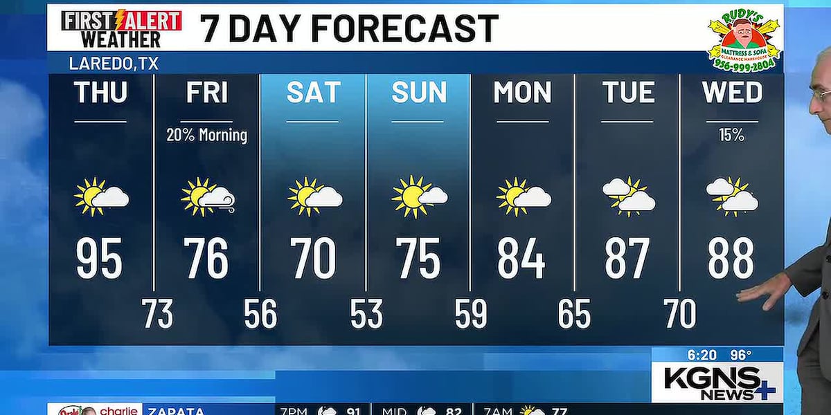 Tropical Air Thursday, Much Cooler Friday
Wednesday 7 Day Forecast LAREDO, Tex. (KGNS) - A wave in the upper level wind flow will move into the Great Plains during Thursday. Behind it is a flow from the north which will accelerate a cool airmass southward…
-
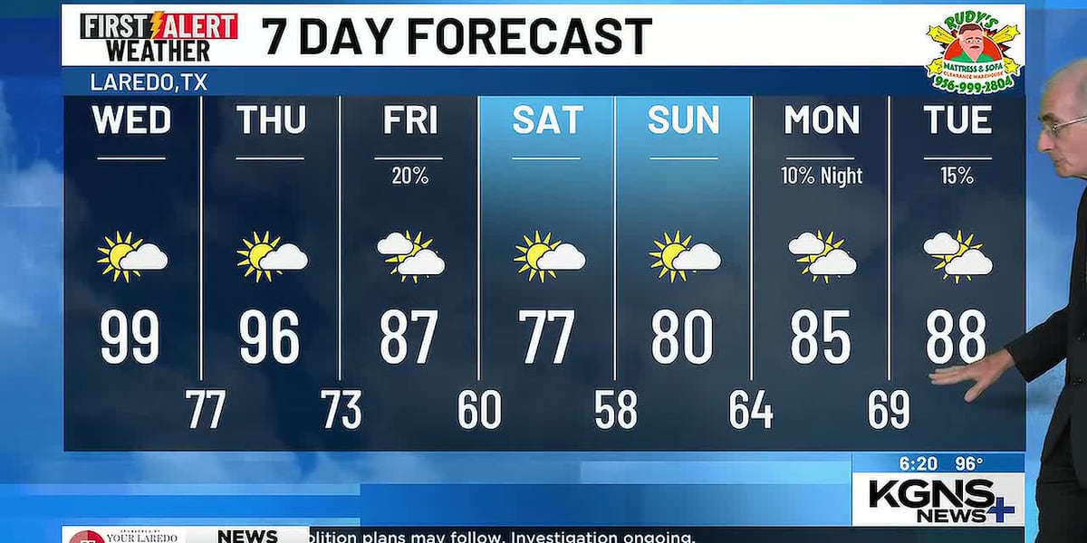 Hot Through Thursday, North Wind Arrives Friday
Tuesday 7 Day Forecast LAREDO, Tex. (KGNS) - A wave in the upper level wind flow over Utah will move across the Great Plains during Thursday. Through Thursday, we will be in a tropical airmass. Once the upper level wave…
-
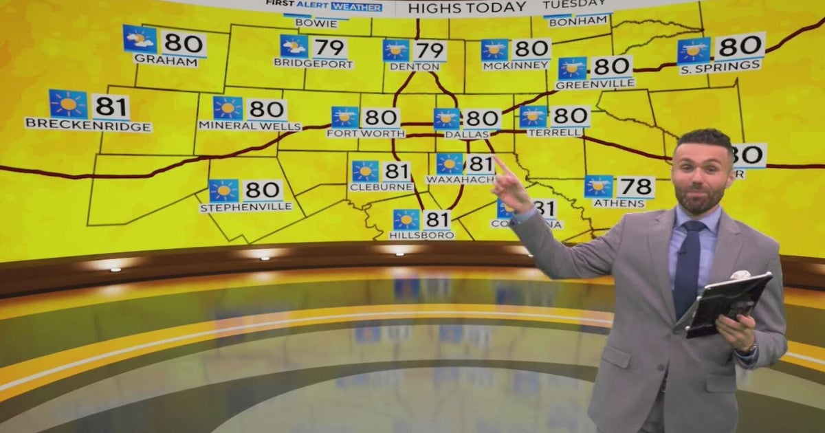 Great weather in North Texas this week
CBS News Baltimore 8am CBS News Boston 8am CBS News Chicago 7am CBS News Colorado This Morning 6am CBS News Los Angeles Mornings 5am CBS News Miami 8am CBS News New York 8am CBS News Texas 7am
-
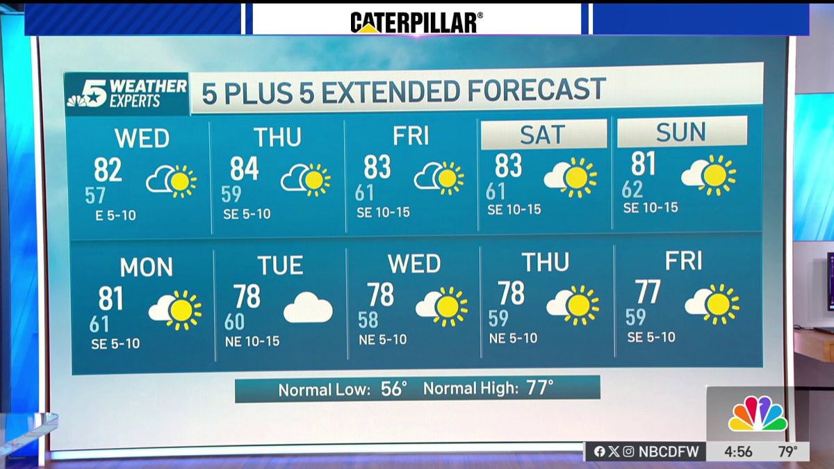 NBC 5 Forecast: A quiet weather pattern continues for North Texas
NBC 5 Dallas-Fort Worth NBC 5 Forecast: A quiet weather pattern continues for North Texas
-
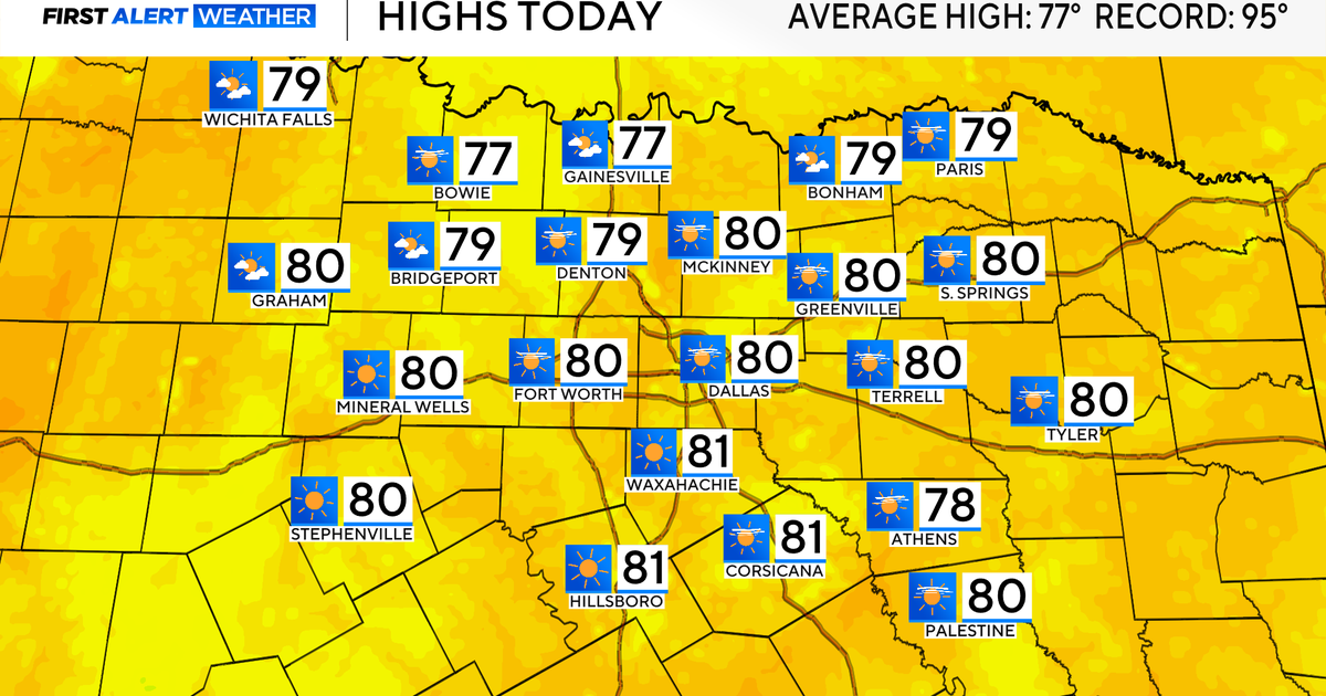 Temperatures climb into 80s as rain chances remain slim across North Texas
Updated on: October 20, 2026 / 7:28 AM CDT / CBS Texas It's another crisp fall morning, Tuesday, with temperatures in the 40s and 50s across North Texas. Have the light jacket handy and grab your sunglasses for the…
-
 When will fall foliage peak across Texas? Here’s a timeline.
Maple trees are turning colors at Lost Maples State Nature Area near Vanderpool. The park is a popular destination in the fall, and reservations are recommended. Fall weather finally arrived across all of Texas last…
-
 Partly Cloudy, no rain expected Tuesday in Southeast Texas
NewsBreak: Local News & Alerts Partly Cloudy, no rain expected Tuesday in Southeast Texas You may also like
-
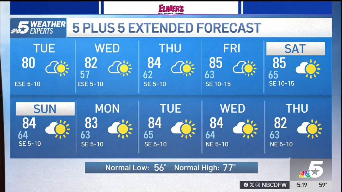 NBC 5 Forecast: A quiet weather pattern for North Texas
NBC 5 Dallas-Fort Worth NBC 5 Forecast: A quiet weather pattern for North Texas
Air quality
Acceptable. Unusually sensitive people should consider limiting prolonged outdoor exertion.
Forecast
- WedGood
- ThuModerate
- FriGood
Laredo, TX reporting area · 1 hr ago. Data from AirNow (EPA and its state, local and tribal partners); preliminary and subject to change.
Sun & moon
Almanac
MonthlyLaredo Area, records since 1902. Normals 1991–2020. Data from NOAA's Regional Climate Centers (ACIS).
Nearby
- Nuevo Laredo 11 km
- El Campanario y Oradel 17 km
- Rio Bravo 22 km
- El Cenizo 24 km
- Cactus 39 km
Forecasters' discussion
From the National Weather Service office in CRP, issued 1 hr ago
Key Messages
Issued at 139 AM CDT Wed Oct 21 2026
- Low to moderate (30-60%) rain chances today, mainly along the coast and Coastal Bend. Highest chances will be across the coastal waters.
- Minor coastal flooding will remain possible through the week.
- Moderate Rip Current Risk today through Wednesday.
Discussion
Issued at 139 AM CDT Wed Oct 21 2026
A relatively quiet weather pattern is expected across South Texas through much of the forecast period as mid-level ridging builds over the region. Temperatures will remain near to slightly above seasonal normals, with limited opportunities for precipitation.
A weak disturbance will continue to support isolated to scattered showers across portions of the Coastal Plains and adjacent waters today, with the greatest rain chances remaining offshore. As the disturbance shifts away from the region and ridging becomes established, subsidence will favor predominantly dry conditions heading into the weekend.
Little change is anticipated through early next week as the ridge maintains its influence across South Texas. Temperatures will continue to trend near to above normal, with generally light to moderate winds. Overall, confidence remains fairly high in a continuation of the warm and mostly dry pattern through the middle of next week. Looking ahead, towards the end of the forecast, early model runs show another cold front sweeping across the region with another potential cooldown and perhaps some showers, but more on that later.
Guidance continues to show elevated tidal levels and the potential for minor coastal flooding continues through the week. This will be accompanied by a moderate risk of rip currents today mainly due to elevated swells around 8 seconds.
Aviation
(06Z TAFS) Issued at 139 AM CDT Wed Oct 21 2026
VFR conditions will be expected to prevail through the entirety of the TAF cycle. Some periods of MVFR CIGs will be possible beginning in the midmorning hours 14-15Z through the early afternoon hours at CRP. This will be due to shower activity potentially moving onshore affecting the CRP terminal. Otherwise, light and variable winds will be expected through the day with stronger winds near the coastal region (CRP).
Marine
Issued at 139 AM CDT Wed Oct 21 2026
Mainly a gentle to moderate easterly flow (BF 3-4) with occasionally fresh conditions can generally be expected through the period with winds shifting more onshore by this weekend. A moderate to high rain chance today will taper off by Wednesday night.
Forecasts, observations and alerts in the United States come from the National Weather Service (NOAA); radar from NOAA's Multi-Radar Multi-Sensor system; satellite imagery from NASA's Global Imagery Browse Services (GIBS) and NOAA's GOES satellites; the map from the U.S. Geological Survey's National Map; air quality from AirNow (EPA and its partners); hurricane information from the National Hurricane Center; climate normals and records from NOAA's Regional Climate Centers (ACIS). Forecasts outside the United States and the UV index: MET Norway (CC BY 4.0); observations outside the U.S.: airport reports via NOAA's Aviation Weather Center. Place names: GeoNames (CC BY 4.0). Data are copied on a schedule and may lag the sources; for warnings that affect your safety, follow your local National Weather Service office and emergency officials. Weather news is drawn from the 4Search index and reflects what the press published. Terms of use.