Install
Carthage, TX 75633 Weather
Current conditions
Forecast for this hour (no station report in the last two hours)
Forecast
10-day-
Today
Sunny, with a high near 78. East wind around 5 mph.
-
Tonight
Mostly clear, with a low around 48. Northeast wind 0 to 5 mph.
-
Wednesday
Sunny, with a high near 80. Northeast wind 0 to 5 mph.
National Weather Service forecast updated 9 hrs ago.
Hourly
Hourly forecast- Now77°
- 4 PM78°
- 5 PM77°
- 6 PM74°
- 7 PM69°
- 8 PM64°
- 9 PM61°
- 10 PM59°
- 11 PM58°
- Wed12 AM57°
- 1 AM55°
- 2 AM53°
- 3 AM52°
- 4 AM50°
- 5 AM50°
- 6 AM49°
- 7 AM48°
- 8 AM50°
- 9 AM55°
- 10 AM63°
- 11 AM69°
- 12 PM74°
- 1 PM78°
- 2 PM79°
10-day forecast
Details- TodayOct 20Sunny48°78°
- WedOct 21Sunny48°80°
- ThuOct 22Sunny51°83°
- FriOct 23Sunny50°82°
- SatOct 24Sunny52°83°
- SunOct 25Mostly Sunny52°81°
- MonOct 26Mostly Sunny53°81°
- TueOct 27Cloudy0.08 in56°80°
- WedOct 28Cloudy62°80°
- ThuOct 29Sunny58°79°
Days after the National Weather Service's seven are MET Norway's outlook, a computer model with no forecaster's review.
Radar
Full mapWeather news in Texas
More weather news-
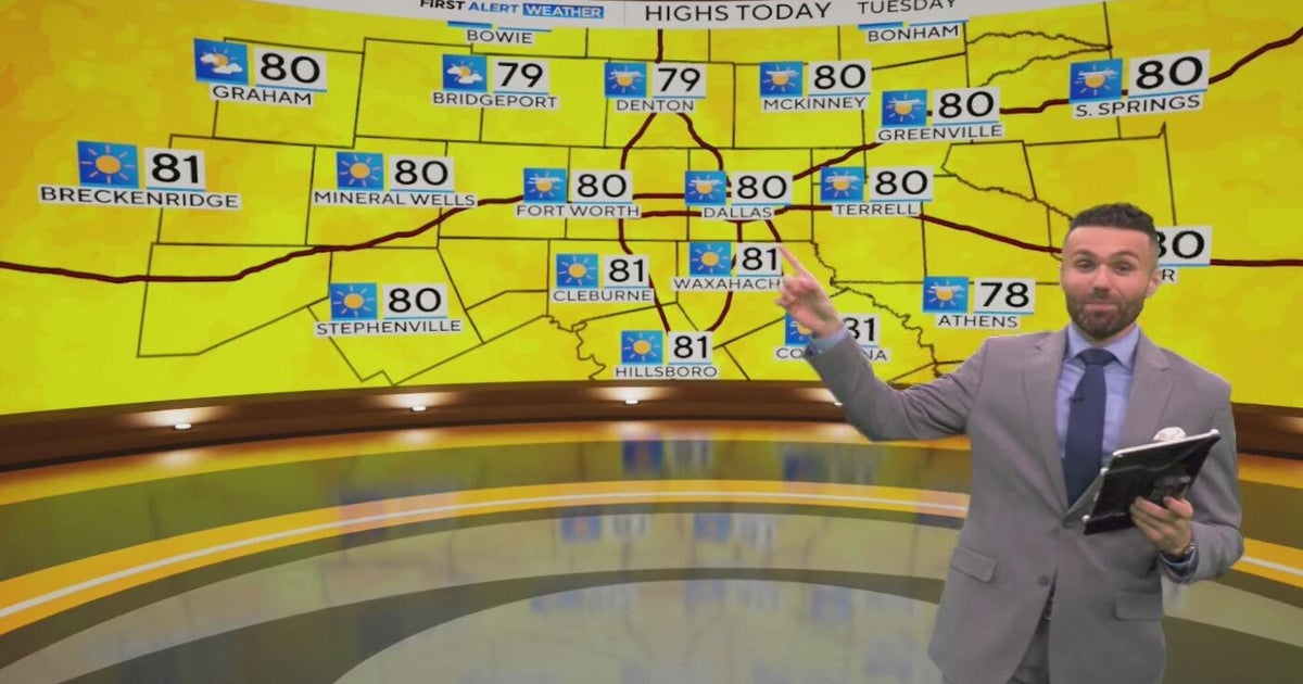 Great weather in North Texas this week
CBS News Baltimore 8am CBS News Boston 8am CBS News Chicago 7am CBS News Colorado This Morning 6am CBS News Los Angeles Mornings 5am CBS News Miami 8am CBS News New York 8am CBS News Texas 7am
-
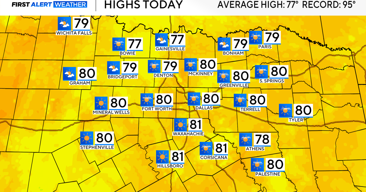 Temperatures climb into 80s as rain chances remain slim across North Texas
Updated on: October 20, 2026 / 7:28 AM CDT / CBS Texas It's another crisp fall morning, Tuesday, with temperatures in the 40s and 50s across North Texas. Have the light jacket handy and grab your sunglasses for the…
-
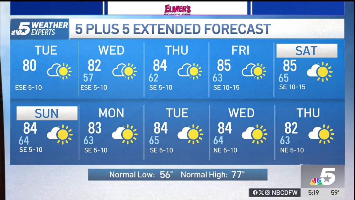 NBC 5 Forecast: A quiet weather pattern for North Texas
NBC 5 Dallas-Fort Worth NBC 5 Forecast: A quiet weather pattern for North Texas
-
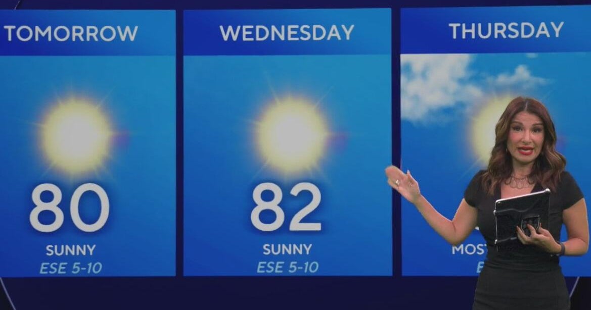 Beautiful stretch of weather continues across North Texas
The Takeout with Major Garrett CBS News Chicago 4pm CBS News Detroit 5pm CBS News Miami 5pm The 4 from WCCO News CBS News New York 5pm CBS News Philadelphia 5pm CBS News Texas at 4pm
-
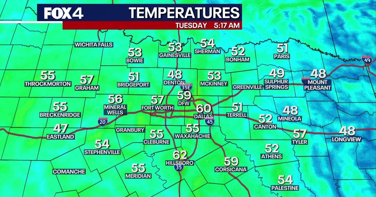 Dallas Weather: 80-degree highs return to North Texas
FOX 4's Ali Turiano has the morning forecast for Oct. 20. DALLAS - North Texans can expect pleasant weather to continue as afternoon highs return to the 80s starting today and last through the rest of the week. After…
-
 Texas Warms Back Up, West Texas Rain Chances Return by Friday | Texas Weather Roundup
Crashy the Cold Front is long gone, and Texas is warming back up. South winds and a little more humidity are back this week. Most of the state stays dry, but rain chances creep back into West Texas by Thursday and…
-
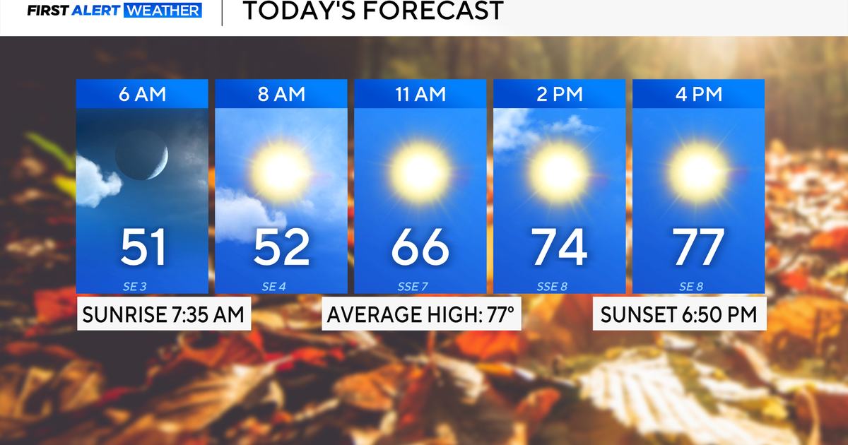 Expect a beautiful fall week across North Texas with cool mornings, temperatures in the 70s and 80s
October 19, 2026 / 6:30 AM CDT / CBS Texas It will be a beautiful and mild start to the week. Expect high clouds to dissipate throughout Monday, mild winds from the southeast and temperatures to top out in the upper 70s…
-
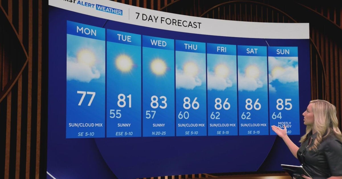 Cool and crisp morning in store for North Texas as temperatures top out in 70s, 80s this week
CBS News Baltimore 8am CBS News Boston 8am CBS News Chicago 7am CBS News Colorado This Morning 6am CBS News Los Angeles Mornings 5am CBS News Miami 8am CBS News New York 8am CBS News Texas 7am
-
 Texas braces for warming trend after shocking cold front
Will fall conditons end anytime soon in Texas? The National Weather Service says a warming trend is in store for the state. How long will cooler, fall-like temperatures hang on across Texas? Forecasters with the…
-
 NWS: Here's when Central Texas will finally cool down for the year
A cold front hit Texas last weekend, bringing a boon for those San Antonio temperatures that make fall feel more like summer part two. But when can residents in South Central Texas expect for the weather to actually…
Air quality
Air quality is satisfactory, and air pollution poses little or no risk.
Forecast
- TueGood (44)
- WedGood (50)
- ThuModerate (53)
Shreveport, LA reporting area · 1 hr ago. Data from AirNow (EPA and its state, local and tribal partners); preliminary and subject to change.
Sun & moon
Nearby
Forecasters' discussion
From the National Weather Service office in SHV, issued 9 hrs ago
Key Messages
Issued at 1119 PM CDT Mon Oct 19 2026
- Gradual warming will bring the Ark-La-Tx back above 80 degrees by midweek, with no end in sight.
- Persistant dry air will continue to worsen drought and fire weather concerns through the next week.
- The current Fire Danger Statement is now in place until at least 7 pm CDT Friday evening.
Discussion
Issued at 1119 PM CDT Mon Oct 19 2026
An upper-level ridge is continuing to build over the Southern Plains, which will keep temperatures rising into the 80s for much of the area by Wednesday. The ridge axis is expected to shift slightly west as it intensifies and will keep upper-level flow northerly and dry. The dry air combined with broad subsidence from the ridge will keep skies mostly clear and free of rain through the long-term period. The recent NBM has pulled back max temperatures a bit for the extended period, keeping things in the low to mid 80s compared to previous runs continuing to climb into the upper 80s by the end of the week. Should this relatively cooler solution verify, temperatures by Friday will be back to 5-10 degrees above normal for this time of year.
Despite warmer temperatures, the current airmass is likely to stay noticeably dry. Long-range models are keeping surface winds easterly for much of this week which will keep dry, continental air moving into the region. The earliest change to this would be late this weekend with the development of a broad surface high near the Mid-Atlantic states, which would possibly shift winds southerly if the edges of the high can reach far enough southwest. This will be something to watch over the coming days, as this is looking past the current forecast period.
The dryness will continue to put fire weather at the forefront of the forecast this week. The ongoing Fire Danger Statement has been extended through this Friday night, as conditions are likely to remain steady through the week. Many counties and parishes have burn bans in place due to the persistant drought and extremely dry fuels present from lack of substantial rain. The public is encouraged to avoid any outdoor burning or activities that could spark wildfires for the foreseeable future.
57
Aviation
(12Z TAFS) Issued at 634 AM CDT Tue Oct 20 2026
For the 20/12z TAF period...Expect VFR conditions with passing SCT mid & high clouds during the period. Surface Winds will range from light/variable ENE between 5-7 mph during the period. /20/
Spotter Information Statement
Issued at 1119 PM CDT Mon Oct 19 2026
Spotter activation may be needed this week in the event of wildfire development.
Forecasts, observations and alerts in the United States come from the National Weather Service (NOAA); radar from NOAA's Multi-Radar Multi-Sensor system; satellite imagery from NASA's Global Imagery Browse Services (GIBS) and NOAA's GOES satellites; the map from the U.S. Geological Survey's National Map; air quality from AirNow (EPA and its partners); hurricane information from the National Hurricane Center; climate normals and records from NOAA's Regional Climate Centers (ACIS). Forecasts outside the United States and the UV index: MET Norway (CC BY 4.0); observations outside the U.S.: airport reports via NOAA's Aviation Weather Center. Place names: GeoNames (CC BY 4.0). Data are copied on a schedule and may lag the sources; for warnings that affect your safety, follow your local National Weather Service office and emergency officials. Weather news is drawn from the 4Search index and reflects what the press published. Terms of use.