Install
Nash, TX 75569 Weather
Current conditions
Forecast for this hour (no station report in the last two hours)
Forecast
10-day-
Today
Sunny, with a high near 84. East wind around 5 mph.
-
Tonight
Mostly clear, with a low around 51. East wind 0 to 5 mph.
-
Friday
Sunny, with a high near 84. East wind 0 to 5 mph.
National Weather Service forecast updated 6 hrs ago.
Hourly
Hourly forecast- Now81°
- 2 PM82°
- 3 PM83°
- 4 PM84°
- 5 PM82°
- 6 PM80°
- 7 PM74°
- 8 PM67°
- 9 PM64°
- 10 PM62°
- 11 PM60°
- Fri12 AM59°
- 1 AM58°
- 2 AM56°
- 3 AM55°
- 4 AM53°
- 5 AM53°
- 6 AM52°
- 7 AM51°
- 8 AM53°
- 9 AM58°
- 10 AM67°
- 11 AM73°
- 12 PM77°
10-day forecast
Details- TodayOct 22Sunny51°84°
- FriOct 23Sunny53°84°
- SatOct 24Sunny52°84°
- SunOct 25Mostly Sunny52°80°
- MonOct 26Partly Sunny53°80°
- TueOct 27Partly Sunny53°79°
- WedOct 28Mostly Sunny51°80°
- ThuOct 29Mostly sunny0.02 in61°83°
- FriOct 30Cloudy53°70°
- SatOct 31Rain0.08 in55°68°
Days after the National Weather Service's seven are MET Norway's outlook, a computer model with no forecaster's review.
Radar
Full mapWeather news near Nash
More weather news-
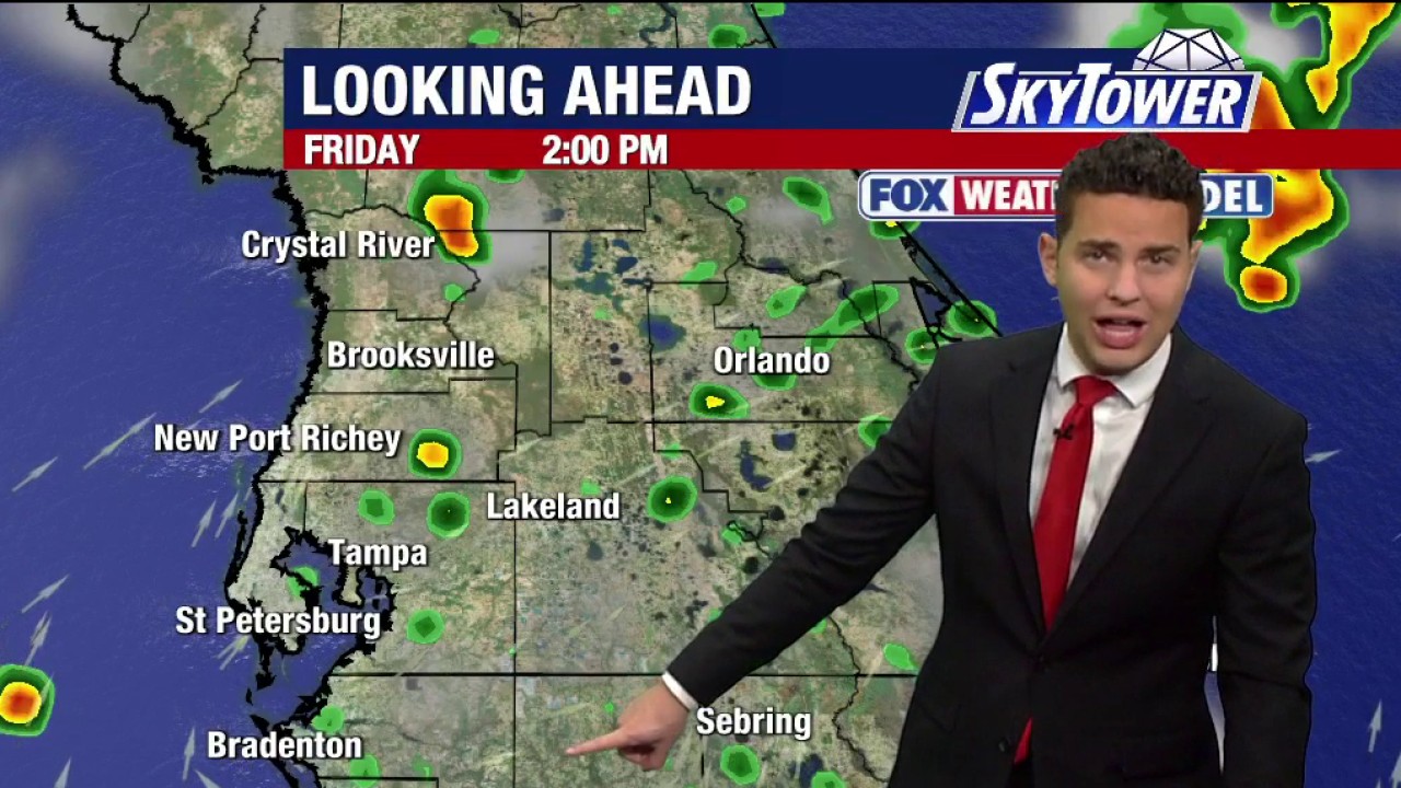 Tampa weather | Friday afternoon forecast
FOX 13 Tampa Bay FOX 13 Meteorologist Nash Rhodes says Friday will be warm with a slight chance of rain and a high temperature of 89 degrees.
-
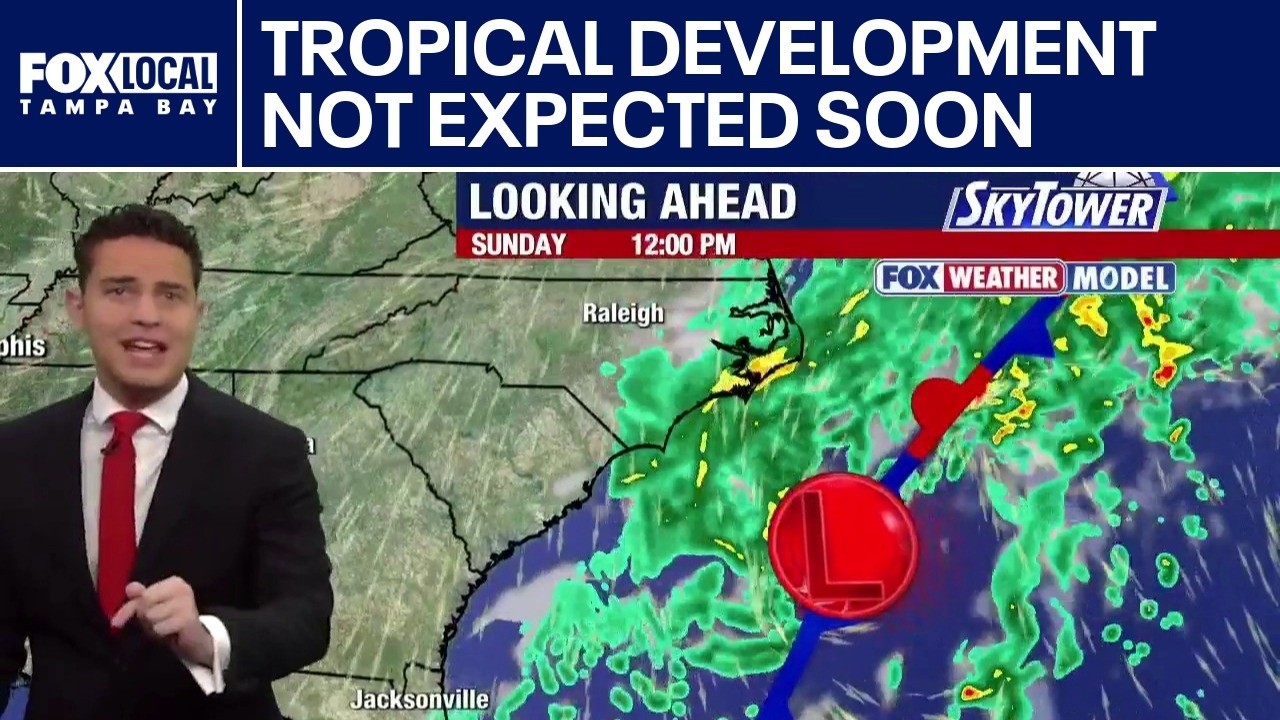 Tropical development not expected soon
FOX 13 Tampa Bay FOX 13 Meteorologist Nash Rhodes is watching a quiet tropics, where nothing is expected to develop over the next week. He said there are 45 days left in the 2026 hurricane season. Rhodes said a…
- Friday stays plenty warm; Big changes this weekend
WITN The unseasonably warm weather will hang on for one last day Friday. A strong cold front will move through Friday night into Saturday with strong north winds bringing much cooler air, along with widespread rain on…
-
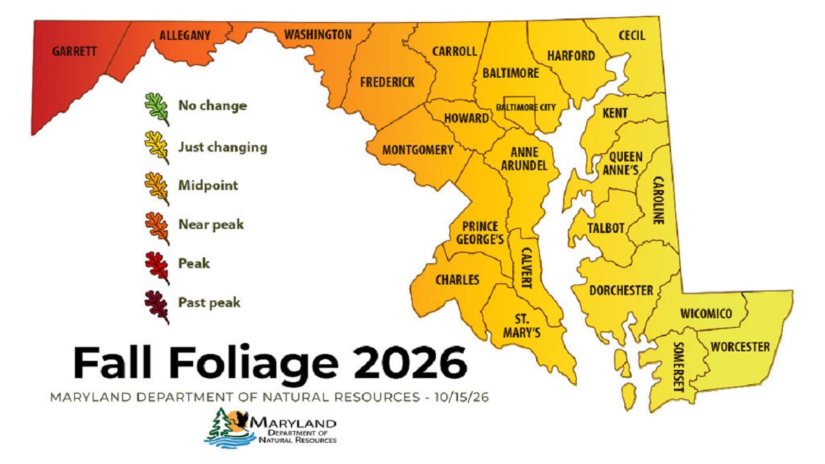 Western Maryland Peaks as Fall Color Spreads Across State
Leaf peepers looking for peak color this weekend will have to drive west. The Maryland Department of Natural Resources’ Oct. 15 fall foliage report shows Garrett County at peak and Allegany County close behind, while…
-
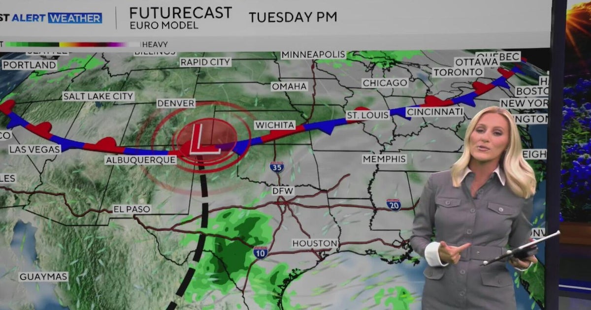 Warm, sunny weather continues in North Texas before clouds return
North Texas will continue enjoying above-average temperatures and sunny skies through the end of the workweek, with highs climbing into the mid-80s by Friday. Clouds begin moving in on Sunday, bringing a little less…
-
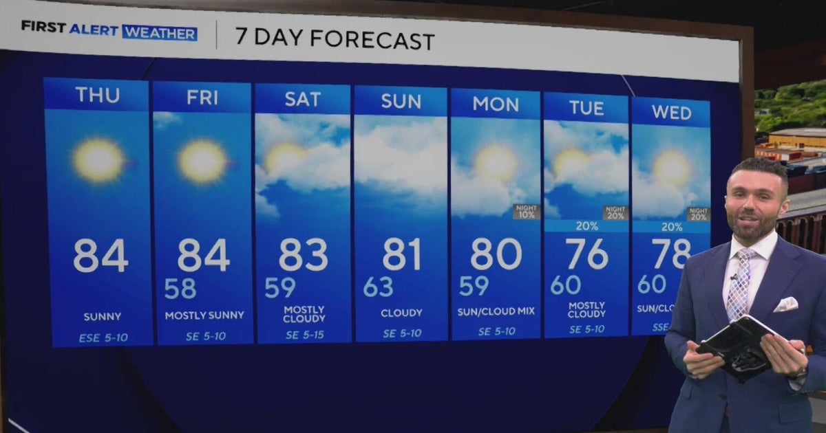 Cloudy, warm weekend on deck as temperatures stay in the low 80s in North Texas
CBS News Baltimore 8am CBS News Boston 8am CBS News Chicago 7am CBS News Colorado This Morning 6am CBS News Los Angeles Mornings 5am CBS News Miami 8am CBS News New York 8am CBS News Texas 7am
-
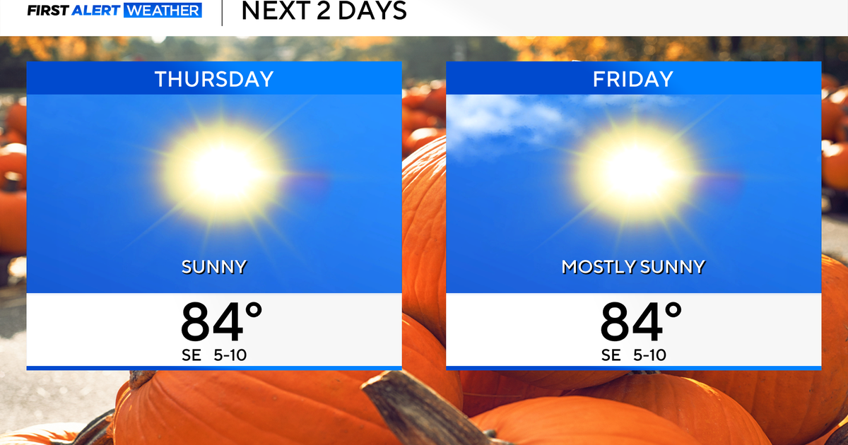 Temperatures to stay in 80s through weekend as clouds increase across North Texas
October 22, 2026 / 7:57 AM CDT / CBS Texas Temperatures are in the 50s and low 60s when you step outside to start your day. The forecast is almost identical to Wednesday, with sunshine and highs in the 80s in store for…
-
 The Biggest Weather Myths About Texas We All Believe are True
(Tyler, Texas) - I have always been fascinated by our weather in East Texas. Even when we think we've got it down what it's going to do outside, it changes on us five minutes later. It makes it hard for us to figure out…
-
 Hail, flooding and cold front headed for parts of Texas. Here's where.
Severe weather could bring large hail to West Texas. Parts of Texas could face several days of severe weather, with storms kicking off today and potentially lasting through the weekend. Scattered to numerous…
-
 Cold front may plummet Texas temperatures. Here's when
Cold front barreling toward Texas may plummet temps. Here's when MySA San Antonio isn't headed for a permanent cool-down just yet, but cold front after cold front has been providing some relief from summer-like…
Sun & moon
Almanac
MonthlyTexarkana Webb Field, records since 1892. Normals 1991–2020. Data from NOAA's Regional Climate Centers (ACIS).
Nearby
- Texarkana 7 km
- Texarkana 8 km
- Hope 56 km
- Atlanta 36 km
- Wake Village 2 km
- New Boston 27 km
- Ashdown 27 km
- Hooks 16 km
Forecasters' discussion
From the National Weather Service office in SHV, issued 7 hrs ago
Key Messages
Issued at 1129 PM CDT Wed Oct 21 2026
- Seasonably warm and prolonged dry conditions will maintain an elevated wildfire risk throughout this 7-day forecast period.
- The lack of appreciable rainfall will result in further drought degradation through the end of the month.
- Longer range guidance beyond the next 7 days suggests the potential for a more active pattern closer to Halloween into early November.
Discussion
Issued at 1127 PM CDT Wed Oct 21 2026
An upper-level ridge across Texas to build east across the ArkLaTex through the end of the workweek resulting in mostly clear skies and elevated afternoon highs in the low to mid 80s. A broad surface high extending from southeast Canada into the Great Lakes region and ridging southward into the Deep South will remain firmly established across the region through the weekend. This dry airmass will allow for overnight low temperatures to fall into the upper 40s to lower 50s. Additionally, the combination of drier air and ongoing drought conditions will maintain an elevated wildfire threat across the region through much of the 7 day forecast period. Fortunately, the lack of strong winds will help to slow the spread of any wildfires that do develop.
Upper-level ridge shifts south early next week allowing for southwest flow to increase aloft. Could see increased cloud- cover areawide along with slightly cooler afternoon highs due to increased mixing. However, surface high to remain firmly established across the region with winds remaining east to northeast, restricting gulf moisture return.
Otherwise, a frontal boundary to move through the region on Tuesday into Tuesday night with continental high pressure building in its wake. With a lack of low-level moisture, not expecting any significant convection with the frontal passage. /05/
Aviation
(12Z TAFS) Issued at 553 AM CDT Thu Oct 22 2026
For the 22/12z TAF period...Expect VFR conditions with a FEW passing high clouds during the period. Surface Winds will range from light/variable to ENE between 5-7 mph during the period. /20/
Fire Weather
Issued at 553 AM CDT Thu Oct 22 2026
A Fire Danger Statement remains in effect through 7 PM Friday. Relative humidity values between the upper teens to 30%, along with ongoing Severe to Exceptional drought, will continue to yield elevated wildfire conditions over the region.
Forecasts, observations and alerts in the United States come from the National Weather Service (NOAA); radar from NOAA's Multi-Radar Multi-Sensor system; satellite imagery from NASA's Global Imagery Browse Services (GIBS) and NOAA's GOES satellites; the map from the U.S. Geological Survey's National Map; air quality from AirNow (EPA and its partners); hurricane information from the National Hurricane Center; climate normals and records from NOAA's Regional Climate Centers (ACIS). Forecasts outside the United States and the UV index: MET Norway (CC BY 4.0); observations outside the U.S.: airport reports via NOAA's Aviation Weather Center. Place names: GeoNames (CC BY 4.0). Data are copied on a schedule and may lag the sources; for warnings that affect your safety, follow your local National Weather Service office and emergency officials. Weather news is drawn from the 4Search index and reflects what the press published. Terms of use.