Install
Melissa, TX 75454 Weather
Current conditions
Observed at McKinney - McKinney National Airport · 29 min ago
Forecast
10-day-
Tonight
Clear. Low around 52, with temperatures rising to around 54 overnight. East wind 0 to 5 mph.
-
Wednesday
Sunny. High near 80, with temperatures falling to around 78 in the afternoon. East wind 0 to 5 mph.
-
Wednesday Night
Clear. Low around 56, with temperatures rising to around 58 overnight. East wind around 0 mph.
National Weather Service forecast updated 5 hrs ago.
Hourly
Hourly forecast- Now59°
- Wed12 AM57°
- 1 AM56°
- 2 AM55°
- 3 AM55°
- 4 AM54°
- 5 AM54°
- 6 AM53°
- 7 AM53°
- 8 AM53°
- 9 AM57°
- 10 AM65°
- 11 AM69°
- 12 PM73°
- 1 PM76°
- 2 PM78°
- 3 PM79°
- 4 PM80°
- 5 PM78°
- 6 PM78°
- 7 PM74°
- 8 PM69°
- 9 PM66°
- 10 PM64°
10-day forecast
Details- TonightOct 20Clear52°
- WedOct 21Sunny56°80°
- ThuOct 22Sunny59°82°
- FriOct 23Mostly Sunny58°82°
- SatOct 24Mostly Sunny58°82°
- SunOct 25Mostly Sunny57°78°
- MonOct 26Mostly Sunny58°78°
- TueOct 27Partly Sunny75°
- WedOct 28Sunny48°61°
- ThuOct 29Cloudy47°62°
Days after the National Weather Service's seven are MET Norway's outlook, a computer model with no forecaster's review.
Radar
Full mapWeather news near Melissa
More weather news-
 Super Typhoon Champi intensifies to a Cat 5 after battering Guam
JTWC initially analyzed Champi as a Cat 4 with 150 mph winds at 00 UTC Oct. 18, but in a subsequent forecast discussion, they noted they had reanalyzed the 0Z intensity, upgrading it to Cat 5. Champi is the ninth Cat 5…
-
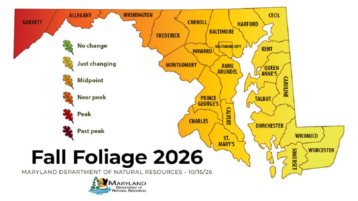 Western Maryland Peaks as Fall Color Spreads Across State
Leaf peepers looking for peak color this weekend will have to drive west. The Maryland Department of Natural Resources’ Oct. 15 fall foliage report shows Garrett County at peak and Allegany County close behind, while…
-
 Dangerous Freeze Watch and Warnings Issued for 4 Counties in New Mexico as Temperatures Plummet
Freeze Warnings are in effect overnight for New Mexico’s Upper Rio Grande Valley and Colorado’s San Luis Valley, with a Freeze Watch for Friday morning across the New Mexico highlands and western Colorado. A Wind…
-
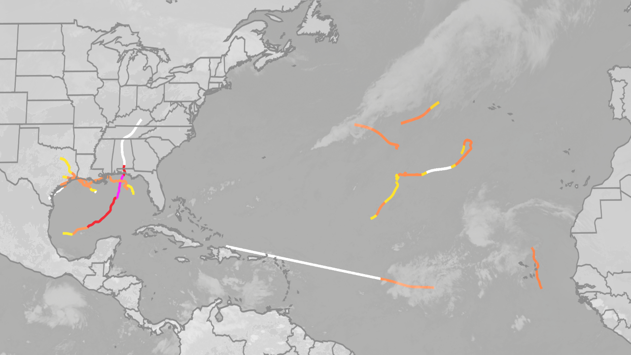 Is hurricane season over? Here's what past super El Niños have shown
Mother and daughter survive as Isaias rips off their roof The Atlantic hurricane season may already be over if previous super El Niños are a guide, at least when it comes to any tropical threat to the mainland U.S. As…
-
 AI helping hurricane forecasting, but experts say human expertise still matters
Artificial intelligence is changing the way we do a lot of things—and weather forecasting is no exception. In fact, as Hurricane Isaias bore down on the Gulf Coast last week, the National Hurricane Center leaned heavily…
-
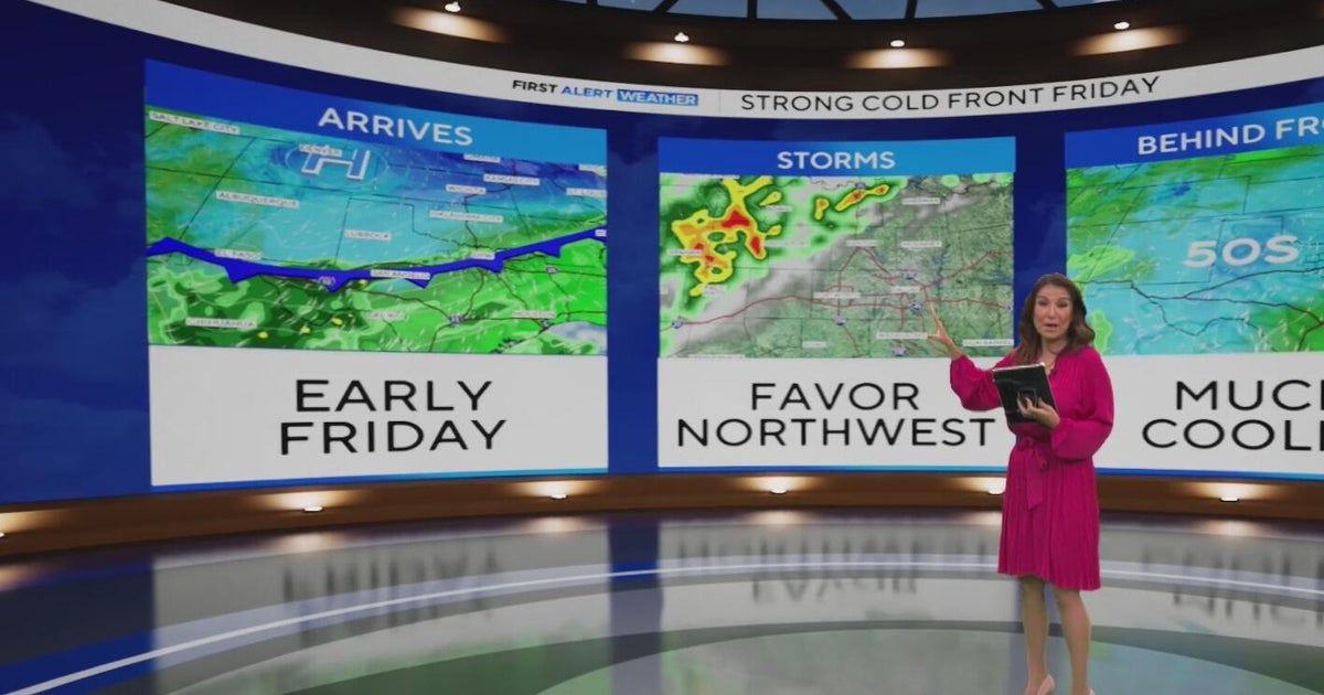 Late-week cooldown in the cards for North Texas
Summer makes one final push as we see feels-like temperatures close to 100° through Wednesday. The cooldown begins on Thursday as temperatures fall into the 80s, and then we really see the cooler air on Friday. A cold…
-
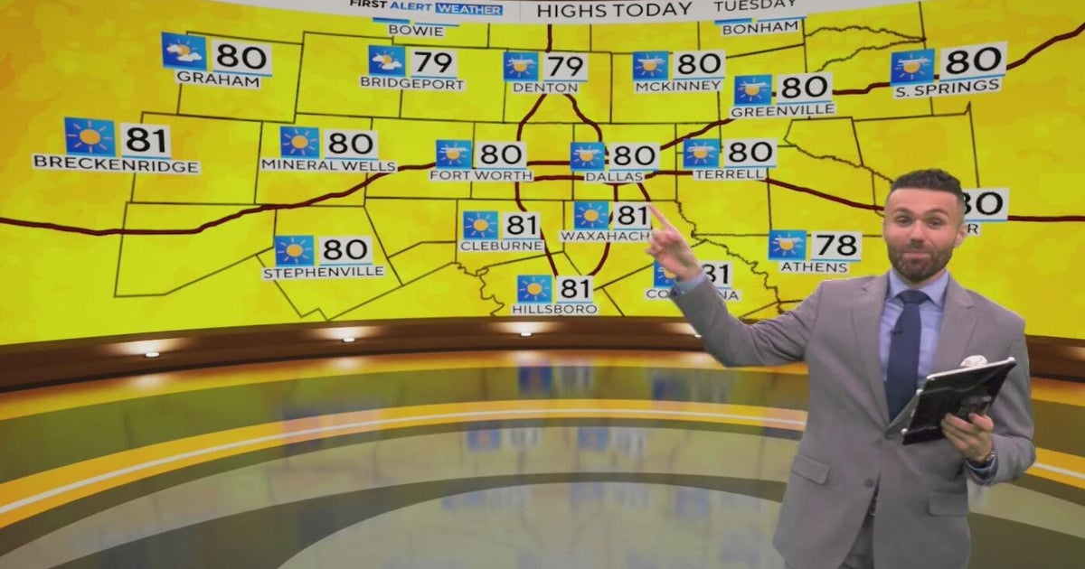 Great weather in North Texas this week
CBS News Baltimore 8am CBS News Boston 8am CBS News Chicago 7am CBS News Colorado This Morning 6am CBS News Los Angeles Mornings 5am CBS News Miami 8am CBS News New York 8am CBS News Texas 7am
-
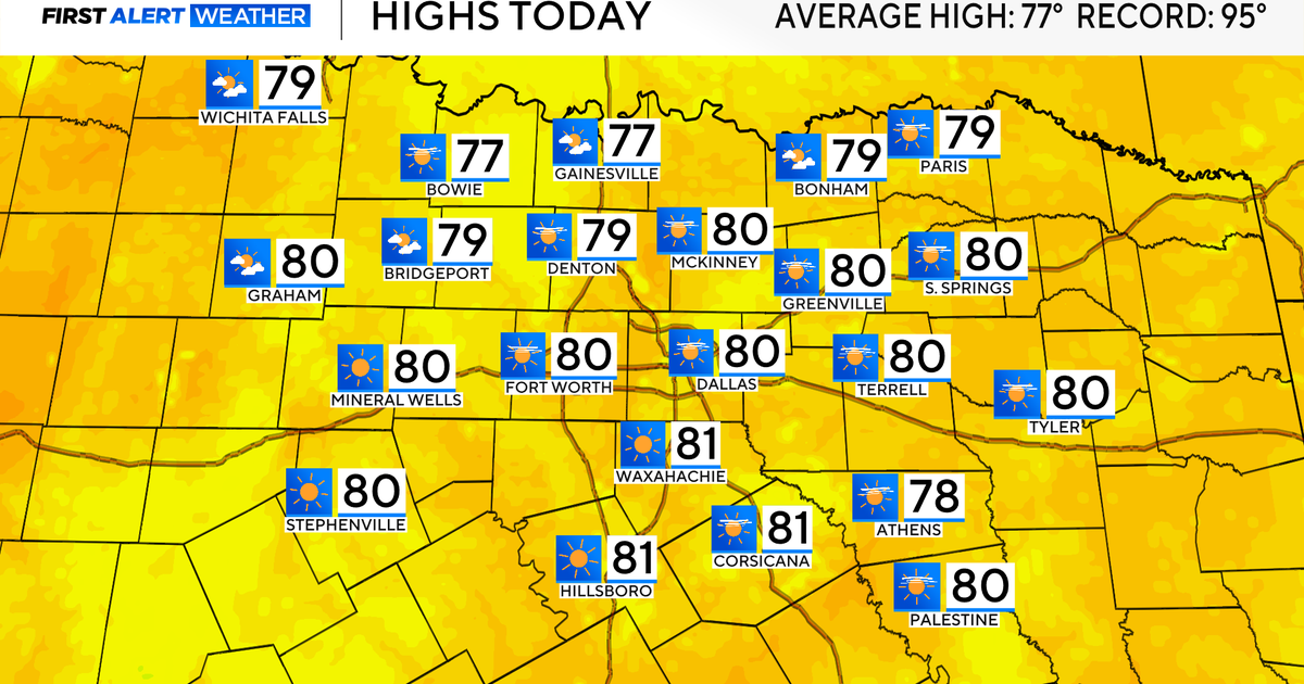 Temperatures climb into 80s as rain chances remain slim across North Texas
Updated on: October 20, 2026 / 7:28 AM CDT / CBS Texas It's another crisp fall morning, Tuesday, with temperatures in the 40s and 50s across North Texas. Have the light jacket handy and grab your sunglasses for the…
-
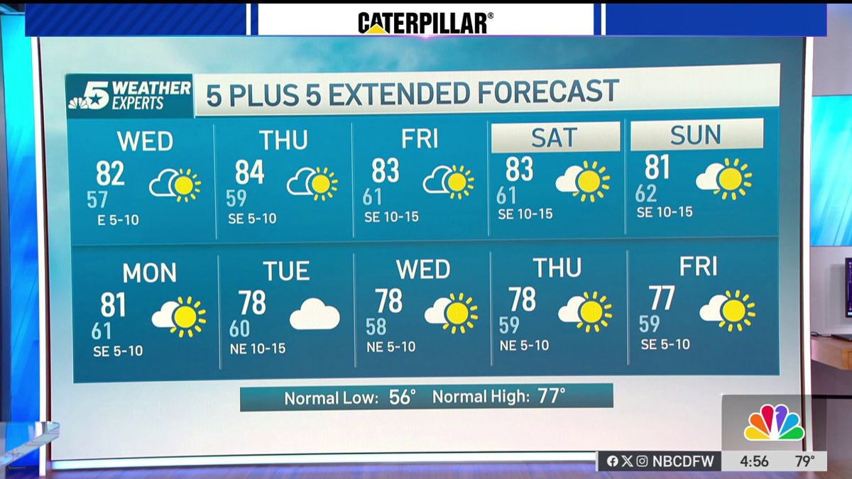 NBC 5 Forecast: A quiet weather pattern continues for North Texas
NBC 5 Dallas-Fort Worth NBC 5 Forecast: A quiet weather pattern continues for North Texas
-
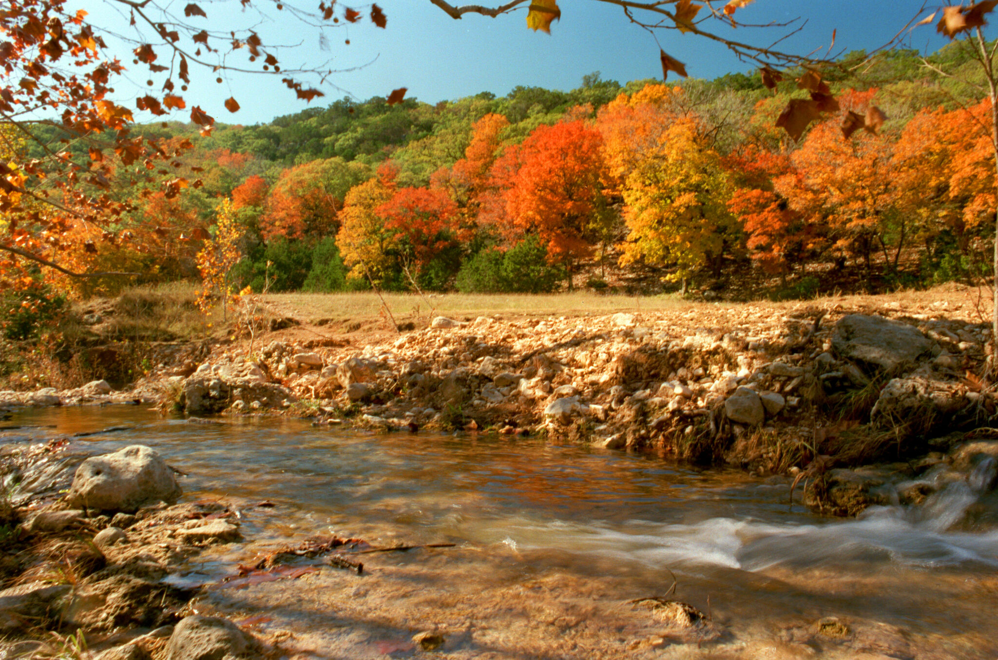 When will fall foliage peak across Texas? Here’s a timeline.
Maple trees are turning colors at Lost Maples State Nature Area near Vanderpool. The park is a popular destination in the fall, and reservations are recommended. Fall weather finally arrived across all of Texas last…
Air quality
Acceptable. Unusually sensitive people should consider limiting prolonged outdoor exertion.
Forecast
- TueModerate
- WedUnhealthy for Sensitive Groups Action day
- ThuUnhealthy for Sensitive Groups
Dallas-Fort Worth, TX reporting area · 1 hr ago. Data from AirNow (EPA and its state, local and tribal partners); preliminary and subject to change.
Sun & moon
Almanac
MonthlyMckinney Municipal Ap, records since 1998. Normals 1991–2020. Data from NOAA's Regional Climate Centers (ACIS).
Nearby
- Dallas 60 km
- Plano 32 km
- Garland 42 km
- McKinney 10 km
- Frisco 28 km
- Mesquite 58 km
- Carrollton 47 km
- Denton 53 km
- Richardson 40 km
- Lewisville 47 km
- Allen 22 km
- Flower Mound 57 km
Forecasters' discussion
From the National Weather Service office in FWD, issued 5 hrs ago
Key Messages
- Quiet weather will continue through this week, with steadily warming temperatures through the end of the week.
Short Term
(Tonight through Friday) Issued at 1200 PM CDT Tue Oct 20 2026
Calm and quiet weather will continue this week. Upper-level ridging continues to be the dominant pattern across North and Central Texas, extending this streak of pleasant and dry fall weather. Temperatures will gradually warm up day by day, with overnight lows staying in the upper 50s. Wednesday onward, expect highs in the low 80s, with light east winds and some cirrus development keeping temperatures moderate and seasonable. There are no chances for any rain through the end of the week.
Long Term
(Saturday through Tuesday) Issued at 1200 PM CDT Tue Oct 20 2026
This quiet ridging pattern will persist through the weekend, with seasonable weather on tap through the extended period. By Saturday, an upper-level trough along the west coast will begin to send shortwaves along the flow pattern, shunting northeast between the developing trough to the west and the strong ridge overhead. The majority of any shortwave driven ascent should stay off to the northwest which will keep PoP's very low to nil (around 10% for NW North Texas). Cirrus and upper-level cloud development as a result of the intensifying trough and propagating shortwaves will dampen our warming trend slightly, with max temperatures breaking into the low 80s each day this weekend. In addition to seasonal temps, the skin-crackingly dry air should also see some improvement, with southerly winds bringing some moisture return back to the area.
By next Monday, long-range guidance depicts the upper level trough shifting off to the northeast, flattening our current ridge pattern. To the west, LREF cluster analysis has begun to signal a developing upper-level low in the Pacific Northwest that will start to intensify and swing south. With the predominant ridge flattened and weakened, returning rain chances are on the table for North and Central Texas by mid-week as the pattern shifts. Some of the GEFS ensemble members, as well as the GFS, are beginning to resolve a cold frontal passage by the end of this extended period (Tuesday into Wednesday next week), but timing, intensity, and coverage of any rain & storm chances remain uncertain.
Aviation
(00Z TAFS) Issued at 545 PM CDT Tue Oct 20 2026
Isolated rain showers and virga associated with a weak shortwave over the Southern Plains should remain northeast of all TAF locations. A ridge aloft centered over Mexico and South Texas will otherwise provide quiet aviation weather, with VFR and light east winds expected across the board. Will continue with one- line TAFs for this forecast cycle.
Forecasts, observations and alerts in the United States come from the National Weather Service (NOAA); radar from NOAA's Multi-Radar Multi-Sensor system; satellite imagery from NASA's Global Imagery Browse Services (GIBS) and NOAA's GOES satellites; the map from the U.S. Geological Survey's National Map; air quality from AirNow (EPA and its partners); hurricane information from the National Hurricane Center; climate normals and records from NOAA's Regional Climate Centers (ACIS). Forecasts outside the United States and the UV index: MET Norway (CC BY 4.0); observations outside the U.S.: airport reports via NOAA's Aviation Weather Center. Place names: GeoNames (CC BY 4.0). Data are copied on a schedule and may lag the sources; for warnings that affect your safety, follow your local National Weather Service office and emergency officials. Weather news is drawn from the 4Search index and reflects what the press published. Terms of use.