Install
Grove, OK 74344 Weather
Current conditions
Observed at Grove, Grove Municipal Airport · 1 hr ago
Forecast
10-day-
Wednesday
A chance of rain showers. Mostly sunny, with a high near 76. Southwest wind 0 to 5 mph.
-
Wednesday Night
A chance of rain showers before 7pm. Mostly clear, with a low around 49. Northeast wind around 0 mph.
-
Thursday
Sunny, with a high near 78. Southeast wind around 0 mph.
National Weather Service forecast updated 3 hrs ago.
Hourly
Hourly forecast- Now49°10%
- 7 AM49°
- 8 AM49°
- 9 AM53°
- 10 AM60°
- 11 AM65°
- 12 PM69°
- 1 PM72°10%
- 2 PM74°10%
- 3 PM76°10%
- 4 PM75°10%
- 5 PM75°10%
- 6 PM72°10%
- 7 PM67°
- 8 PM60°
- 9 PM57°
- 10 PM56°
- 11 PM55°
- Thu12 AM54°
- 1 AM53°
- 2 AM52°
- 3 AM51°
- 4 AM50°
- 5 AM50°
10-day forecast
Details- TonightOct 20Chance Rain Showers10%49°
- TodayOct 21Chance Rain Showers10%49°76°
- ThuOct 22Sunny51°78°
- FriOct 23Sunny53°79°
- SatOct 24Mostly Sunny54°79°
- SunOct 25Partly Sunny52°77°
- MonOct 26Partly Sunny12%51°73°
- TueOct 27Slight Chance Rain Showers20%66°
- WedOct 28Cloudy0.02 in47°51°
- ThuOct 29Sunny43°58°
Days after the National Weather Service's seven are MET Norway's outlook, a computer model with no forecaster's review.
Radar
Full mapWeather news near Grove
More weather news-
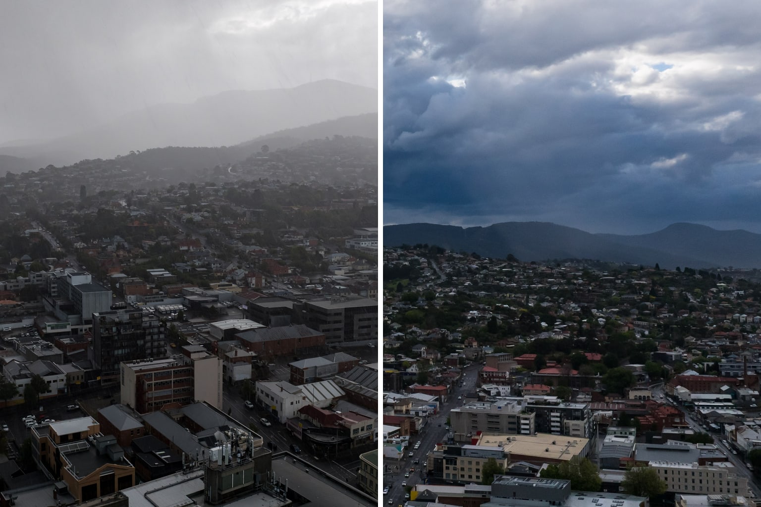 Storms bring thunder and lightning to Hobart hours after city tops 30 degrees
A band of storms has moved over Hobart this afternoon, bringing thunder and lightning to southern Tasmania just hours after the city topped 30 degrees. Thick storm clouds gathered over the capital as the system crossed…
- Sacramento Weather Forecast Rain Returns After Sunday Warmup
Tuesday remains partly sunny with a high near 70, with rain chances extending into Tuesday night. Rain chances continue Wednesday, with a high near 72. Thursday brings only a slight rain chance before a sunny Friday…
- Sunday, Oct. 18, 2026: Spotty shower, temps in the 70s
Download our free KRGV FIRST WARN 5 Weather app for the latest updates right on your phone. Sunday, Oct. 18, 2026: Spotty shower, temps in the 70s You can also follow our KRGV First Warn 5 Weather team on Facebook and…
-
 Cool and mild trend into next week.
KTEN Here is your Saturday night forecast from Meteorologist Parker Schroeder. - Shakeup Saturday: 5 of the top 8 teams in the Top 25 lost for the first time since 1989 - Abdul El-Sayed disavows Muslim Brotherhood and…
- Saturday, Oct. 17, 2026: Windy, cooler, temps in the 70s
Download our free KRGV FIRST WARN 5 Weather app for the latest updates right on your phone. Saturday, Oct. 17, 2026: Windy, cooler, temps in the 70s You can also follow our KRGV First Warn 5 Weather team on Facebook and…
-
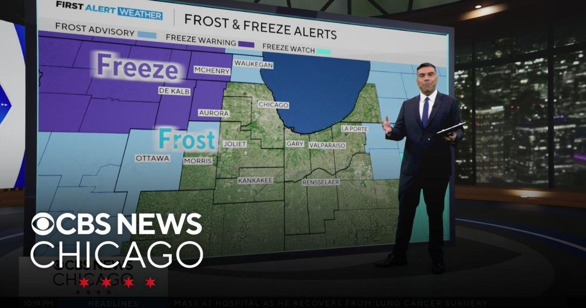 Chicago weather: Freeze and frost possible overnight
CBS News Chicago weather: Freeze and frost possible overnight Eye on Chicago: The Chicago Lighthouse nonprofit marks 120th anniversary "Society of Screams" transforms Chicago Park District space into haunted house Elk…
-
 Spot Rain Early Evening Ends, Then Chilly With Some Frost Tonight
KMOV - Outlying Areas Could See Frost Saturday AM and Sunday AM Tonight: Spot rain may continue into the early evening, but ending shortly after sunset with clearing skies later tonight. Temps will be cool in the 50s to…
-
 High Santa Ana winds continue across Southern California, cooldown in sight for the weekend
Santa Ana winds continued to swirl across Southern California, with low humidity creating high risk fire weather through Saturday, though cooldowns and higher humidity will bring some reprieve as the weekend continues…
-
 Avita Weekend Weather: Sunny, cool weather expected for Saturday and Sunday
BUCYRUS, OH (CRAWFORD COUNTY NOW)—Crawford County is expected to see sunny skies and cool fall weather Saturday and Sunday, Oct. 17-18, with daytime temperatures near 60 degrees. According to the National Weather…
- 10-Day Weather Forecast - Cedar Grove, IN
As of Oct 19, 2026 01:00 PM UTC Sunny. Highs in the upper 60s. Northeast winds around 5 mph. Clear. Lows in the lower 40s. Light and variable winds. Sunny. Highs in the upper 60s. Light and variable winds, becoming…
Air quality
Air quality is satisfactory, and air pollution poses little or no risk.
Miami, OK reporting area · 1 hr ago. Data from AirNow (EPA and its state, local and tribal partners); preliminary and subject to change.
Sun & moon
Almanac
MonthlyUpper Spavinaw Port, records since 2001. Normals 1991–2020. Data from NOAA's Regional Climate Centers (ACIS).
Nearby
- Joplin 59 km
- Bentonville 55 km
- Bella Vista 45 km
- Siloam Springs 49 km
- Miami 33 km
- Neosho 46 km
- Centerton 49 km
- Pryor Creek 59 km
- Pryor 59 km
- Vinita 36 km
- Pea Ridge 59 km
- Baxter Springs 48 km
Forecasters' discussion
From the National Weather Service office in TSA, issued 5 hrs ago
Key Messages
Updated at 1118 PM CDT Tue Oct 20 2026
- Low rain and isolated thunder chances were added late tonight into Wednesday morning across NE OK in association with a passing upper wave.
- Above average highs and dry weather will be the rule for the remainder of this week.
- Rain chances return during the first half of next week as an upper storm system approaches from the west and interacts with a passing cold front.
Short Term
(Through Wednesday) Issued at 1118 PM CDT Tue Oct 20 2026
An upper wave is clearly evident on WV imagery and in the 500mb RAP analysis over SW KS this evening. CAMs show increasing coverage of spotty showers across south-central KS/north-central OK tonight into Wednesday as lift from the wave overspreads the region, spreading east and southeast into NE OK into Wednesday morning. Activity has indeed been increasing on radar recently, with lightning observed in some of it. Mid level lapse rates are steep enough to yield some instability aloft. Due to prevailing surface ridging over much of the central and eastern CONUS, the lower levels of the atmosphere remain relatively dry, with the bulk of the moisture above 700mb. Nevertheless, precip coverage and intensity should be sufficient to increase confidence in hydrometeors making it to the ground across portions of NE OK through Wednesday morning. The forcing is expected to weaken as the wave tracks southeast Wednesday afternoon. Some mention of sprinkles was left in the forecast however.
High temperatures should be fairly similar or slightly warmer than today and above average for this time of year.
Lacy
Long Term
(Wednesday Night through Tuesday) Issued at 1118 PM CDT Tue Oct 20 2026
An amplifying ridge aloft is forecast to prevail over the Plains, downstream from troughing in the West. Above average temps and dry weather will be the rule into the weekend.
Changes in the weather pattern occur by early next week. Energy in the Southwest will move east toward the Plains, while a trough in the northern stream dives down into the country from Canada. The latter system will force a stronger cold front south into the region Monday night into Tuesday. Models have some precip over the region as the wave and front interact. Temps should drop to near or slightly below average behind this front.
Aviation
(06Z TAFS) Issued at 1248 AM CDT Wed Oct 21 2026
A few showers and thunderstorms have developed to the west of the area, across northern OK, late this evening and are drifting east-northeast toward KBVO, KTUL, and KRVS as of 0545Z. Have included a TEMPO group for RA and brief period of reduced visibilities at all three of these sites through about 08Z. Though lightning was left out, there is a non-zero chance of lightning within 10 miles of all three terminals with this activity. Guidance shows another round of showers and perhaps a thunderstorm or two that may impact these same three sites again around mid to late morning Wednesday, though confidence is not nearly as high and was left out of the TAFs for now. Otherwise and elsewhere, VFR is expected to prevail through the TAF period, with SCT/BKN mid and high clouds. Winds remain light from the south to southeast through the period.
Mejia
Forecasts, observations and alerts in the United States come from the National Weather Service (NOAA); radar from NOAA's Multi-Radar Multi-Sensor system; satellite imagery from NASA's Global Imagery Browse Services (GIBS) and NOAA's GOES satellites; the map from the U.S. Geological Survey's National Map; air quality from AirNow (EPA and its partners); hurricane information from the National Hurricane Center; climate normals and records from NOAA's Regional Climate Centers (ACIS). Forecasts outside the United States and the UV index: MET Norway (CC BY 4.0); observations outside the U.S.: airport reports via NOAA's Aviation Weather Center. Place names: GeoNames (CC BY 4.0). Data are copied on a schedule and may lag the sources; for warnings that affect your safety, follow your local National Weather Service office and emergency officials. Weather news is drawn from the 4Search index and reflects what the press published. Terms of use.