Install
El Reno, OK 73036 Weather
Current conditions
Observed at Oklahoma City, Wiley Post Airport · 40 min ago
Forecast
10-day-
This Afternoon
Sunny, with a high near 77. South wind around 13 mph, with gusts as high as 22 mph.
-
Tonight
Mostly clear, with a low around 57. South southeast wind around 8 mph.
-
Thursday
Sunny, with a high near 79. South wind 6 to 10 mph.
National Weather Service forecast updated 3 hrs ago.
Hourly
Hourly forecast- Now77°
- 5 PM77°
- 6 PM75°
- 7 PM72°
- 8 PM67°
- 9 PM65°
- 10 PM64°
- 11 PM63°
- Thu12 AM62°
- 1 AM61°
- 2 AM60°
- 3 AM59°
- 4 AM58°
- 5 AM58°
- 6 AM58°
- 7 AM57°
- 8 AM57°
- 9 AM60°
- 10 AM66°
- 11 AM70°
- 12 PM74°
- 1 PM76°
- 2 PM78°
- 3 PM79°
10-day forecast
Details- TodayOct 21Sunny57°77°
- ThuOct 22Sunny58°79°
- FriOct 23Mostly Sunny58°78°
- SatOct 24Partly Sunny59°78°
- SunOct 25Partly Sunny16%57°76°
- MonOct 26Chance Rain Showers28%53°70°
- TueOct 27Slight Chance Rain Showers then Partly Sunny19%53°67°
- WedOct 28Partly cloudy59°78°
- ThuOct 29Light rain0.03 in50°69°
- FriOct 30Partly cloudy44°64°
Days after the National Weather Service's seven are MET Norway's outlook, a computer model with no forecaster's review.
Radar
Full mapWeather news near El Reno
More weather news-
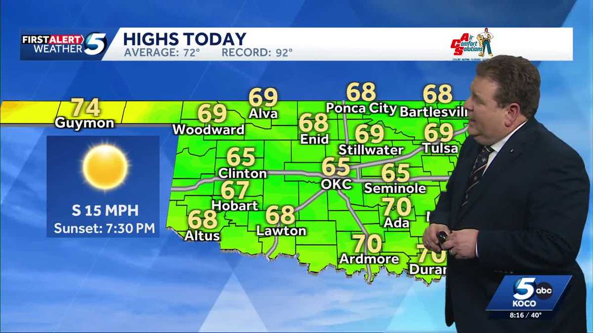 TIMELINE: Cool temperatures across Oklahoma before slight warmup
Oklahoma started Sunday with chilly temperatures in the 30s and 40s, but sunny skies and a light south wind are expected to bring highs of 65 degrees. Oklahoma residents experienced a cold start to Sunday, with…
-
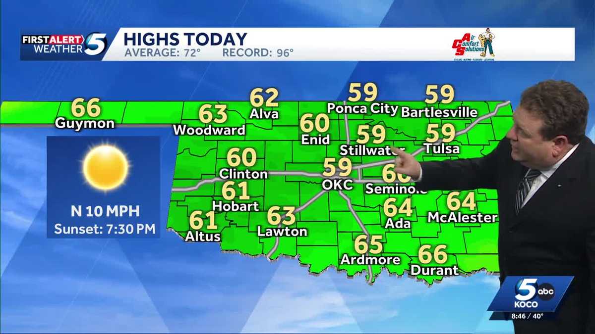 FORECAST: Cold start to weekend in Oklahoma
KOCO 5 Meteorologist Steve Carano shows you the cold start and the high temperatures Oklahoma will see on Saturday. >> Go to the KOCO weather page | Get KOCO on the Go | Subscribe to KOCO 5's YouTube channel | Sign up…
- Wind-Whipped Oklahoma City Friday Sets Stage for Big Fall Warmup
North winds will run 17 to 22 mph Friday, with gusts reaching up to 33 mph, according to the National Weather Service office in Norman. Rain is not expected, so the main outdoor nuisance will be the wind, especially for…
-
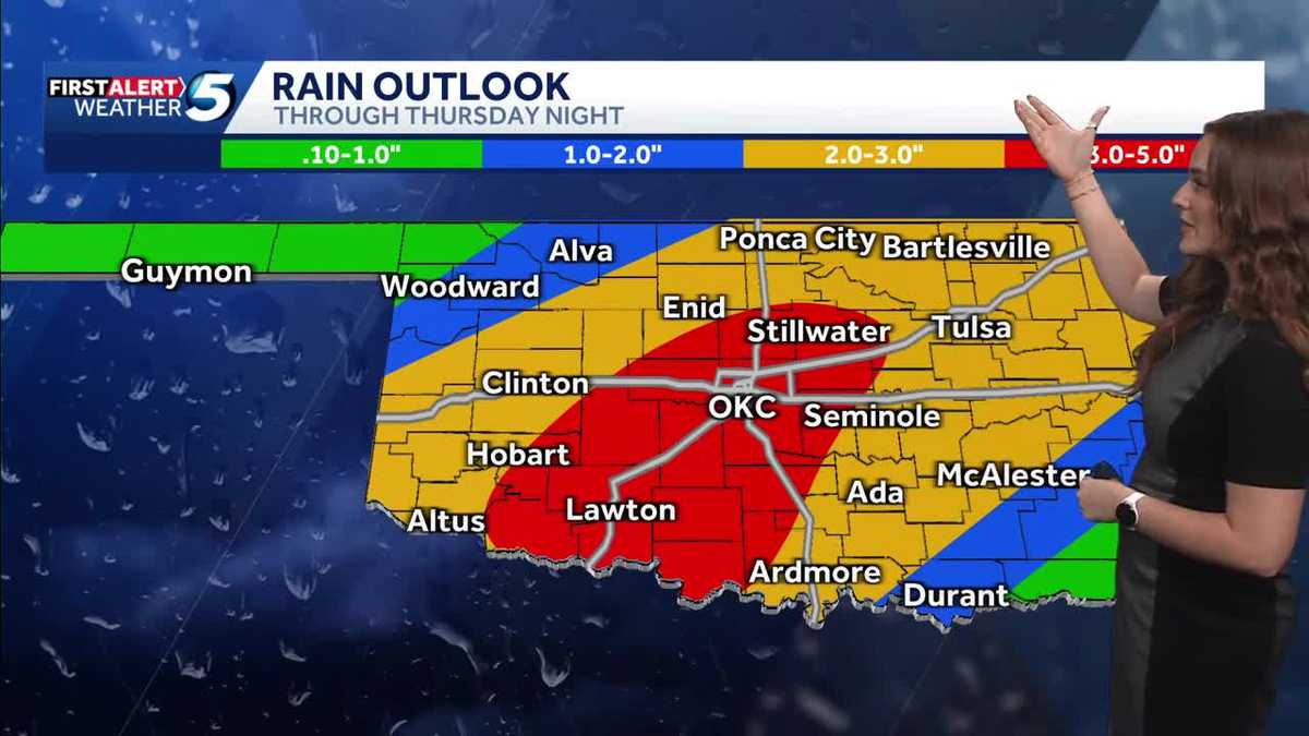 FORECAST: More rain and flooding risk for the rest of Thursday in Oklahoma
Oklahoma has already seen heavy rain and flooding, and we're not done just yet heading into the back half of Thursday. A flood watch remains in effect until 7 p.m. Thursday due to the expected rain. KOCO 5 Meteorologist…
-
 Record rain hits Oklahoma, helping refill Lake Hefner
Oklahoma City got enough rain this week to raise water levels on Lake Hefner by nearly two feet in just two days. By the afternoon of Thursday, Oct. 15, the water level was still rising as rain that fell on central and…
-
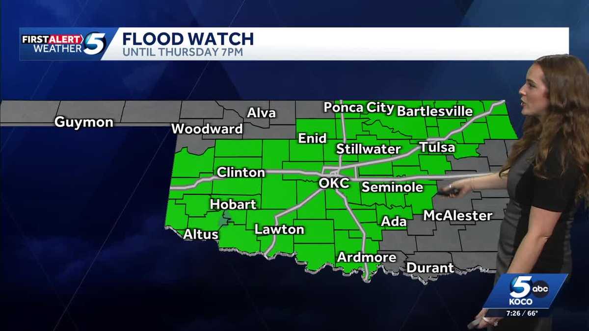 UPDATES: Tracking road condition and flood risk following overnight rain in Oklahoma
Flash flood warnings have been issued Thursday morning after the latest round of overnight rain swept through central Oklahoma. The heavy rain has also brought slick road conditions as Oklahomans start their morning…
-
 Severe Weather Is Possible Through Friday
KOKH Fox 25 provides, news, sports, weather and local event coverage in Oklahoma City and surrounding areas, including McLoud, Shawnee, Tecumseh, Seminole, Wewoka, Maud, Asher, Wanetted, Goldsby, Norman, Blanchard…
-
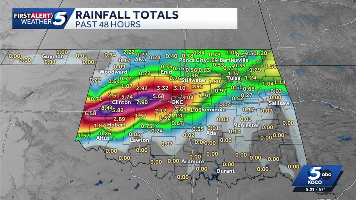 Oklahoma City breaks a record daily rainfall record, but how much rain has fallen?
The heavy rain is here and will last over the next 48 hours, bringing the risk for flooding across Oklahoma Wednesday and Thursday. >> Related Video Above: Heavy rainfall continues amid severe weather and tornado risk…
-
 Ardmore woman makes her debut on the OKC Thunder team
Headline: Flood Watch until THU 1:00 PM CDT Headline: Severe Thunderstorm Watch until WED 11:00 PM CDT Bulletin: SEVERE THUNDERSTORM WATCH 685 REMAINS IN EFFECT UNTIL 1100 PM CDT FOR THE FOLLOWING LOCATIONS OK…
-
 First Alert Weather Day today
News Channel 6 | Wichita Falls, TX WICHITA FALLS, Texas (KAUZ) - Good morning, Texoma! We are once again off to another very warm and very humid start to our day with temperatures mostly in the mid-70s. Radar is also…
Air quality
Acceptable. Unusually sensitive people should consider limiting prolonged outdoor exertion.
Forecast
- WedModerate (60)
- ThuModerate (80)
- FriModerate (70)
Oklahoma City, OK reporting area · 1 hr ago. Data from AirNow (EPA and its state, local and tribal partners); preliminary and subject to change.
Sun & moon
Almanac
MonthlyOklahoma City Wiley Post Ap, records since 1996. Normals 1991–2020. Data from NOAA's Regional Climate Centers (ACIS).
Nearby
- Oklahoma City 41 km
- Norman 58 km
- Edmond 45 km
- Moore 48 km
- Midwest City 52 km
- Yukon 18 km
- Del City 48 km
- Mustang 27 km
- Bethany 30 km
- Chickasha 54 km
- Warr Acres 31 km
- Newcastle 46 km
Forecasters' discussion
From the National Weather Service office in OUN, issued 5 hrs ago
Key Messages
Updated at 1105 AM CDT Wed Oct 21 2026
- Warming trend continues this week.
- Low chance for showers/sprinkles through Wednesday morning.
- Higher rain chances return this weekend and continue into early next week.
Near Term
(Through Wednesday) Issued at 139 AM CDT Wed Oct 21 2026
Echoes continue to show up on the radar with much of this activity not reaching the ground through the evening hours due to dry low levels. Occasionally, some of the echoes had become robust enough for sprinkles or rain showers to occur in a few locations and every once in a while an echo would produce a lightning strike. Over the last couple of hours the rain showers had become a bit more common.
Low chances for sprinkles/rain showers are expected to continue through the rest of the night into Wednesday morning, mainly across portions of northern and central OK, as a shortwave moves across the central Plains. The activity will still have to overcome the dry low levels which will hinder some of it from reaching the ground. However, additional rain showers and/or sprinkles are possible. With about 100-300 J/kg of elevated CAPE, a few more lightning strikes are not completely out of the question overnight into Wednesday morning as well. Any chances for sprinkles/rain showers are expected to end later Wednesday morning as the shortwave shifts east of the area and the upper ridge builds over the southern/central High Plains.
With the upper ridge building over the region and southerly sfc winds, warmer temperatures are expected this afternoon with highs in the mid 70s to low 80s. The forecast temperatures are 5-10 degrees above normal for this time of year and similar to or a few degrees warmer than yesterday's (Tuesday) highs. Lows Wednesday night are expected to be above normal as well with temperatures dropping into the mid to upper 50s.
Short Term
(Wednesday night through Friday night) Issued at 139 AM CDT Wed Oct 21 2026
The upper ridge is forecast to remain over the region Thursday and Friday although the axis is expected to gradually shift east across the region during that time as an upper trough also moves across the western U.S. With the ridge over the region, warm and dry conditions are expected to continue across the area. Afternoon highs are expected to warm into the mid/upper 70s and low 80s both Thursday and Friday with lows in the mid to upper 50s. Southerly winds at the sfc could be a bit more breezy Friday, especially in NW parts of the fa as sfc trough develops in the lee of the Rockies and pressure gradient begins to increase.
Long Term
(Saturday through Tuesday) Issued at 139 AM CDT Wed Oct 21 2026
The previously mentioned upper trough is expected to continue to approach the area over the weekend and move into the southern Plains early next week. Models also show a cold front moving across the area early next week. This system will bring a chance for showers and maybe some storms starting this weekend and continuing into next week with the earliest and highest chances over western portions of the fa. The amount of moisture with this system does not look as abundant so rainfall amounts are not expected to be as high as the last couple of rain events the fa has experienced but some locations in western parts of the area may see rainfall totals of 1-1.5 inches.
Temperatures will remain warm and above average through the weekend with highs in the 70s to low 80s. Temperatures are then expected to cool early next week due to the cold front, clouds, and rain with highs in the 60s and some 70s.
Forecasts, observations and alerts in the United States come from the National Weather Service (NOAA); radar from NOAA's Multi-Radar Multi-Sensor system; satellite imagery from NASA's Global Imagery Browse Services (GIBS) and NOAA's GOES satellites; the map from the U.S. Geological Survey's National Map; air quality from AirNow (EPA and its partners); hurricane information from the National Hurricane Center; climate normals and records from NOAA's Regional Climate Centers (ACIS). Forecasts outside the United States and the UV index: MET Norway (CC BY 4.0); observations outside the U.S.: airport reports via NOAA's Aviation Weather Center. Place names: GeoNames (CC BY 4.0). Data are copied on a schedule and may lag the sources; for warnings that affect your safety, follow your local National Weather Service office and emergency officials. Weather news is drawn from the 4Search index and reflects what the press published. Terms of use.