Install
Denham Springs, LA 70726 Weather
Current conditions
Forecast for this hour (no station report in the last two hours)
Forecast
10-day-
Today
Sunny. High near 85, with temperatures falling to around 83 in the afternoon. Northeast wind around 5 mph.
-
Tonight
Clear. Low around 53, with temperatures rising to around 55 overnight. Northeast wind 0 to 5 mph.
-
Friday
Sunny. High near 84, with temperatures falling to around 82 in the afternoon. Northeast wind around 5 mph.
National Weather Service forecast updated 13 hrs ago.
Hourly
Hourly forecast- Now84°
- 4 PM85°
- 5 PM83°
- 6 PM80°
- 7 PM76°
- 8 PM68°
- 9 PM66°
- 10 PM64°
- 11 PM62°
- Fri12 AM60°
- 1 AM59°
- 2 AM57°
- 3 AM55°
- 4 AM55°
- 5 AM55°
- 6 AM53°
- 7 AM53°
- 8 AM54°
- 9 AM61°
- 10 AM70°
- 11 AM75°
- 12 PM79°
- 1 PM82°
- 2 PM83°
10-day forecast
Details- TodayOct 22Sunny53°85°
- FriOct 23Sunny52°84°
- SatOct 24Sunny51°82°
- SunOct 25Sunny53°82°
- MonOct 26Mostly Sunny54°82°
- TueOct 27Mostly Sunny54°83°
- WedOct 28Sunny53°84°
- ThuOct 29Cloudy56°81°
- FriOct 30Cloudy59°78°
- SatOct 31Cloudy54°71°
Days after the National Weather Service's seven are MET Norway's outlook, a computer model with no forecaster's review.
Radar
Full mapWeather news near Denham Springs
More weather news-
 Dry, sunny stretch locked in across Southeast Louisiana
NEW ORLEANS (WVUE) - Dry air and sunshine are locked in for the New Orleans area this afternoon. A light breeze will keep conditions comfortable across the metro, and no rain is on the way. Highs will warm back into the…
-
 Fall temperatures fade as heat builds back
BATON ROUGE, La. (WAFB) - After a nice, cooler weekend, temperatures will gradually warm back up this week as dry weather continues. After a chilly morning start in the upper 40s, temperatures will nicely warm into the…
-

-
 Fall temperatures return with elevated fire danger
BATON ROUGE, La. (WAFB) - A strong cold front has brought cooler temperatures and elevated fire weather concerns to south Louisiana. Windy conditions will continue behind the front, but winds should begin to ease by…
-
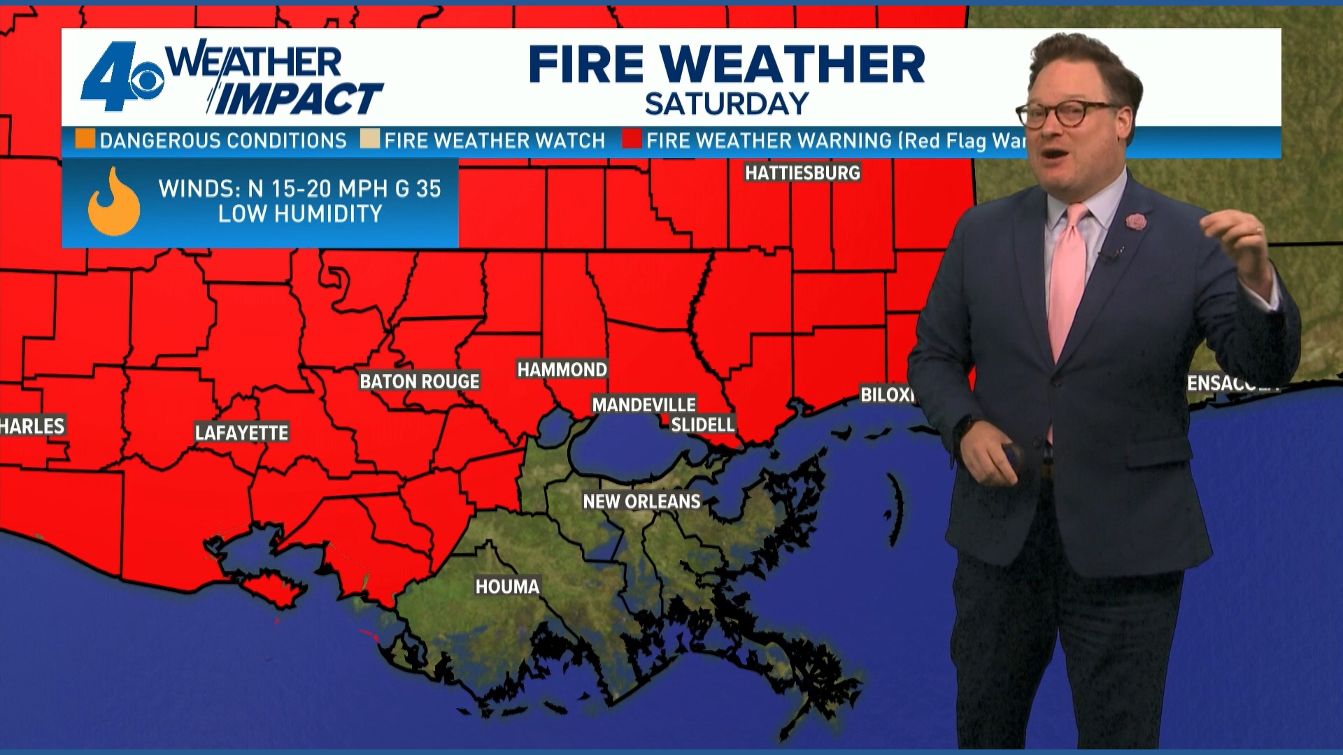 Red Flag Warning issued for parts of southeast Louisiana, southern Mississippi ahead of dry conditions
The National Weather Service has issued a Red Flag Warning for parts of southeast Louisiana and all of southern Mississippi on Friday. The warning is in effect from 9 a.m. until 8 p.m. on Saturday as forecasters say a…
-
 Cold snap, dry and windy weather bringing a fire watch to Baton Rouge this weekend
Sunflowers battle a breeze in a display field at the Corn Maze at Burden on Saturday, October 4, 2025 in Baton Rouge, Louisiana. The new East Baton Rouge Parish flag flaps in the wind as EBR Buildings and Grounds…
-
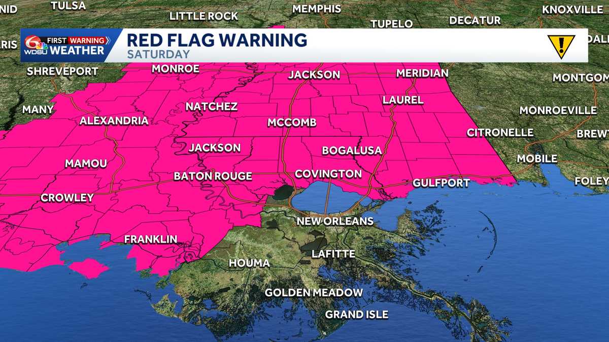 Impact Day Friday & Saturday: Red Flag Warning & Wind Advisory stretches across Southeast Louisiana
Red Flag Warning: Southeast Louisiana and Southern Mississippi Saturday The National Weather Service in New Orleans has issued a Red Flag Warning for all of southern Mississippi and parts of southeast Louisiana on…
-
 Strong cold front will change the game/season
BATON ROUGE, La. (WAFB) - A strong cold front will move through our region later today, moving much drier/windier conditions in, along with much cooler temps. HERE COMES THE COLD FRONT The timing of the frontal passage…
-
 Trudy strengthens to a hurricane as system nears Mexico’s coast with major storm expected
WAFB Trudy was located about 300 miles (480 kilometers) southwest of Acapulco, Mexico, with maximum sustained winds of 75 mph (120 kph), according to the U.S. National Hurricane Center in Miami. The hurricane was moving…
-
 Weekend cold front will bring lows in the 50s across south Louisiana. See your city's forecast.
Get your sweaters out. This weekend will finally bring some weather-related relief to residents across southeast Louisiana as a cold front pushes through the region and drops lows into the 50s, forecasters with the…
Air quality
Acceptable. Unusually sensitive people should consider limiting prolonged outdoor exertion.
Forecast
- ThuModerate (93)
- FriModerate (77)
- SatModerate (71)
Baton Rouge Area, LA reporting area · 1 hr ago. Data from AirNow (EPA and its state, local and tribal partners); preliminary and subject to change.
Sun & moon
Almanac
MonthlyBaton Rouge Area, records since 1892. Normals 1991–2020. Data from NOAA's Regional Climate Centers (ACIS).
Nearby
- Baton Rouge 27 km
- Laplace 59 km
- Central 17 km
- Prairieville 19 km
- Hammond 42 km
- Shenandoah 11 km
- Zachary 32 km
- Baker 29 km
- Gonzales 25 km
- Gardere 26 km
- Merrydale 20 km
- Reserve 56 km
Forecasters' discussion
From the National Weather Service office in LIX, issued 3 hrs ago
Key Messages
Updated at 1209 PM CDT Thu Oct 22 2026
- Elevated fire weather conditions will remain in place through the work week and likely increase this weekend. The rapid spread of wild fires is not substantial through Friday given the weak wind, however the current and worsening drought conditions and abundant fuels do not alleviate the fire weather concerns. Heading into the weekend winds are expected to increase the Fire Weather headlines may be needed. A Fire Danger Statement has been issued (SPSLIX) to cover this.
Short Term
(Now through Sunday night) Issued at 1209 PM CDT Thu Oct 22 2026
The upper air synoptic set has the central US under a well defined Omega block with Louisiana under the subsidence of a high pressure system. At the surface, high pressure is located to the northeast around the Tennessee Valley. All this is to say that more dry weather is expected through the weekend with rain chances basically at zero. Looking at the ULM Mesonet, 2-inch soil moisture across the region is below 10% with 30-day rainfall totals around 50% of expected totals. Besides the impact on agriculture, fire weather partners are feeling the strain as fuels are dry and dormant across the entire region. The main limiting factor for fire weather concerns is a lack of wind, with the high pressure causing light northeast winds. As we move into the second half of the weekend, a broad low pressure system in the Caribbean will advect northward, increasing our pressure gradient and causing winds to increase as well. Most of the stronger winds will be offshore, but NBM90 does show gusts of 20 mph farther inland. With how sensitive fire danger concerns are, the trends in wind speeds will need to be watched closely.
Temperatures will remain a few degrees above the seasonal norms as highs will be in the low to mid 80s with lows around 50 north of I-10 and mid 50s south of the highway.
Long Term
(Monday through Wednesday night) Issued at 1209 PM CDT Thu Oct 22 2026
As we move into the next workweek, our synoptic pattern does change as the subtropical low off the eastern seaboard is pulled out to sea and the Omega block begins to break down. As the eastern low moves farther into the Atlantic, a cutoff low will dig into the Southwest. Unfortunately for those looking forward to some or any rain, you will have to wait a bit longer, as a high- pressure system almost immediately builds over the central Gulf Coast. Ensemble tables prog this high as substantial for this time of year, with 500 mb heights above the 90th percentile. The ridge will begin to weaken on Tuesday as low pressure moves across the Great Plains and drags a weak cold front across our region. Unfortunately, this is looking like another dry cold front, as rain chances remain below 10%. Taking a closer look, PWAT values with the frontal passage will be around 1 inch. Ensemble forecast soundings during the expected passage show a dry atmospheric profile, further pointing to little rain potential. With the passage of this front, more dry continental air will advect into the region, which will keep our minRH values near or below 30%. Behind the front, enhanced fire weather conditions will be possible.
Temperatures through next week will be seasonably warm with high remaining in the low to mid 80s and lows around 50.
Aviation
(18Z TAFS) Issued at 1209 PM CDT Thu Oct 22 2026
VFR conditions are expected to continue for the rest of the TAF period. Surface winds will remain light and from the north- northeast below 10 knots.
Forecasts, observations and alerts in the United States come from the National Weather Service (NOAA); radar from NOAA's Multi-Radar Multi-Sensor system; satellite imagery from NASA's Global Imagery Browse Services (GIBS) and NOAA's GOES satellites; the map from the U.S. Geological Survey's National Map; air quality from AirNow (EPA and its partners); hurricane information from the National Hurricane Center; climate normals and records from NOAA's Regional Climate Centers (ACIS). Forecasts outside the United States and the UV index: MET Norway (CC BY 4.0); observations outside the U.S.: airport reports via NOAA's Aviation Weather Center. Place names: GeoNames (CC BY 4.0). Data are copied on a schedule and may lag the sources; for warnings that affect your safety, follow your local National Weather Service office and emergency officials. Weather news is drawn from the 4Search index and reflects what the press published. Terms of use.