Install
Galena, KS 66739 Weather
Current conditions
Observed at Joplin, Joplin Regional Airport · 50 min ago
Forecast
10-day-
This Afternoon
Mostly sunny, with a high near 74. Southwest wind 1 to 5 mph.
-
Tonight
Clear, with a low around 51. East wind around 1 mph.
-
Thursday
Sunny, with a high near 78. Southeast wind around 2 mph.
National Weather Service forecast updated 39 min ago.
Hourly
Hourly forecast- Now72°
- 2 PM73°
- 3 PM73°
- 4 PM74°
- 5 PM73°
- 6 PM72°
- 7 PM68°
- 8 PM61°
- 9 PM59°
- 10 PM57°
- 11 PM57°
- Thu12 AM56°
- 1 AM55°
- 2 AM54°
- 3 AM53°
- 4 AM52°
- 5 AM52°
- 6 AM51°
- 7 AM51°
- 8 AM51°
- 9 AM56°
- 10 AM64°
- 11 AM69°
- 12 PM73°
10-day forecast
Details- TodayOct 21Mostly Sunny51°74°
- ThuOct 22Sunny54°78°
- FriOct 23Sunny56°78°
- SatOct 24Mostly Sunny55°78°
- SunOct 25Partly Sunny54°76°
- MonOct 26Partly Sunny52°73°
- TueOct 27Partly Sunny51°68°
- WedOct 28Sunny53°79°
- ThuOct 29Rain0.28 in47°69°
- FriOct 30Partly cloudy40°62°
Days after the National Weather Service's seven are MET Norway's outlook, a computer model with no forecaster's review.
Radar
Full mapWeather news near Galena
More weather news-
 Dangerous Freeze Warnings Issued for Iowa, Wisconsin, Minnesota and Illinois as Temperatures Drop
Freeze Warnings take effect early Saturday across much of Iowa, Wisconsin, southeast and central Minnesota and northern Illinois, with lows as cold as 26 degrees expected. Seven National Weather Service offices issued…
-
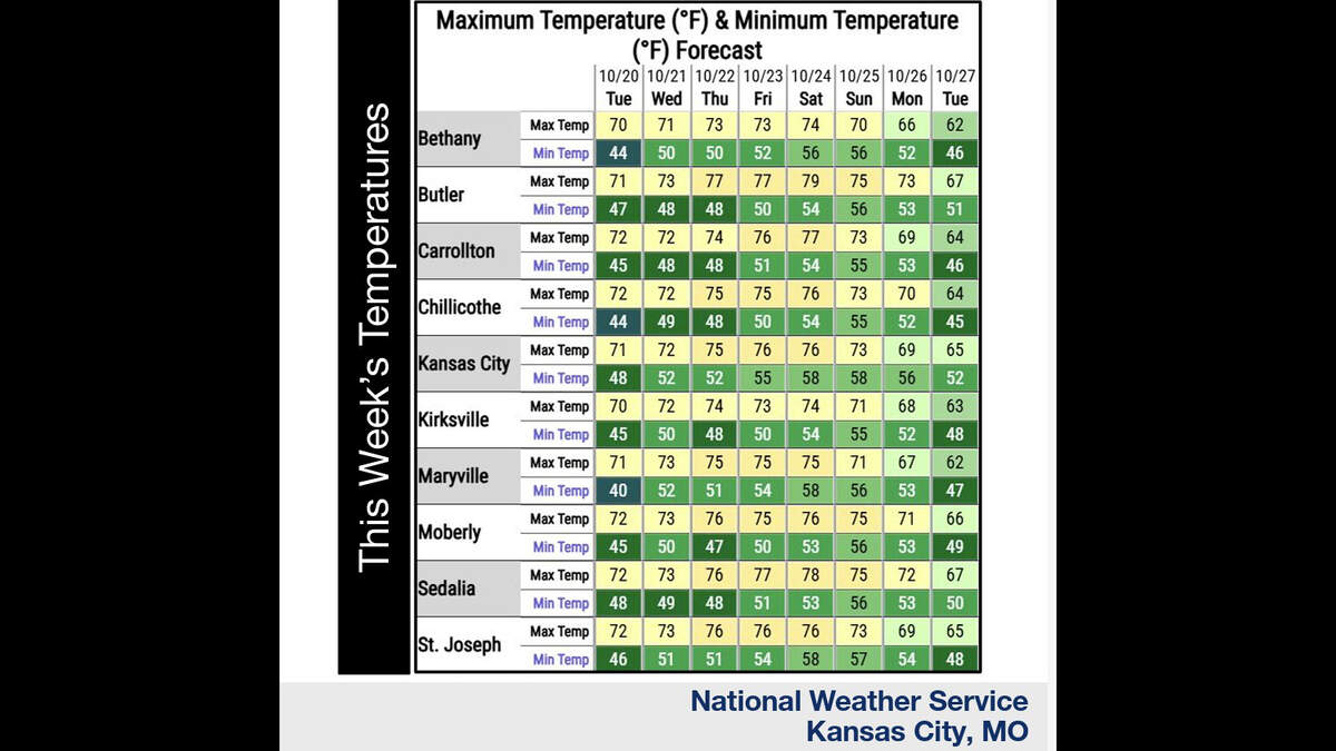 Kansas City’s warm, mostly dry stretch lasts through Sunday. What comes next?
Fall temperatures are climbing in Kansas City again Tuesday, with warmer-than-normal weather expected through the weekend, the National Weather Service says. Skies will become increasingly cloudy as metro temperatures…
-
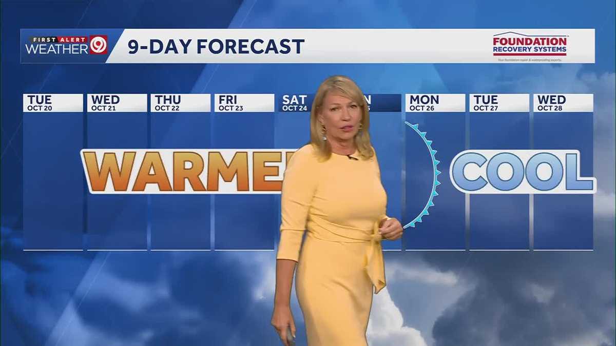 Warming trend continues for Kansas City
You may encounter a stray sprinkle but otherwise, we continue a warming trend KMBC Tuesday: mix sun and clouds. High 70, wind: S 5-10 mph Wed: Partly cloudy 51/73 Wind: S 5 mph Thu: Mostly sunny: 52/75 wind: SSE 5-10 mph
-
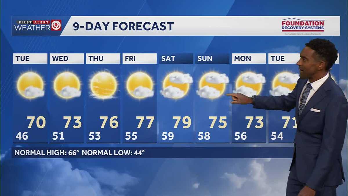 After a cool few days, warmer temperatures return starting Tuesday in Kansas City
After some cool and comfortable fall temperatures, things start to warm up once again for the rest of the week! Expect sunshine and dry conditions for the next few days. Tuesday will be partly cloudy with highs in the…
-
 KSHB 41 Weather | Sunshine and highs in the 60s Sunday in Kansas City
KSHB 41 Weather | Sunshine and highs in the 60s Sunday KSHB 41 Kansas City KSHB 41 Weather | Sunshine and highs in the 60s Sunday in Kansas City KANSAS CITY, Mo. — Hosting an event or gathering? Send your weather…
-
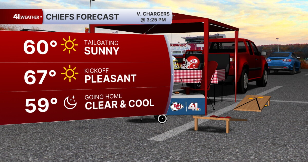 KSHB 41 Weather Blog | Pleasant stretch of weather in store for Kansas City
KANSAS CITY, Mo. — Pleasant, fall weather is sticking around for the next few days, before highs reach near 80° by the end of the week. Sunday is going to be the ideal fall day. Chilly in the morning, then reaching the…
- Kansas City Weather Forecast: Freeze Watch Before 80-Degree Warmup
Kansas City was expected to wake to temperatures in the lower 40s Friday morning, with skies possibly clear at first and stratus potentially moving through, and a sharp north wind making the October air feel colder than…
- Southwest Kansas Forecast | KAKE First Alert Weather
KAKE (1 of 5) : Freeze Warning from SAT 1:00 AM CDT until SAT 10:00 AM CDT (2 of 5) : Freeze Warning from SAT 12:00 AM MDT until SAT 9:00 AM MDT (3 of 5) : Freeze Warning from SAT 12:00 AM MDT until SAT 8:00 AM MDT (4…
-
 Severe Weather Alert: Heavy Rain and Flooding Expected Across Kansas
Home » Trending » Severe Weather Alert: Heavy Rain and Flooding Expected Across Kansas WICHITA, Kan. – Residents in south central and southeast Kansas are bracing for an ongoing weather pattern characterized by…
-
 Is it time to bring houseplants indoors for winter? What Kansas experts recommend
The first freeze of the season could hit much of Kansas this weekend. This means — if you haven’t already — it is time to bring any sensitive houseplants inside for the winter. Most houseplants can experience cold…
Air quality
Acceptable. Unusually sensitive people should consider limiting prolonged outdoor exertion.
Miami, OK reporting area · 1 hr ago. Data from AirNow (EPA and its state, local and tribal partners); preliminary and subject to change.
Sun & moon
Almanac
MonthlyColumbus, records since 1892. Normals 1991–2020. Data from NOAA's Regional Climate Centers (ACIS).
Nearby
Forecasters' discussion
From the National Weather Service office in SGF, issued 1 hr ago
Key Messages
- Above normal temperatures with a warming trend into late week. Highs in the middle to upper 70s, near 80 are likely into the weekend. Mostly dry weather expected to persist.
- Medium to high confidence in above normal temperatures to persist through the end of October.
Short Term
Issued at 101 AM CDT Wed Oct 21 2026
Ridging will continue to support dry and warmer than normal conditions today and tonight. A few sprinkles are possible as weak shortwave energy moves through, but as we have already seen tonight, dry low to mid level air is preventing anything measurable from reaching the surface.
Look for highs in the mid 70s today and lows in the mid 40s to low 50s.
Long Term
Issued at 101 AM CDT Wed Oct 21 2026
High pressure will continue to build through the weekend into early next week according to ensemble data, with high confidence in well above normal conditions (highs in the 70s to around 80). No precip is expected in this time frame.
Toward the middle of next week around 10-15% of ensembles are showing some rain over the area as a trough passes through the area. There remains quite a bit of uncertainty with all forecast parameters due to model spread. For example, NBM 25-75th percentile MaxT spread increases to around 15 degrees on Tuesday and Wednesday next week.
Aviation
Issued at 1208 PM CDT Wed Oct 21 2026
VFR conditions will prevail through the entirety of the TAF period. Southwesterly winds will mostly be light and variable through the remainder of the period, with scattered mid-level clouds observed on satellite. Some light sprinkles have occurred this morning, however no impacts are expected if these can reach the ground.
Forecasts, observations and alerts in the United States come from the National Weather Service (NOAA); radar from NOAA's Multi-Radar Multi-Sensor system; satellite imagery from NASA's Global Imagery Browse Services (GIBS) and NOAA's GOES satellites; the map from the U.S. Geological Survey's National Map; air quality from AirNow (EPA and its partners); hurricane information from the National Hurricane Center; climate normals and records from NOAA's Regional Climate Centers (ACIS). Forecasts outside the United States and the UV index: MET Norway (CC BY 4.0); observations outside the U.S.: airport reports via NOAA's Aviation Weather Center. Place names: GeoNames (CC BY 4.0). Data are copied on a schedule and may lag the sources; for warnings that affect your safety, follow your local National Weather Service office and emergency officials. Weather news is drawn from the 4Search index and reflects what the press published. Terms of use.