Install
Troy, MO 63379 Weather
Current conditions
Observed at Washington Regional Airport · 1 hr ago
Forecast
10-day-
Tonight
Mostly clear, with a low around 49. Southeast wind around 3 mph.
-
Saturday
Mostly sunny, with a high near 76. Southeast wind 1 to 5 mph.
-
Saturday Night
Partly cloudy, with a low around 50. Southeast wind around 3 mph.
National Weather Service forecast updated 4 hrs ago.
Hourly
Hourly forecast- Now72°
- 7 PM67°
- 8 PM61°
- 9 PM59°
- 10 PM58°
- 11 PM57°
- Sat12 AM55°
- 1 AM55°
- 2 AM54°
- 3 AM52°
- 4 AM51°
- 5 AM50°
- 6 AM50°
- 7 AM49°
- 8 AM50°
- 9 AM55°
- 10 AM62°
- 11 AM66°
- 12 PM71°
- 1 PM74°
- 2 PM76°
- 3 PM76°
- 4 PM76°
- 5 PM75°
10-day forecast
Details- TodayOct 23Sunny49°77°
- SatOct 24Mostly Sunny50°76°
- SunOct 25Partly Sunny52°78°
- MonOct 26Partly Sunny51°78°
- TueOct 27Partly Sunny51°75°
- WedOct 28Mostly Sunny53°77°
- ThuOct 29Mostly Sunny11%48°75°
- FriOct 30Partly cloudy42°64°
- SatOct 31Cloudy51°69°
- SunNov 1Mostly sunny57°74°
Days after the National Weather Service's seven are MET Norway's outlook, a computer model with no forecaster's review.
Radar
Full mapWeather news in Missouri
More weather news-
 Thursday Evening Forecast: Mid-Missouri Weather Update
KRCG has released its Thursday evening forecast for the mid-Missouri viewing area covering October 22, 2026. The update details expected temperatures, cloud cover and precipitation chances for the coming hours and…
-
 Freeze alerts stretch from Missouri to New York for Sunday
Temps drop for millions across the Central Plains, Midwest, Northeast The first real taste of fall is settling in for millions, including a few first frosts and freezes of the season for some in the Midwest and East…
-
 Saturday Evening Forecast: What Mid-Missouri Can Expect Next
Saturday evening's forecast from KRCG lays out what Mid-Missouri can expect as the weekend winds down. Forecasters break down temperatures, cloud cover,... - Saturday evening's forecast from KRCG lays out what…
-
 Missouri farmers wait as rains stall fieldwork
A farmer in west-central Missouri says the recent rains are delaying early planting, and while the moisture is needed, it’s heavier than expected. “So far, we’ve had a little more than four inches since the start of the…
-
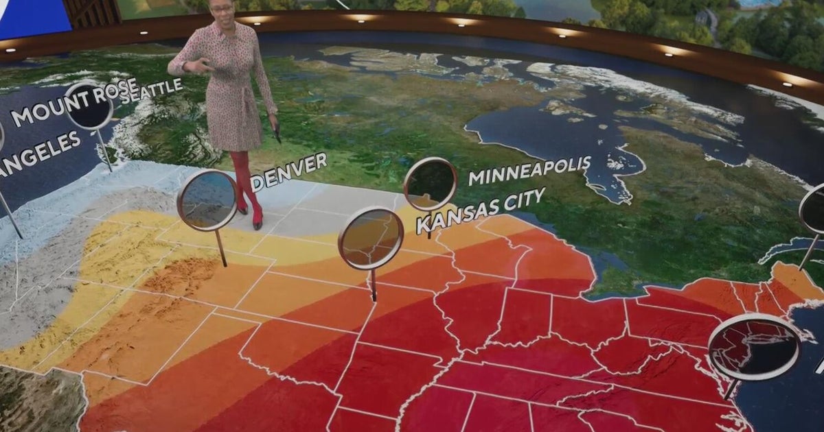 Fall weather in full force across Georgia this weekend
CBS News Atlanta is a local news organization that is part of CBS News and Stations. Also referred to as WUPA and channel 69, CBS News Atlanta offers local breaking news, weather coverage and investigative reporting…
-
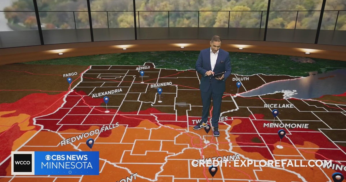 Minnesota weather: one last warm day, then a damp, cool change | Oct. 23, 2026
CBS News Minnesota is a local news organization that is part of CBS News and Stations. Also referred to as WCCO-TV and channel 4, CBS News Minnesota offers local breaking news, weather coverage and investigative…
-
 Trains cancelled and roads warnings as Scotland prepares for Storm Boelo
Some train services will be cancelled during Storm Boelo Train services have been cancelled and police have warned against unnecessary road journeys as Scotland prepares for the arrival of Storm Boelo. Heavy rain and…
-
 Vance could be a major Category 3 hurricane Friday as it nears Mexico
Vance has become a hurricane off the coast of Mexico MIAMI — Vance became a hurricane Friday and the National Hurricane Center said it would strengthen rapidly as it nears Mexico’s Pacific Coast. Vance was a Category 1…
-
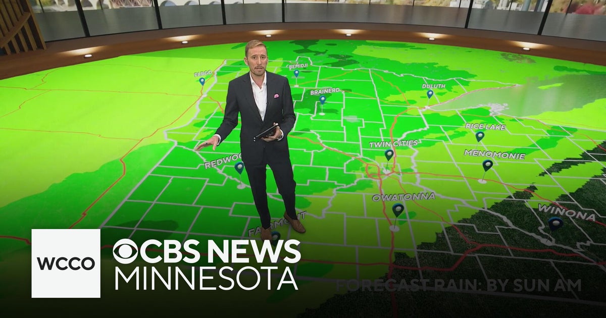 Minnesota's weather is about to pivot back to fall | Oct. 23, 2026
CBS News Minnesota is a local news organization that is part of CBS News and Stations. Also referred to as WCCO-TV and channel 4, CBS News Minnesota offers local breaking news, weather coverage and investigative…
-
 Amber wind warning issued as storm sweeps in
An amber warning for wind has been issued for parts of Cumbria and the north-east of England as the region braces itself for Storm Boelo. High winds are expected to batter north and west Cumbria, including Carlisle…
Air quality
Acceptable. Unusually sensitive people should consider limiting prolonged outdoor exertion.
Saint Louis, MO reporting area · 1 hr ago. Data from AirNow (EPA and its state, local and tribal partners); preliminary and subject to change.
Sun & moon
Nearby
- O'Fallon 31 km
- Saint Charles 48 km
- Saint Peters 37 km
- Chesterfield 50 km
- Wildwood 53 km
- Wentzville 23 km
- Ballwin 58 km
- Maryland Heights 56 km
- Hazelwood 57 km
- Manchester 60 km
- Lake Saint Louis 27 km
- Washington 49 km
Forecasters' discussion
From the National Weather Service office in LSX, issued 4 hrs ago
Key Messages
- High pressure remains in place allowing for our dry and warm weather continues well into next week.
Short Term
Issued at 148 PM CDT Fri Oct 23 2026
An upper-level ridge will remain positioned over the Mid-Mississippi River Valley through Sunday, stagnated by the configuration of the wave pattern into an Omega Block. This pattern will result in very little change in sensible weather from day to day with seasonably warm temperatures and dry conditions. The only change through the weekend will be the very slow departure of a surface high pressure center and upper-level clouds of varying thickness streaming overhead by Saturday through Sunday. The most pronounced nocturnal radiational cooling during the period will be across southeastern MO/southwestern IL and/or river valleys with low temperatures in the 40s F and patchy morning fog, mainly low temperatures in the 50s F elsewhere. High temperatures will continue to be in the 70s F, near 80 F on Sunday depending on the thickness of cloud cover.
Long Term
Issued at 148 PM CDT Fri Oct 23 2026
Global model guidance is coming into better agreement on the ejection of an upper-level trough into the Central/Northern Plains and Upper Midwest Monday through Tuesday as the Omega Block breaks down. With this track of the trough, it is increasingly likely that the associated cold front does not reach the CWA, favoring similar, seasonably warm temperatures continuing along with dry conditions.
It is not until late next week now, that there are any signs for our sensible weather to change with varying signals for an upper-level trough to propagate into the north-central CONUS. However, the track and amplitude of the trough is uncertain which will influence its ability to force an associated cold front east/southeastward. If the front reaches the CWA, it would be accompanied by an opportunity for rain and temperatures cooling closer to average late next week. If the front fails to reach the CWA, there would be no clear catalyst for seasonably warm temperatures and dry conditions to end. Ensemble model guidance cluster analysis depicts these scenarios all being valid possible outcomes at this point. Taking all scenarios into consideration, probabilities of measurable rainfall range from 20 to 50 percent Thursday, onward, along with NBM interquartile ranges increasing to between 10 and 20 F.
Aviation
Issued at 1147 AM CDT Fri Oct 23 2026
Aside from another round of fog in area river valleys Saturday morning potentially impacting KSUS and KCPS, dry and VFR flight conditions will prevail. Winds are expected to remain light and either southerly/southeasterly or variable.
Forecasts, observations and alerts in the United States come from the National Weather Service (NOAA); radar from NOAA's Multi-Radar Multi-Sensor system; satellite imagery from NASA's Global Imagery Browse Services (GIBS) and NOAA's GOES satellites; the map from the U.S. Geological Survey's National Map; air quality from AirNow (EPA and its partners); hurricane information from the National Hurricane Center; climate normals and records from NOAA's Regional Climate Centers (ACIS). Forecasts outside the United States and the UV index: MET Norway (CC BY 4.0); observations outside the U.S.: airport reports via NOAA's Aviation Weather Center. Place names: GeoNames (CC BY 4.0). Data are copied on a schedule and may lag the sources; for warnings that affect your safety, follow your local National Weather Service office and emergency officials. Weather news is drawn from the 4Search index and reflects what the press published. Terms of use.