Install
Oregon, IL 61061 Weather
Current conditions
Observed at Rochelle, Rochelle Municipal-Koritz Field Airport · 49 min ago
Forecast
10-day-
Tonight
Mostly clear, with a low around 47. Southeast wind around 0 mph.
-
Friday
Sunny. High near 73, with temperatures falling to around 71 in the afternoon. South southeast wind 0 to 10 mph.
-
Friday Night
Mostly clear, with a low around 47. Southeast wind around 5 mph.
National Weather Service forecast updated 11 hrs ago.
Hourly
Hourly forecast- Now53°
- Fri12 AM52°
- 1 AM51°
- 2 AM50°
- 3 AM50°
- 4 AM49°
- 5 AM48°
- 6 AM48°
- 7 AM47°
- 8 AM49°
- 9 AM54°
- 10 AM60°
- 11 AM65°
- 12 PM69°
- 1 PM72°
- 2 PM73°
- 3 PM73°
- 4 PM73°
- 5 PM71°
- 6 PM67°
- 7 PM62°
- 8 PM59°
- 9 PM57°
- 10 PM56°
10-day forecast
Details- TodayOct 22Sunny47°74°
- FriOct 23Sunny47°73°
- SatOct 24Mostly Sunny50°71°
- SunOct 25Partly Sunny50°74°
- MonOct 26Mostly Cloudy17%46°68°
- TueOct 27Slight Chance Rain Showers21%42°62°
- WedOct 28Slight Chance Rain Showers then Partly Sunny16%44°62°
- ThuOct 29Cloudy0.15 in42°58°
- FriOct 30Partly cloudy34°48°
- SatOct 31Partly cloudy33°59°
Days after the National Weather Service's seven are MET Norway's outlook, a computer model with no forecaster's review.
Radar
Full mapWeather news near Oregon
More weather news-
 Frost this morning, then a warming trend takes over
WAND DECATUR, Ill. (WAND) – Patchy frost is expected this morning with a near area-wide Frost Advisory in effect through 9 a.m., except for Illinois River counties. High pressure is in control today, bringing plenty of…
-
 Frost advisory back in effect for Central Illinois
WAND DECATUR, Ill. (WAND) – Another cool day starts the weekend across Central Illinois with highs Saturday only reaching the upper 50s under plenty of sunny skies. Strong high pressure remains in control keeping skies…
-
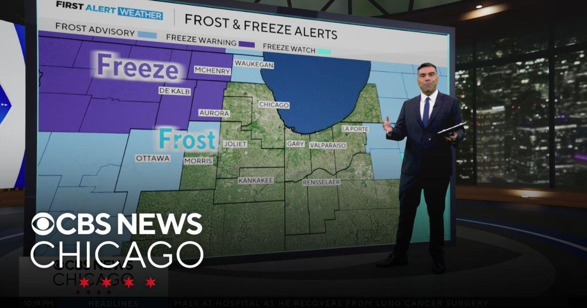 Chicago weather: Freeze and frost possible overnight
CBS News Chicago weather: Freeze and frost possible overnight Eye on Chicago: The Chicago Lighthouse nonprofit marks 120th anniversary "Society of Screams" transforms Chicago Park District space into haunted house Elk…
-
 Warmer winter predicted in Chicago amid “Super” El Niño
As we move deeper into fall, a clearer picture is emerging of what the upcoming winter could look like across Chicago and the Great Lakes. NOAA released its official winter outlook Thursday, October 15, and the forecast…
-
 Chilly Friday with colder air this weekend
KFVS12 (Heartland News) - Our cold front has pushed through the Heartland and is taking the dew points with it! Gusty winds up to 30 MPH can be expected throughout the day, putting a little chill in the air. Highs today…
- A few showers remaining, chilly weekend ahead
Rain for some this evening, windy conditions tomorrow, and a cool weekend. (Heartland News) - Most of the shower storm activity has come to an end for the Heartland although a few stronger storms cannot be ruled out for…
- The US just experienced its warmest September on record: NOAA
Last month was the warmest September on record for the contiguous United States, surpassing the previous record set in 1998, according to a new report from the National Oceanic and Atmospheric Administration (NOAA). The…
- Capitol Fax.com - Your Illinois News Radar » Good morning!
Thursday, Oct 22, 2026 - Posted by Isabel Miller DOMi & JD BECK, Herbie Hancock… - Barton - Thursday, Oct 22, 26 @ 8:53 am: Oh yeah, and you have to monitor comments between it all. Thank you for the lessons…
-
 Strong El Niño likely means a milder winter for northern Illinois, climatologist says
After a record tornado year, northern Illinois may get a break: forecasters favor a warmer-than-average winter as El Niño strengthens in the Pacific. El Niño refers to a warming of the Pacific Ocean’s surface that…
-
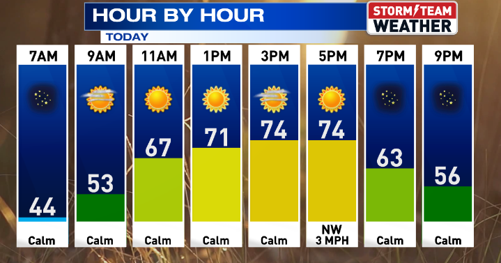 Gorgeous weather continues for Central Illinois
WEDNESDAY: Warming up with sunny skies and calm conditions. High: 75 Low: 47 THURSDAY: Above average with sunny skies. High: 76 Low: 47 FRIDAY: Nice weather continues with sunny skies. High: 76 Low: 46 SATURDAY: Some…
Air quality
Acceptable. Unusually sensitive people should consider limiting prolonged outdoor exertion.
Forecast
- ThuModerate
- FriModerate
- SatModerate
Rockford, IL reporting area · 2 hrs ago. Data from AirNow (EPA and its state, local and tribal partners); preliminary and subject to change.
Sun & moon
Almanac
MonthlyRockford Area, records since 1893. Normals 1991–2020. Data from NOAA's Regional Climate Centers (ACIS).
Nearby
- Rockford 36 km
- DeKalb 50 km
- Belvidere 50 km
- Freeport 39 km
- Loves Park 42 km
- Machesney Park 45 km
- Sycamore 54 km
- Dixon 22 km
- Sterling 38 km
- Roscoe 53 km
- Rochelle 25 km
- Rock Falls 38 km
Forecasters' discussion
From the National Weather Service office in LOT, issued 3 hrs ago
Key Messages
- Locally dense fog may develop late tonight into early Friday morning across portions of far northeast Illinois.
- Dry and unseasonably mild weather will continue through the upcoming weekend, though it will be a bit cooler again near Lake Michigan Friday afternoon.
Update
Issued at 759 PM CDT Thu Oct 22 2026
Only forecast adjustment this evening was to increase fog and cloud coverage across far northeast IL later tonight into early Friday morning, mainly across Lake, eastern McHenry and northern Cook counties.
GOES IR imagery and surface obs continue to depict low stratus and fog spreading slowly south-southwest along the western shore of Lake Michigan into eastern/southeastern WI. Guidance continues to indicate that stratus/fog will eventually develop into far northeast IL later tonight and persist into early morning, with dense fog possible centered especially on Lake county, IL and nearby portions of McHenry and Cook counties. Bumped to areas of fog in these areas, and also increased sky cover there as well as this may develop as a low (100-200 foot) stratus deck. Some question as to how far south fog/stratus will extend, as light low-level winds become more east-southeasterly with time.
Will continue to monitor these trends into the overnight hours, and can't rule out the potential need for a Dense Fog Advisory over some portion of the northern Chicago metro area late. Some patchy, shallow fog will also be possible west and south of the main area of concern mentioned above. Fog/stratus should burn off after sunrise Friday morning.
Ratzer
Discussion
Issued at 123 PM CDT Thu Oct 22 2026
Once again, no significant change to our weather is expected through the weekend. The fog setup tonight is a lower confidence element. The inland extent of modestly enhanced low level moisture behind the lake breeze passage this afternoon may continue to be offset by deep mixing and recent dryness. In addition, forecast soundings, even on guidance that has been simulating fog development over northeast Illinois, indicate 10-15 kt south-southeast winds just above a very shallow moist layer late tonight. These above elements may serve to somewhat counteract more appreciable fog development despite an otherwise favorable setup with ideal radiational cooling conditions.
Our official forecast indicates patchy fog initially in far northeast Illinois earlier in the overnight. Then into the early morning hours, we're advertising the potential for shallow patchy ground fog down into the Chicago metro (away from downtown) and far northwest Indiana. Overall, confidence is on the lower side, also considering the lack of stronger support from statistical (MOS) guidance for areas of dense fog. A relatively higher chance for patchy dense fog anywhere in our CWA still likely is confined to primarily within Lake County IL (roughly in the 3 AM to 8 AM Friday timeframe).
Friday looks to be a near carbon copy of today both in terms of the lake breeze along the Illinois shore and temps. Southeasterly synoptic winds on the back side of the surface high pressure should keep the lake breeze confined to close to the immediate northwest Indiana shoreline.
This weekend, a strong trough is progged to track east across central Canada with a trailing cold front pushing east across the northern Plains toward the upper Mississippi Valley. This should result in more of a southerly then southwesterly gradient, albeit still not that strong, to develop this weekend. While not strong, it will probably be enough to hamper lake breeze development and result in some slightly warmer temps advecting into the area. Temperatures over the weekend could climb into the mid to perhaps locally upper 70s on Sunday given enough sunshine.
As the strong upper ridge and omega block start breaking down, it will probably allow that cold front to move gradually southward across the area Monday as it lays out east-west. There is still spread in guidance on timing of the frontal passage and given it will be running into the weakening upper ridge, it shouldn't have much push or a significant cold punch behind it. It should be enough to start cooling our temps down closer to, but possibly still slightly above, average by Tuesday and Wednesday. At some point early-middle next week, shortwave energy from the western trough could meander east into the Midwest bringing the threat for some rain to the area. Given the tendency for medium range guidance to struggle with breaking down blocking patterns, it isn't surprising that there is considerable spread in how that plays out and when/if it will rain here next week.
Aviation
Issued at 635 PM CDT Thu Oct 22 2026
Key aviation forecast messages:
- Potential for LIFR/VLIFR visibility and ceilings in shallow dense fog early Friday morning.
Surface high pressure ridge was stretched southwest-northeast across IL and LM early this evening. Surface winds at the terminals have been generally light east-northeasterly, but are becoming calm or light/variable with sunset. The surface ridge will drift off to the east into Friday, which will allow for surface winds to become light southeast (or east-southeast near Lake Michigan in the afternoon).
The only forecast concern through the period focuses on the potential for LIFR/VLIFR conditions early Friday morning in shallow dense fog and stratus, mainly across extreme northeast IL. Model guidance has been fairly consistent in depicting higher low-level relative humidity air spreading south-southwest down the western shore of Lake Michigan, and current observations and GOES IR satellite imagery indicate VLIFR conditions have spread as far south as KMKE as of 23Z. Guidance generally develops this into Lake County IL and far northern Cook counties late tonight into Friday AM, with a sharp southern gradient across the Chicago metro area. Airports north of KORD (KUGN, KPWK) appear the have the greatest threat for a period of VLIFR, with decreasing potential depicted south to the south and west. Of our TAF sites, KORD appears to be the most at risk, though drier air is in place across the core of the Chicago metro (indicated by dew point temps in the upper 40s as opposed to mid-50s from KUGN north) which lowers confidence in just how far south VLIFR/LIFR fog/stratus will develop.
Have included an IFR visibility (and FEW002 cloud bases) for KORD at this time, with higher conditions forecast for the sites to the west/south of there. Will need to monitor trends this evening into the overnight hours to see if KORD or other sites may develop a higher risk of LIFR/VLIFR. Fog/stratus, while dense, is expected to be fairly shallow per forecast soundings and should erode within a few hours after sunrise Friday (though likely more slowly north of KORD into WI).
Forecasts, observations and alerts in the United States come from the National Weather Service (NOAA); radar from NOAA's Multi-Radar Multi-Sensor system; satellite imagery from NASA's Global Imagery Browse Services (GIBS) and NOAA's GOES satellites; the map from the U.S. Geological Survey's National Map; air quality from AirNow (EPA and its partners); hurricane information from the National Hurricane Center; climate normals and records from NOAA's Regional Climate Centers (ACIS). Forecasts outside the United States and the UV index: MET Norway (CC BY 4.0); observations outside the U.S.: airport reports via NOAA's Aviation Weather Center. Place names: GeoNames (CC BY 4.0). Data are copied on a schedule and may lag the sources; for warnings that affect your safety, follow your local National Weather Service office and emergency officials. Weather news is drawn from the 4Search index and reflects what the press published. Terms of use.