Install
Belgrade, MT 59714 Weather
Current conditions
Forecast for this hour (no station report in the last two hours)
Forecast
10-day-
Today
Sunny, with a high near 72. Southeast wind around 2 mph.
-
Tonight
Partly cloudy. Low around 41, with temperatures rising to around 44 overnight. South southeast wind 1 to 7 mph.
-
Friday
Rain. Cloudy. High near 54, with temperatures falling to around 44 in the afternoon. Southwest wind 1 to 17 mph, with gusts as high as 30 mph. Chance of precipitation is 100%. New rainfall amounts between a quarter and half of an inch possible.
National Weather Service forecast updated 2 hrs ago.
Hourly
Hourly forecast- Now61°
- 1 PM65°
- 2 PM68°
- 3 PM70°
- 4 PM71°
- 5 PM70°
- 6 PM67°
- 7 PM64°
- 8 PM57°
- 9 PM55°
- 10 PM53°
- 11 PM51°
- Fri12 AM50°
- 1 AM50°
- 2 AM48°
- 3 AM46°12%
- 4 AM46°
- 5 AM44°12%
- 6 AM49°27%
- 7 AM49°48%
- 8 AM50°37%
- 9 AM51°24%
- 10 AM52°51%
- 11 AM52°57%
10-day forecast
Details- TodayOct 22Sunny12%41°72°
- FriOct 23Rain98%23°54°
- SatOct 24Sunny21°44°
- SunOct 25Sunny22°48°
- MonOct 26Mostly Sunny12%23°50°
- TueOct 27Chance Rain And Snow31%24°50°
- WedOct 28Slight Chance Rain And Snow then Mostly Sunny15%24°47°
- ThuOct 29Sunny21°40°
- FriOct 30Partly cloudy31°47°
- SatOct 31Mostly sunny32°47°
Days after the National Weather Service's seven are MET Norway's outlook, a computer model with no forecaster's review.
Radar
Full mapWeather news in Montana
More weather news-
 NOAA’s Latest Drought Forecast Isn’t Great News for Western Montana
We've been talking a lot lately about El Niño and what it could mean for Montana's winter. We've looked at forecasts from NOAA, the Old Farmer's Almanac, and other sources, with plenty of discussion about what kind of…
-
 Pleasant fall weather conditions across Montana turn cold and wet as we head into the weekend
A storm system is taking shape and may bring significant precipitation, gusty to locally strong winds, and mountain/foothills snowfall from Thursday night through Saturday morning. MONTANA - Be sure to enjoy the…
-
 Abnormally warm air settles into Montana before big cooldown this weekend
Montana is enjoying some unseasonably warm weather this week, with highs reaching the 60s and 70s across much of the state, but a cooldown is on the way. A trough of low pressure moves in Thursday night, bringing heavy…
-
 A mild weather pattern holds across Montana, with changes set to arrive by end of week
Nonstop Local News Montana MONTANA -Ã Continuing through Thursday, much of the state will enjoy partly to mostly sunny skies, with a few light rain showers possible in the afternoon/evening, in areas of high elevation…
-
 Warming trend brings highs back into the 70s in some of Montana
Nonstop Local News Montana El Niño winter conditions ahead include drier and warmer than normal outlooks for Montana This pattern can bring dry, warm weather to the north and stormy, wet, cool weather to the southern…
-
 Gusty winds expected on Saturday in western Montana
KPAX News Gusty winds expected on Saturday in western Montana A mid-level jet streak will move over northern Montana on Saturday. This will bring stornger winds back to the area, with 30-40 MPH maximum gusts possible…
-
 Wind and temperatures on the rise for the weekend in Montana
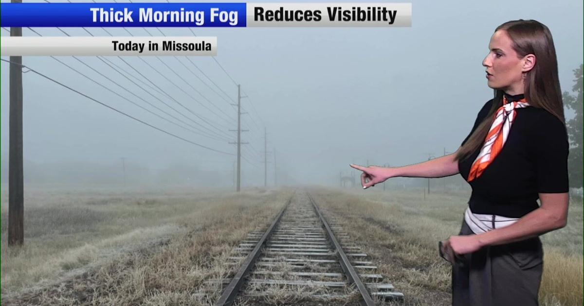
Nonstop Local News Montana Today, we saw dense fog in western valleys this morning This yielded to widespread sunshine in the afternoon across the region Highs reached the 50s in most major areas, which is normal for…
Sun & moon
Almanac
MonthlyBozeman Montana State University, records since 1892. Normals 1991–2020. Data from NOAA's Regional Climate Centers (ACIS).
Nearby
- Bozeman 14 km
- Livingston 47 km
- Four Corners 14 km
- Big Sky 58 km
Forecasters' discussion
From the National Weather Service office in TFX, issued 8 hrs ago
Key Messages
- Today will be the last mild day for awhile.
- Rain and snow develop over the CWA on Friday, along with much cooler temperatures.
- Generally dry conditions, along with more fall temperatures expected Saturday through Tuesday.
Discussion
- Meteorological Overview: The upper level ridge that has been over the CWA for the past few days will begin to move eastward today, as two upper level disturbances approach the CWA for Friday, one from the north and one from the south. Today will be the last well above normal temperature day for awhile, with many areas having high temperatures in the upper 60s or lower 70s today. There will be a few morning sprinkles over Southwest MT, but those should diminish early this morning. Otherwise, rain showers start to approach the CWA from the southwest this evening and overnight. At the same time, colder air will try to move southward from Canada overnight.
The colder air will be near the US/Canadian border by daybreak on Friday, as precipitation continues to overspread the western portions of the CWA. On Friday, expect the warmest temperatures in the morning, with temperatures falling during the afternoon hours as colder air moves in. Snow levels will start out above 10,000 feet tonight, but then fall through out the day on Friday, likely falling to near the valley/plains floor by Friday evening. Some short periods of heavy precipitation is possible on Friday as the front moves through. The front from the north will have some strong north winds, and these strong winds could mix down as the precipitation moves through. Thus a high wind watch has been issued for portions of North Central MT. At the same time, snow levels will be falling, with the best accumulating snowfall above 4500 feet. Thus some mountain ranges over Central/Southwest MT have a winter weather advisory in place for Friday afternoon/evening for several inches of snowfall. At lower elevations, given the short duration of the precip and the time it takes for the rain to change to snow, no advisory will be issued at this time.
This will be a very quick moving weather system, with both disturbances exiting the region by early Saturday morning. Generally dry conditions, but more fall like temperatures are expected from Saturday through Tuesday. The next weather system arrives next Wednesday, with a mix of rain/snow across the CWA.
- Forecast Confidence & Scenarios: Chance for thunder...there is a small chance for a lightning strike with the frontal passage on Friday. However, with a probability mostly less than 10 percent, thunder was just confined to far Southwest MT for now.
The main concerns on Friday will be wind, rain changing to snow, and snow accumulations.
Strong north winds are possible between Cut Bank and Havre on Friday, especially in the gap areas of the Sweet Grass Hills. with a 70 percent chance for high wind gusts in the favored windy spots between Cut Bank and Havre, a high wind watch has been issued for portion of the day on Friday for this area.
Aviation
22/12z TAF Period
Overall VFR conditions are expected through 00z Friday, before conditions slowly start to decrease. A few morning sprinkles around Ennis/West Yellowstone will generally diminish by 13z today. Otherwise, expect increasing clouds this evening, with rain and snow developing over the western portions of the CWA by 06z Fri. The rain and snow continue to push eastward overnight and should reach Central MT by mid day Friday. Snow levels will continue to lower to valley/plains floor by Friday evening. Expect ceilings to lower with IFR/LIFR conditions possible by Friday afternoon. Mountains/passes will start to become obscured after 00z Friday. Brusda
Preliminary Point Temps
GTF 73 43 53 28 / 0 20 100 70 CTB 69 36 47 22 / 0 30 100 10 HLN 70 43 52 25 / 0 20 100 80 BZN 70 40 53 23 / 10 10 100 90 WYS 62 32 46 18 / 10 70 100 100 DLN 67 42 50 27 / 10 80 100 90 HVR 73 40 56 24 / 0 0 90 80 LWT 74 44 63 23 / 0 0 90 100
Forecasts, observations and alerts in the United States come from the National Weather Service (NOAA); radar from NOAA's Multi-Radar Multi-Sensor system; satellite imagery from NASA's Global Imagery Browse Services (GIBS) and NOAA's GOES satellites; the map from the U.S. Geological Survey's National Map; air quality from AirNow (EPA and its partners); hurricane information from the National Hurricane Center; climate normals and records from NOAA's Regional Climate Centers (ACIS). Forecasts outside the United States and the UV index: MET Norway (CC BY 4.0); observations outside the U.S.: airport reports via NOAA's Aviation Weather Center. Place names: GeoNames (CC BY 4.0). Data are copied on a schedule and may lag the sources; for warnings that affect your safety, follow your local National Weather Service office and emergency officials. Weather news is drawn from the 4Search index and reflects what the press published. Terms of use.