Install
Dickinson, ND 58602 Weather
Current conditions
Forecast for this hour (no station report in the last two hours)
Forecast
10-day-
Today
Sunny, with a high near 76. South wind 6 to 9 mph.
-
Tonight
Partly cloudy. Low around 50, with temperatures rising to around 52 overnight. Southeast wind around 7 mph.
-
Friday
Partly sunny. High near 80, with temperatures falling to around 78 in the afternoon. Southeast wind 8 to 16 mph, with gusts as high as 31 mph.
National Weather Service forecast updated 1 hr ago.
Hourly
Hourly forecast- Now65°
- 12 PM70°
- 1 PM73°
- 2 PM75°
- 3 PM76°
- 4 PM77°
- 5 PM75°
- 6 PM70°
- 7 PM66°
- 8 PM61°
- 9 PM59°
- 10 PM58°
- 11 PM56°
- Fri12 AM55°
- 1 AM54°
- 2 AM53°
- 3 AM53°
- 4 AM52°
- 5 AM52°
- 6 AM52°
- 7 AM51°
- 8 AM53°
- 9 AM58°
- 10 AM63°
10-day forecast
Details- TodayOct 22Sunny50°76°
- FriOct 23Partly Sunny36°80°
- SatOct 24Mostly Sunny25°48°
- SunOct 25Mostly Sunny28%27°46°
- MonOct 26Slight Chance Snow Showers then Mostly Cloudy21%26°43°
- TueOct 27Partly Sunny17%30°48°
- WedOct 28Slight Chance Rain And Snow Showers then Partly Sunny17%29°50°
- ThuOct 29Partly cloudy25°38°
- FriOct 30Sunny28°52°
- SatOct 31Partly cloudy33°44°
Days after the National Weather Service's seven are MET Norway's outlook, a computer model with no forecaster's review.
Radar
Full mapWeather news near Dickinson
More weather news-
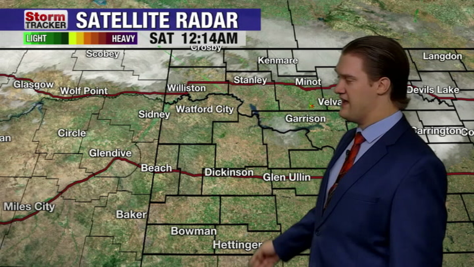 Warmer fall weather returning to the region this weekend
The Dickinson Press Warmer fall weather returning to the region this weekend
-
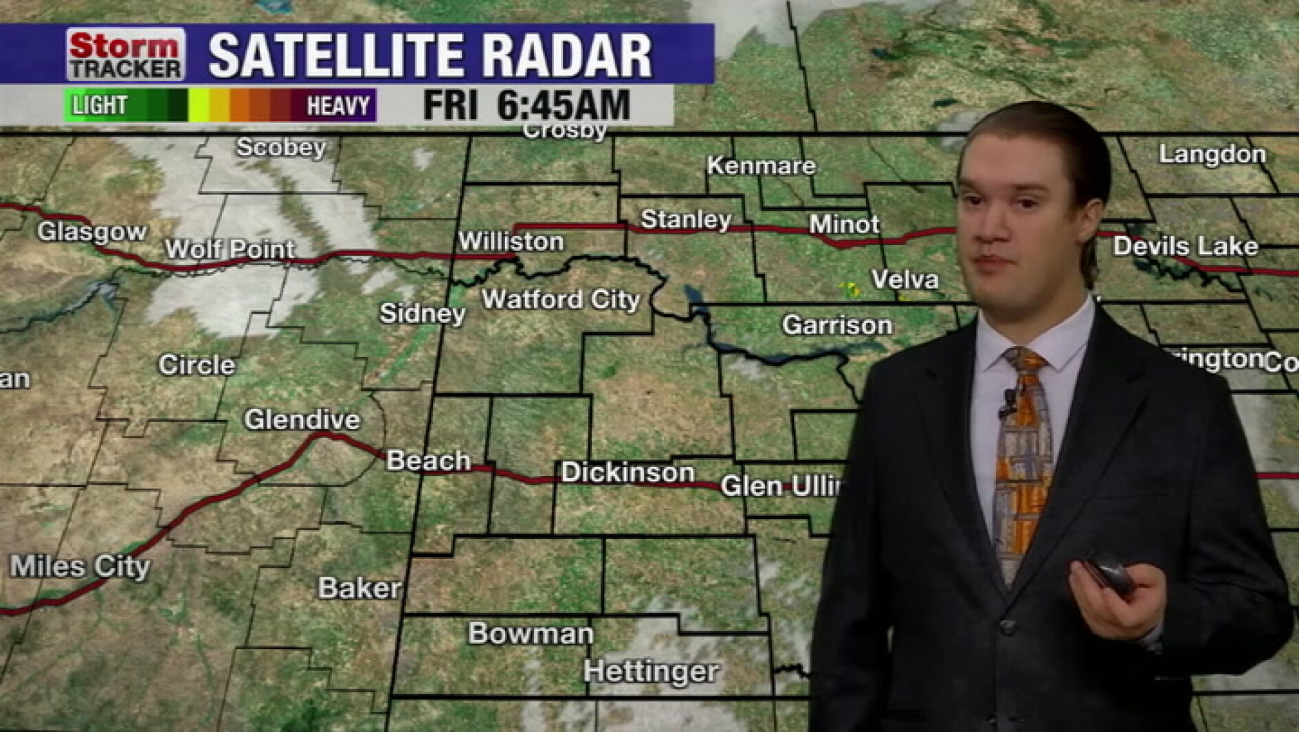 Hard freeze across western ND this morning, with a warm-up ahead this weekend
The Dickinson Press Hard freeze across western ND this morning, with a warm-up ahead this weekend
-
 Ample angling action reported ahead of cold front
Let me briefly touch on the weather. After a nice day Thursday, big changes are on the way come Friday. That much anticipated cold front will cross the coast sometime early Friday. Winds may start off relatively light…
- Nearly 99% of Iowa Remains Drought-Free
Washington, DC — For Iowa overall, 98.64% of the state is free of drought or abnormal dryness, while 1.36% remains abnormally dry (D0). There is no Moderate Drought (D1) or worse anywhere in Iowa. Those numbers are…
-
 Fall temperatures trending warmer in North Dakota, meteorologist says overnight lows show biggest climb
Fall seasons in western and central North Dakota are getting warmer, and local meteorologists say the records prove it. BISMARCK, N.D. (KFYR) - Fall seasons in western and central North Dakota are getting warmer, and…
-
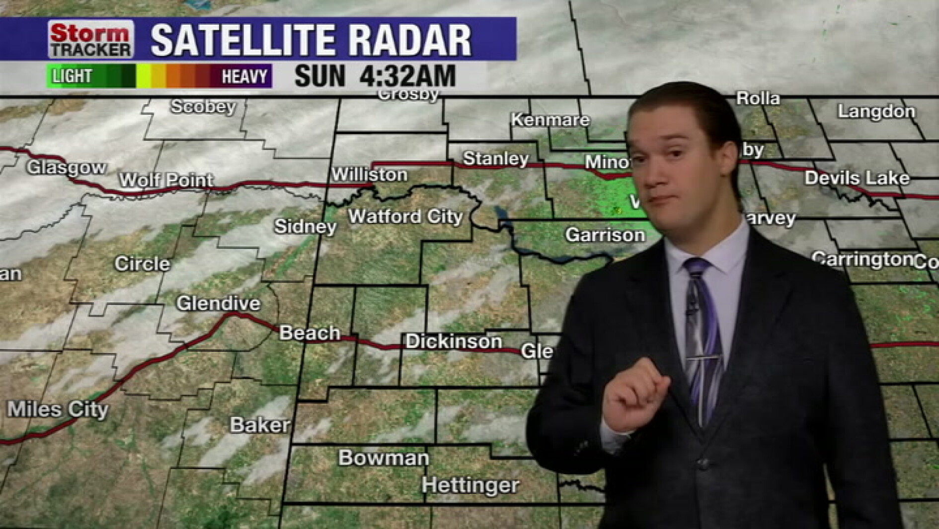 Mild fall weather continues across western North Dakota, even with a slight cool-down today
McKenzie County Farmer Mild fall weather continues across western North Dakota, even with a slight cool-down today
-
 Fall temperatures trending warmer in North Dakota
KFYR-TV Fall temperatures trending warmer in North Dakota Autumn Fest Parade brings music to downtown Bismarck, capitol grounds Hundreds welcome veterans home from Western ND Honor flight ND Today: Designer Genes: Walk…
- North Dakota Weather Today: 30 MPH Gusts Before 70° Sunday Oct 18
Grand Forks, ND – Residents across eastern North Dakota and northwestern Minnesota can expect an unusually pleasant stretch of fall weather this weekend, October 17-18, with sunshine, breezy conditions and temperatures…
Air quality
Air quality is satisfactory, and air pollution poses little or no risk.
Theodore Roosevelt National Park, ND reporting area · 1 hr ago. Data from AirNow (EPA and its state, local and tribal partners); preliminary and subject to change.
Sun & moon
Almanac
MonthlyDickinson Theodore Roosevelt Regional Airport, records since 1948. Normals 1991–2020. Data from NOAA's Regional Climate Centers (ACIS).
Forecasters' discussion
From the National Weather Service office in BIS, issued 3 hrs ago
Key Messages
- Unseasonably warm temperatures to end the workweek, with near record highs today and especially Friday.
- Much cooler temperatures this weekend and into early next week.
- Dry conditions through tonight, then only low chances for showers west and north Friday afternoon through Friday night.
- Breezy to windy Friday and Saturday.
- Near critical fire weather conditions southwest Friday afternoon.
Update
Issued at 930 AM CDT Thu Oct 22 2026
Scattered mid level clouds linger over portions of central North Dakota, otherwise clear and calm weather is found across the forecast area at the time of this mid morning update. No adjustments to the forecast were necessary at this time.
UPDATE Issued at 606 AM CDT Thu Oct 22 2026
A little bit of mid level cloudiness is lifting northeast across the forecast area. Otherwise clear conditions across western and central ND this Thursday morning. No changes needed to the going forecast.
Discussion
Issued at 203 AM CDT Thu Oct 22 2026
Strong upper level ridging will remain over the central portion of the U.S. through Friday. This will bring a couple of unseasonably warm days to western and central ND. Near record highs are possible today, and especially Friday, before much cooler air arrives for the weekend and into the first half of next week.
Today will be breezy at times and Friday will be breezy to windy with south to southeast winds across the forecast area both days. Forecast highs are in the 70s today and 70s to lower 80s southwest on Friday. If these forecast highs hold, Dickinson and Bismarck could both see a record high Friday. That's after a possible record warm overnight low temperature Friday morning as well. We utilized a blend of NBM and NBM90 both today and Friday for forecast highs.
Dry conditions are expected today through tonight. Friday may bring a passing shower, but most will remain dry. Pops Friday are pretty much nil across the area during the day, with a little better chance of some wrap around moisture making it into the northwest Friday night. The threat for thunder looks to be lower than it was yesterday. Although it can not be completely ruled out, will not carry a mention of thunder in the forecast Friday.
The main forecast concerns will be fire weather Friday afternoon, then wind highlights may be needed Friday night and Saturday.
An upper level trough will lift through the Northern Rockies Friday and close off over central Saskatchewan by 12Z Saturday and then track east into Manitoba during the day Saturday. On Friday, surface cyclogenesis takes place over then northern High Plains, with good model agreement in a surface low depicted along the Montana/North Dakota border by 00 UTC Saturday. A south to southeast surface flow over ND during the day, is forecast to turn southwest over the Mondak region Friday afternoon, ahead of the surface low, advecting much drier air into southwest ND. Surface winds are not all that strong but there is an 850 mb jet propagating into southwest ND and with strong daytime heating, we should see some steep lapse rates and a good mixdown potential for a few hours Friday afternoon. This scenario has been pretty consistent for the past couple of days, but it's a pretty small area of southwest ND that could be impacted. If the system slows just a bit, the southwest may miss out on the good mixdown winds Friday afternoon. The trend has been there long enough though, to introduce some near critical fire weather conditions friday afternoon. For now, will keep with near critical "possible". If the trend does hold, a small area (mainly portions of Bowman and Slope Counties) could see a few hours of critical fire weather conditions. For now will go with near critical possible and include the surrounding counties as well.
Aviation
Issued at 930 AM CDT Thu Oct 22 2026
VFR conditions are expected through most of the 12Z TAF period. There is a low probability for some low stratus over portions of the area Friday morning. However at this time probabilities are low (NBM 10-15%) and with a low predictability as to where clouds would develop, will not add any stratus to TAF with this issuance. Will continue to monitor though. Otherwise mainly just some mid and high clouds through the period. South to southeast surface flow generally 5 to 15 knots through the TAF period.
Forecasts, observations and alerts in the United States come from the National Weather Service (NOAA); radar from NOAA's Multi-Radar Multi-Sensor system; satellite imagery from NASA's Global Imagery Browse Services (GIBS) and NOAA's GOES satellites; the map from the U.S. Geological Survey's National Map; air quality from AirNow (EPA and its partners); hurricane information from the National Hurricane Center; climate normals and records from NOAA's Regional Climate Centers (ACIS). Forecasts outside the United States and the UV index: MET Norway (CC BY 4.0); observations outside the U.S.: airport reports via NOAA's Aviation Weather Center. Place names: GeoNames (CC BY 4.0). Data are copied on a schedule and may lag the sources; for warnings that affect your safety, follow your local National Weather Service office and emergency officials. Weather news is drawn from the 4Search index and reflects what the press published. Terms of use.