Install
Wahpeton, ND 58074 Weather
Current conditions
Observed at Fergus Falls Municipal Airport-Einar Mickel · 45 min ago
Forecast
10-day-
Tonight
Mostly clear, with a low around 57. Southeast wind around 12 mph.
-
Friday
A slight chance of rain between 11am and 1pm, then a chance of rain and a slight chance of thunderstorms between 1pm and 4pm. Partly sunny, with a high near 73. Southeast wind 13 to 24 mph, with gusts as high as 40 mph. Chance of precipitation is 30%.
-
Friday Night
A slight chance of rain between 4am and 5am. Partly cloudy. Low around 57, with temperatures rising to around 63 overnight. South southeast wind 17 to 25 mph, with gusts as high as 40 mph. Chance of precipitation is 20%.
National Weather Service forecast updated 14 min ago.
Hourly
Hourly forecast- Now62°
- Fri12 AM61°
- 1 AM61°
- 2 AM60°
- 3 AM59°
- 4 AM58°
- 5 AM58°
- 6 AM58°
- 7 AM57°
- 8 AM59°
- 9 AM59°
- 10 AM63°
- 11 AM66°15%
- 12 PM69°21%
- 1 PM69°32%
- 2 PM71°26%
- 3 PM71°30%
- 4 PM71°13%
- 5 PM72°
- 6 PM73°
- 7 PM70°
- 8 PM68°
- 9 PM66°
- 10 PM66°
10-day forecast
Details- TonightOct 22Mostly Clear57°
- FriOct 23Chance Light Rain32%57°73°
- SatOct 24Mostly Sunny14%35°63°
- SunOct 25Partly Sunny36%34°52°
- MonOct 26Chance Light Rain39%33°47°
- TueOct 27Chance Light Rain36%38°51°
- WedOct 28Chance Light Rain31%35°56°
- ThuOct 29Slight Chance Light Rain then Mostly Sunny15%52°
- FriOct 30Partly cloudy28°43°
- SatOct 31Sunny30°47°
Days after the National Weather Service's seven are MET Norway's outlook, a computer model with no forecaster's review.
Radar
Full mapWeather news near Wahpeton
More weather news-
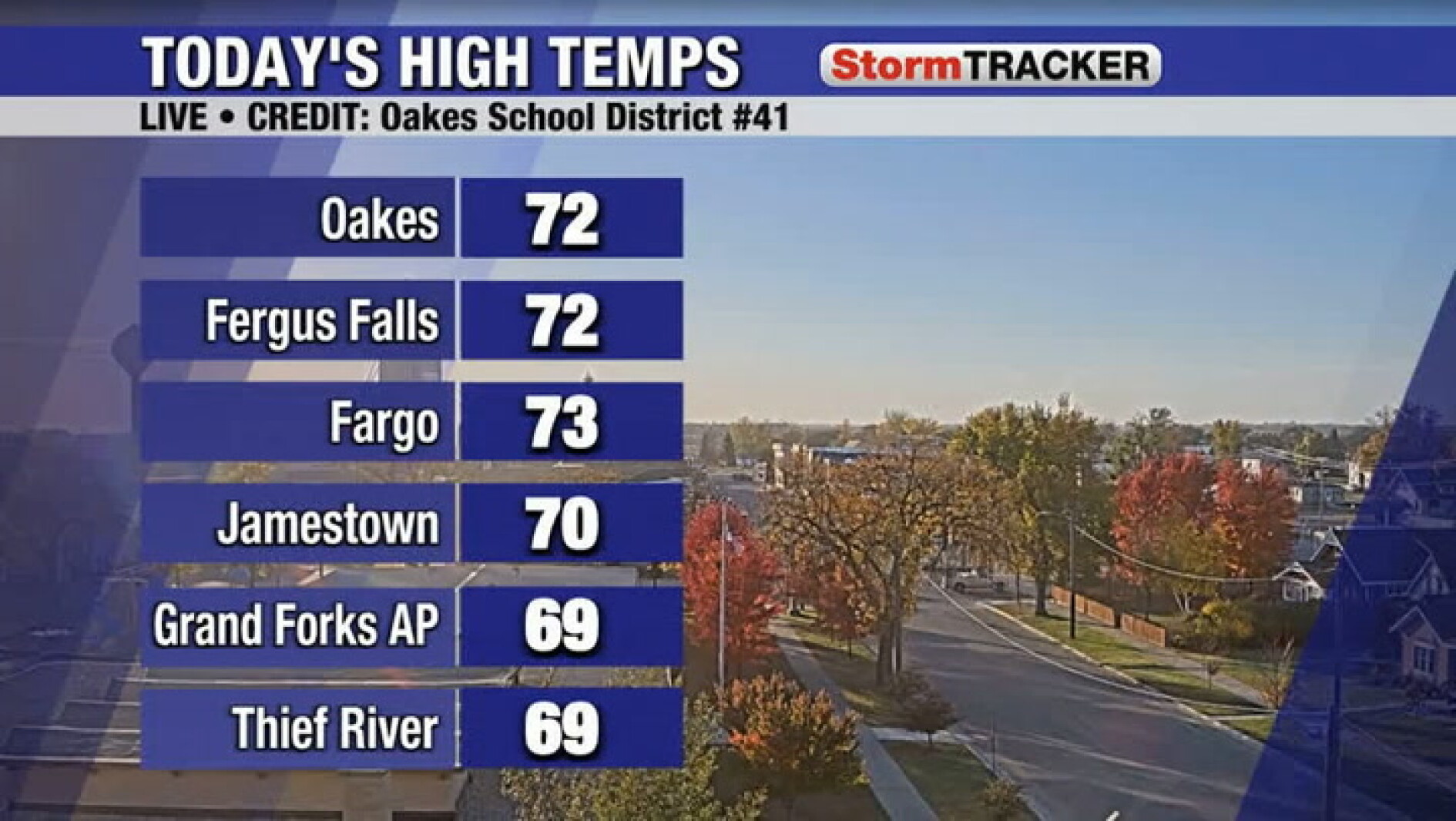 Tracking lighter winds for your Wednesday
Wahpeton Daily News Tracking lighter winds for your Wednesday
-
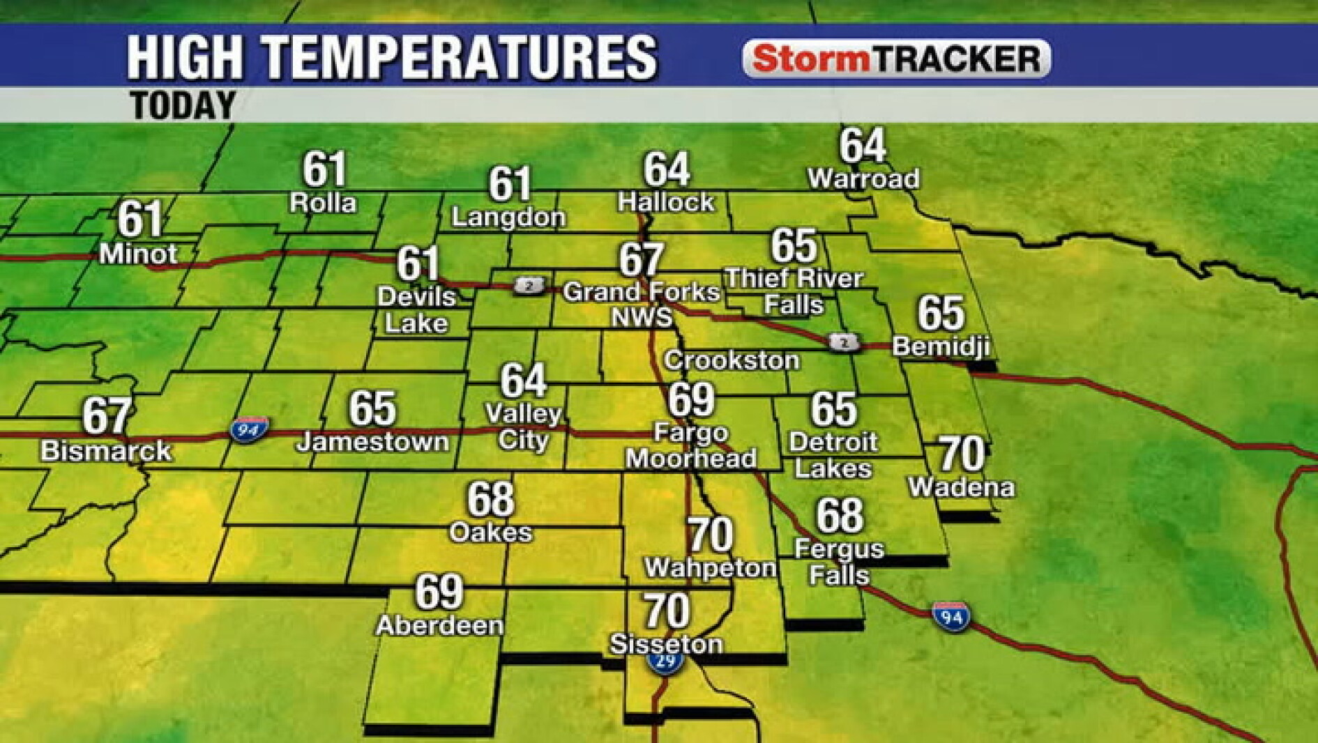 A few clouds as winds chime down this evening
Wahpeton Daily News A few clouds as winds chime down this evening
-
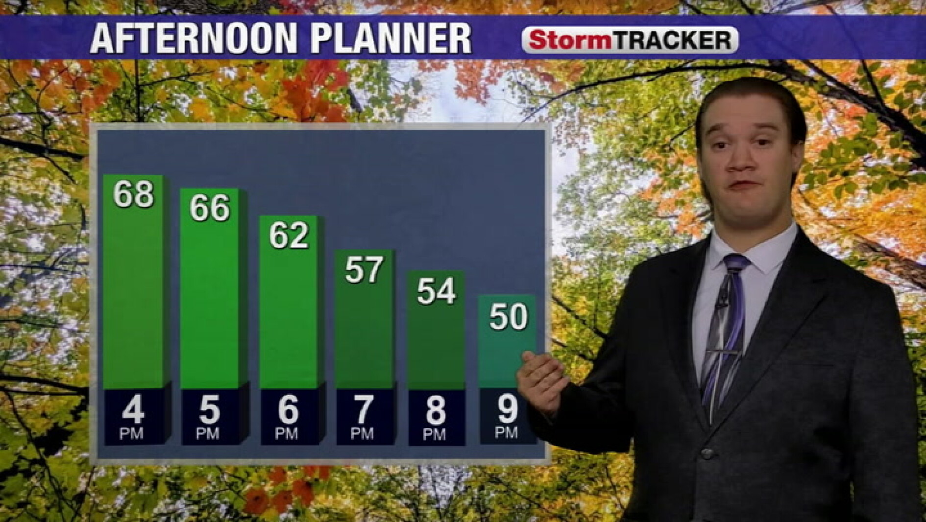 Temperatures tumble a little later tonight after a mild fall day
Wahpeton Daily News Temperatures tumble a little later tonight after a mild fall day
-
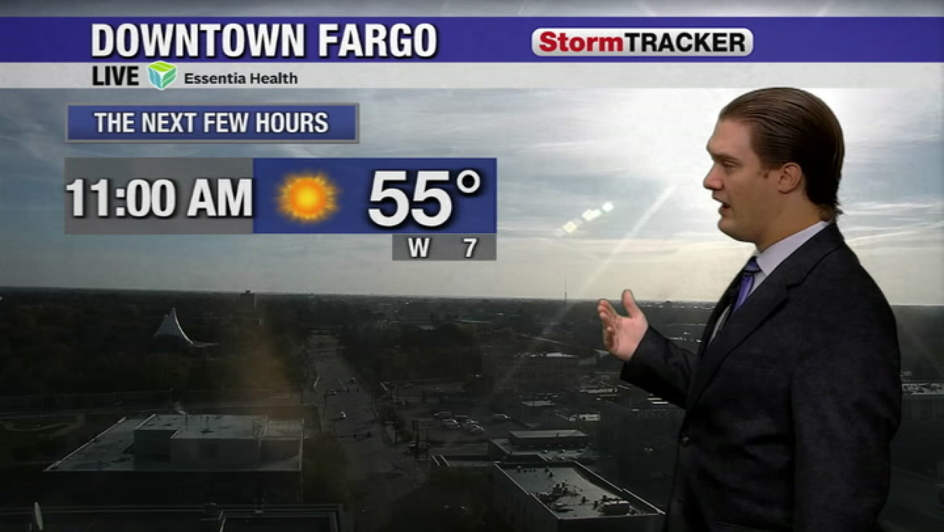 High clouds clearing out and winds turning to the northwest this afternoon
Wahpeton Daily News High clouds clearing out and winds turning to the northwest this afternoon
-
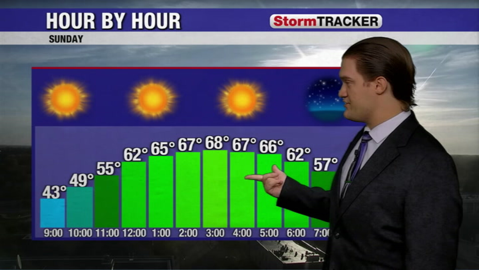 Clouds clearing out with a light breeze turning to the northwest
Wahpeton Daily News Clouds clearing out with a light breeze turning to the northwest
-
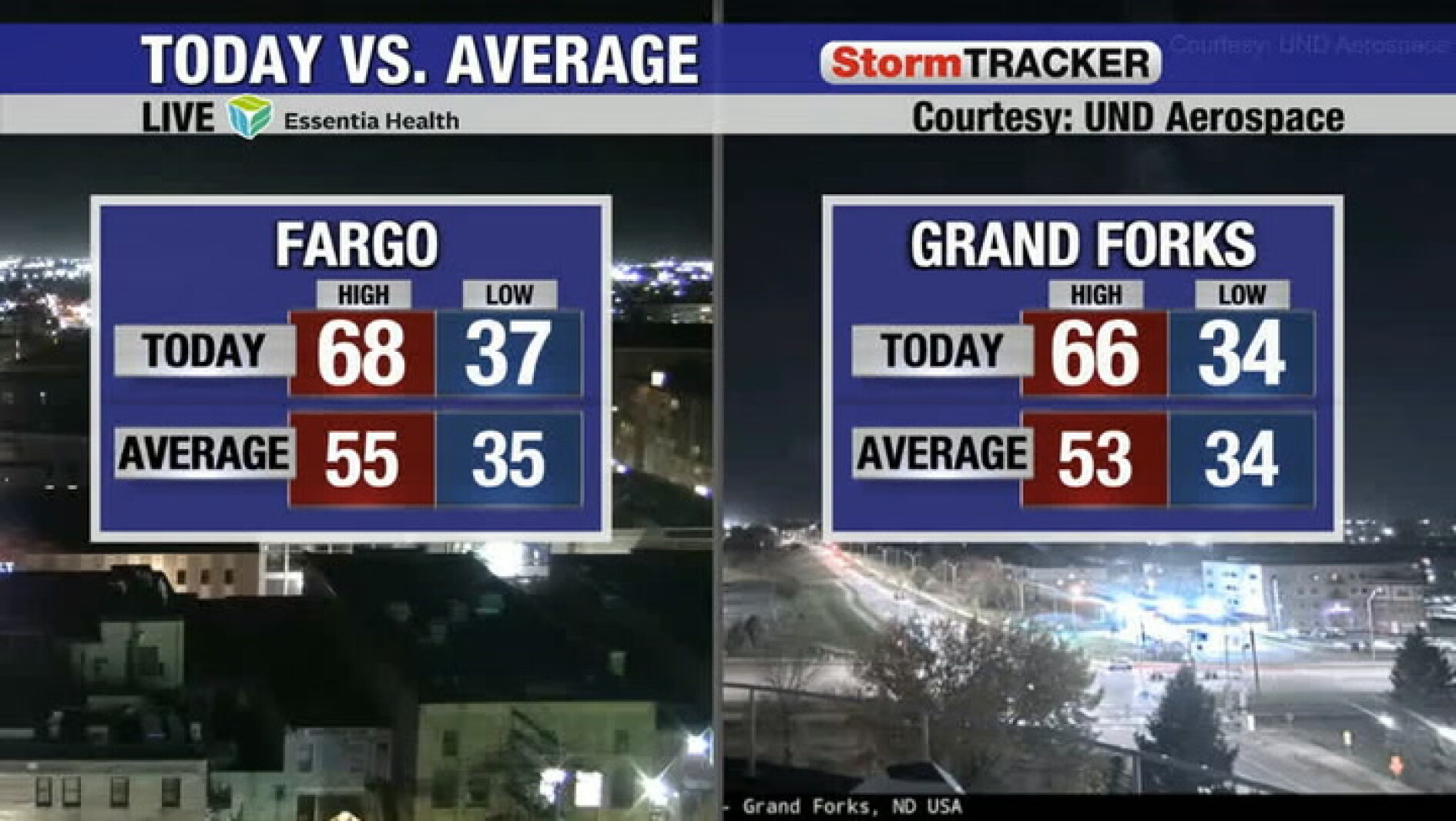 Warm temperatures continue tomorrow with less wind
Wahpeton Daily News Warm temperatures continue tomorrow with less wind
-
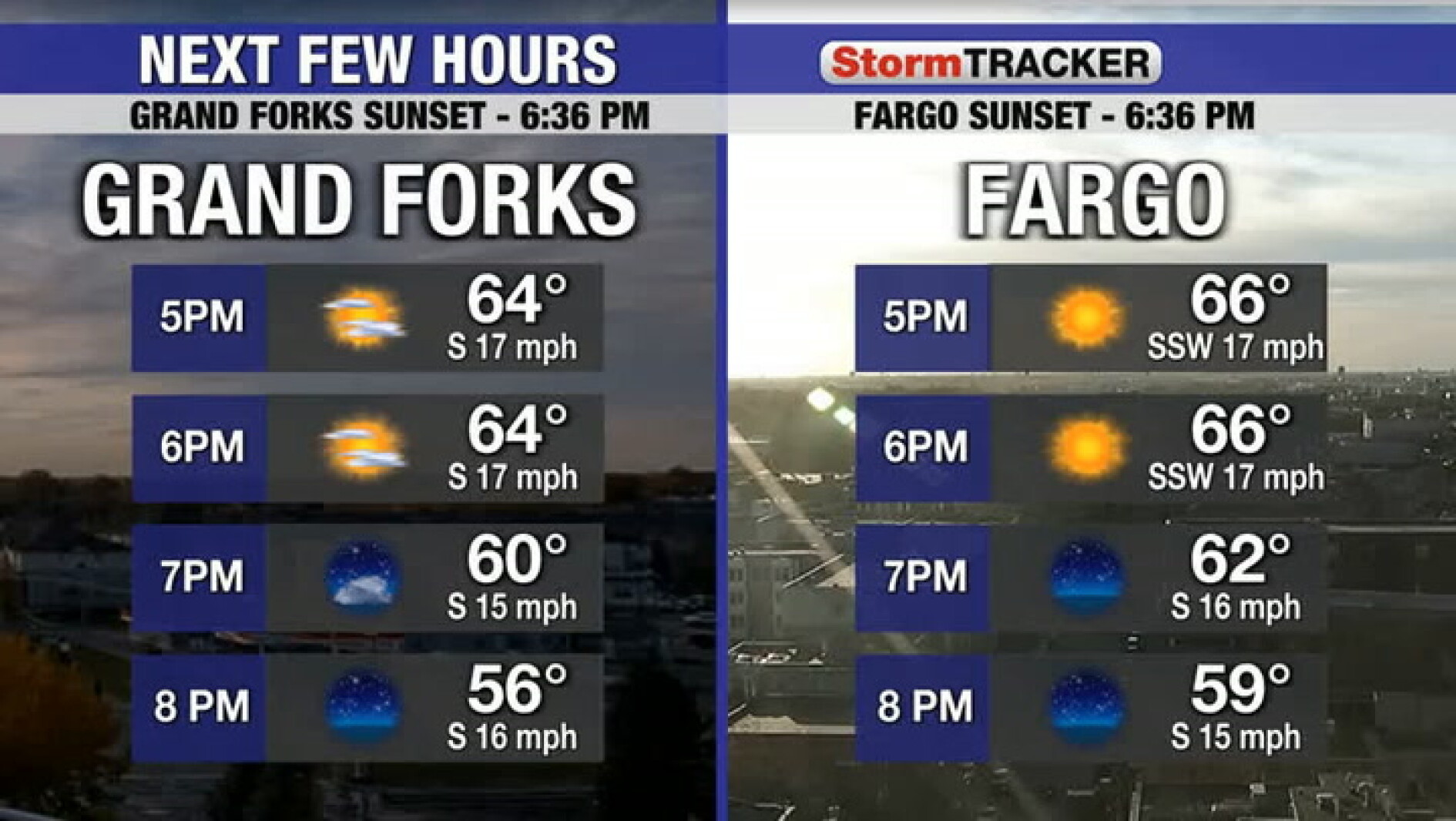 Mild and a bit breezy this evening
Wahpeton Daily News Mild and a bit breezy this evening
-
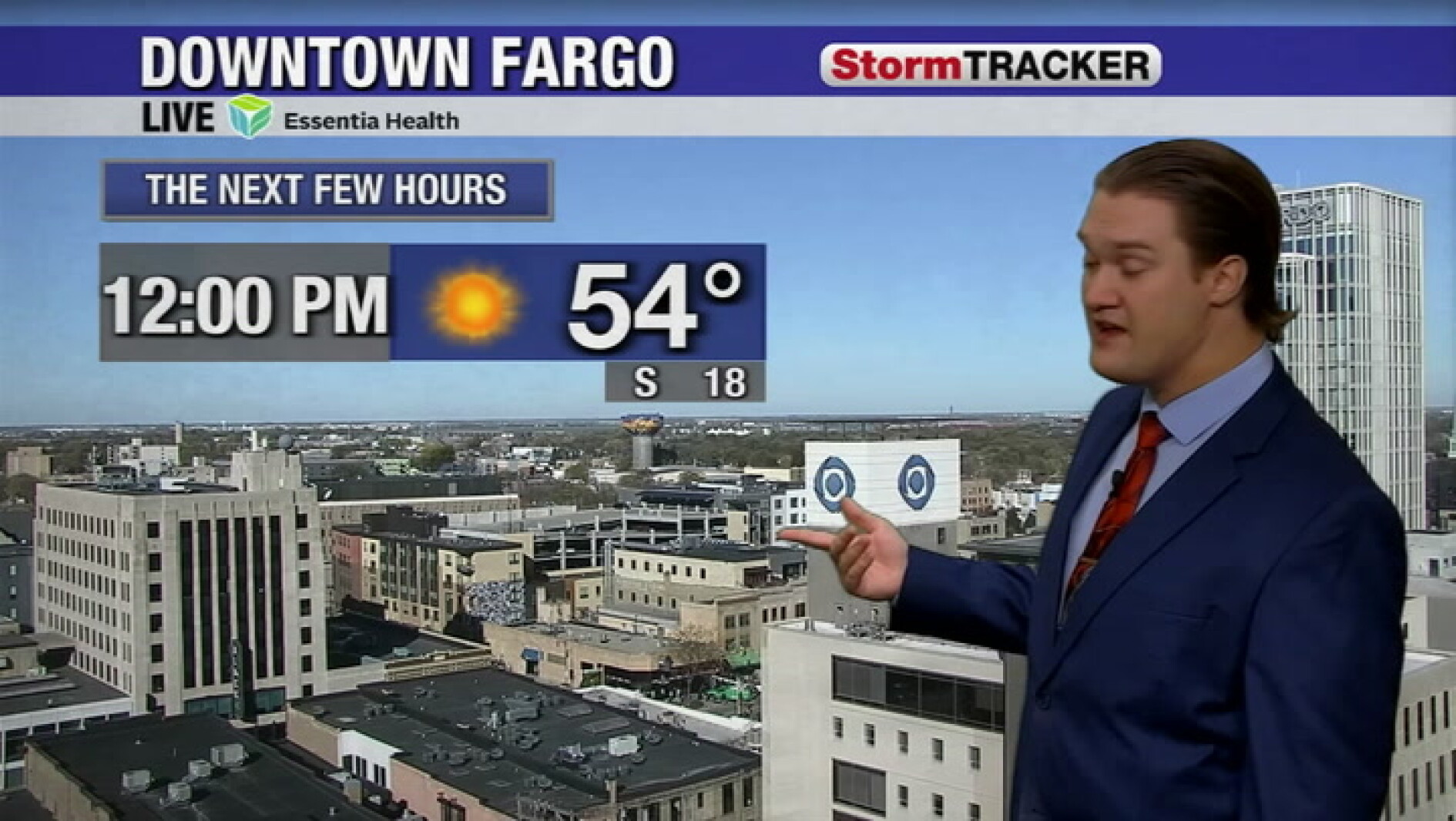 Gentle south breezes and sunny skies push temperatures into the 60s this afternoon
Wahpeton Daily News Gentle south breezes and sunny skies push temperatures into the 60s this afternoon
-
 Fall temperatures trending warmer in North Dakota, meteorologist says overnight lows show biggest climb
Fall seasons in western and central North Dakota are getting warmer, and local meteorologists say the records prove it. BISMARCK, N.D. (KFYR) - Fall seasons in western and central North Dakota are getting warmer, and…
-
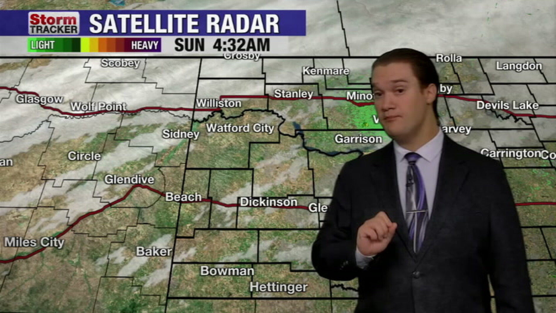 Mild fall weather continues across western North Dakota, even with a slight cool-down today
McKenzie County Farmer Mild fall weather continues across western North Dakota, even with a slight cool-down today
Air quality
Acceptable. Unusually sensitive people should consider limiting prolonged outdoor exertion.
Forecast
- ThuModerate (53)
- FriGood (39)
- SatGood
Red River Valley South, MN reporting area · 2 hrs ago. Data from AirNow (EPA and its state, local and tribal partners); preliminary and subject to change.
Sun & moon
Nearby
- Fergus Falls 41 km
- Breckenridge 1 km
- Barnesville 45 km
- Horace 59 km
- Pelican Rapids 53 km
Forecasters' discussion
From the National Weather Service office in FGF, issued 4 hrs ago
Key Messages
- Well above average temperatures Thursday and Friday, followed by near average temperatures this weekend into next week.
- There is a medium chance for scattered weak thunderstorms Friday afternoon. Main hazard would be lightning.
Discussion
Issued at 342 PM CDT Thu Oct 22 2026
...Synopsis...
Blocked upper ridging remains over the central CONUS, with upper troughing over the West Coast. This upper ridging is driving well above average temperatures in the 70s currently over the region. Weak embedded impulse moving through the flow is utilizing weak instability aloft, helping spark scattered rain/virga showers in northeast ND and northwest MN this afternoon into evening. Dry air in the lower levels will prevent much of this precipitation from reaching the ground, thus added sprinkles to the forecast to account for this.
On Friday, well above average temperatures will occur once more with widespread 70s forecast during the day. While temperatures will be mild, gusty southerly winds 20-40 mph will also build starting Friday by late morning, lasting through the day.
Upper trough in the West will attempt to break eastward, although all guidance suggests this will occur in a split-flow- like regime, with the northern branch of the upper trough in northern CONUS and Canada separating from the southern branch lingering in the Southwest. As it does this, it brings sufficient moisture and lift to bring scattered showers Friday afternoon into evening. Most guidance also indicates at sufficient instability aloft to bring lightning/thunderstorms into the conversation. A lack of better instability, moisture, and wind shear spacing will mitigate how strong thunderstorms will be - likely keeping storms weak.
Strong cold front moves through Friday night into Saturday driven by the northern branch of the upper trough. This ends our well above average temperatures, with most locations seeing daily high temperatures Saturday occur just ahead of this cold front, occurring early morning Saturday.
Aviation
Issued at 628 PM CDT Thu Oct 22 2026
VFR conditions are expected to prevail through much of the TAF period at all sites. A stray shower is possible this evening, however, chances are quickly diminishing as the sun sets. Winds remain out of the southeast overnight and into Friday, with increasing cloud cover through the day on Friday. VFR ceilings are likely to continue, with a chance for showers or a stray thunderstorm during the afternoon, especially for KFAR, KBJI, and KTVF. Friday's winds remain out of the southeast, but will increase into the 15-25 knot range sustained, with gusts in the 30-35 knot range.
Fgf Watches
ND...None. MN...None.
Forecasts, observations and alerts in the United States come from the National Weather Service (NOAA); radar from NOAA's Multi-Radar Multi-Sensor system; satellite imagery from NASA's Global Imagery Browse Services (GIBS) and NOAA's GOES satellites; the map from the U.S. Geological Survey's National Map; air quality from AirNow (EPA and its partners); hurricane information from the National Hurricane Center; climate normals and records from NOAA's Regional Climate Centers (ACIS). Forecasts outside the United States and the UV index: MET Norway (CC BY 4.0); observations outside the U.S.: airport reports via NOAA's Aviation Weather Center. Place names: GeoNames (CC BY 4.0). Data are copied on a schedule and may lag the sources; for warnings that affect your safety, follow your local National Weather Service office and emergency officials. Weather news is drawn from the 4Search index and reflects what the press published. Terms of use.