Install
Mitchell, SD 57301 Weather
Current conditions
Forecast for this hour (no station report in the last two hours)
Forecast
10-day-
This Afternoon
Sunny, with a high near 72. North northeast wind around 5 mph.
-
Tonight
Patchy fog after 5am. Mostly clear. Low around 45, with temperatures rising to around 48 overnight. East northeast wind around 5 mph.
-
Thursday
Areas of fog before 10am. Mostly sunny, with a high near 75. South southeast wind 5 to 15 mph, with gusts as high as 30 mph.
National Weather Service forecast updated 2 hrs ago.
Hourly
Hourly forecast- Now69°
- 4 PM70°
- 5 PM71°
- 6 PM67°
- 7 PM63°
- 8 PM61°
- 9 PM59°
- 10 PM57°
- 11 PM54°
- Thu12 AM51°
- 1 AM49°
- 2 AM51°
- 3 AM52°
- 4 AM50°
- 5 AM48°
- 6 AM46°
- 7 AM46°
- 8 AM46°
- 9 AM49°
- 10 AM54°
- 11 AM61°
- 12 PM67°
- 1 PM71°
- 2 PM74°
10-day forecast
Details- TodayOct 21Sunny45°72°
- ThuOct 22Areas Of Fog then Mostly Sunny18%59°75°
- FriOct 23Chance Rain Showers30%59°81°
- SatOct 24Chance Rain Showers56%44°68°
- SunOct 25Rain Showers Likely73%40°53°
- MonOct 26Rain Showers Likely66%37°50°
- TueOct 27Slight Chance Rain Showers then Partly Sunny19%40°54°
- WedOct 28Light showers0.04 in42°58°
- ThuOct 29Sunny36°51°
- FriOct 30Sunny33°55°
Days after the National Weather Service's seven are MET Norway's outlook, a computer model with no forecaster's review.
Radar
Full mapWeather news near Mitchell
More weather news-
 First Snow of the Season Falls on Blue Ridge Parkway, Mt. Mitchell
Snow returned to the High Country’s highest elevations Saturday, Oct. 17, with the first flakes of the season falling along the Blue Ridge Parkway and on Mt. Mitchell. Andrea Crouch shot video Saturday morning, Oct. 17…
-
 WATCH: Snow spotted in Yancey County, North Carolina
Forty- to thirty-degree temperatures are expected across the Carolinas. YANCEY COUNTY, N.C. (FOX Carolina) - Officials with the National Weather Service said snow has been spotted in North Carolina. A video provided by…
-
 Freeze Warning Issued for Watauga, Ashe and Avery Counties Late Saturday Night Into Sunday Morning
A Freeze Warning is in effect from 1 AM to 9 AM Sunday, Oct. 18, for Watauga, Ashe and Avery counties, with lows as low as the upper 20s to lower 30s expected. The National Weather Service says frost and freeze…
-
 First freeze of fall expected in western North Carolina mountains Sunday morning
A Frost Advisory is in effect Sunday morning from 1 AM to 9 AM for the southern NC mountains, eastern foothills, Upstate SC, and NE Georgia. A Freeze Warning is in effect Sunday morning from 1 AM to 9 AM for counties…
-
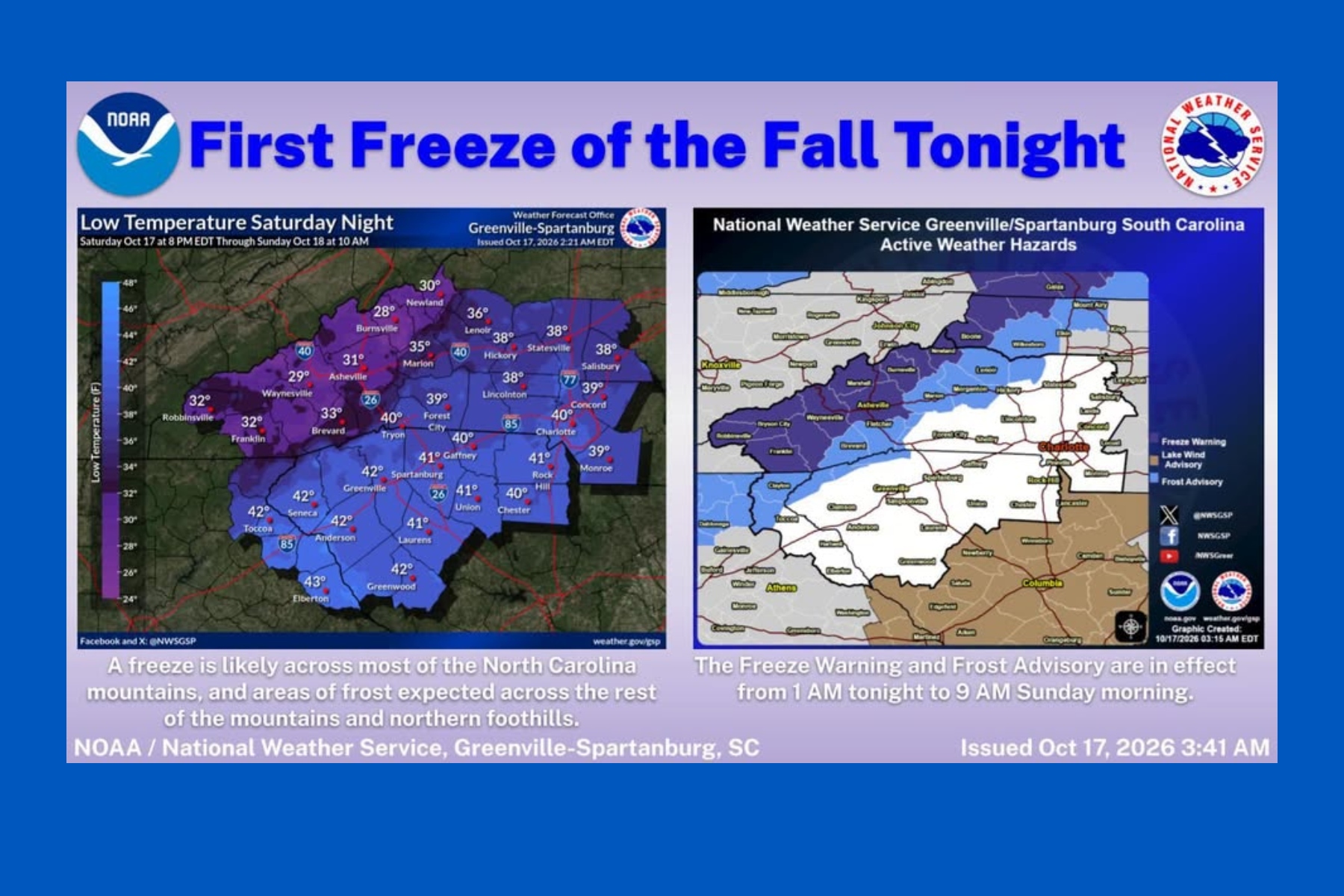 First snow falls in NC mountains as freeze warning looms
Mount Mitchell sees snow as temperatures plunge across Western North Carolina ASHEVILLE, N.C. (828newsNOW) — Fall colors are still hanging on in the North Carolina mountains, but winter made an early appearance Saturday…
-
 October 17th Morning Weather Update
cbs19news.com : Freeze Warning from SUN 1:00 AM EDT until SUN 9:00 AM EDT Headline: Freeze Warning from SUN 1:00 AM EDT until SUN 9:00 AM EDT October 17th Morning Weather Update - 15 vintage dishes that made my family’s…
-
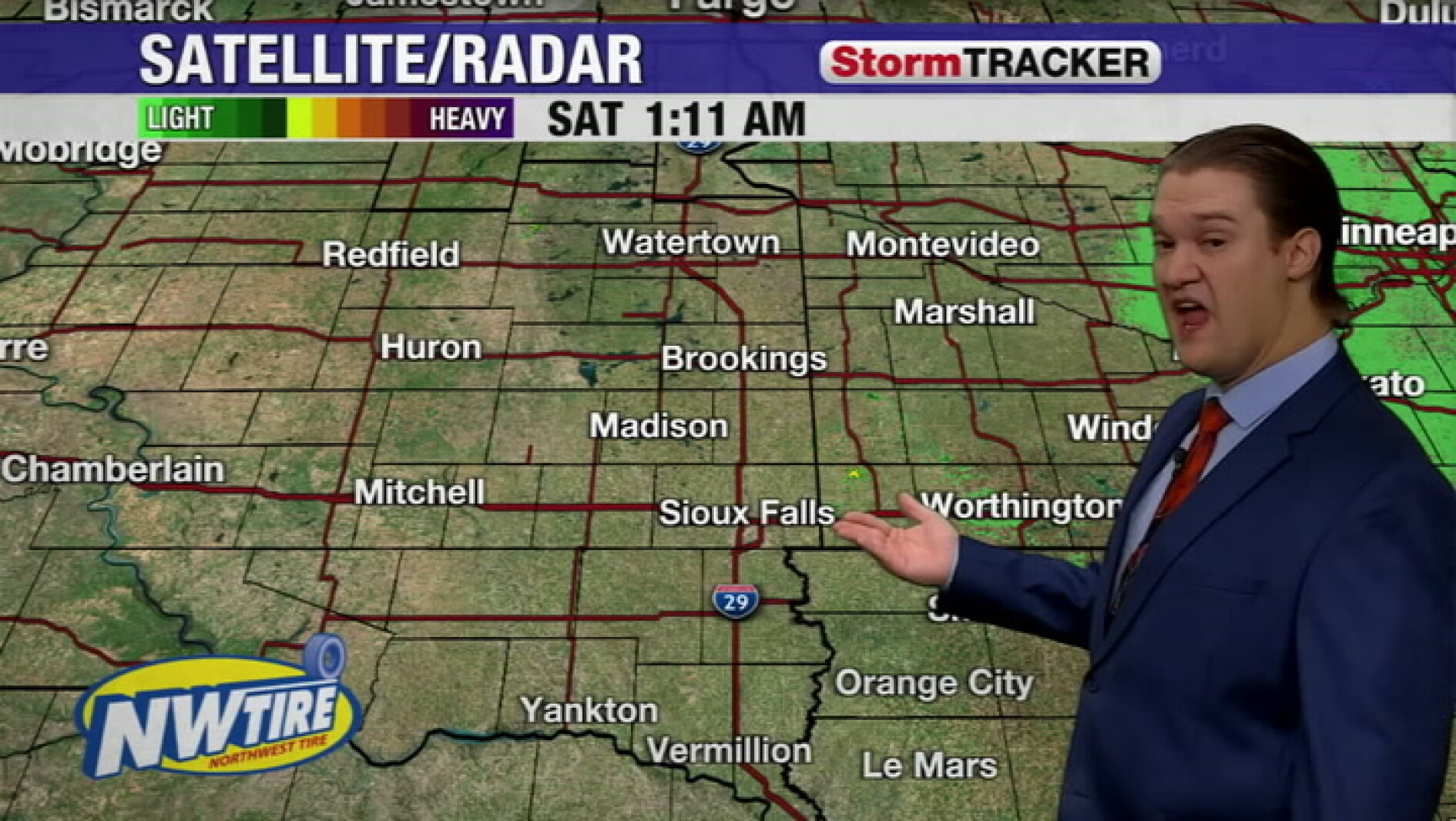 Chilly this morning with clear skies around the Sioux Falls area
Mitchell Daily Republic
-
 Maritime weather forecast for Oct. 16
CTV News Maritime weather forecast for Oct. 16 Kalin Mitchell shares the Maritime weather forecast for Oct. 16.
- Freeze warning in place for Western North Carolina for Sunday
At 1:21 a.m. on Saturday, the NWS Greenville-Spartanburg SC released a freeze warning valid for Sunday between 1 a.m. and 9 a.m. The warning is for Northern Jackson and Southern Jackson as well as Avery, Madison…
-
 Maritimers swap rain jackets for sweaters this weekend
CTV News Maritimers swap rain jackets for sweaters this weekend CTV meteorologist Kalin Mitchell goes over a rainy and gusty Friday night for New Brunswick, Nova Scotia, and Prince Edward Island.
Sun & moon
Almanac
MonthlyMitchell Area, records since 1893. Normals 1991–2020. Data from NOAA's Regional Climate Centers (ACIS).
Forecasters' discussion
From the National Weather Service office in FSD, issued 9 hrs ago
Key Messages
- Elevated fire weather is expected on Thursday with the potential for critical fire weather conditions on Friday.
- Patchy valley fog is possible through mid Wednesday morning. Patchy valley fog may once again develop Thursday morning.
- Temperatures through Friday remain 10 to 20 degrees above the seasonal normals for mid/late October.
- Dry conditions are expected through Thursday evening. Low (30% or less) rain chances Friday morning with better chances (around 50-60%) this weekend.
Update
Issued at 605 AM CDT Wed Oct 21 2026
Surface boundary has been a little bit slower to move into the forecast area this morning, keeping southerly winds a couple mph stronger than expected. This doesn't sound like much, but has kept fog development to a minimum for our area. Can't rule out isolated river valley fog over the next couple hours, but decreasing confidence in development.
Previous Update: Issued at 311 AM CDT Wed Oct 21 2026
Another warm start to this mid October morning, with temperatures through 3 AM in the upper 40s to mid 50s - closer to average highs for this time of year. Winds are still a bit breezy as the surface boundary stretches across central SD, so haven't seen any fog develop yet. Still expect winds to weaken though, and guidance continues to support at least patchy valley fog. Moderate (40-50%) chances of below 2 mile visibility this morning in the James Valley. Any fog that develops should dissipate by mid morning. For Thursday morning, HREF/REFS and other guidance show more widespread fog (increased/expanded probability of visibility below 2 miles) with calm to light winds.
NBM high temperatures continue to under perform, so raised highs with the 90th percentile through Friday (still increasing 2-4 degrees or more). Used a blend as a more southeasterly wind may temper mixing (and high temperature) potential somewhat late week. Still, highs today in the 70s with mid/upper 70s to lower 80s Thursday and Friday. Not approaching any record highs, but some record warm low temperatures are possible late week. Although humidity values are expected to remain above 35% Friday, strong winds coupled with dry grasses and crops may be enough to overcome these slightly higher values. This would lead to widespread High to Very High fire danger. Use caution to prevent sparks, especially with harvest activities.
Still very low rain chances early Friday morning (less than 30%), with better rain chances late Friday night through the weekend.
Discussion
Issued at 313 PM CDT Tue Oct 20 2026
Breezy southerly winds will gradually decrease this afternoon and evening with mostly clear skies. Lows will fall to the mid to upper 40s. For reference average lows this time of year are in the mid 30s. Early Wednesday morning winds will become light, which may allow for patchy fog development along river valleys and low areas. Especially along the northern James River Valley where probability of visibility falling to 2 miles or less is around 50%. Any fog development will burn off by mid-Wednesday morning.
As for the rest of Wednesday an upper trough and surface low located over eastern Nunavut and Manitoba will drag a cold front into the region early Wednesday morning, connected to a secondary weak mid- level shortwave and surface low over western South Dakota. At the same time moderate WAA on southerly winds will begin to amplify a shallow upper ridge located over the south central US. As this ridge continues to amplify through the day it will push back against the cold front causing it to stall out, eventually washing out the front and secondary low pressure. This will result in a diffuse weak surface boundary. Winds may vary along this boundary for a short time before becoming southerly once again as a surface high pressure strengthens over the central Midwestern states. By Friday 200 mb heights will be near to or at maximum for climatology, as will 700- 500 mb temperatures. What this means is at the surface we will be experiencing abnormally warm October days. The NBM continued showing a cold bias this run and so coordinated with neighbors to boost highs using a blend of NBM/NBM90th. Highs will rise into the low to mid 70s Wednesday, and the mid to upper 70s Thursday. There may even be a few 80s! While this is 10 to 20 degrees F warmer than average, we are still more than 5 degrees away from tying or breaking any record highs.
Looking now to the west we see a deep upper trough moving on shore stretching from British Columbia down to southern California. As this and a series of embedded shortwaves on the west side of the ridge move east the SPG will begin to tighten. Southerly winds will increase, gusting 15-25 mph by Thursday afternoon for areas along and west of I-29. East of I-29 gusts will 15 mph or less. As this entire pattern shifts east overnight gusty winds will spread east. Friday winds will continue to increase, with widespread gusts of 30 to 40 mph. Higher gusts are expected as you move west toward central South Dakota. Gusts west of the James River could reach 45+ mph. While minimum relative humidity values will remain above 40%, strong winds and drying grasses will lead to locally elevated fire risk at times through the remainder of the week.
In addition, early Friday morning WAA along the nose of the LLJ may result in light, scattered showers over south central South Dakota early Friday morning moving northeast into southwest Minnesota around noon. These showers are likely to be hit and miss, meaning not everyone will get rain, and those that do will probably only see a trace to a hundredth or two. Friday night into Saturday as the previously mentioned upper trough moves into the central plains of Canada and the US, draping a cold front down into eastern Colorado. Showers will form along the front and move southeast from early Saturday morning through Saturday evening. Once again showers are expected to be light, and could be spotty at times. A brief break overnight before a southern stream upper trough moves northeast into the region bringing more chances for rain Sunday afternoon into Monday morning. Overall totals are expected to be light, with areas of southeast South Dakota, northeast Nebraska, and northwest Iowa seeing around a 60% probability of 0.25 inches. Probabilities fall off quickly from there, and most will only see a few hundredths to a tenth or so.
Aviation
Issued at 605 AM CDT Wed Oct 21 2026
An area of VFR clouds over northwestern IA (ceilings around 5kft); otherwise, clear skies over the area. Fog has really struggled this morning, but can't rule out some very patchy river valley fog through 14z or so. Winds remain light and somewhat variable today into tonight.
With light winds, patchy valley fog is again possible Thursday morning. Outside of fog, VFR conditions prevail.
Forecasts, observations and alerts in the United States come from the National Weather Service (NOAA); radar from NOAA's Multi-Radar Multi-Sensor system; satellite imagery from NASA's Global Imagery Browse Services (GIBS) and NOAA's GOES satellites; the map from the U.S. Geological Survey's National Map; air quality from AirNow (EPA and its partners); hurricane information from the National Hurricane Center; climate normals and records from NOAA's Regional Climate Centers (ACIS). Forecasts outside the United States and the UV index: MET Norway (CC BY 4.0); observations outside the U.S.: airport reports via NOAA's Aviation Weather Center. Place names: GeoNames (CC BY 4.0). Data are copied on a schedule and may lag the sources; for warnings that affect your safety, follow your local National Weather Service office and emergency officials. Weather news is drawn from the 4Search index and reflects what the press published. Terms of use.