Install
Thief River Falls, MN 56701 Weather
Current conditions
Forecast for this hour (no station report in the last two hours)
Forecast
10-day-
Tonight
Partly cloudy. Low around 55, with temperatures rising to around 57 overnight. South southeast wind around 12 mph.
-
Friday
A slight chance of thunderstorms and a slight chance of rain between 4pm and 5pm, then a chance of rain and a slight chance of thunderstorms. Mostly sunny. High near 74, with temperatures falling to around 72 in the afternoon. South southeast wind 10 to 22 mph, with gusts as high as 35 mph. Chance of precipitation is 40%.
-
Friday Night
A slight chance of thunderstorms and a slight chance of rain before 9pm. Mostly cloudy, with a low around 55. South southeast wind around 25 mph, with gusts as high as 37 mph. Chance of precipitation is 20%.
National Weather Service forecast updated 6 hrs ago.
Hourly
Hourly forecast- Now69°10%
- 7 PM64°11%
- 8 PM61°
- 9 PM59°11%
- 10 PM57°
- 11 PM57°
- Fri12 AM57°11%
- 1 AM57°11%
- 2 AM57°11%
- 3 AM57°
- 4 AM56°
- 5 AM56°
- 6 AM56°
- 7 AM56°
- 8 AM55°
- 9 AM57°
- 10 AM62°
- 11 AM66°
- 12 PM71°
- 1 PM71°
- 2 PM73°
- 3 PM74°10%
- 4 PM72°17%
- 5 PM72°39%
10-day forecast
Details- TodayOct 22Sunny55°71°
- FriOct 23Mostly Sunny then Slight Chance T-storms39%55°74°
- SatOct 24Mostly Sunny30°62°
- SunOct 25Mostly Sunny28°45°
- MonOct 26Partly Sunny12%28°44°
- TueOct 27Partly Sunny19%34°46°
- WedOct 28Slight Chance Light Rain24%34°50°
- ThuOct 29Cloudy29°37°
- FriOct 30Sunny29°47°
- SatOct 31Cloudy36°45°
Days after the National Weather Service's seven are MET Norway's outlook, a computer model with no forecaster's review.
Radar
Full mapWeather news in Minnesota
More weather news-
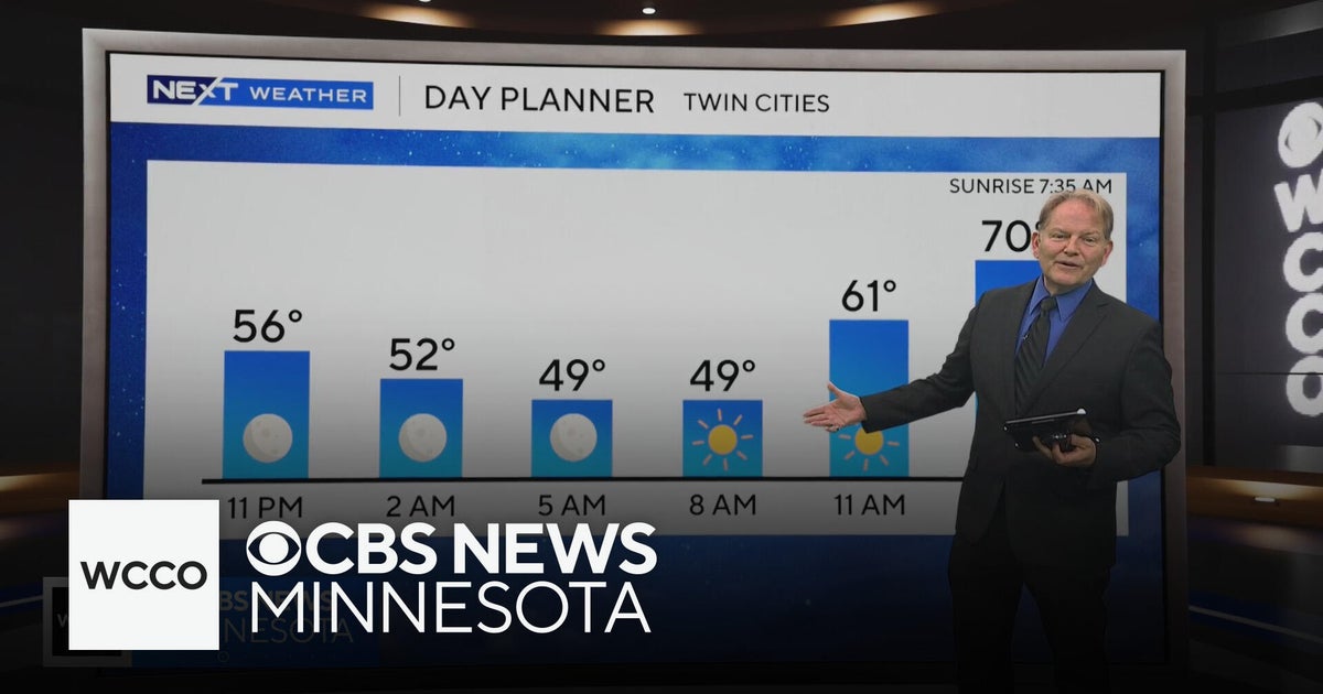 No rain in sight for Minnesota, but several days in the 70s on the way
WBZ This Morning 6am CBS News Chicago 5am CBS News Detroit 6am CBS News Miami 6am CBS News New York This Morning CBS News Philadelphia 6am KDKA-TV Morning News 6am CBS News Texas 5am
-
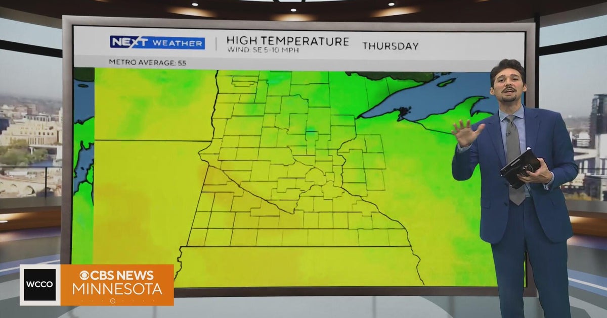 Minnesota weather stays unusually warm, with highs 15 to 20 degrees above normal | Oct. 20, 2026
CBS News Minnesota weather stays unusually warm, with highs 15 to 20 degrees above normal | Oct. 20, 2026 Preview: Golf 101 at Park 365 in Roseville Twin Cities man, 18, accused in MOA terror plot, and more headlines…
-
 More sunny, mild late October weather in Minnesota Tuesday
Updated on: October 20, 2026 / 6:34 AM CDT / CBS Minnesota Tuesday is another sunny and mild October day in the Twin Cities, with highs in the 70s south of Interstate 94 and upper 60s up north. Wednesday will be more of…
-
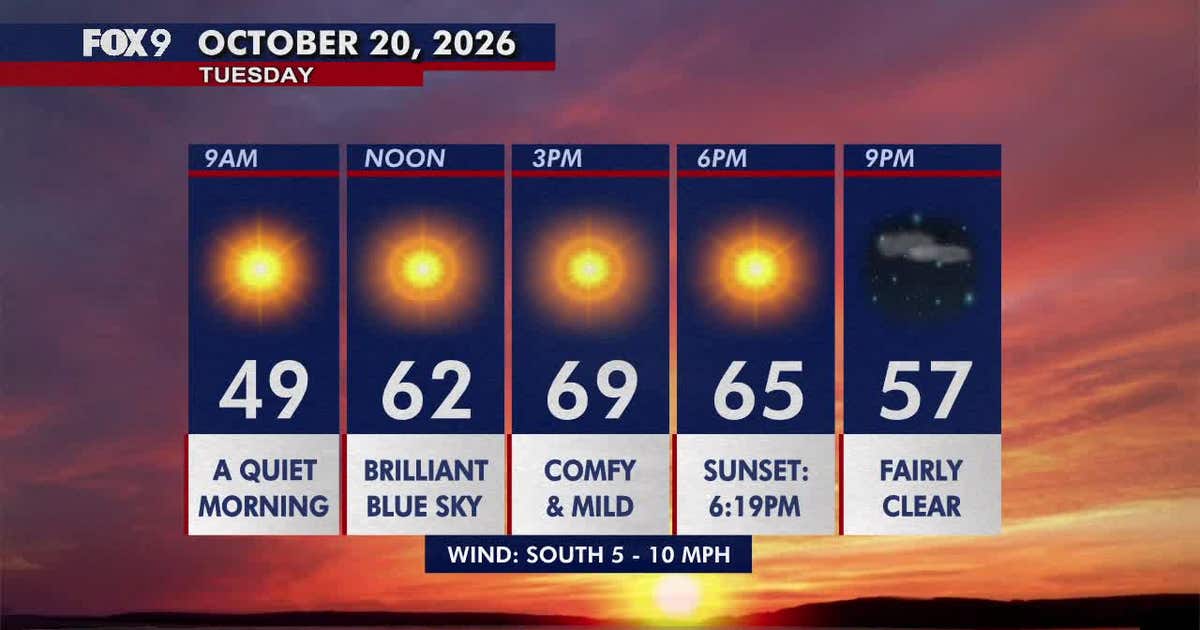 Minnesota weather: Pleasant, sunny and mild Tuesday
Tuesday brings plenty of sunshine and mild temperatures in the upper 60s and low 70s. Highs climb into the 70s areawide by Wednesday before cooler, more seasonable weather returns early next week. FOX 9 meteorologist…
-
 More sunny, mild late October weather in Minnesota | Oct. 20, 2026
CBS News Baltimore 8am CBS News Boston 8am CBS News Chicago 7am CBS News Colorado This Morning 6am CBS News Los Angeles Mornings 5am CBS News Miami 8am CBS News New York 8am CBS News Texas 7am
-
 Warming trend in Minnesota continues, as rain holds off
CBS News Minnesota is a local news organization that is part of CBS News and Stations. Also referred to as WCCO-TV and channel 4, CBS News Minnesota offers local breaking news, weather coverage and investigative…
-
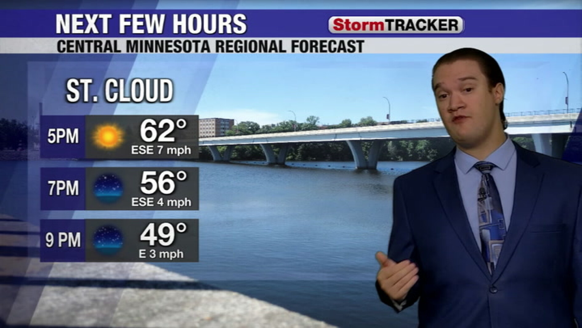 Clear skies tonight and a calm week across central Minnesota
West Central Tribune
-
-
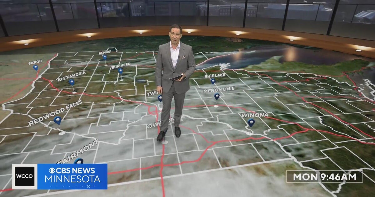 Minnesota’s warm, dry streak continues, with temperatures nearing 80 by Thursday | Oct. 19, 2026
A ridge of high pressure keeps the jet stream and cold air to the north, WCCO’s meteorologist says. Highs reach nearly 70 in the Twin Cities Wednesday, the mid 70s Thursday and close to 80 in parts of south central…
-
 Can Minnesota, Wisconsin Still Get Big Snowstorms During an El Niño Winter?
If you've been paying attention to the winter forecasts lately, you've probably heard the same message over and over: warm, mild, and maybe not much snow. For a lot of people across Minnesota and Wisconsin, that sounds…
Air quality
Air quality is satisfactory, and air pollution poses little or no risk.
Forecast
- ThuGood (50)
- FriGood (39)
- SatGood
Northwestern Minnesota, MN reporting area · 1 hr ago. Data from AirNow (EPA and its state, local and tribal partners); preliminary and subject to change.
Sun & moon
Almanac
MonthlyThief River Falls Municipal Ap, records since 1903. Normals 1991–2020. Data from NOAA's Regional Climate Centers (ACIS).
Nearby
- Crookston 50 km
Forecasters' discussion
From the National Weather Service office in FGF, issued 2 hrs ago
Key Messages
- Well above average temperatures Thursday and Friday, followed by near average temperatures this weekend into next week.
- There is a medium chance for scattered weak thunderstorms Friday afternoon. Main hazard would be lightning.
Discussion
Issued at 342 PM CDT Thu Oct 22 2026
...Synopsis...
Blocked upper ridging remains over the central CONUS, with upper troughing over the West Coast. This upper ridging is driving well above average temperatures in the 70s currently over the region. Weak embedded impulse moving through the flow is utilizing weak instability aloft, helping spark scattered rain/virga showers in northeast ND and northwest MN this afternoon into evening. Dry air in the lower levels will prevent much of this precipitation from reaching the ground, thus added sprinkles to the forecast to account for this.
On Friday, well above average temperatures will occur once more with widespread 70s forecast during the day. While temperatures will be mild, gusty southerly winds 20-40 mph will also build starting Friday by late morning, lasting through the day.
Upper trough in the West will attempt to break eastward, although all guidance suggests this will occur in a split-flow- like regime, with the northern branch of the upper trough in northern CONUS and Canada separating from the southern branch lingering in the Southwest. As it does this, it brings sufficient moisture and lift to bring scattered showers Friday afternoon into evening. Most guidance also indicates at sufficient instability aloft to bring lightning/thunderstorms into the conversation. A lack of better instability, moisture, and wind shear spacing will mitigate how strong thunderstorms will be - likely keeping storms weak.
Strong cold front moves through Friday night into Saturday driven by the northern branch of the upper trough. This ends our well above average temperatures, with most locations seeing daily high temperatures Saturday occur just ahead of this cold front, occurring early morning Saturday.
Aviation
Issued at 342 PM CDT Thu Oct 22 2026
Medium to high confidence in VFR conditions throughout the TAF period. Winds are forecast to remain out of the south to southeast generally around 5-10kt before 12Z. After 12Z, winds increase 15-25kt, gusting near 30kt in southeast ND and west- central MN, including KFAR, particularly late in the morning through afternoon. There is a medium chance winds reach 30kt at KGFK as well during this same timeframe.
Virga/light rain showers are forecast this afternoon into tonight in northeast ND and northwest MN. Additionally, there is a low to medium chance for showers and weak thunderstorms are Friday afternoon into early evening in portions of the Red River Valley into Minnesota. Confidence is not high enough to include this in any TAFs at this time (PoPs around 20 percent).
One note on observations at airport sites - reduced visibility and HZ reported at some TAF sites are likely resultant from nearby agricultural activity kicking up dust and dirt. Because of this, we are opting to not include within TAFs.
Fgf Watches
ND...None. MN...None.
Forecasts, observations and alerts in the United States come from the National Weather Service (NOAA); radar from NOAA's Multi-Radar Multi-Sensor system; satellite imagery from NASA's Global Imagery Browse Services (GIBS) and NOAA's GOES satellites; the map from the U.S. Geological Survey's National Map; air quality from AirNow (EPA and its partners); hurricane information from the National Hurricane Center; climate normals and records from NOAA's Regional Climate Centers (ACIS). Forecasts outside the United States and the UV index: MET Norway (CC BY 4.0); observations outside the U.S.: airport reports via NOAA's Aviation Weather Center. Place names: GeoNames (CC BY 4.0). Data are copied on a schedule and may lag the sources; for warnings that affect your safety, follow your local National Weather Service office and emergency officials. Weather news is drawn from the 4Search index and reflects what the press published. Terms of use.