Install
Duluth, MN 55802 Weather
Current conditions
Observed at Duluth - Sky Harbor Airport · 39 min ago
Forecast
10-day-
Overnight
Mostly cloudy. Low around 49, with temperatures rising to around 52 overnight. Southwest wind around 5 mph.
-
Wednesday
Mostly sunny, with a high near 63. South wind around 5 mph.
-
Wednesday Night
Mostly clear, with a low around 48. Northeast wind around 5 mph.
National Weather Service forecast updated 2 hrs ago.
Hourly
Hourly forecast- Now52°
- 4 AM52°
- 5 AM52°
- 6 AM52°
- 7 AM49°
- 8 AM49°
- 9 AM49°
- 10 AM51°
- 11 AM54°
- 12 PM57°
- 1 PM58°
- 2 PM61°
- 3 PM63°
- 4 PM63°
- 5 PM62°
- 6 PM60°
- 7 PM58°
- 8 PM55°
- 9 PM55°
- 10 PM55°
- 11 PM53°
- Thu12 AM53°
- 1 AM52°
- 2 AM51°
10-day forecast
Details- TonightOct 20Mostly Cloudy49°
- TodayOct 21Mostly Sunny48°63°
- ThuOct 22Mostly Sunny50°59°
- FriOct 23Partly Sunny23%58°64°
- SatOct 24Mostly Cloudy then Chance Rain Showers36%48°66°
- SunOct 25Mostly Sunny19%42°53°
- MonOct 26Slight Chance Rain Showers19%39°48°
- TueOct 27Mostly Sunny14%48°
- WedOct 28Mostly sunny37°53°
- ThuOct 29Partly cloudy40°55°
Days after the National Weather Service's seven are MET Norway's outlook, a computer model with no forecaster's review.
Radar
Full mapWeather news near Duluth
More weather news-
 Can Minnesota, Wisconsin Still Get Big Snowstorms During an El Niño Winter?
If you've been paying attention to the winter forecasts lately, you've probably heard the same message over and over: warm, mild, and maybe not much snow. For a lot of people across Minnesota and Wisconsin, that sounds…
-
 The weekend forecast in a minute is warm and windy but not too wild
Northern News Now The weekend forecast in a minute is warm and windy but not too wild One dead after wrong-way crash on I-35 in Duluth $7 million awarded for tree projects in 50 Minnesota communities St. Louis County…
-
 With El Niño, a warm winter is likely
DULUTH — Dreaming of a white Christmas? This might not be the year for it. "We definitely do not guarantee a brown Christmas for the Northland, but the odds are higher that will be happening this year than another…
-
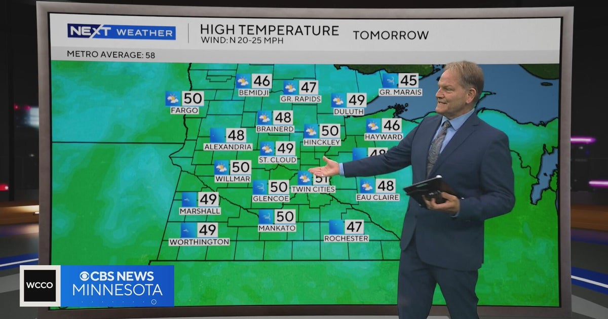 NEXT Weather | 10 p.m. weather report for Oct. 15, 2026
CBS News NEXT Weather | 10 p.m. weather report for Oct. 15, 2026 NEXT Weather | 6 p.m. weather report for Oct. 15, 2026 Summit Brewing Company announces a new lender has taken over its loans Minnesota man dies after…
-
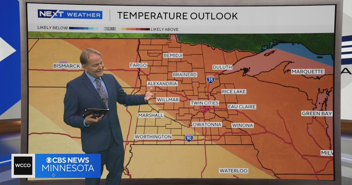 NEXT Weather | 6 p.m. weather report for Oct. 15, 2026
CBS News NEXT Weather | 6 p.m. weather report for Oct. 15, 2026 NEXT Weather: 5 p.m. report on Oct. 15, 2026 Minnesota bishop keeps faith through lung cancer diagnosis Small Minnesota school mourns deaths of 3 current…
-
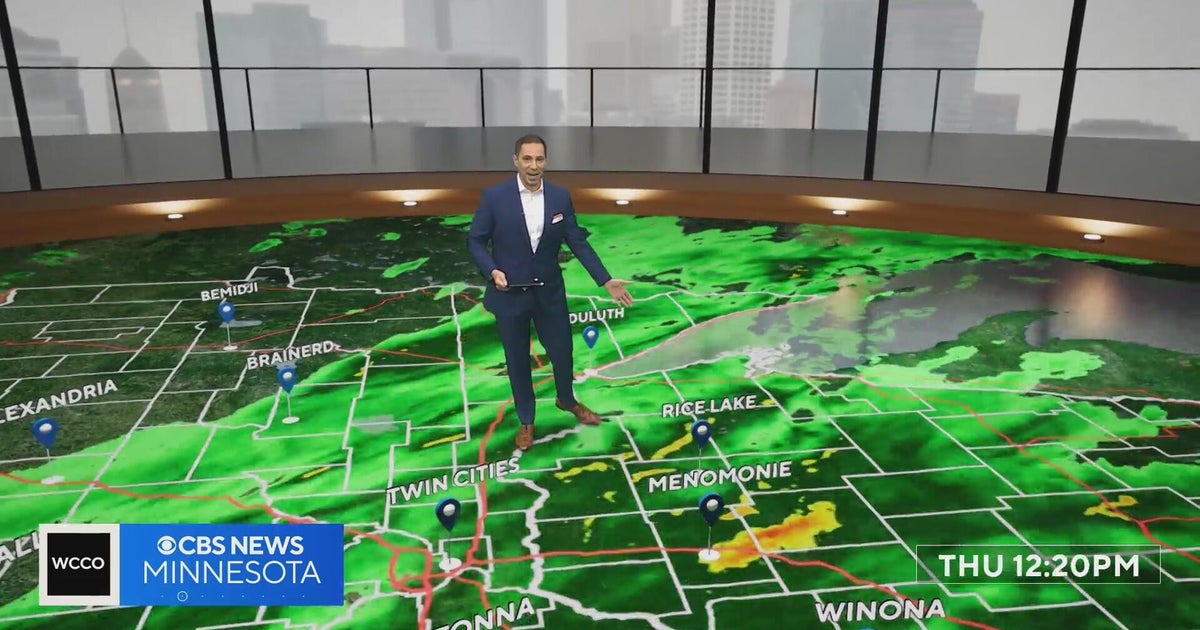 Freeze watch covers much of Minnesota for Friday night into Saturday morning | Oct. 15, 2026
The watch covers counties shaded in blue on the forecast map and could be upgraded to a frost advisory or freeze warning. The Twin Cities core is likely to see lows of 32 to 35 degrees, and outlying areas, including…
-
 NEXT Weather: Noon report for Minnesota on Oct. 15, 2026
CBS News NEXT Weather: Noon report for Minnesota on Oct. 15, 2026 Minnesota company focuses on creating opportunity for farmers in Philippines WCCO’s Shayla Reaves, husband Leonard Searcy compete as American Heart…
- Rain expected to clear up for a beautiful weekend!
Showers will continue to move through today, but skies will clear by the weekend and into next week. AFTERNOON/TONIGHT: This afternoon we will continue to see rain showers across much of the region. The rain will break…
-
 Rain moves back into the Northland today, cool and windy conditions return tomorrow with returning sunshine
A potent system will bring rain showers to the region today with cool and windy weather following into Friday Synopsis: Widespread rain showers will move back into the Northland today as a couple of systems move toward…
-
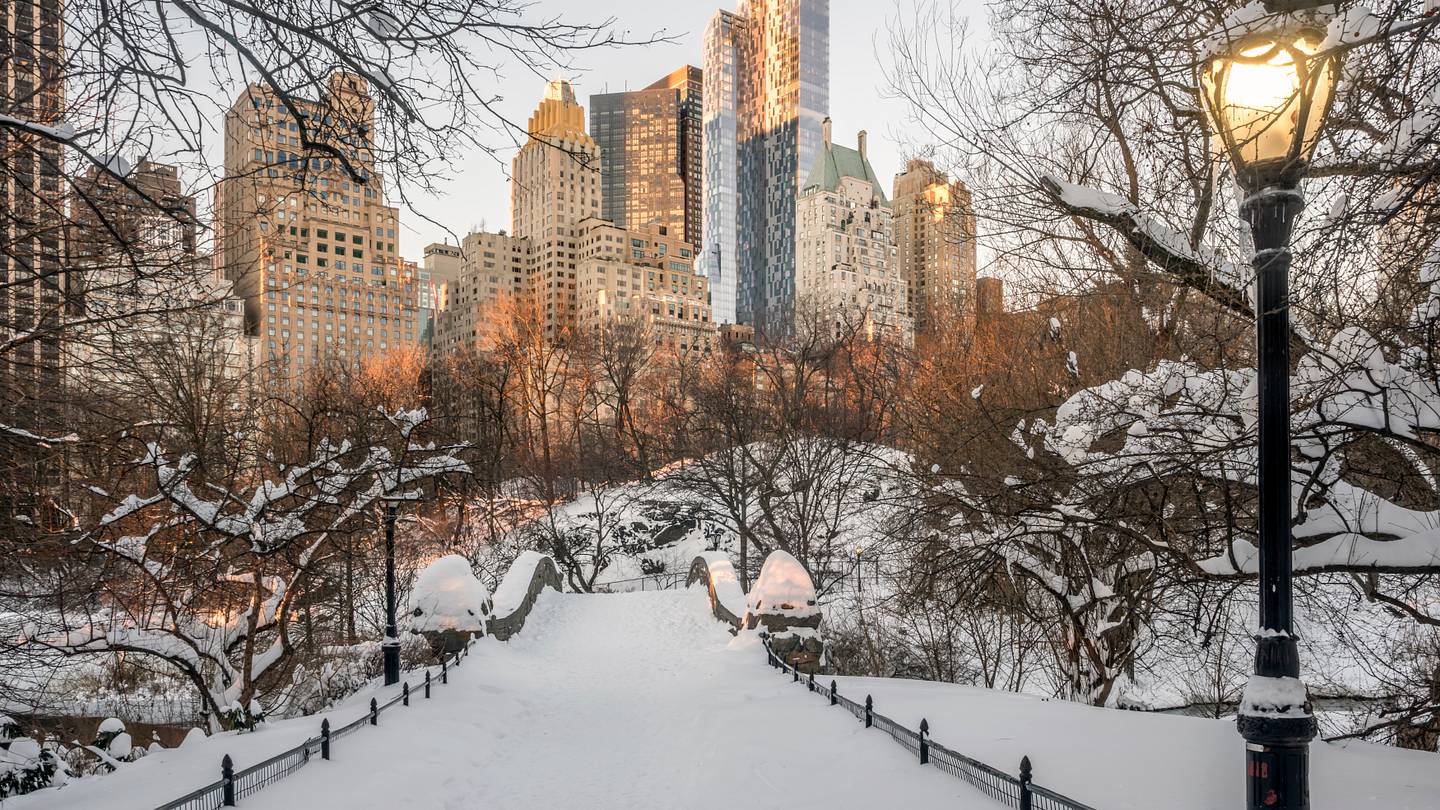 How Likely Is Your State to Have a White Christmas in 2026?
With only 10 Sundays left until Christmas, cities across the U.S. are already getting into the holiday spirit: stringing lights on trees, opening ice rinks, and rummaging through last year’s decorations as they prepare…
Air quality
Air quality is satisfactory, and air pollution poses little or no risk.
Forecast
- WedGood (33)
- ThuGood
- FriGood
Duluth Area, MN reporting area · 54 min ago. Data from AirNow (EPA and its state, local and tribal partners); preliminary and subject to change.
Sun & moon
Almanac
MonthlyDuluth Area, records since 1874. Normals 1991–2020. Data from NOAA's Regional Climate Centers (ACIS).
Nearby
- Superior 5 km
- Cloquet 29 km
- Hermantown 12 km
- Two Harbors 42 km
- Proctor 11 km
- Arnold 12 km
Forecasters' discussion
From the National Weather Service office in DLH, issued 1 hr ago
Key Messages
- Above normal temperatures through Saturday.
- Next chance of rain (20-40%) is Friday afternoon into Saturday.
- Near-normal temperatures return Sunday.
Discussion
Issued at 210 AM CDT Wed Oct 21 2026
Current Conditions/Today:
Low pressure is moving across northern Ontario this morning with a cold front trailing into northern MN. Radar returns show some weak echoes across northern MN but with the dry air in the low levels we don't anticipate any of this activity to make it to the surface. The frontal boundary will march slowly across the Northland today with winds turning from southerly to northerly with its passage. High pressure will build in behind the boundary with cloud cover largely clearing out by mid day. This will allow ample time for temperatures to recover with another warm day expected as afternoon high temperatures climb into the 60s and low 70s. Overnight, radiational cooling paired with lightly mixed winds and low level moisture could lead to areas of fog developing (30-50% chance).
Tomorrow:
Transient surface high pressure will drift eastward across the region Thursday as an upper-level ridge builds over the northern Plains and Canadian Prairies. Temperatures will remain well above normal as winds turn southerly. Lows Thursday morning will range from the low 30s to around 40 degrees. Look for highs in the low 60s to low 70s, about 10-20 degrees above normal. Temps will be cooler for portions of the North Shore and Arrowhead due to on-shore flow. Those readings will be 5-10 degrees above normal with highs in the middle 50s to low 60s.
Friday through Sunday Night:
Aviation
Issued at 1230 AM CDT Wed Oct 21 2026
A weak cold front is advancing in from the northwest this morning. Radar is showing some weak echoes associated with this boundary but not expecting any precipitation at the surface. Mid and upper level clouds will clear out through the morning hours as high pressure builds in behind the boundary. Expect winds to be light and out of the north as the behind the front. Additionally, northern MN still has a few more hours under the influence of a low level wind shear at the start of the TAF period.
Marine
Issued at 210 AM CDT Wed Oct 21 2026
Southwest winds through the day around 5 to 10 knots. A front will pass over the Lake switching winds to out of the northeast tonight. Winds will continue to be on the light side until late Friday when southerly winds ramp up and could lead to hazardous boating conditions for small vessels.
For the open water discussion, refer to the NWS Marquette Area Forecast Discussion at weather.gov/mqt.
Forecasts, observations and alerts in the United States come from the National Weather Service (NOAA); radar from NOAA's Multi-Radar Multi-Sensor system; satellite imagery from NASA's Global Imagery Browse Services (GIBS) and NOAA's GOES satellites; the map from the U.S. Geological Survey's National Map; air quality from AirNow (EPA and its partners); hurricane information from the National Hurricane Center; climate normals and records from NOAA's Regional Climate Centers (ACIS). Forecasts outside the United States and the UV index: MET Norway (CC BY 4.0); observations outside the U.S.: airport reports via NOAA's Aviation Weather Center. Place names: GeoNames (CC BY 4.0). Data are copied on a schedule and may lag the sources; for warnings that affect your safety, follow your local National Weather Service office and emergency officials. Weather news is drawn from the 4Search index and reflects what the press published. Terms of use.