Install
Racine, WI 53407 Weather
Current conditions
Forecast for this hour (no station report in the last two hours)
Forecast
10-day-
Thursday
Patchy fog before 9am. Sunny, with a high near 66. Northeast wind around 5 mph.
-
Thursday Night
Partly cloudy, with a low around 49. East wind 0 to 5 mph.
-
Friday
Mostly sunny, with a high near 63. Southeast wind 5 to 10 mph.
National Weather Service forecast updated 14 hrs ago.
Hourly
Hourly forecast- Now62°
- 6 PM59°
- 7 PM57°
- 8 PM56°
- 9 PM56°
- 10 PM55°
- 11 PM55°
- Fri12 AM55°
- 1 AM54°
- 2 AM54°
- 3 AM53°
- 4 AM53°
- 5 AM52°
- 6 AM51°
- 7 AM51°
- 8 AM52°
- 9 AM54°
- 10 AM57°
- 11 AM59°
- 12 PM61°
- 1 PM61°
- 2 PM62°
- 3 PM61°
- 4 PM61°
10-day forecast
Details- TonightOct 21Patchy Fog48°
- TodayOct 22Patchy Fog then Sunny49°66°
- FriOct 23Mostly Sunny51°63°
- SatOct 24Mostly Sunny52°66°
- SunOct 25Partly Sunny51°70°
- MonOct 26Mostly Cloudy22%47°60°
- TueOct 27Slight Chance Rain Showers22%45°60°
- WedOct 28Slight Chance Rain Showers then Partly Sunny19%59°
- ThuOct 29Cloudy0.11 in39°62°
- FriOct 30Sunny35°47°
Days after the National Weather Service's seven are MET Norway's outlook, a computer model with no forecaster's review.
Radar
Full mapWeather news near Racine
More weather news-
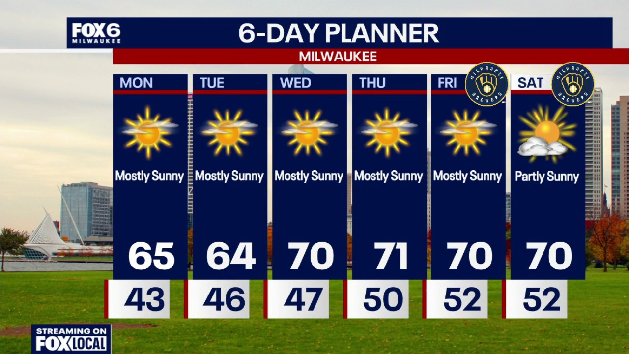 Milwaukee weather: Sunny this week, 70s return Wednesday
FOX6 News Milwaukee
-
 Milwaukee Weather: Breezy but sunny Sunday
MILWAUKEE - Forecast from FOX6 Meteorologist Lisa Michaels Today: Sunny. Breezy.High: 63°Wind: SW 10-25 Monday: Mostly sunny.High: 65°Wind: SW 5-10 Tuesday: Mostly sunny. Slightly cooler lakeside.AM Low: 42° High…
-
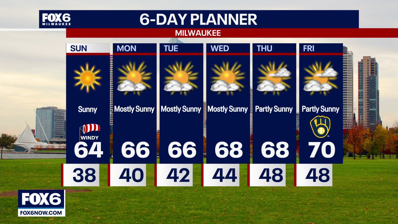 Milwaukee weather: Windy Sunday ahead
FOX6 News Milwaukee Not as cold tonight, plus breezy, so there is a very low threat of frost. Sunny, windy and warmer on Sunday, then climbing even more next week. The weather for game one of the World Series Friday…
-
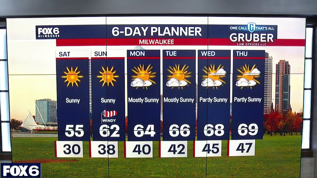 Milwaukee weather: Splendid Saturday!
FOX6 News Milwaukee Sunny Saturday with highs in the mid-50s. Increasing winds during the afternoon. Clear Saturday evening with lows inland in the upper 30s to low 40s near the lake. Isolated frost inland is possible…
- Forget the chill: Mild weather dominates the work week with plenty of sun
WAUSAU, Wis. (WSAW) - The sunglasses will be getting a workout in the next several days. Don’t forget the jacket or sweatshirt for the morning and evening hours when it will still be on the cool side. Sunday will live…
- Milwaukee Weather: Sunny and cool Saturday
MILWAUKEE - Forecast from FOX6 Meteorologist Lisa Michaels Today: Sunny. Windy in the afternoon.High: 55°Wind: SW 10-20 Tonight: Clear.Low: 38°Wind: SW 5-10 Sunday: Sunny. Breezy.High: 62°Wind: SW 10-25 Monday: Mostly…
-
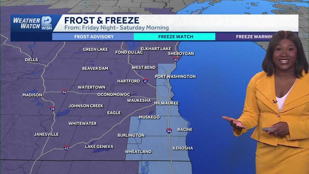 Freezing Temperatures and Frost Alerts Expected Overnight in Southeast Wisconsin
Home » Trending » Freezing Temperatures and Frost Alerts Expected Overnight in Southeast Wisconsin A chilly and windy Friday is set to transition into freezing temperatures overnight in southeast Wisconsin, with frost…
-
 Racine County Weekly Weather Forecast — October 16
RACINE COUNTY, WI — This week of October sees temperatures ranging from the 40s to the 60s. Cloudy weather lasts throughout the week. A gale watch is in effect today from 10 a.m. until 10 p.m. Racine County Eye is paid…
-
 Weekend Weather Report October 17th, 2026
Overview: Milwaukee’s Weekend Weather Report October 17th, 2026, witnesses the first frost of the season only to start warming up throughout the week to near 70 by Friday. Today: If waking up around 7 a.m., many people…
- Blustery Blast Hits Milwaukee: Lake Michigan Winds, Saturday Frost Possible
Milwaukee is facing chilly temperatures and a blustery Friday, with showers expected mainly before noon. The high is expected to reach about 53 degrees, with blustery winds and peak gusts of 35 to 40 mph. The National…
Air quality
Acceptable. Unusually sensitive people should consider limiting prolonged outdoor exertion.
Forecast
- ThuModerate
- FriModerate
- SatModerate
Kenosha-Racine Lakeside, WI reporting area · 2 hrs ago. Data from AirNow (EPA and its state, local and tribal partners); preliminary and subject to change.
Sun & moon
Almanac
MonthlyMilwaukee Area, records since 1871. Normals 1991–2020. Data from NOAA's Regional Climate Centers (ACIS).
Nearby
- Milwaukee 36 km
- Kenosha 17 km
- Waukegan 41 km
- Waukesha 48 km
- West Allis 37 km
- Wauwatosa 40 km
- New Berlin 38 km
- Brookfield 45 km
- Greenfield 32 km
- Franklin 27 km
- Menomonee Falls 57 km
- Oak Creek 18 km
Forecasters' discussion
From the National Weather Service office in MKX, issued 2 hrs ago
Key Messages
- Low clouds and fog may develop and/or move in from the north/northeast into tonight and linger into Friday morning. Eastern parts of the area would be most affected. Dense fog is possible as well.
- Above normal temperatures and dry conditions will continue into the weekend.
- Temperatures trending cooler for early next week with northeast winds. There are some chances (20 to 30 percent) for showers for the middle to later portions of next week.
Short Term
Issued 233 PM CDT Thu Oct 22 2026
Tonight through Friday night:
The main issue will be the low stratus and fog deck that may shift south southwest into eastern portions of the area into tonight and Friday morning. The current low stratus deck with some light fog is lingering over portions of northern Lake Michigan into northeast Wisconsin, and hugging the shoreline southward at Sheboygan and Port Washington. This area has mixed out somewhat with daytime heating over far northern Lake Michigan and eastern Lake Michigan. This may continue through later this afternoon with peak heating.
However, think that the more solid area of low stratus and light fog over northeast Wisconsin into the western portions of Lake Michigan probably will hold on into tonight and Friday morning. Short term models are showing this area shifting south southwest into eastern portions of the area, especially near Lake Michigan, into this evening and lingering into Friday morning. Given that high pressure well to the east will continue to bring light southeast winds, moisture off of the lake may help to solidify this area of low stratus and fog.
Dense fog is possible as well into Friday morning, given the light winds and low stratus clouds possibly sinking toward the ground under the inversion. For now, will continue to bring in these low stratus clouds and fog into eastern parts of the area into this evening and linger into Friday morning. Later shifts will need to monitor the progress of the low stratus deck and visibility drops in case any Dense Fog Advisories are needed.
Once the low clouds and fog mix out later Friday morning, another mild and dry day is expected for Friday, with middle to high clouds gradually moving into the area Friday night. Lows tonight and Friday night should be in the upper 40s southeast to lower 50s northwest. Highs Friday should reach the lower to middle 70s inland, with upper 60s closer to the lake with onshore flow.
Long Term
Issued 233 PM CDT Thu Oct 22 2026
Saturday through Thursday:
500 mb cluster analysis continues to show an anomalous ridge axis over the Great Lakes region Saturday gradually shifting eastward Sunday into Monday, with flow becoming more zonal across the region. At the surface, south to southwest winds should continue to maintain dry conditions and warm temperatures Saturday into Sunday. Highs should continue to be in the upper 60s to lower 70s each day, with a southeast lake breeze possible Saturday afternoon near the lake. Ensemble members are supportive of these values and the ensemble spreads are very small, indicating higher confidence.
Models then show a cold front slowly shifting southeast toward or through the area Sunday night or Monday, with winds shifting to the northeast behind the front later Monday into Monday night. The front may not have much moisture to work with, so any shower chances look minimal (under 15 percent) at this time. There should be some clouds that occur during this time. Temperatures should cool off Monday with the northeast winds, with highs more seasonable values in the upper 50s to middle 60s.
Ensemble members are rather mixed for shower chances through next week, as there is disagreement with the timing and placement of low pressure moving through the region. Kept NBM precipitation chances for now (20 to 30 percent) for Wednesday into Thursday, until more clarity can be found. Temperatures look to be a little above seasonal normal values.
Wood
Aviation
Issued 233 PM CDT Thu Oct 22 2026
The current low cloud deck with some light fog is lingering over portions of northern Lake Michigan into northeast Wisconsin, and hugging the shoreline southward toward Sheboygan and Port Washington. A more solid area of low clouds around 300 to 500 feet AGL and light fog of 1 to 4 miles may shift south southwest into eastern portions of the area, especially for terminals near Lake Michigan, into this evening and lingering into Friday morning. Given that high pressure well to the east will continue to bring light east to southeast winds, moisture off of the lake may help to solidify this area of low clouds and fog.
Dense fog down to one quarter mile or less is possible as well into Friday morning for terminals near Lake Michigan, given the light winds and low clouds possibly sinking toward the ground. For now, will continue to bring in these low clouds and light fog into terminals near Lake Michigan into this evening and linger into Friday morning. Later shifts will need to monitor the progress of the low clouds and visibility trends for any dense fog.
Once the low clouds and fog mix out later Friday morning, another mild and dry day is expected for Friday, with middle to high clouds gradually moving into the area Friday night. Winds will be light and southerly on Friday, with southeast winds for terminals near Lake Michigan. Light winds will be south southeast Friday night.
Wood
Forecasts, observations and alerts in the United States come from the National Weather Service (NOAA); radar from NOAA's Multi-Radar Multi-Sensor system; satellite imagery from NASA's Global Imagery Browse Services (GIBS) and NOAA's GOES satellites; the map from the U.S. Geological Survey's National Map; air quality from AirNow (EPA and its partners); hurricane information from the National Hurricane Center; climate normals and records from NOAA's Regional Climate Centers (ACIS). Forecasts outside the United States and the UV index: MET Norway (CC BY 4.0); observations outside the U.S.: airport reports via NOAA's Aviation Weather Center. Place names: GeoNames (CC BY 4.0). Data are copied on a schedule and may lag the sources; for warnings that affect your safety, follow your local National Weather Service office and emergency officials. Weather news is drawn from the 4Search index and reflects what the press published. Terms of use.