Install
Kenosha, WI 53141 Weather
Current conditions
Observed at Kenosha, Kenosha Regional Airport · 26 min ago
Forecast
10-day-
Tonight
Partly cloudy, with a low around 49. East wind 0 to 5 mph.
-
Friday
Patchy fog between 7am and 9am. Mostly sunny, with a high near 64. Southeast wind 5 to 10 mph.
-
Friday Night
Partly cloudy, with a low around 50. Southeast wind around 5 mph.
National Weather Service forecast updated 12 hrs ago.
Hourly
Hourly forecast- Now54°
- 10 PM54°
- 11 PM54°
- Fri12 AM53°
- 1 AM53°
- 2 AM53°
- 3 AM52°
- 4 AM52°
- 5 AM51°
- 6 AM51°
- 7 AM51°
- 8 AM53°
- 9 AM56°
- 10 AM60°
- 11 AM62°
- 12 PM64°
- 1 PM65°
- 2 PM66°
- 3 PM66°
- 4 PM65°
- 5 PM63°
- 6 PM60°
- 7 PM58°
- 8 PM57°
10-day forecast
Details- TodayOct 22Sunny49°66°
- FriOct 23Patchy Fog then Mostly Sunny50°64°
- SatOct 24Mostly Sunny52°67°
- SunOct 25Partly Sunny52°70°
- MonOct 26Mostly Cloudy21%49°61°
- TueOct 27Slight Chance Rain Showers21%47°60°
- WedOct 28Slight Chance Rain Showers then Partly Sunny18%47°58°
- ThuOct 29Cloudy0.08 in37°62°
- FriOct 30Sunny33°47°
- SatOct 31Partly cloudy35°52°
Days after the National Weather Service's seven are MET Norway's outlook, a computer model with no forecaster's review.
Radar
Full mapWeather news near Kenosha
More weather news-
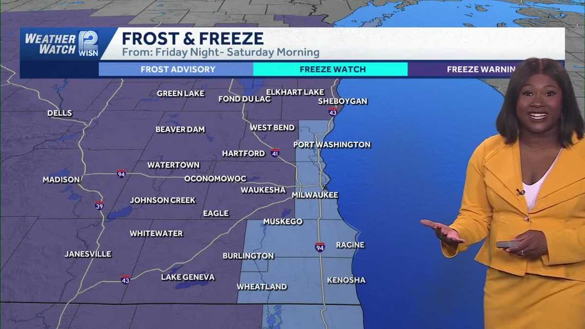 Freezing Temperatures and Frost Alerts Expected Overnight in Southeast Wisconsin
Home » Trending » Freezing Temperatures and Frost Alerts Expected Overnight in Southeast Wisconsin A chilly and windy Friday is set to transition into freezing temperatures overnight in southeast Wisconsin, with frost…
-
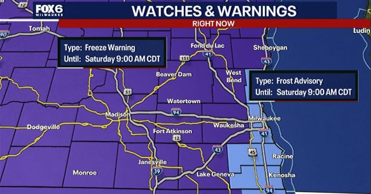 Wisconsin freeze warning: Temperatures could hit 28° Saturday
MILWAUKEE - A blast of colder air will send temperatures tumbling across southern Wisconsin overnight Friday. The National Weather Service has issued a Freeze Warning for much of the region and a Frost Advisory for…
-
 Showery and windy Friday, then the first frost and freeze of the season arrives Saturday morning
Thursday was a wet and dreary day across southeast Wisconsin. Many areas saw a long stretch of steady rain during the late morning through the afternoon. The showers continued through Thursday evening into early Friday…
-
 ‘Coldest night of the season:' Frost advisory, freeze warning issued for parts of Chicago area
Temps drop below the freezing mark for parts of the area Saturday morning Here it comes, Chicago: Frost advisories and freeze warnings were issued for parts of the area, with temperatures dropping into the 30s overnight…
-
 Southeastern Wisconsin Weather - Mild Through the Weekend
High-pressure will keep the nice weather around this weekend — keeping highs in the upper 60s Saturday/Sunday. The weather looks great for World Series Games 1 & 2 — with 60s at tailgating and upper 50s by first pitch…
-
 Fog continues to linger over Northeast Wisconsin
by Pete Petoniak, Fox 11 Director of Meteorology (WLUK) -- Areas of fog are expected again Thursday morning. In some areas, visibility could drop to a quarter mile. While today starts foggy, it will turn mostly sunny in…
-
 Southeast Wisconsin Weather: Mild stretch continues through the World Series weekend
The nice weather continues into the weekend — including for the first two games of the World Series! Highs will be in the 60s both days, but temps will drop into the 50s around first pitch. The next chance for rain…
-
 Delaney Boles 8 p.m. Tuesday - Dry and above-average temperatures expected for southern Wisconsin this week
WMTV 15 NEWS Delaney Boles 8 p.m. Tuesday - Dry and above-average temperatures expected for southern Wisconsin this week 15+ First Alert Weather Tuesday 8:00 PM - Staying Dry and Pleasant Through the Week 9:15 a.m…
-
 Wisconsin 360 Top stories for Tuesday, Oct. 20th: Early voting begins Tuesday
WEAU WEAU Weather @ 12 - Our warm October continues this week with more sunny days ahead INTERVIEW: Shows Coming Up at The Pablo Center LIVE @6:45 - Haunted Hillside Funds Dunn Co. Humane Society LIVE @6:15 - Haunted…
-
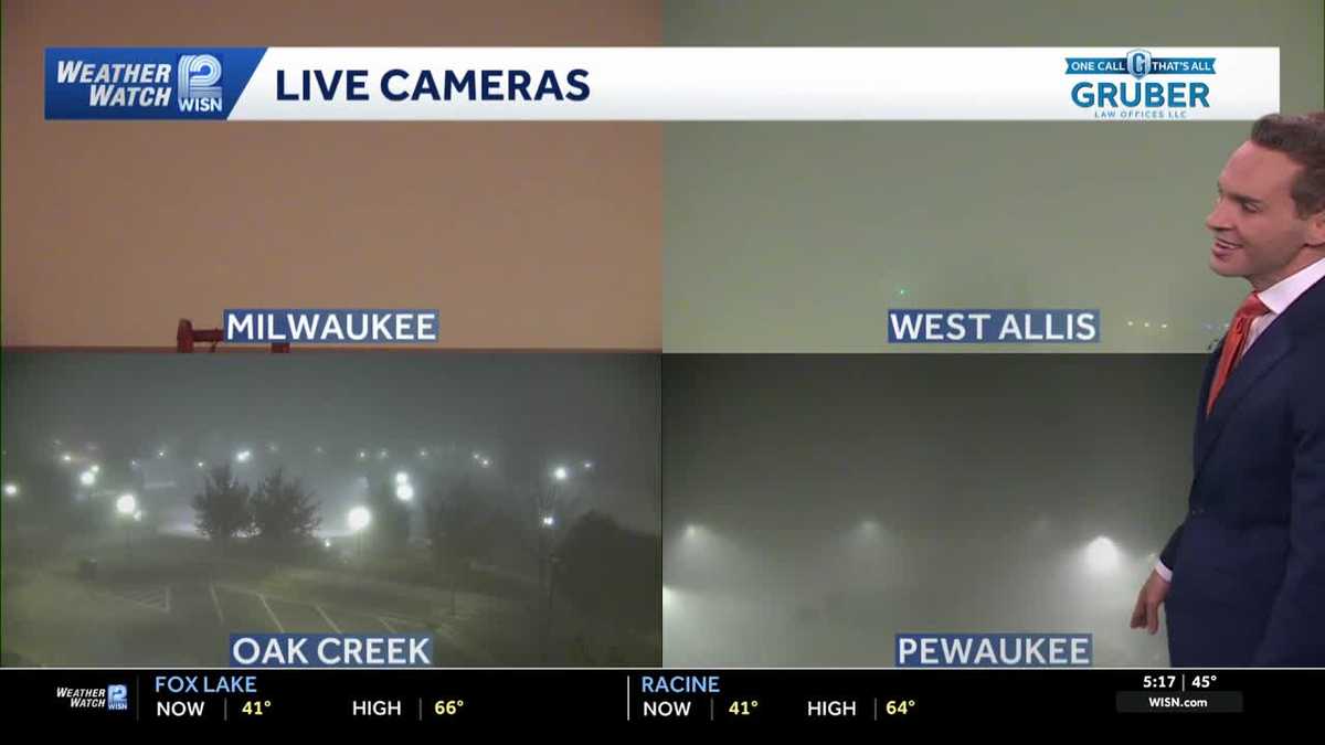 Impact Day: Dense fog in southeast Wisconsin
Dense fog will give way to sunny and comfortable conditions Tuesday across southeast Wisconsin. Areas of dense fog are creating visibility problems across southeastern Wisconsin Tuesday morning, especially for drivers…
Air quality
Acceptable. Unusually sensitive people should consider limiting prolonged outdoor exertion.
Forecast
- ThuModerate
- FriModerate
- SatModerate
Kenosha-Racine Lakeside, WI reporting area · 1 hr ago. Data from AirNow (EPA and its state, local and tribal partners); preliminary and subject to change.
Sun & moon
Almanac
MonthlyRacine Wwtp, records since 1896. Normals 1991–2020. Data from NOAA's Regional Climate Centers (ACIS).
Nearby
- Milwaukee 51 km
- Waukegan 25 km
- Racine 16 km
- Arlington Heights 57 km
- Waukesha 58 km
- Palatine 56 km
- West Allis 50 km
- Mount Prospect 58 km
- Wauwatosa 54 km
- Glenview 57 km
- Buffalo Grove 50 km
- Crystal Lake 56 km
Forecasters' discussion
From the National Weather Service office in MKX, issued 2 hrs ago
Key Messages
- Low clouds and fog will continue this evening into overnight hours across the eastern forecast area. Localized dense fog is possible.
- Above normal temperatures and dry conditions will continue into the weekend.
- Temperatures trending cooler for early next week with northeast winds. There are some chances (20 to 30 percent) for showers for the middle to later portions of next week.
Update
Issued 709 PM CDT Thu Oct 22 2026
Low clouds and areas of fog have moved onshore from Milwaukee northward over the last couple hours. Most locations aren't seeing much in the way of fog, though there has been a persistent patch of dense fog in the Milwaukee area the last hour or so. Given upstream webcams and observations, still expecting some improvement in visibility in Milwaukee over the next hour or two. Will hold off on a dense fog advisory for now given the local nature of the dense fog and expectation of a fairly short duration.
The low clouds and patchy fog will gradually expand south and west this evening into the overnight hours, likely not reaching as far as Madison. Otherwise, quiet weather is expected tonight, with temps a few degrees milder than last night.
DDV
Short Term
Issued 233 PM CDT Thu Oct 22 2026
Tonight through Friday night:
The main issue will be the low stratus and fog deck that may shift south southwest into eastern portions of the area into tonight and Friday morning. The current low stratus deck with some light fog is lingering over portions of northern Lake Michigan into northeast Wisconsin, and hugging the shoreline southward at Sheboygan and Port Washington. This area has mixed out somewhat with daytime heating over far northern Lake Michigan and eastern Lake Michigan. This may continue through later this afternoon with peak heating.
However, think that the more solid area of low stratus and light fog over northeast Wisconsin into the western portions of Lake Michigan probably will hold on into tonight and Friday morning. Short term models are showing this area shifting south southwest into eastern portions of the area, especially near Lake Michigan, into this evening and lingering into Friday morning. Given that high pressure well to the east will continue to bring light southeast winds, moisture off of the lake may help to solidify this area of low stratus and fog.
Dense fog is possible as well into Friday morning, given the light winds and low stratus clouds possibly sinking toward the ground under the inversion. For now, will continue to bring in these low stratus clouds and fog into eastern parts of the area into this evening and linger into Friday morning. Later shifts will need to monitor the progress of the low stratus deck and visibility drops in case any Dense Fog Advisories are needed.
Once the low clouds and fog mix out later Friday morning, another mild and dry day is expected for Friday, with middle to high clouds gradually moving into the area Friday night. Lows tonight and Friday night should be in the upper 40s southeast to lower 50s northwest. Highs Friday should reach the lower to middle 70s inland, with upper 60s closer to the lake with onshore flow.
Long Term
Issued 233 PM CDT Thu Oct 22 2026
Saturday through Thursday:
500 mb cluster analysis continues to show an anomalous ridge axis over the Great Lakes region Saturday gradually shifting eastward Sunday into Monday, with flow becoming more zonal across the region. At the surface, south to southwest winds should continue to maintain dry conditions and warm temperatures Saturday into Sunday. Highs should continue to be in the upper 60s to lower 70s each day, with a southeast lake breeze possible Saturday afternoon near the lake. Ensemble members are supportive of these values and the ensemble spreads are very small, indicating higher confidence.
Models then show a cold front slowly shifting southeast toward or through the area Sunday night or Monday, with winds shifting to the northeast behind the front later Monday into Monday night. The front may not have much moisture to work with, so any shower chances look minimal (under 15 percent) at this time. There should be some clouds that occur during this time. Temperatures should cool off Monday with the northeast winds, with highs more seasonable values in the upper 50s to middle 60s.
Ensemble members are rather mixed for shower chances through next week, as there is disagreement with the timing and placement of low pressure moving through the region. Kept NBM precipitation chances for now (20 to 30 percent) for Wednesday into Thursday, until more clarity can be found. Temperatures look to be a little above seasonal normal values.
Wood
Forecasts, observations and alerts in the United States come from the National Weather Service (NOAA); radar from NOAA's Multi-Radar Multi-Sensor system; satellite imagery from NASA's Global Imagery Browse Services (GIBS) and NOAA's GOES satellites; the map from the U.S. Geological Survey's National Map; air quality from AirNow (EPA and its partners); hurricane information from the National Hurricane Center; climate normals and records from NOAA's Regional Climate Centers (ACIS). Forecasts outside the United States and the UV index: MET Norway (CC BY 4.0); observations outside the U.S.: airport reports via NOAA's Aviation Weather Center. Place names: GeoNames (CC BY 4.0). Data are copied on a schedule and may lag the sources; for warnings that affect your safety, follow your local National Weather Service office and emergency officials. Weather news is drawn from the 4Search index and reflects what the press published. Terms of use.