Install
Wyandotte, MI 48192 Weather
Current conditions
Observed at Detroit/Grosse Ile, Grosse Ile Airport · 55 min ago
Forecast
10-day-
Tonight
Widespread fog after 11pm. Partly cloudy, with a low around 47. Northeast wind around 3 mph.
-
Friday
Widespread fog before 9am. Mostly sunny, with a high near 66. East northeast wind around 5 mph.
-
Friday Night
Patchy fog after 2am. Mostly clear, with a low around 45. East wind around 6 mph.
National Weather Service forecast updated 8 hrs ago.
Hourly
Hourly forecast- Now50°
- 2 AM49°
- 3 AM48°
- 4 AM48°
- 5 AM48°
- 6 AM47°
- 7 AM47°
- 8 AM47°
- 9 AM49°
- 10 AM53°
- 11 AM56°
- 12 PM60°
- 1 PM63°
- 2 PM64°
- 3 PM65°
- 4 PM66°
- 5 PM65°
- 6 PM64°
- 7 PM61°
- 8 PM56°
- 9 PM54°
- 10 PM52°
- 11 PM51°
- Sat12 AM49°
10-day forecast
Details- TonightOct 22Widespread Fog47°
- TodayOct 23Widespread Fog then Mostly Sunny45°66°
- SatOct 24Patchy Fog then Sunny45°66°
- SunOct 25Patchy Fog then Mostly Sunny48°68°
- MonOct 26Patchy Fog then Partly Sunny46°67°
- TueOct 27Partly Sunny44°60°
- WedOct 28Partly Sunny12%47°63°
- ThuOct 29Slight Chance Light Rain15%66°
- FriOct 30Partly cloudy37°51°
- SatOct 31Sunny34°51°
Days after the National Weather Service's seven are MET Norway's outlook, a computer model with no forecaster's review.
Radar
Full mapWeather news near Wyandotte
More weather news-
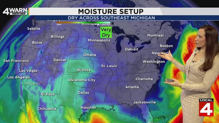 Beautiful fall weather continues this week in Metro Detroit
4Warn Weather - As our next cold front weakens and fizzles out, high pressure will keep Southeast Michigan seeing sunshine and warm afternoon temperatures. Tonight’s overnight temperatures will be close to where they…
-
 Sunshine and Mild Temperatures Continue Across Southeast Michigan
ClickOnDetroit | WDIV Local 4 Trader Joe’s is expanding nationwide, including new Metro Detroit store Sunshine and Mild Temperatures Continue Across Southeast Michigan Oakland County Little League umpire shared child…
-
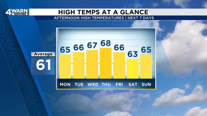 More sunshine and warmer temperatures across Metro Detroit this week
4Warn Weather - Southeast Michigan has a beautiful stretch of Fall weather this week! High pressure will keep skies mainly clear as temperatures gradually warm into the midweek. Skies are clear this evening with winds…
- Sunny Sunday In Detroit Kicks Off Rare Dry, Mild Week Ahead
The National Weather Service in Detroit/Pontiac expects southwest winds of 6 to 12 mph Sunday, with gusts reaching 22 mph, according to the National Weather Service. Rain is not expected, making for comfortable…
-
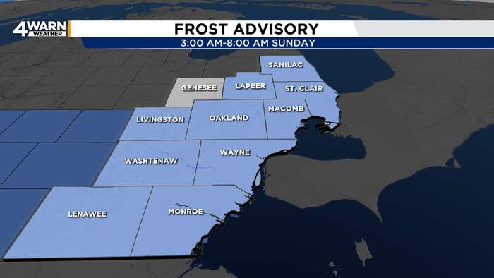 A frosty Sunday morning ahead of a warm and sunny afternoon
4Warn Weather - It’ll be another cool night across Southeast Michigan with the possibility of frost. We’ll be comfortable in the afternoon with sunshine, and have more beautiful days on tap this week as high pressure…
-
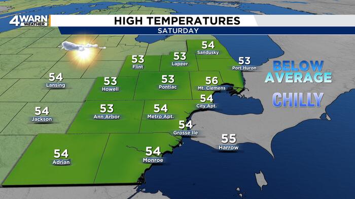 Frosty start in Metro Detroit gives way to sunshine, warmer days ahead
4Warn Weather — Grab a jacket before heading out this Sweetest Day. Sunshine will brighten the weekend, but temperatures will take some time to recover from a frosty start. The good news for outdoor plans: Dry weather…
-
 When do clocks fall back? 2026 daylight saving time start and end
Daylight saving time will end at 2 a.m. Sunday, Nov. 1, 2026, when clocks turn back one hour. The annual “fall back” means an extra hour of sleep and a return to standard time. It also means an earlier sunset, with…
-
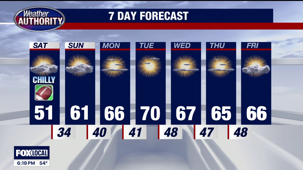 Frost advisory in Southeast Michigan
FOX 2 Detroit Temps could dip as low as 33 degrees from 3 a.m. - 8 a.m. on Saturday, with the potential to result in frost formation in the early morning hours of Saturday, Oct. 17.
-
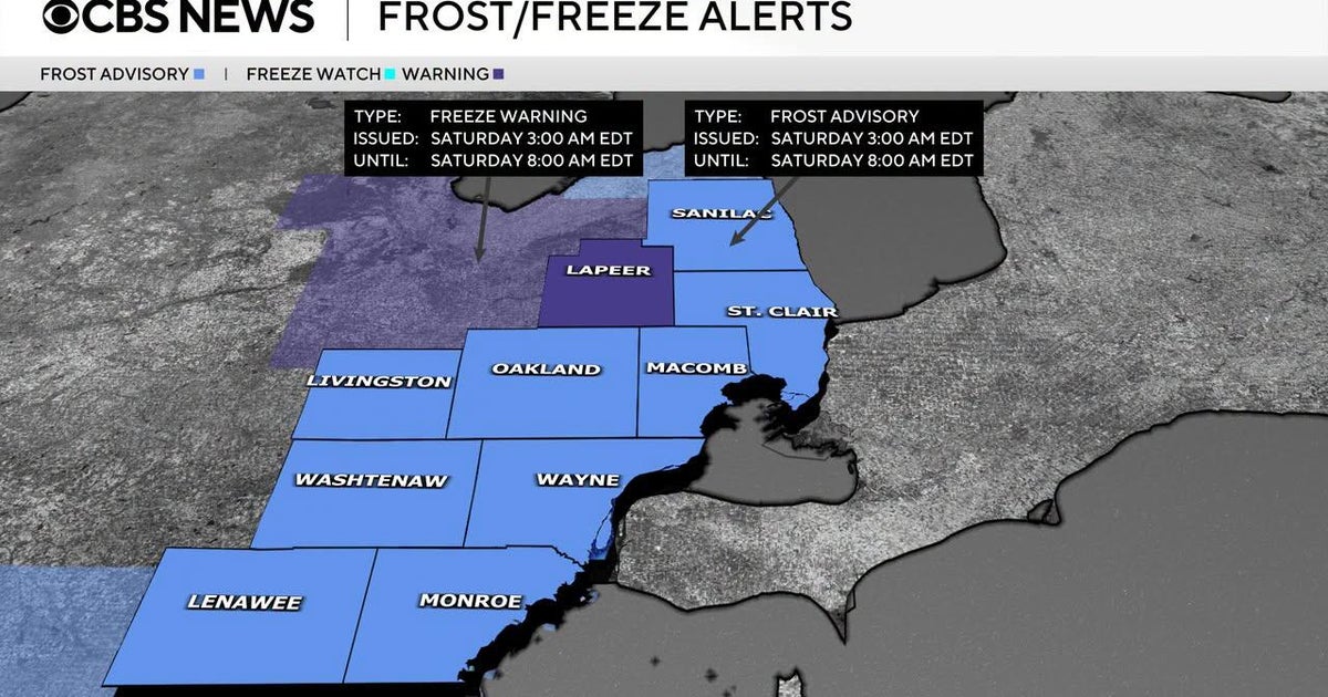 Frost advisory issued for Southeast Michigan early Saturday morning
October 16, 2026 / 3:30 PM EDT / CBS Detroit If you are holding onto the last of your outdoor plants, it is time to take action on Friday night. The National Weather Service has issued a combination of freeze warnings…
-
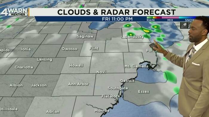 Metro Detroit weather forecast Oct. 16, 2026 -- Noon Update
ClickOnDetroit | WDIV Local 4 Metro Detroit weather forecast Oct. 16, 2026 -- Noon Update Local 4 News at Noon -- Oct. 16, 2026 New exhibit highlights 100-year history of America's Thanksgiving Parade Detroit Pistons…
Air quality
Acceptable. Unusually sensitive people should consider limiting prolonged outdoor exertion.
Forecast
- FriModerate
Southeast, MI reporting area · 1 hr ago. Data from AirNow (EPA and its state, local and tribal partners); preliminary and subject to change.
Sun & moon
Almanac
MonthlyDetroit Area, records since 1874. Normals 1991–2020. Data from NOAA's Regional Climate Centers (ACIS).
Nearby
- Detroit 17 km
- Windsor 16 km
- Warren 34 km
- Sterling Heights 43 km
- Ann Arbor 48 km
- Clinton Township 47 km
- Dearborn 13 km
- Livonia 24 km
- Canton 29 km
- Troy 44 km
- Westland 23 km
- Farmington Hills 36 km
Forecasters' discussion
From the National Weather Service office in DTX, issued 1 hr ago
Key Messages
- The potential exists for dense fog development each of the daybreak periods Friday through Monday. Any fog that will develop is expected to dissipate or lift by 10 am.
- Mild and dry through the middle of next week.
Dtw Threshold Probabilities
* Low for cigs/vsby to fall below 200 ft and/or 1/2SM late tonight.
Prev Discussion
Issued at 244 PM EDT Thu Oct 22 2026
DISCUSSION...
An anomalous upper level ridge advancing into central sections of far northern Canada will open the door to the rapid amplification of an Omega Block over the central Contiguous United States for the end of the work week. Upper level high pressure will then stall out and impact the forecast area through Monday of next week. Quite the structure with H3 heights reaching 588 dam over portions of the Lower Peninsula this weekend and +13C 850mb temperatures advecting well into Hudson Bay. Ideal mid Autumn conditions with high temperatures reaching the middle to upper 60s, 5 to 10 degrees above normal, and lows falling into the 40s.
The only weather of significance the next few days will be br and fog chances during the daybreak periods. A better setup for fog will be Friday morning with onshore flow advecting a marine airmass inland. The relatively warm lakes will offer higher dewpoints that combined with weak flow will provide for saturation potential. Surface condensation pressure deficits support fog beginning in the tip of the Thumb tonight before expanding southeastward through all of the area. The fog potential for Saturday morning looks to be the greatest near Lake Erie before expanding westward. Could see a scenario where the Detroit urban heat islands remain just warm enough to dissuade the fog formation. Persistent light easterly wind should bring more fog chances Sunday morning. Will likely add areas of fog in the forecast for tonight/Friday morning and maintain the patchy mention this weekend.
Models suggest the amplitude of the omega will shear off or flatten by Monday. Indications are that a weak cold front could push southward invof Southeast Michigan, however, current data suggests a dominance of anticyclonic flow trajectories that will not favor large scale synoptic ascent. Preference is for a dry forecast through next Wednesday.
MARINE...
Dtx Watches
MI...None. Lake Huron...None. Lake St Clair...None. Michigan waters of Lake Erie...None.
Forecasts, observations and alerts in the United States come from the National Weather Service (NOAA); radar from NOAA's Multi-Radar Multi-Sensor system; satellite imagery from NASA's Global Imagery Browse Services (GIBS) and NOAA's GOES satellites; the map from the U.S. Geological Survey's National Map; air quality from AirNow (EPA and its partners); hurricane information from the National Hurricane Center; climate normals and records from NOAA's Regional Climate Centers (ACIS). Forecasts outside the United States and the UV index: MET Norway (CC BY 4.0); observations outside the U.S.: airport reports via NOAA's Aviation Weather Center. Place names: GeoNames (CC BY 4.0). Data are copied on a schedule and may lag the sources; for warnings that affect your safety, follow your local National Weather Service office and emergency officials. Weather news is drawn from the 4Search index and reflects what the press published. Terms of use.