Install
Elkhart, IN 46516 Weather
Current conditions
Observed at Elkhart Municipal · 49 min ago
Forecast
10-day-
Tonight
Mostly clear, with a low around 41. East wind around 0 mph.
-
Wednesday
Mostly sunny, with a high near 70. Southeast wind around 0 mph.
-
Wednesday Night
Mostly clear, with a low around 42. North wind around 0 mph.
National Weather Service forecast updated 8 hrs ago.
Hourly
Hourly forecast- Now64°
- 7 PM60°
- 8 PM56°
- 9 PM54°
- 10 PM52°
- 11 PM50°
- Wed12 AM48°
- 1 AM47°
- 2 AM45°
- 3 AM44°
- 4 AM43°
- 5 AM42°
- 6 AM42°
- 7 AM41°
- 8 AM41°
- 9 AM43°
- 10 AM47°
- 11 AM51°
- 12 PM56°
- 1 PM61°
- 2 PM65°
- 3 PM68°
- 4 PM69°
- 5 PM68°
10-day forecast
Details- TodayOct 20Sunny41°70°
- WedOct 21Mostly Sunny42°70°
- ThuOct 22Sunny43°70°
- FriOct 23Sunny42°66°
- SatOct 24Mostly Sunny47°67°
- SunOct 25Mostly Sunny48°70°
- MonOct 26Mostly Sunny13%44°66°
- TueOct 27Partly cloudy40°53°
- WedOct 28Cloudy40°51°
- ThuOct 29Mostly sunny42°56°
Days after the National Weather Service's seven are MET Norway's outlook, a computer model with no forecaster's review.
Radar
Full mapWeather news near Elkhart
More weather news-
 FROSTY morning for Michiana
ABC57 News in South Bend, Ind. covers all of Michiana including St. Joseph, Elkhart, Kosciusko, LaPorte and Marshall counties in Indiana and Berrien, Cass, Van Buren and St. Joseph counties in Mich. FROSTY morning for…
-
 Cold mornings, cool days this weekend
ABC57 News in South Bend, Ind. covers all of Michiana including St. Joseph, Elkhart, Kosciusko, LaPorte and Marshall counties in Indiana and Berrien, Cass, Van Buren and St. Joseph counties in Mich. Cold mornings, cool…
-
 Dangerous Freeze Watch for Parts of Indiana and Michigan as Temperatures Drop
A Freeze Watch is in effect for northern, east central and southeast Indiana from late Saturday night through Sunday morning, with lows as cold as 31 degrees possible. A Frost Advisory comes first, for parts of northern…
-
 Storms Tonight, Then Much Cooler and Windy Friday With Frost Chances Ahead for Michiana
WNDU Storms Tonight, Then Much Cooler and Windy Friday With Frost Chances Ahead for Michiana Innova Federal Credit Union marks International Credit Union Day YWCA leads awareness efforts during Domestic Violence…
-
 Farmer’s Almanac Drops Thanksgiving Forecast and If It’s Correct, Folks in Indiana & Kentucky Should Get Their Snow Shovels Ready
In the past several years, Thanksgiving weather has been pretty warm. I don't recall the last time I saw snow on Thanksgiving in the Tri-State. We even spent Thanksgiving outside like a picnic a few years ago because it…
-
 Frost in Indiana could impact corn yields in isolated areas
Purdue Extension’s corn specialist says the state’s first frost of the season could have an impact on corn yields. Dan Quinn tells Brownfield, “If the crop hasn’t reached maturity yet, then we have impacts from both…
-
 Warming Trend Arrives Across Central Indiana This Week
A warming trend is taking hold today, with temperatures rising steadily over the coming days. The 13Weather Blog breaks down how the change will shape conditions across the Indianapolis area. Expect milder afternoons…
-
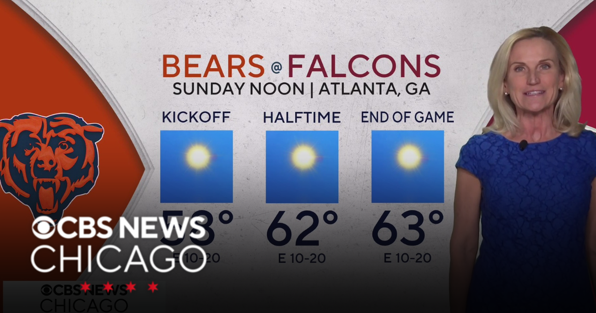 Overnight Frost Advisory for parts of Illinois, NW Indiana
CBS News Colorado 10pm Saturday CBS News Detroit Weekend 11pm CBS News Los Angeles Weekend 9pm CBS News Philadelphia Weekend 11pm KDKA News Weekend 11pm CBS News Texas Weekend 10pm
-
 Dangerous Freeze Warnings for 38 Counties in Indiana as Temperatures Plummet
Freeze Warnings are in effect for 38 counties in Indiana from early Sunday morning, with lows as cold as 30 degrees expected. The warnings cover central, northern, east central and southeast Indiana. Three National…
-
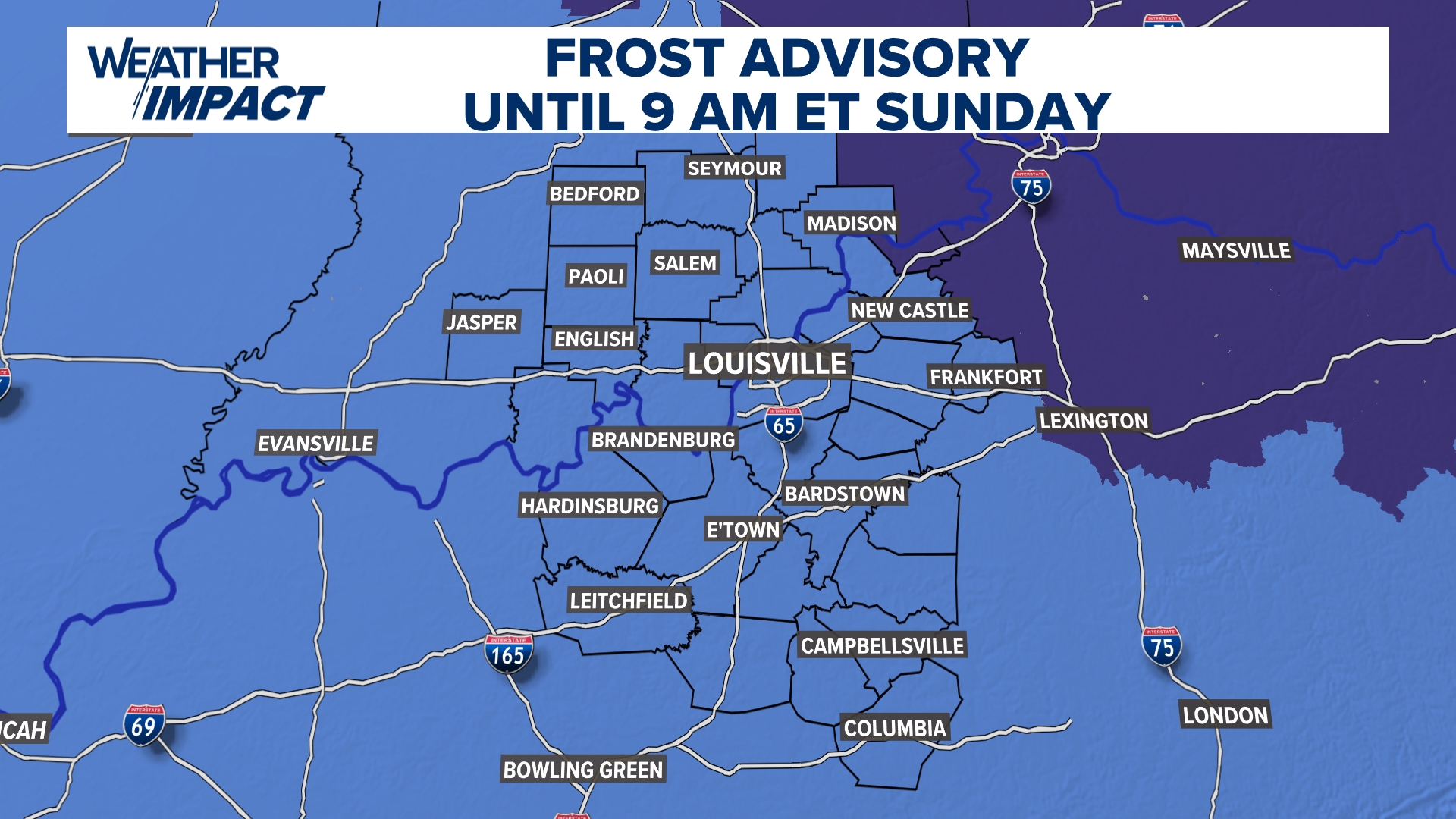 Frost Advisory Saturday night for Kentucky, southern Indiana
WHAS11 Frost Advisory Saturday night for Kentucky, southern Indiana Cover any sensitive vegetation in a cloth and bring in potted plants. The last time Louisville has a freeze was March 18, 2026. The normal first frost…
Air quality
Air quality is satisfactory, and air pollution poses little or no risk.
Forecast
- TueModerate
- WedModerate
South Bend, IN reporting area · 1 hr ago. Data from AirNow (EPA and its state, local and tribal partners); preliminary and subject to change.
Sun & moon
Almanac
MonthlySouth Bend Ap, records since 1893. Normals 1991–2020. Data from NOAA's Regional Climate Centers (ACIS).
Nearby
- South Bend 24 km
- Mishawaka 16 km
- Goshen 15 km
- Granger 15 km
- Warsaw 50 km
- Niles 30 km
- Sturgis 47 km
- Plymouth 47 km
- Three Rivers 40 km
- Nappanee 26 km
- Dunlap 5 km
- Notre Dame 23 km
Forecasters' discussion
From the National Weather Service office in IWX, issued 6 hrs ago
Key Messages
- Dry and pleasant weather persists through the entire week with highs either side of 70, lows in the 40s, and no rain until next week at the earliest.
Discussion
Issued at 126 AM EDT Tue Oct 20 2026
Upper flow across area east of the Rockies is relatively weak as mid level ridging and a couple surface high pressure centers pair to keep the area dry. As the first high pressure center moves into southeast Canada from the Northern Great Lakes, a backdoor cold front sets up east of MI and north of OH, which may be able to advect marine air into our east potentially setting them up for morning fog Wed AM. Another northern stream wave and trailing surface high pass by to the north of the area Wed through Thu time frame. Because the front washes out across the area Wed night, minimal lowering of temps occurs for Friday (from mid 60s to low 70s Thu to low to upper 60s Fri). With the mid level ridging still staunchly in place across the Plains States and Mississippi Valley, troughing in the west struggles to advance eastward and surface lows take a north-northeasterly track into Southcentral Canada. So, it could be until the first part of the next work week before we get our next rain into the area. There are hints that the mid level ridge finally pushes eastward at this time and this helps some combination of a diving wave within the northern stream and some southern stream moisture to make it up this way to provide rain.
Aviation
Issued at 1152 AM EDT Tue Oct 20 2026
Continuation of VFR conditions and light winds as high pressure dominates.
Iwx Watches
IN...None. OH...None. MI...None. MARINE...None.
Forecasts, observations and alerts in the United States come from the National Weather Service (NOAA); radar from NOAA's Multi-Radar Multi-Sensor system; satellite imagery from NASA's Global Imagery Browse Services (GIBS) and NOAA's GOES satellites; the map from the U.S. Geological Survey's National Map; air quality from AirNow (EPA and its partners); hurricane information from the National Hurricane Center; climate normals and records from NOAA's Regional Climate Centers (ACIS). Forecasts outside the United States and the UV index: MET Norway (CC BY 4.0); observations outside the U.S.: airport reports via NOAA's Aviation Weather Center. Place names: GeoNames (CC BY 4.0). Data are copied on a schedule and may lag the sources; for warnings that affect your safety, follow your local National Weather Service office and emergency officials. Weather news is drawn from the 4Search index and reflects what the press published. Terms of use.