Install
Lewis Center, OH 43035 Weather
Current conditions
Forecast for this hour (no station report in the last two hours)
Forecast
10-day-
Overnight
Patchy fog after 2am. Mostly clear, with a low around 40. Northeast wind around 3 mph.
-
Friday
Patchy fog before 10am. Sunny, with a high near 68. Northeast wind 1 to 6 mph.
-
Friday Night
Mostly clear, with a low around 38. East wind around 5 mph.
National Weather Service forecast updated 12 hrs ago.
Hourly
Hourly forecast- Now41°
- 5 AM41°
- 6 AM40°
- 7 AM40°
- 8 AM40°
- 9 AM44°
- 10 AM51°
- 11 AM58°
- 12 PM61°
- 1 PM65°
- 2 PM67°
- 3 PM68°
- 4 PM68°
- 5 PM68°
- 6 PM65°
- 7 PM59°
- 8 PM53°
- 9 PM51°
- 10 PM48°
- 11 PM46°
- Sat12 AM45°
- 1 AM44°
- 2 AM44°
- 3 AM41°
10-day forecast
Details- TonightOct 22Patchy Fog40°
- TodayOct 23Patchy Fog then Sunny38°68°
- SatOct 24Sunny40°68°
- SunOct 25Sunny43°69°
- MonOct 26Sunny45°71°
- TueOct 27Partly Sunny43°67°
- WedOct 28Partly Sunny45°67°
- ThuOct 29Mostly Sunny then Slight Chance Rain Showers15%69°
- FriOct 30Cloudy43°60°
- SatOct 31Cloudy38°62°
Days after the National Weather Service's seven are MET Norway's outlook, a computer model with no forecaster's review.
Radar
Full mapWeather news near Lewis Center
More weather news-
 Columbus weather: Sunny conditions staying around
COLUMBUS, Ohio (WCMH) – Very quiet conditions continue in the forecast in central Ohio. Columbus' weather keeps skies very sunny for the foreseeable future. Here are the details from Storm Team 4. A very light northerly…
-
 Columbus Weather: Cool mornings, sunny afternoons continue
WSYX Mostly sunny with cool mornings and warm afternoons for the rest of the week WEDNESDAY: Mostly sunny, high 69 TONIGHT: Mostly clear, low 41 THURSDAY: Mostly sunny, high 68 FRIDAY: Sunny, high 67 SATURDAY: Sunny…
-
 Columbus, OH Weather | Warm temps, sunny days continue
NewsBreak: Local News & Alerts Columbus, OH Weather | Warm temps, sunny days continue You may also like
-
 Columbus, Ohio weather forecast for Oct. 20, 2026 | Another chilly start leads to sunny fall day
NewsBreak: Local News & Alerts Columbus, Ohio weather forecast for Oct. 20, 2026 | Another chilly start leads to sunny fall day You may also like
- Will it snow on Thanksgiving in Cincinnati? Almanac forecasts disagree
Fall has just begun, but Thanksgiving will be here before you know it. The Old Farmer's Almanac, which dates back to 1782, and the Farmers' Almanac, founded in 1818, have released their Thanksgiving weather forecasts…
- Columbus Shivers, Then Smiles: Frosty Wake-Up Starts Sunny, Dry Week
For broader context, NWS Wilmington’s 1991–2020 climatology lists Oct. 27 as Columbus’s normal date for its first 32°F freeze, a different measure from this frost advisory. Frost may linger through the early morning…
-
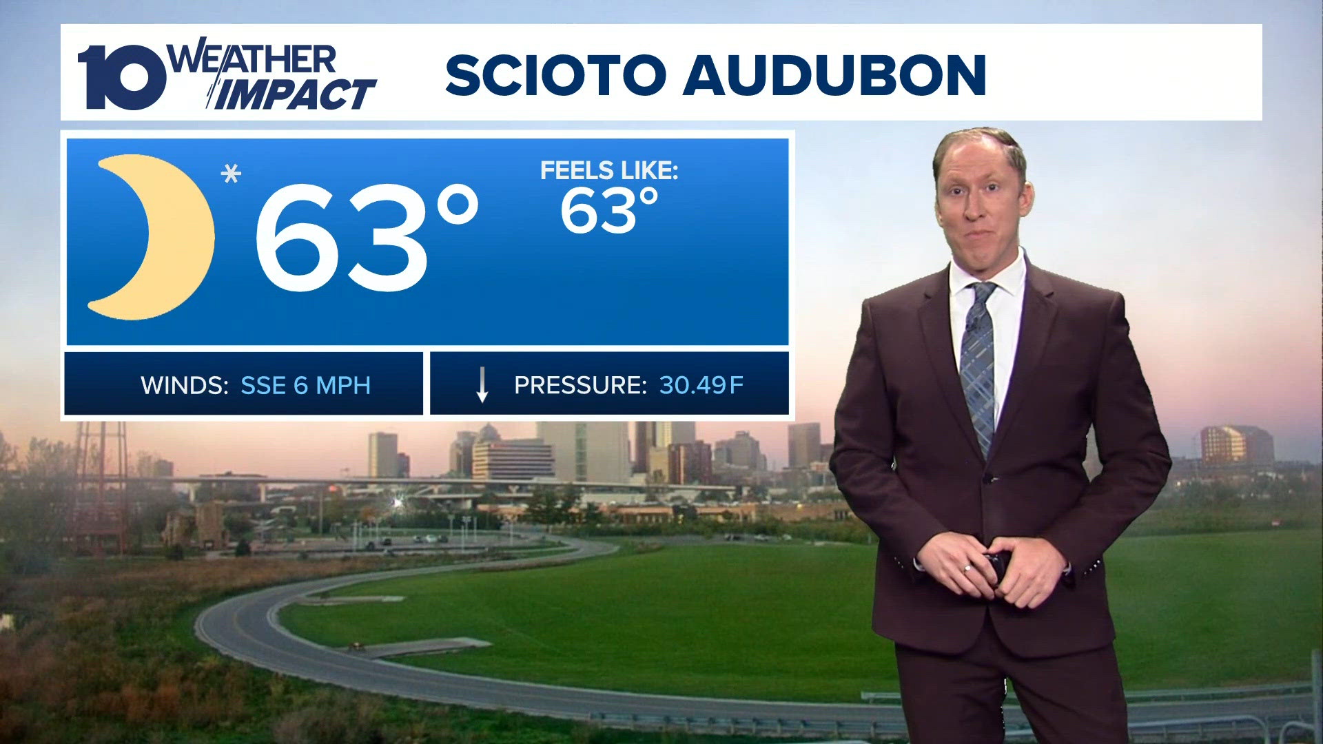 Columbus, OH evening forecast | Sunshine continues all week
10TV Columbus, OH evening forecast | Sunshine continues all week To stream 10TV on your phone, you need the 10TV app. Download the 10TV app Next up in 5 Example video title will go here for this video Before You Leave…
- Columbus Shivers, Then Sizzles: Freeze Warning Kicks Off Sunny 70-Degree Week
The National Weather Service in Wilmington says the freeze warning remains in effect through 9 a.m. Sunday, with temperatures potentially falling as low as 30 degrees across central Ohio. The weather service warns that…
-
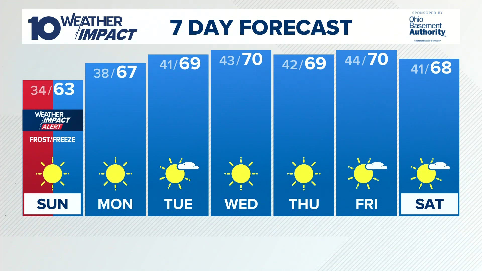 Columbus, OH Weather | Widespread frost or freeze likely by Sunday morning
10TV Columbus, OH Weather | Widespread frost or freeze likely by Sunday morning To stream 10TV on your phone, you need the 10TV app. Download the 10TV app Next up in 5 Example video title will go here for this video…
- Columbus Weather: Chilly weekend with widespread frost, freezing temps Sunday morning
WSYX Happy Saturday, Central Ohio! Clouds will linger this morning before clearing out this afternoon Northeast Ohio may experience some lake-effect rain showers before the high-pressure system takes over the region…
Air quality
Acceptable. Unusually sensitive people should consider limiting prolonged outdoor exertion.
Forecast
- FriModerate (56)
- SatModerate (60)
- SunModerate (62)
Columbus, OH reporting area · 1 hr ago. Data from AirNow (EPA and its state, local and tribal partners); preliminary and subject to change.
Sun & moon
Almanac
MonthlyColumbus Area, records since 1878. Normals 1991–2020. Data from NOAA's Regional Climate Centers (ACIS).
Nearby
- Columbus 25 km
- Newark 52 km
- Dublin 15 km
- Grove City 35 km
- Westerville 8 km
- Delaware 14 km
- Reynoldsburg 30 km
- Marion 46 km
- Upper Arlington 22 km
- Gahanna 21 km
- Hilliard 22 km
- Marysville 33 km
Forecasters' discussion
From the National Weather Service office in ILN, issued 2 hrs ago
What Has Changed
No significant changes.
Key Messages
1) Dry conditions will persist into the middle of next week.
Discussion
KEY MESSAGE 1) Very stable pattern will persist into the early part of next week. Expansive mid level ridge through the middle of the country will shift east slightly and be aligned from the lower Mississippi Valley into the lower Great Lakes through the weekend. This ridge will get suppressed early next week as a short wave lifts across the Plains and then moves through the Great Lakes Tuesday into Wednesday.
Dry easterly low level flow will continue through the rest of the week. Winds will get more of a southerly component as the surface high along the Atlantic seaboard retrogrades into the central Appalachians. It looks like a weak front may drop south across the area Monday night and then wash out by Wednesday. Limited moisture means it will stay dry.
Temperatures will stay pretty close to persistence for the rest of the week and then warm up a bit next week.
Aviation
Valley fog will cause visibility reductions at KLUK both for the early part of the period and then again at the end. Otherwise VFR. May see some thin high clouds after 00Z. Winds will be northeast to east at less than 10 kt.
OUTLOOK...No significant weather expected.
Forecasts, observations and alerts in the United States come from the National Weather Service (NOAA); radar from NOAA's Multi-Radar Multi-Sensor system; satellite imagery from NASA's Global Imagery Browse Services (GIBS) and NOAA's GOES satellites; the map from the U.S. Geological Survey's National Map; air quality from AirNow (EPA and its partners); hurricane information from the National Hurricane Center; climate normals and records from NOAA's Regional Climate Centers (ACIS). Forecasts outside the United States and the UV index: MET Norway (CC BY 4.0); observations outside the U.S.: airport reports via NOAA's Aviation Weather Center. Place names: GeoNames (CC BY 4.0). Data are copied on a schedule and may lag the sources; for warnings that affect your safety, follow your local National Weather Service office and emergency officials. Weather news is drawn from the 4Search index and reflects what the press published. Terms of use.