Install
Hickman, KY 42050 Weather
Current conditions
Observed at Paducah, Barkley Regional Airport · 33 min ago
Forecast
10-day-
Tonight
Clear, with a low around 48. East northeast wind around 3 mph.
-
Friday
Sunny. High near 75, with temperatures falling to around 73 in the afternoon. East northeast wind 2 to 7 mph.
-
Friday Night
Clear, with a low around 47. East wind around 5 mph.
National Weather Service forecast updated 7 hrs ago.
Hourly
Hourly forecast- Now59°
- 9 PM57°
- 10 PM56°
- 11 PM55°
- Fri12 AM54°
- 1 AM53°
- 2 AM52°
- 3 AM51°
- 4 AM50°
- 5 AM49°
- 6 AM49°
- 7 AM48°
- 8 AM50°
- 9 AM55°
- 10 AM63°
- 11 AM68°
- 12 PM71°
- 1 PM73°
- 2 PM75°
- 3 PM75°
- 4 PM75°
- 5 PM73°
- 6 PM70°
- 7 PM64°
10-day forecast
Details- TodayOct 22Sunny48°77°
- FriOct 23Sunny47°75°
- SatOct 24Sunny49°77°
- SunOct 25Mostly Sunny50°76°
- MonOct 26Partly Sunny50°75°
- TueOct 27Mostly Sunny50°74°
- WedOct 28Mostly Sunny49°74°
- ThuOct 29Partly cloudy57°77°
- FriOct 30Rain0.07 in57°64°
- SatOct 31Rain0.51 in55°69°
Days after the National Weather Service's seven are MET Norway's outlook, a computer model with no forecaster's review.
Radar
Full mapWeather news in Kentucky
More weather news- A meteor shower from Halley’s Comet peaks over Kentucky tonight. When to see it
A full “hunter’s moon” will soon peak over Kentucky, along with an upcoming meteor shower from Halley’s Comet. The Orionid meteor shower will peak Wednesday night into Thursday morning, according to NASA. “The Orionids…
- Here’s what the Super El Niño has in store for Kentucky this winter
Lexington Herald Leader Forecasters are pointing to a colder-than-normal winter for Kentucky, with a strengthening El Niño potentially sharpening the chill. Here’s a quick look at what Lexington and the broader region…
- Kentucky Winter 2026-27: Louisville, 13.89-Inch Snow History
NOAA's historical El Niño snowfall analysis from 1950–2009 shows mixed snowfall departures across Kentucky and neighboring states, without establishing a consistent statewide increase or decrease. Why El Niño Doesn't…
-
 Farmer’s Almanac Drops Thanksgiving Forecast and If It’s Correct, Folks in Indiana & Kentucky Should Get Their Snow Shovels Ready
In the past several years, Thanksgiving weather has been pretty warm. I don't recall the last time I saw snow on Thanksgiving in the Tri-State. We even spent Thanksgiving outside like a picnic a few years ago because it…
-
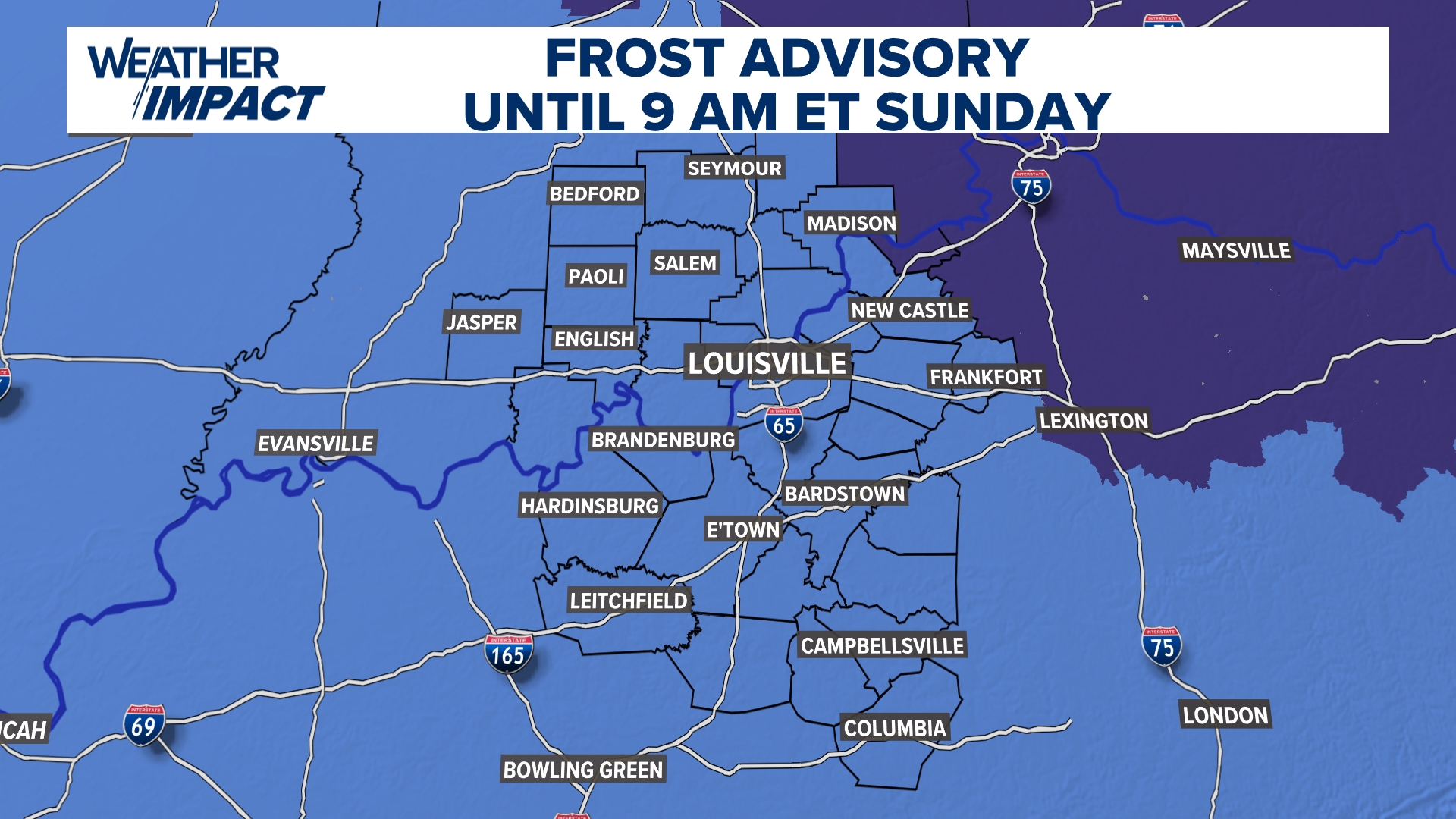 Frost Advisory Saturday night for Kentucky, southern Indiana
WHAS11 Frost Advisory Saturday night for Kentucky, southern Indiana Cover any sensitive vegetation in a cloth and bring in potted plants. The last time Louisville has a freeze was March 18, 2026. The normal first frost…
-
 NOAA’s Winter Outlook Has Good and Bad News for Kentucky and Indiana
The National Oceanic and Atmospheric Administration (NOAA) has released its U.S. winter outlook for 2026-2027, and it looks like El Niño will be a star player, for better or worse. And by that I mean there will be doses…
-
 Temperatures drop across South Central Kentucky
WBKO Temperatures drop across South Central Kentucky
Air quality
Air quality is satisfactory, and air pollution poses little or no risk.
Dyersburg, TN reporting area · 1 hr ago. Data from AirNow (EPA and its state, local and tribal partners); preliminary and subject to change.
Sun & moon
Almanac
MonthlySamburg W. L. Refuge, records since 1928. Normals 1991–2020. Data from NOAA's Regional Climate Centers (ACIS).
Nearby
- Sikeston 50 km
- Martin 39 km
- Union City 19 km
- Mayfield 54 km
- Caruthersville 58 km
- Charleston 43 km
- Tiptonville 32 km
- Newbern 50 km
- East Prairie 30 km
- Portageville 48 km
- New Madrid 30 km
- Dresden 53 km
Forecasters' discussion
From the National Weather Service office in PAH, issued 2 hrs ago
Key Messages
- Patchy fog is possible early this morning near bodies of water.
- Temperatures will remain seasonable, if not slightly above average, into early next week.
- No precipitation is expected through early next week.
Discussion
Issued at 1234 PM CDT Thu Oct 22 2026
An omega block remains in place at 250 mb, albeit with a slightly degraded eastern upper-level low. The CWA remains on the eastern edge of this pattern nonetheless, and the ridge axis is set comfortably along a positive slope from Laredo, Texas, through to Lake Superior. Easterly progression of the ridge axis is expected to increase in speed by mid-day Saturday, though some disagreement in the evolution of the western-most trough exists between models. Currently, the 12z GFS indicates a Tuesday morning shortwave disturbance with a vort max over western Missouri. However, 06z ECMWF contains a strong zonal component and a significantly weaker shortwave centered on western Iowa. Ensemble modeling (GEFS) remains more in line with the ECMWF. Regardless of the troughs exact location, poor moisture return from the Gulf will strongly inhibit the potential for severe weather, yet alone precipitation. Some small precipitation chances may return to the forecast Tuesday but it is dry for now.
No notable changes to surface flow and conditions have occurred, and similar morning fog conditions will exist tomorrow morning around bodies of water. Any fog should erode with surface heating by 15z.
Aviation
Issued at 605 PM CDT Thu Oct 22 2026
With the exception of the possibility of some shallow MVFR fog at CGI later tonight, VFR conditions expected through the end of the period. Winds should go mainly calm overnight and then pick back up out of the east and northeast tomorrow at around 6 kts.
Pah Watches
IL...None. MO...None. IN...None. KY...None.
Forecasts, observations and alerts in the United States come from the National Weather Service (NOAA); radar from NOAA's Multi-Radar Multi-Sensor system; satellite imagery from NASA's Global Imagery Browse Services (GIBS) and NOAA's GOES satellites; the map from the U.S. Geological Survey's National Map; air quality from AirNow (EPA and its partners); hurricane information from the National Hurricane Center; climate normals and records from NOAA's Regional Climate Centers (ACIS). Forecasts outside the United States and the UV index: MET Norway (CC BY 4.0); observations outside the U.S.: airport reports via NOAA's Aviation Weather Center. Place names: GeoNames (CC BY 4.0). Data are copied on a schedule and may lag the sources; for warnings that affect your safety, follow your local National Weather Service office and emergency officials. Weather news is drawn from the 4Search index and reflects what the press published. Terms of use.