Install
Ocala, FL 34477 Weather
Current conditions
Observed at Ocala International Airport - Jim Taylor Field · 29 min ago
Forecast
10-day-
Today
Sunny, with a high near 78. Northeast wind around 9 mph, with gusts as high as 21 mph.
-
Tonight
Clear. Low around 55, with temperatures rising to around 56 overnight. North wind 3 to 8 mph, with gusts as high as 20 mph.
-
Wednesday
Sunny. High near 80, with temperatures falling to around 78 in the afternoon. North wind 6 to 9 mph, with gusts as high as 20 mph.
National Weather Service forecast updated 2 hrs ago.
Hourly
Hourly forecast- Now54°
- 9 AM58°
- 10 AM65°
- 11 AM71°
- 12 PM74°
- 1 PM74°
- 2 PM78°
- 3 PM78°
- 4 PM78°
- 5 PM78°
- 6 PM75°
- 7 PM71°
- 8 PM67°
- 9 PM64°
- 10 PM62°
- 11 PM60°
- Wed12 AM59°
- 1 AM57°
- 2 AM57°
- 3 AM57°
- 4 AM56°
- 5 AM56°
- 6 AM55°
- 7 AM55°
Daily forecast
Details- TodayOct 20Sunny55°78°
- WedOct 21Sunny56°80°
- ThuOct 22Sunny55°77°
- FriOct 23Sunny62°78°
- SatOct 24Sunny then Slight Chance Rain Showers22%63°78°
- SunOct 25Sunny62°78°
- MonOct 26Sunny10%60°78°
- TueOct 27Partly cloudy63°81°
- WedOct 28Cloudy57°79°
Days after the National Weather Service's seven are MET Norway's outlook, a computer model with no forecaster's review.
Radar
Full mapWeather news near Ocala
More weather news-

-
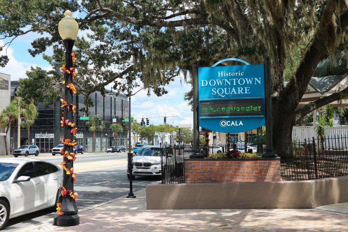 352 WORKWEEK WEATHER FORECAST OCT. 19-23: Firmly fall?
Days in the 70s and nights in the 50s—could autumn finally be here in force? MARION COUNTY, FL (352today.com) – So we kinda got it wrong about no rain at all over the weekend, but it certainly turned out to be beautiful…
-
 352 WEEKEND WEATHER FORECAST OCT. 16-18: Overnight temps and rain chances to drop
Evenings and nights this weekend will approach "fire pit" lows in the bottom of the 60s across North Central Florida. MARION COUNTY, FL (352today.com) – Will it or won’t it feel like fall? That’s really the question on…
-
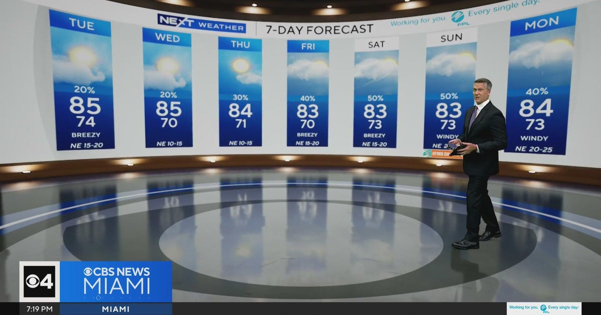 Temperatures lower to the early 80s and late 70s throughout South Florida
CBS News Miami is a local news organization that is part of CBS News and Stations. Also referred to as WFOR-TV and channel 4, CBS News Miami offers local breaking news, weather coverage and investigative reporting…
-
 Southwest Florida Weather Forecast
WINK News Monday, October 19th, 2026, 10 p.m. Currently in Fort Myers Hour by Hour Forecast - Fast moving showers pave the way towards beautiful fall weather - FGCU confirms Trump expected to speak at private Alico…
-
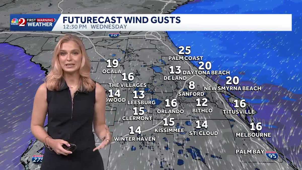 Breezy & comfortable trend for Central Florida
WESH Breezy & comfortable trend for Central Florida Track the forecast with meteorologist Victoria Wisniewski Tonight, tempertures remain in the 60s with mostly clear conditions. By Tuesday morning, expect a bright…
-
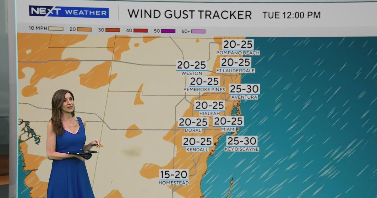 Windy, drier week ahead of taste of fall South Florida style
October 19, 2026 / 11:06 AM EDT / CBS Miami It's expected to be a windy but dry week across South Florida ahead of an enjoyable taste of fall with some pleasant mornings starting on Tuesday. As a frontal boundary stalls…
-
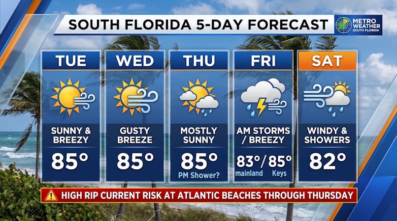 South Florida Forecast: Breezy Sun, Mid-80s Warmth, and Dangerous Atlantic Rip Currents
Donna Thomas has studied hurricanes for two decades. She holds a PhD in history when her experience with Hurricane Andrew ultimately led her to earn a degree in broadcast meteorology from Mississippi State University…
-
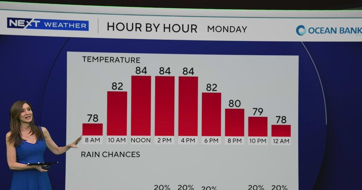 South Florida to see lower rain chances, cooler temperatures this week
CBS News Baltimore 8am CBS News Boston 8am CBS News Chicago 7am CBS News Colorado This Morning 6am CBS News Los Angeles Mornings 5am CBS News Miami 8am CBS News New York 8am CBS News Texas 7am
-
 A beautiful stretch of weather is ahead for Southwest Florida
WINK News Weather Authority meteorologists are tracking cooler temperatures and breezy conditions as we begin the work week.  Next Three DaysWINK News Weather Authority meteorologists are tracking cooler temperatures…
Air quality
Forecast
- TueGood
- WedGood
- ThuGood
Ocala, FL reporting area. Data from AirNow (EPA and its state, local and tribal partners); preliminary and subject to change.
Sun & moon
Nearby
- Gainesville 55 km
- The Villages 33 km
- Leesburg 49 km
- Eustis 58 km
- Marion Oaks 20 km
- Tavares 59 km
- Lady Lake 37 km
- On Top of the World 17 km
- Silver Springs 9 km
- Pine Ridge 43 km
- Hernando 39 km
- Citrus Springs 38 km
Forecasters' discussion
From the National Weather Service office in JAX, issued 2 hrs ago
Key Messages
For the latest NE FL and SE GA Daily Key Messages please visit: https:/www.weather.gov/media/jax/briefings/nws-jax-briefing.pdf
- Marine & Coastal Hazards Continue this Week. Dangerous Surf Zone Conditions - High Surf Advisories Today. Minor Tidal Flooding Continues Within the St. Johns River Basin. Minor Coastal Flooding Possible Along Portions of the Northeast FL Coast
- Strong Northeasterly Winds Develop Friday Night Along the I-95 Corridor. Moderate Tidal and Coastal Flooding Likely During the Upcoming Weekend. Gale Conditions Possible for the Local Atlantic Waters. Dangerous Surf Zone Conditions with a High Risk for Rip Currents at Area Beaches
- Locally Heavy Rainfall Possible this Weekend for Coastal Northeast FL
Near Term
Main Highlights:
- Coastal & Marine Hazards Continue with high rip current risk, rough surf, beach erosion, and minor tidal flooding during high tide
- Breezy northeast winds continue today but mainly for the coastal areas.
- Widespread low temps in the 40s over inland SE GA/inland North FL this morning
Northeast flow will continue today and tonight as strong high pressure continues across the northeast U.S. with the associated ridge axis southward over the eastern U.S. Meanwhile, low pressure system continues to meander east of the North Carolina Outer Banks. This combination will continue the northeast low level flow and the dry conditions. Winds forecast during the daytime for the eastern zones up to 15-20 mph and diminish to only 5-10 mph further inland. A mid to upper level disturbance, rotating around mid level ridge over the western Gulf, will move southeast over GA and SC tonight which will enhance coastal troughing offshore late tonight and early Wednesday. Overall, mostly clear to clear skies expected with the dry air airmass persisting. But, as the coastal trough develops offshore late tonight, a development of additional stratocumulus clouds expected to move to the northeast FL coast by early Wednesday morning. Precip- free weather will continue despite the coastal trough developing.
For temps, chilly lows this morning in the 40s for southeast GA and the Suwannee Valley and lower 50s to around 60 at the coast for rest of the area and the coastline. Max temps today expected to rise to the mid to upper 70s with plenty of sun. Similar overnight lows expected again tonight with light winds and mostly clear skies, except for some partly cloudy skies at times over the northeast FL coast after midnight.
Short Term
Main Highlights This Period:
- Coastal & Marine Hazards To Continue into mid week with high rip current risk, rough surf, beach erosion, and minor tidal flooding.
- Below normal temperatures this period.
High pressure conditions and drier air will persist over the forecast area through midweek, dominating the weather pattern through Wednesday and Thursday resulting in dry weather and clear skies. Breezy northeasterly onshore winds allow the daytime sea breeze to press inland over northeast Florida, with increased diurnal winds reaching towards the I-75 corridor. High temperatures for midweek will be in the upper 70s and lower 80s. Overnight low temperatures will drop down into the upper 40s over southeast Georgia and in the lower to mid 50s for northeast Florida, and in the upper 50s for areas along the coast and near the St Johns River.
Long Term
Main Highlights This Period:
- Moderate Coastal Flooding impacts within the St Johns river Basin, ICW, and the Atlantic coast, significant beach erosion, high surf, and high risk of rip currents Friday into next weekend
- Locally heavy rainfall potential along the NE FL coast next weekend
Predominantly cool and dry conditions will continue through the end of the week, with chances for showers and possible thunderstorms increasing over the weekend for coastal areas and extending into northeast Florida with with the diurnal sea breeze, enhanced by onshore flow. The pressure gradient over the region, situated between the high pressure ridge to the north and an area of low pressure to the south, will tighten before Saturday resulting in gusty onshore winds coinciding with higher astronomical tides leading to high risk for rip currents, high and rough surf, coastal flooding, and beach erosion impacts for areas ranging from along the coast on into the St Johns River Basin. Temperatures will continue to be below the seasonal average through the weekend and into next week.
Forecasts, observations and alerts in the United States come from the National Weather Service (NOAA); radar from NOAA's Multi-Radar Multi-Sensor system; satellite imagery from NASA's Global Imagery Browse Services (GIBS) and NOAA's GOES satellites; the map from the U.S. Geological Survey's National Map; air quality from AirNow (EPA and its partners); hurricane information from the National Hurricane Center; climate normals and records from NOAA's Regional Climate Centers (ACIS). Forecasts outside the United States and the UV index: MET Norway (CC BY 4.0); observations outside the U.S.: airport reports via NOAA's Aviation Weather Center. Place names: GeoNames (CC BY 4.0). Data are copied on a schedule and may lag the sources; for warnings that affect your safety, follow your local National Weather Service office and emergency officials. Weather news is drawn from the 4Search index and reflects what the press published. Terms of use.