Install
Jupiter, FL 33469 Weather
Current conditions
Observed at President Donald J. Trump International Airport · 1 hr ago
Forecast
10-day-
This Afternoon
Mostly sunny, with a high near 83. North northeast wind around 15 mph, with gusts as high as 25 mph.
-
Tonight
Partly cloudy, with a low around 72. North northeast wind 10 to 15 mph, with gusts as high as 25 mph.
-
Wednesday
A chance of rain showers after noon. Mostly sunny. High near 84, with temperatures falling to around 80 in the afternoon. North northeast wind around 10 mph. Chance of precipitation is 30%. New rainfall amounts less than a tenth of an inch possible.
National Weather Service forecast updated 4 hrs ago.
Hourly
Hourly forecast- Now81°11%
- 4 PM81°11%
- 5 PM80°10%
- 6 PM78°10%
- 7 PM77°
- 8 PM76°
- 9 PM76°10%
- 10 PM75°11%
- 11 PM75°12%
- Wed12 AM74°
- 1 AM74°
- 2 AM73°
- 3 AM73°
- 4 AM73°
- 5 AM72°
- 6 AM72°
- 7 AM72°10%
- 8 AM72°12%
- 9 AM76°13%
- 10 AM79°14%
- 11 AM81°14%
- 12 PM82°17%
- 1 PM82°19%
- 2 PM82°22%
10-day forecast
Details- TodayOct 20Mostly Sunny12%72°83°
- WedOct 21Mostly Sunny then Chance Rain Showers31%72°84°
- ThuOct 22Slight Chance Rain Showers then Slight Chance Showers And Thunderstorms24%70°82°
- FriOct 23Chance Rain Showers54%72°82°
- SatOct 24Showers And Thunderstorms Likely74%72°83°
- SunOct 25Rain Showers Likely62%72°82°
- MonOct 26Chance Rain Showers47%71°83°
- TueOct 27Heavy showers0.64 in74°79°
- WedOct 28Light showers0.09 in73°83°
- ThuOct 29Rain0.09 in72°83°
Days after the National Weather Service's seven are MET Norway's outlook, a computer model with no forecaster's review.
Radar
Full mapWeather news near Jupiter
More weather news- Up to 12-foot waves pound Palm Beach County, Treasure Coast beaches
JUPITER, Fla. (CBS12) — Waves reaching up to 12 feet are pounding beaches across Palm Beach County and the Treasure Coast Monday, drawing experienced surfers into the water while prompting lifeguards in Jupiter to raise…
-
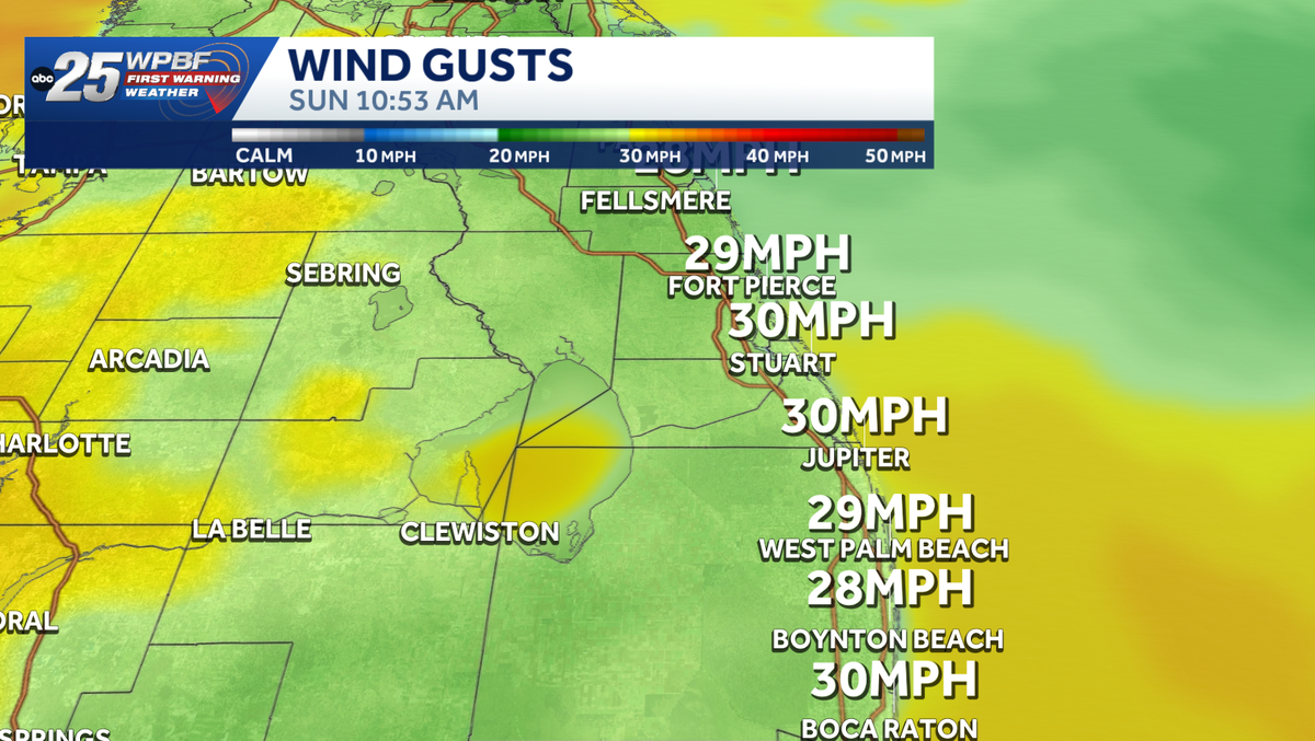 Strong winds, rough surf along east coast
Impact Weather Alert: Strong winds and dangerous surf are creating hazardous conditions along the Treasure Coast and Palm Beaches today. Impact weather is creating hazardous conditions across the Treasure Coast and Palm…
-
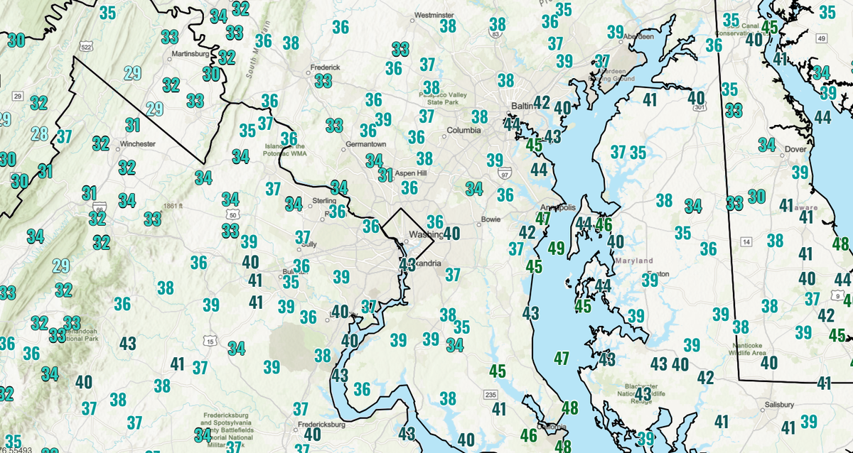 DC area wakes up to chilliest morning of fall, with widespread 30s in suburbs
Temperatures dipped into the low to mid-40s near the city and even lower in the suburbs, with another chilly morning ahead Monday. Washingtonians awoke to the chilliest air of the season so far Sunday, with widespread…
-
 Rain chances heading back up
Our dry weather will gradually get replaced as moisture returns to South Florida through the weekend. Mixed sun and clouds are forecast for this Thursday with some scattered showers and storms moving in from the East…
-
 DC's remarkable heat records since 2010
Since 2010, DC has experienced a remarkable concentration of record-warm years, seasons and months, along with numerous heat extremes. Washington, DC, has experienced no shortage of exceptional warmth since 2010. Many…
-
 Photos: 12 magical early fall scenes from the DC area
From brilliant skies and colorful sunsets to changing leaves, our readers capture the beauty of the season. Early fall in DC is underrated. Sure, the fall foliage is only beginning to emerge, and the most colorful days…
-
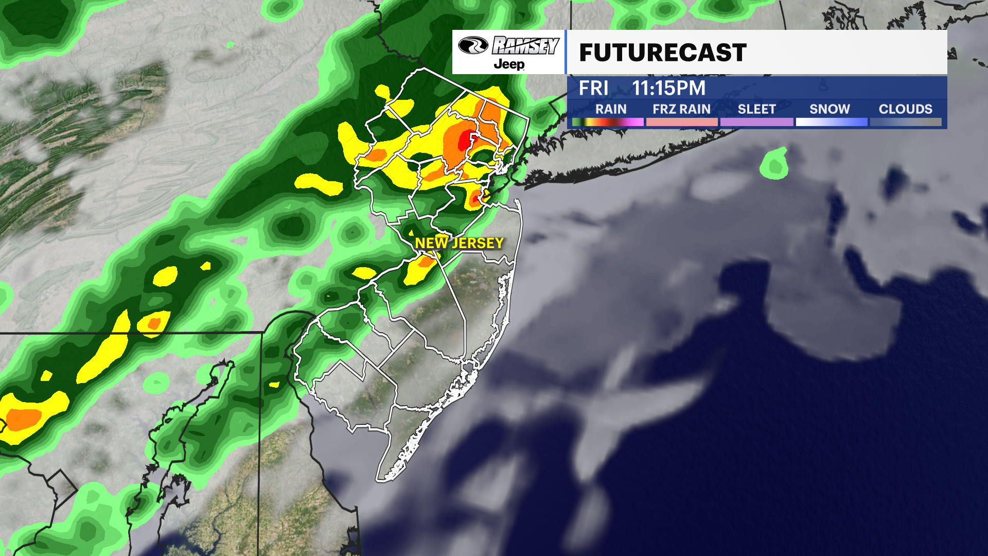 Barnegat Inlet, NJ [8533615]
Your Daily New Jersey Weather Forecast News12 | Westchester Warm start, cool finish: New Jersey's weather takes a roller-coaster turn this week A cooling trend is expected over the next few days as we lose the unusually…
-
 Three-Day Weather/Sky Report: Temperatures in the 90s, ISS pass this morning
The ISS will pass over Magnolia on Wednesday morning. Unseasonably hot weather will continue across Columbia County through Thursday, with a chance of afternoon thunderstorms Wednesday followed by drier, sunnier…
-
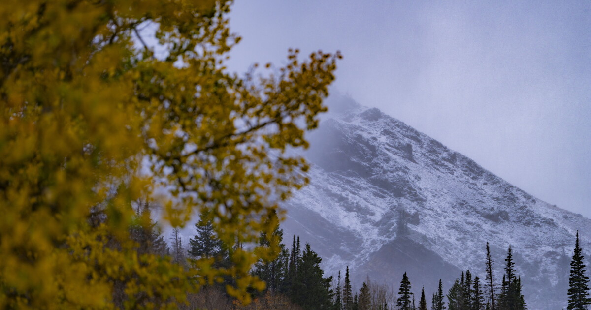 Winter Weather in Utah: Snow Accumulation Expected in Higher Elevations
At SSBCrack News, our dedicated editorial team brings you the latest and most reliable updates on Defence, Geopolitics, Military Affairs, Science, and Technology. Driven by a passion for national security and strategic…
-
 First Snowfall of the Season Hits Utah Ski Resorts Amidst Storms
At SSBCrack News, our dedicated editorial team brings you the latest and most reliable updates on Defence, Geopolitics, Military Affairs, Science, and Technology. Driven by a passion for national security and strategic…
Air quality
Air quality is satisfactory, and air pollution poses little or no risk.
Forecast
- TueGood
- WedGood
- ThuGood
West Palm Beach, FL reporting area · 1 hr ago. Data from AirNow (EPA and its state, local and tribal partners); preliminary and subject to change.
Sun & moon
Almanac
MonthlyStuart, records since 1936. Normals 1991–2020. Data from NOAA's Regional Climate Centers (ACIS).
Nearby
- Port Saint Lucie 42 km
- West Palm Beach 30 km
- Boynton Beach 51 km
- Delray Beach 58 km
- Wellington 38 km
- Palm Beach Gardens 18 km
- Fort Pierce 56 km
- The Acreage 26 km
- Royal Palm Beach 33 km
- Lake Worth Beach 41 km
- Riviera Beach 24 km
- Greenacres City 40 km
Forecasters' discussion
From the National Weather Service office in MLB, issued 2 hrs ago
Key Messages
Issued at 208 AM EDT Tue Oct 20 2026
- Drier today with hazardous surf and a high risk for rip currents continuing at area beaches. Residents and visitors should use caution at the beach and avoid entering the water.
- Hazardous boating conditions will continue all week long with Small Craft Advisories in place for the foreseeable future.
- Rain chances modestly increase Wednesday, lower a bit on Thursday, then ramp up again this weekend. Strong, gusty northeast winds are forecast Friday through Monday, once again worsening beach and boating conditions.
Discussion
Issued at 208 AM EDT Tue Oct 20 2026
Today-Tonight...Hazardous beach and marine conditions persist today as rough surf and a high risk of life-threatening rip currents remain at area beaches. Entering the surf is strongly discouraged! Northeast winds let up just a bit as the pressure gradient weakens slightly over central Florida and the adjacent Atlantic waters. As a low pressure system gradually moves away from the Mid Atlantic coast through tonight, drier air will filter south across Florida. Even where PW values remain near 1" along the Martin County coast, model soundings show the near-surface layer and every space in between above 850mb as very dry. A few CAM solutions try to develop extremely shallow marine-layer showers that approach the Treasure Coast from time to time, mainly this afternoon. With little model support overall, decided to keep mentionable rain chances out of the official forecast. However, a sprinkle or isolated, fast-moving shower would not be totally surprising across the far southern coast.
Forecast high temperatures remain 2-4 degrees below normal in the upper 70s/low 80s. Drier air and the northeast breeze will make for rather pleasant outdoor conditions. Tonight, temps may cool a degree or two more in spots as onshore flow weakens to 5-10 mph inland, 10- 15 mph at the coast.
Wednesday-Thursday...High pressure remains in place over our area through the mid/latter portion of the week, while a cold front moves through the Northeast and Mid Atlantic regions. This forces an old occluded front and strong low pressure system over the western Atlantic seaward Thursday into Friday. A modest pressure gradient around the southern periphery of the surface high reinforces onshore flow through this period, generally 5-10 mph inland (10-15 mph coast) each night and 10-15+ mph each day. Gusts will peak 20-25 mph, especially closer to the coast. Occasional gusts above 30 mph are a possibility along the Volusia/north Brevard coast Wednesday, highlighted by NBE probabilities of 30-50%. Slightly lower probs for 30+ mph gusts are present along the entire coast Thursday.
PW climb above 1" for most of the area Wednesday, allowing for more marine stratocu to develop, push onshore, and bring with it a chance for showers. QPF remains light, generally 0.05-0.10" for those locations that do see rain (mainly along the coast). Drier air makes another push south early Thursday, suppressing low rain chances from north to south on Thursday. Most of the area will stay dry Thursday. Temps are fairly status-quo, reaching the low 80s Wednesday and cooling a degree or two Thursday into the upper 70s/low 80s. Locations north of I-4 have the best potential at reaching the upper 50s each night, especially Thursday night.
Friday-Monday...A residual front, stretching from Cuba toward the southeastern Bahamas, becomes a fulcrum of sorts late this week into the weekend for low pressure to develop. Several surface-850mb reflections are apparent in medium range guidance along this front, albeit disorganized and generally elongated in appearance. High pressure over southern Canada and the Northeast U.S. pivots a bit farther south as it strengthens into the weekend. This really helps to tighten the pressure gradient over our area (00z guidance EC/GFS show a 8-10mb delta between JAX/MIA) and give a boost to northeast winds. Sustained winds Friday afternoon of 15-20 mph could reach as high as 20-30 mph Saturday and Sunday. Wind Advisories, especially along the immediate coast, will be given strong consideration if these model solutions hold. Another indicator of this stronger wind event is the ECMWF EFI, whose scores of 0.7 to 0.85 (Saturday to Sunday, respectively) signal an unusually gusty 48 hours. Strong winds could even continue into Monday before the high starts to weaken Tuesday and beyond. In short, this weekend will be windy and not friendly to any outdoor decorations/items that are not well- secured.
Marine
Issued at 208 AM EDT Tue Oct 20 2026
6-8 ft seas are being observed in the nearshore waters with waves around 10 ft at Buoy 41009 this morning. Small Craft Advisories continue today and for the foreseeable future as waves maintain at least 6-9 ft through Friday. Northeast winds slacken slightly today through Thursday as the pressure gradient weakens over the local waters. Fast, onshore-moving showers are possible again Wednesday, focused mainly south on Thursday, and then returning late week. By Friday afternoon and continuing into the weekend, high pressure to the north quickly strengthens and tightens the surface pressure gradient once again. Strong to near gale force ENE winds are forecast to develop as rain chances increase from south to north. Seas build 12-15 ft by Saturday afternoon, creating dangerous marine conditions. An isolated storm or two also cannot be ruled out, mainly south of Sebastian Inlet.
Aviation
(18Z TAFs) Issued at 135 PM EDT Tue Oct 20 2026
VFR conditions are expected through the TAF period with north- northeasterly flow in place. Expect north-northeast winds at 12kts-15kts with gusts up to 18kts-22kts before weakening tonight. Winds will increase after 15Z WED from the north-northeast at 12kts-14kts with gusts up to 18kts-20kts.
Forecasts, observations and alerts in the United States come from the National Weather Service (NOAA); radar from NOAA's Multi-Radar Multi-Sensor system; satellite imagery from NASA's Global Imagery Browse Services (GIBS) and NOAA's GOES satellites; the map from the U.S. Geological Survey's National Map; air quality from AirNow (EPA and its partners); hurricane information from the National Hurricane Center; climate normals and records from NOAA's Regional Climate Centers (ACIS). Forecasts outside the United States and the UV index: MET Norway (CC BY 4.0); observations outside the U.S.: airport reports via NOAA's Aviation Weather Center. Place names: GeoNames (CC BY 4.0). Data are copied on a schedule and may lag the sources; for warnings that affect your safety, follow your local National Weather Service office and emergency officials. Weather news is drawn from the 4Search index and reflects what the press published. Terms of use.