Install
Melbourne, FL 32912 Weather
Current conditions
Observed at Melbourne International Airport · 38 min ago
Forecast
10-day-
Wednesday
A slight chance of rain showers between 11am and 2pm. Mostly sunny. High near 82, with temperatures falling to around 78 in the afternoon. North northeast wind 10 to 20 mph, with gusts as high as 25 mph. Chance of precipitation is 20%. New rainfall amounts less than a tenth of an inch possible.
-
Wednesday Night
Partly cloudy, with a low around 69. North northeast wind 10 to 20 mph, with gusts as high as 25 mph.
-
Thursday
Sunny, with a high near 80. North wind 10 to 15 mph, with gusts as high as 25 mph.
National Weather Service forecast updated 3 hrs ago.
Hourly
Hourly forecast- Now72°
- 7 AM72°
- 8 AM72°<0.01
- 9 AM74°<0.01
- 10 AM78°14%
- 11 AM80°17%
- 12 PM81°19%
- 1 PM81°20%
- 2 PM80°11%
- 3 PM81°
- 4 PM80°14%
- 5 PM78°
- 6 PM78°
- 7 PM75°
- 8 PM74°
- 9 PM74°
- 10 PM74°
- 11 PM74°
- Thu12 AM73°
- 1 AM73°
- 2 AM72°
- 3 AM71°
- 4 AM70°
- 5 AM70°
10-day forecast
Details- TonightOct 20Partly Cloudy71°
- TodayOct 21Slight Chance Rain Showers20%69°82°
- ThuOct 22Sunny69°80°
- FriOct 23Sunny33%72°81°
- SatOct 24Showers And Thunderstorms Likely69%72°81°
- SunOct 25Showers And Thunderstorms Likely58%72°81°
- MonOct 26Chance Rain Showers41%71°81°
- TueOct 27Chance Showers And Thunderstorms25%81°
- WedOct 28Rain0.09 in70°77°
- ThuOct 29Cloudy67°77°
Days after the National Weather Service's seven are MET Norway's outlook, a computer model with no forecaster's review.
Radar
Full mapWeather news near Melbourne
More weather news-
 Lingering cold front and windy conditions still to come in Central Florida
A cold front continues to the south on Sunday and will linger across the Straits of Florida through early this week, with breezy to windy conditions forecast across the Central Florida region, according to the National…
-
 Cold front brings wind and storms to Central Florida
A cold front will move through Central Florida on Saturday bringing numerous showers and isolated thunderstorms. Temperatures will drop with cooler weather expected over the next several days, according to the National…
- Orlando Storms Roll In Friday Before A Windy Weekend
Orlando woke Friday to sticky air and temperatures in the mid-70s, while much of the region remained mostly dry, but the calm will not last. Afternoon thunderstorms are expected to move in after lunch, followed by a…
-
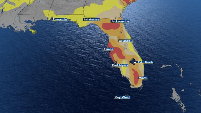 Historic drought relief arrives just as Central Florida enters dry season
ORLANDO, FLA. – Central Florida is making progress on its historic drought, but the timing is less than ideal. Just as recent rain has helped improve conditions, the region is reaching the time of year when showers and…
- Biketoberfest weather could bring wind, spotty showers to Daytona area
Though rain chances might still be uncertain for the Daytona Beach area this weekend, bikers will likely encounter some gusty winds along the coast as Biketoberfest unfolds. A cold front approaching the central Florida…
-
 Risk for excessive rainfall in Greater Orlando
Portions of east Central Florida have a marginal risk for excessive rainfall on Friday afternoon. The rainfall is expected to begin in the early afternoon and evening, mainly around Orlando and areas southward…
-
 El Niño to bring heavy rain, tornadoes to Central Florida
FOX 35 Orlando El Nino causes a significant increase in tornadoes and rainfall in central Florida during November to March. A time of the year normally known for the lack of weather and only sporadic rain chances. Will…
-
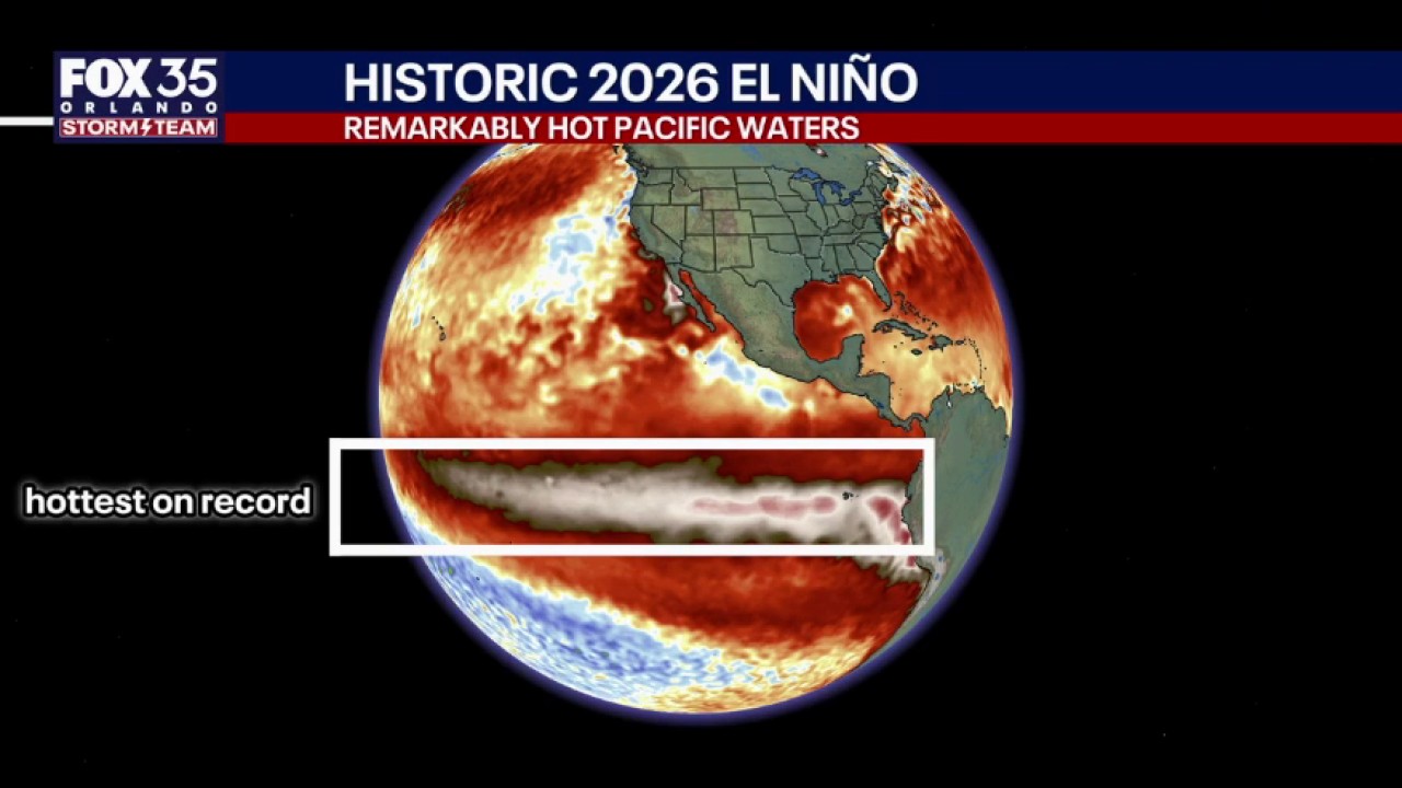 El Niño to bring heavy rain, tornadoes to Central Fla.
FOX 35 Orlando Will Ulrich, Wangin Coordination Meteorologist with NWS Melbourne, joined FOX 35's Garrett Wymer and Laurel Blanchard live to discuss the impact of El Niño on Central Florida.
- Biketoberfest weather to get wet, windy in Volusia, Flagler
The favorable weather that greeted early visitors to Biketoberfest this week is expected to give way to wet and windy conditions in Volusia and Flagler counties, according to meteorologists with the National Weather…
-
 Disney World May Close Certain Parts Soon as New Warning Triggers Regional Alert
Credit: Sarah Larson, Inside the Magic An abnormal weather pattern is approaching Walt Disney World Resort, potentially disrupting vacation plans for millions. Here’s what we know. A Disney World cold front is expected…
Air quality
Air quality is satisfactory, and air pollution poses little or no risk.
Forecast
- WedGood
- ThuGood
- FriGood
Melbourne, FL reporting area · 1 hr ago. Data from AirNow (EPA and its state, local and tribal partners); preliminary and subject to change.
Sun & moon
Almanac
MonthlyMelbourne Wfo, records since 1937. Normals 1991–2020. Data from NOAA's Regional Climate Centers (ACIS).
Nearby
- Palm Bay 6 km
- Merritt Island 32 km
- Rockledge 32 km
- Sebastian 33 km
- Vero Beach South 55 km
- West Melbourne 5 km
- Cocoa 36 km
- Vero Beach 54 km
- Port Saint John 47 km
- Cocoa Beach 26 km
- Viera East 22 km
- Satellite Beach 10 km
Forecasters' discussion
From the National Weather Service office in MLB, issued 3 hrs ago
Key Messages
Issued at 243 AM EDT Wed Oct 21 2026
- Rough surf and a high risk for life-threatening rip currents continue at area beaches. Residents and visitors should use caution at the beach and avoid entering the water.
- Shower chances modestly increase today along the coast, then drier again Thursday. Rain chances ramp up again this weekend.
- Strong northeast winds forecast to return this weekend; very windy with dangerous surf and boating conditions, a risk for more beach erosion and minor coastal flooding possible.
Discussion
Issued at 243 AM EDT Wed Oct 21 2026
Current-Thu...High pressure over the Great Lakes extending into the Deep South will allow for a continuation of NERLY winds. A rather tight pressure gradient continues across the area supporting 10-15 mph winds with gusts to 20-25 mph during the day. Speeds drop to 5- 10 mph at night and perhaps a little higher at the coast. Enough moisture will exist for occasional (20-30%) onshore-moving showers along the coast, esp Cape southward today; mostly St. Lucie/Martin counties on Thu. Marine stratocu will push onshore with times of broken CIGs, esp near the coast. Near seasonable max temps each day with L80s for most today, though a bit cooler on Thu U70s-L80s. Min temps mostly in the 60s with U50s across the interior.
Fri-Tue...The weather pattern again becomes unsettled with energy aloft and surface low pressure developing along an old frontal boundary near or northeast of the Bahamas. Moisture deepens and rain chances increase Fri night into the weekend. The pressure gradient tightens, once again, and NE/ENE winds strengthen. Expect winds Fri afternoon 15-20 mph and frequently gusty. Very windy conditions expected Sat/Sun with speeds increasing 20-30 mph sustained with higher gusts. Wind Advisories may be necessary, at least for the coast. Expect windy/gusty conditions to continue into early next week as the pgrad is slow to relax.
These strong winds will coincide with high astronomical tides and help produce another hazardous coastal event. Beach erosion, rough surf, minor coastal flooding, and dangerous rip currents beginning as soon as Fri. Near seasonal high temps in the U70s-L80s, but above normal overnight lows in the M60s across the interior and U60s-L70s at the coast due to the strong onshore flow.
Marine
Issued at 243 AM EDT Wed Oct 21 2026
Thru Sun...While the pgrad has relaxed a bit, allowing for winds to decrease and seas to slowly subside some; it will be short-lived. Small Craft Advisories remain in effect. Fast, onshore-moving showers (20-30%) are possible today, esp Cape southward, and focused mainly south on Thu. Expect increasing rain coverage again by the weekend. By Fri afternoon and continuing into the weekend, high pressure to the north quickly strengthens and tightens the surface pressure gradient once again. Strong to near Gale force NE/ENE winds are forecast to develop as rain chances increase from south to north. Seas build 12-15 ft by late Sat, creating dangerous marine conditions. NMRS showers with an ISOLD lightning storm or two are forecast this weekend.
Aviation
(06Z TAFs) Issued at 137 AM EDT Wed Oct 21 2026
Generally VFR conditions through the TAF period. Dry conditions tonight with north to northeast winds 5-10 KT. Winds will become northeast and increase to 10-15 KT with gust 20-25 KT at times by mid morning. Isolated to scattered showers will be possible this afternoon, mainly along the coast from Cape Canaveral southward. Have added VCSH for FPR and SUA, where the greatest potential for showers to occur. Winds will begin to slacken in the evening, with north to northeast winds at 5-10 KT overnight with dry conditions.
Forecasts, observations and alerts in the United States come from the National Weather Service (NOAA); radar from NOAA's Multi-Radar Multi-Sensor system; satellite imagery from NASA's Global Imagery Browse Services (GIBS) and NOAA's GOES satellites; the map from the U.S. Geological Survey's National Map; air quality from AirNow (EPA and its partners); hurricane information from the National Hurricane Center; climate normals and records from NOAA's Regional Climate Centers (ACIS). Forecasts outside the United States and the UV index: MET Norway (CC BY 4.0); observations outside the U.S.: airport reports via NOAA's Aviation Weather Center. Place names: GeoNames (CC BY 4.0). Data are copied on a schedule and may lag the sources; for warnings that affect your safety, follow your local National Weather Service office and emergency officials. Weather news is drawn from the 4Search index and reflects what the press published. Terms of use.