Install
Hinesville, GA 31310 Weather
Current conditions
Forecast for this hour (no station report in the last two hours)
Forecast
10-day-
Tonight
Clear, with a low around 47. East wind around 1 mph.
-
Friday
Sunny, with a high near 72. Northeast wind 0 to 8 mph.
-
Friday Night
Clear, with a low around 52. Northeast wind 3 to 8 mph.
National Weather Service forecast updated 18 hrs ago.
Hourly
Hourly forecast- Now51°
- 3 AM50°
- 4 AM48°
- 5 AM48°
- 6 AM47°
- 7 AM47°
- 8 AM47°
- 9 AM52°
- 10 AM58°
- 11 AM64°
- 12 PM67°
- 1 PM70°
- 2 PM71°
- 3 PM72°
- 4 PM72°
- 5 PM71°
- 6 PM67°
- 7 PM63°
- 8 PM58°
- 9 PM57°
- 10 PM56°
- 11 PM55°
- Sat12 AM55°
- 1 AM55°
10-day forecast
Details- ThuOct 22Sunny47°77°
- TodayOct 23Sunny52°72°
- SatOct 24Sunny53°73°
- SunOct 25Sunny54°74°
- MonOct 26Sunny51°74°
- TueOct 27Sunny53°75°
- WedOct 28Mostly Sunny54°76°
- ThuOct 29Cloudy63°79°
- FriOct 30Partly cloudy62°78°
- SatOct 31Sunny60°75°
Days after the National Weather Service's seven are MET Norway's outlook, a computer model with no forecaster's review.
Radar
Full mapWeather news in Georgia
More weather news- Wind picks up this weekend with an eye on the tides for Coastal Georgia, Lowcountry
Friday is set to start off cool with lows in the 40s to around 50 degrees. A mild afternoon can be expected with highs in the 70s. Gusty winds arrive to start the weekend with gusts of 20-25+ mph expected, highest at…
-
 High fire danger in Cobb and much of Georgia Thursday
The National Weather Service issued a special weather statement for north and central Georgia for Thursday, Oct. 22. Weather reports can be packed with unfamiliar terms. Our plain-English guide to understanding weather…
-
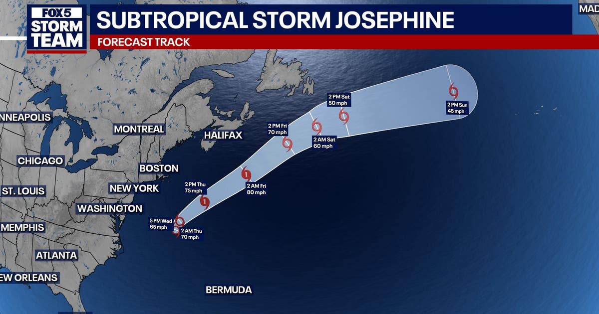 Subtropical storm Josephine forms in Atlantic: What it means for north Georgia
ATLANTA - Subtropical Storm Josephine formed Wednesday afternoon off the East Coast, becoming the latest named storm of the Atlantic hurricane season. As of 5 p.m. Wednesday, Josephine was located about 265 miles south…
-
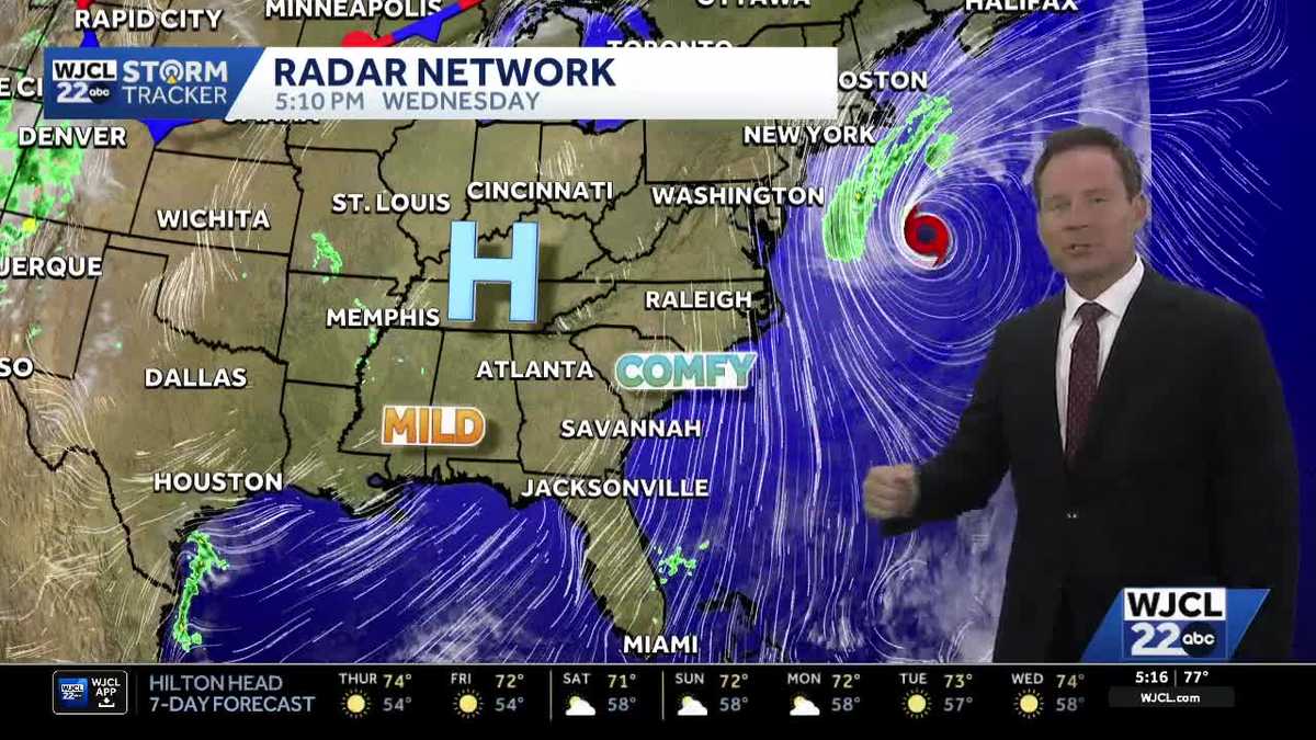 New tropical system forms & the latest on the weekend forecast for Southeast Georgia, Lowcountry
Dry weather with lots of sunshine continues this week. The next change in the weather arrives Friday into Saturday as northeast winds pick up. Wind gusts may top 30 mph at the coast to start the weekend with inland…
-
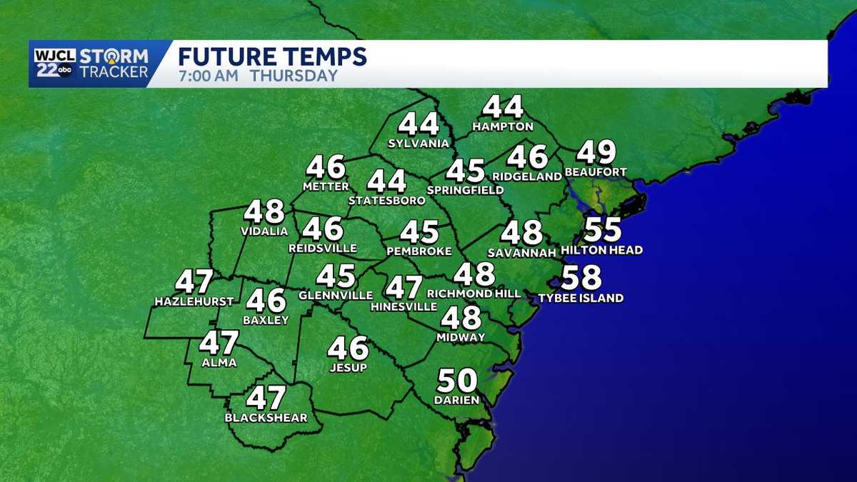 Quick temperature swings give way to a breezy start to the weekend in Southeast Georgia, Lowcountry
Cool mornings and mild afternoons remain in the forecast through the end of this week. Temperatures will once again start off chilly inland on Thursday with lows in the 40s! Grab an extra layer before leaving home…
- High fire danger expected across much of Georgia Wednesday
Cobb County and most of north and central Georgia face high fire danger Wednesday afternoon into the evening, Oct. 21, according to a special weather statement issued by the National Weather Service. Relative humidity…
-
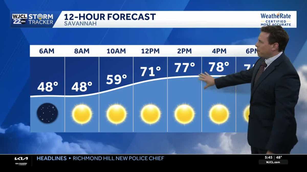 Sunny skies and pleasant fall weather continue across Southeast Georgia and the Lowcountry
Sunshine and pleasantly mild temperatures through the end of the workweek Savannah, Ga. (WJCL)- There will be sunny skies throughout the day with temperatures a few degrees milder this afternoon. Highs will be in the…
-
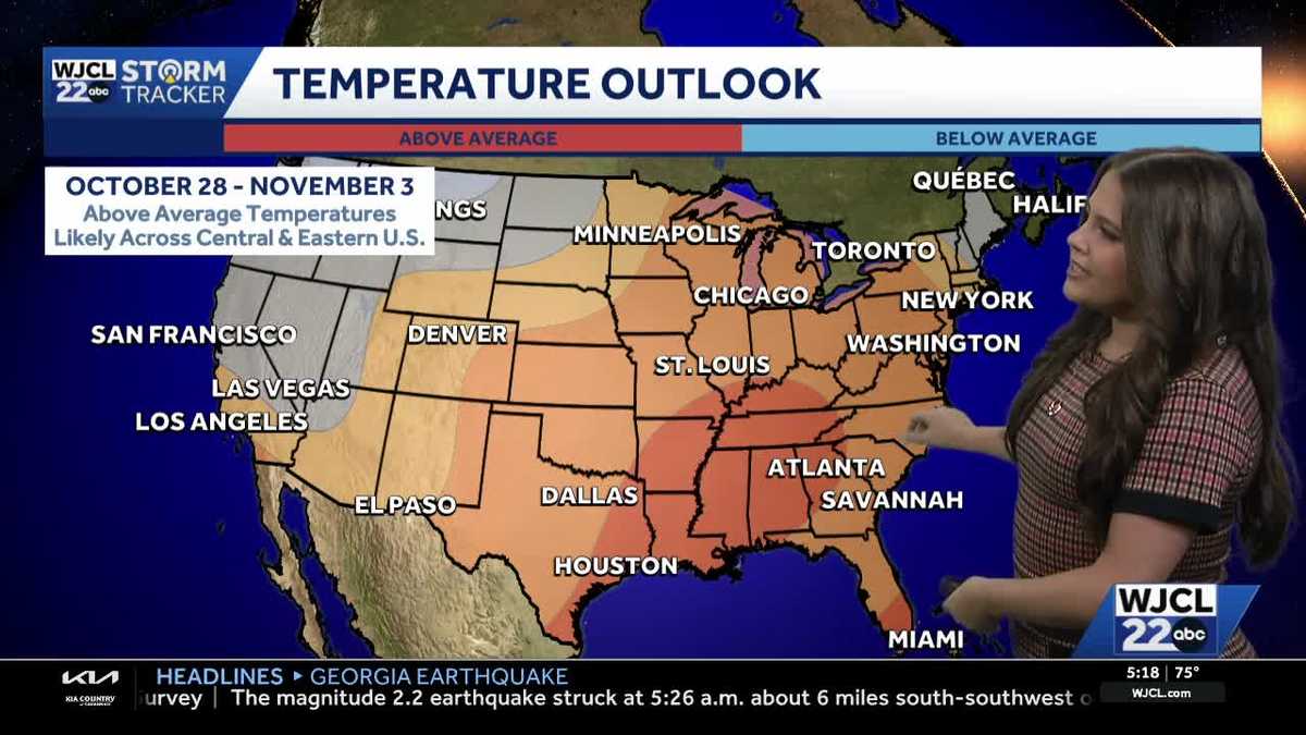 Comfortable conditions continue across Southeast Georgia and the Lowcountry
WJCL A look at the chilly mornings ahead and nice afternoon highs Temperatures drop overnight Tuesday into Wednesday with lows Wednesday morning in the 40s and 50s across Southeast Georgia and the Lowcountry. Have a…
-
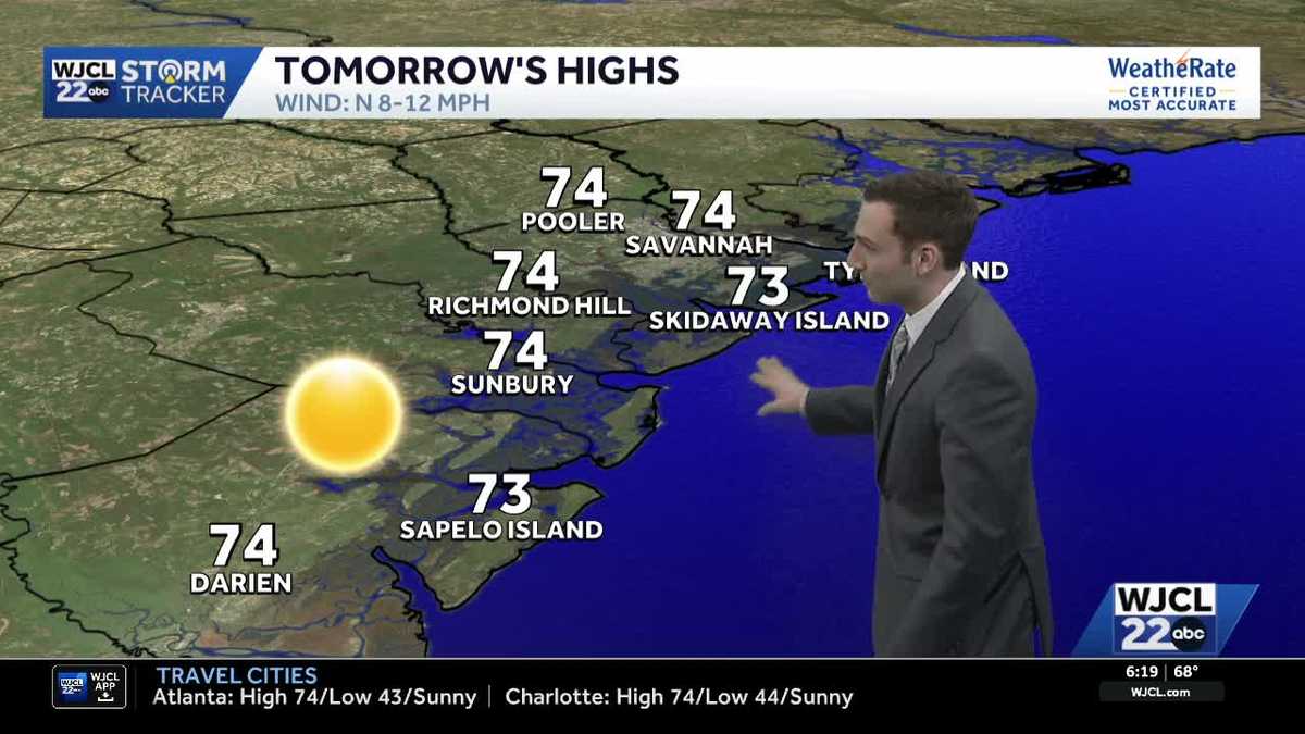 Sunshine stays in the forecast for Southeast Georgia & the Lowcountry this week
WJCL Tuesday morning will feature a clear & cold start with lows in the 40s across Southeast Georgia & the Lowcountry Similar to the start of the work week, there will be plenty of sunshine during the day, but a light…
-
 🔥 High fire danger today in Cobb County and North Georgia
Relative humidity could fall to 30% or lower for at least four hours, with northeast winds of 5 to 10 mph. Dry vegetation and low humidity will increase the risk of fires spreading. Residents should check with local…
Air quality
People with heart or lung disease, older adults, children and teenagers should reduce prolonged or heavy exertion outdoors.
Savannah, GA reporting area · 1 hr ago. Data from AirNow (EPA and its state, local and tribal partners); preliminary and subject to change.
Sun & moon
Almanac
MonthlyFort Stewart Wright, records since 1967. Normals 1991–2020. Data from NOAA's Regional Climate Centers (ACIS).
Nearby
- Savannah 44 km
- Pooler 39 km
- Wilmington Island 49 km
- Richmond Hill 19 km
- Georgetown 28 km
- Rincon 58 km
- Jesup 48 km
- Garden City 43 km
- Skidaway Island 39 km
- Port Wentworth 46 km
- Whitemarsh Island 47 km
- Glennville 49 km
Forecasters' discussion
From the National Weather Service office in CHS, issued 6 hrs ago
What Has Changed
Aviation section has been updated.
Key Messages
- 1) Dry conditions and below normal temperatures will continue into early next week.
- 2) Strong northeast flow this weekend and into early next week will result in several coastal hazards including tidal flooding, rip currents, high surf, and beach erosion.
Discussion
KEY MESSAGE 1: Dry conditions and below normal temperatures will continue into early next week.
Surface high pressure will extend across the region through late week. Over the weekend, the high will strengthen inland while a coastal trough develops offshore. The air mass will remain quite dry, especially through Friday when LREF indicates PWats fall below the 5th percentile. The pattern will support a rain- free forecast through at least early next week. Despite plenty of sunshine, temperatures will lean on the cooler side of normal. Highs in the upper 60s to lower 70s on Friday will moderate to the lower to mid 70s for the weekend and early next week. Low temperatures will fall into the 40s across many interior locations.
KEY MESSAGE 2: Strong northeast flow this weekend and into early next week will result in several coastal hazards including tidal flooding, rip currents, high surf, and beach erosion.
High pressure will settle across New England and the Mid-Atlantic states Friday into Saturday, favoring an enhanced pressure gradient along the Southeast Coast this weekend and into early next week. The setup will yield strong northeast winds across the area, with the potential for coastal hazards to extend into at least early next week.
Coastal Flooding: Astronomical tides will continue to rise through the weekend and into next week with the upcoming lunar perigee (10/28) and full moon (10/26). In fact, the highest astronomical tides for all of 2026 will come Tuesday (10/27) and Wednesday (10/28) when Charleston Harbor peaks at ~6.9 ft MLLW and Fort Pulaski peaks at 8.9 ft MLLW. With another period of strong northeast flow on the way this weekend, large tidal departures will start to overlap with increasing astronomical tides, providing increased probabilities of seeing a multi-day coastal flooding event for the entire coast. Minor coastal flooding could begin as early as the upcoming late afternoon high tide cycle, and this minor flooding potential will continue through the rest of the week. Over the weekend and into next week, the potential for moderate to even major coastal flooding will increase at the Charleston Harbor. At Fort Pulaski, minor to moderate coastal flooding will be possible during this time period. Of note, the morning high tide cycle will be the dominant high tide of the day.
Coastal Hazards: Strong northeast winds and increased wave action will support an elevated rip current risk over the weekend and into early next week. A Moderate Risk for rip currents is in place for all beaches Saturday, followed by a High Risk Saturday. An enhanced period of rip currents will likely continue into early next week. Also, high surf with breaking wave heights of 5 ft or higher will be possible and High Surf Advisories could be needed this weekend into early next week. The combination of elevated tides, increased wave action, and persistent gusty northeast winds will likely produce beach erosion, with the most significant erosion occurring around high tide cycles this weekend.
Aviation
No aviation concerns as winds weaken overnight, becoming gusty out of the northeast for Friday. Most will see intermittent gusty conditions into the teens during the late morning and early afternoon hours, closer to the lower 20s along the immediate coastline.
Extended Aviation Outlook: Breezy northerly winds anticipated at CHS/JZI/SAV terminals Saturday and Sunday. Otherwise, VFR conditions are expected at all terminals this weekend into early next week.
Forecasts, observations and alerts in the United States come from the National Weather Service (NOAA); radar from NOAA's Multi-Radar Multi-Sensor system; satellite imagery from NASA's Global Imagery Browse Services (GIBS) and NOAA's GOES satellites; the map from the U.S. Geological Survey's National Map; air quality from AirNow (EPA and its partners); hurricane information from the National Hurricane Center; climate normals and records from NOAA's Regional Climate Centers (ACIS). Forecasts outside the United States and the UV index: MET Norway (CC BY 4.0); observations outside the U.S.: airport reports via NOAA's Aviation Weather Center. Place names: GeoNames (CC BY 4.0). Data are copied on a schedule and may lag the sources; for warnings that affect your safety, follow your local National Weather Service office and emergency officials. Weather news is drawn from the 4Search index and reflects what the press published. Terms of use.