Install
Norcross, GA 30091 Weather
Current conditions
Observed at Atlanta, De Kalb-Peachtree Airport · 57 min ago
Forecast
10-day-
This Afternoon
Sunny, with a high near 74. West wind around 0 mph.
-
Tonight
Clear, with a low around 48. Northwest wind around 0 mph.
-
Thursday
Sunny, with a high near 76. Northeast wind around 0 mph.
National Weather Service forecast updated 3 hrs ago.
Hourly
Hourly forecast- Now73°
- 6 PM71°
- 7 PM66°
- 8 PM62°
- 9 PM59°
- 10 PM57°
- 11 PM55°
- Thu12 AM54°
- 1 AM53°
- 2 AM52°
- 3 AM51°
- 4 AM50°
- 5 AM49°
- 6 AM49°
- 7 AM49°
- 8 AM49°
- 9 AM51°
- 10 AM59°
- 11 AM64°
- 12 PM68°
- 1 PM71°
- 2 PM74°
- 3 PM75°
- 4 PM76°
10-day forecast
Details- TodayOct 21Sunny48°74°
- ThuOct 22Sunny49°76°
- FriOct 23Sunny48°70°
- SatOct 24Sunny46°67°
- SunOct 25Sunny46°68°
- MonOct 26Sunny46°72°
- TueOct 27Mostly Sunny48°75°
- WedOct 28Cloudy54°72°
- ThuOct 29Sunny50°73°
- FriOct 30Sunny53°78°
Days after the National Weather Service's seven are MET Norway's outlook, a computer model with no forecaster's review.
Radar
Full mapWeather news near Norcross
More weather news- Atlanta On Fire Watch as Weeklong Dry Spell Sets In
The National Weather Service says relative humidity could drop to 30% or lower for at least four hours Wednesday afternoon and evening. With dry fuels across the area, residents should check with local burn-permitting…
-
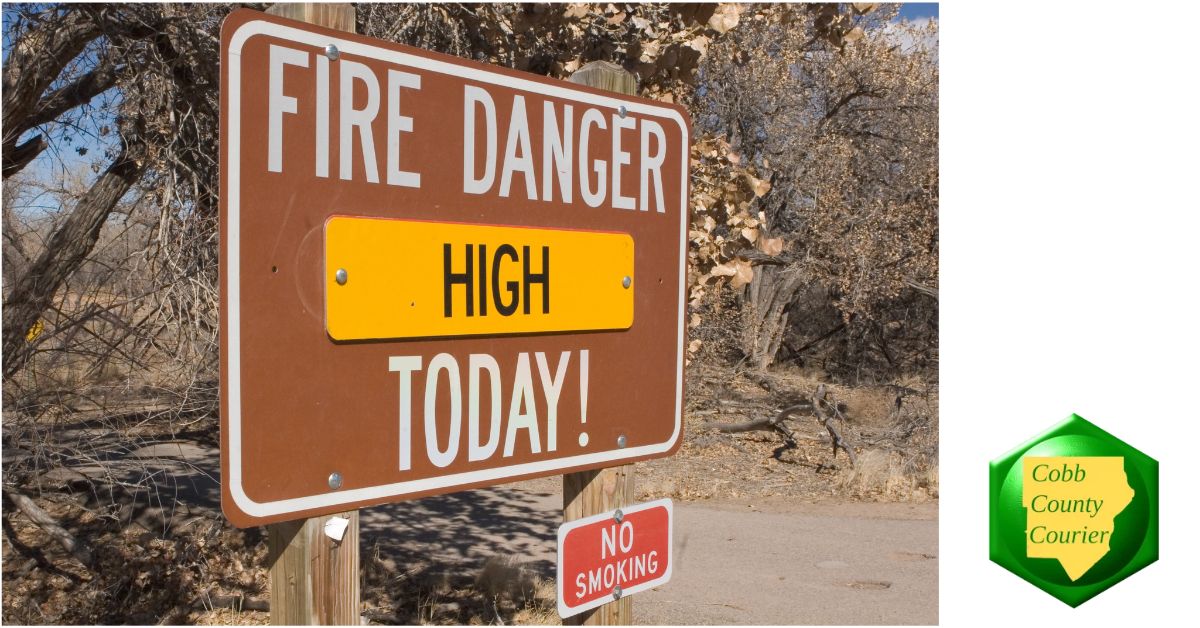 High fire danger expected across much of Georgia Wednesday
Cobb County and most of north and central Georgia face high fire danger Wednesday afternoon into the evening, Oct. 21, according to a special weather statement issued by the National Weather Service. Relative humidity…
-
 Bryan Norcross: Continuing long-duration coastal flood event from strengthening nor'easter
☔ 🌊 FALL NOR'EASTER: FOX Weather Storm Specialist Mike Seidel reports from Kill Devil Hills, North Carolina, where the conditions from the upcoming nor'easter are slowly developing as winds increase amid high tide along…
-
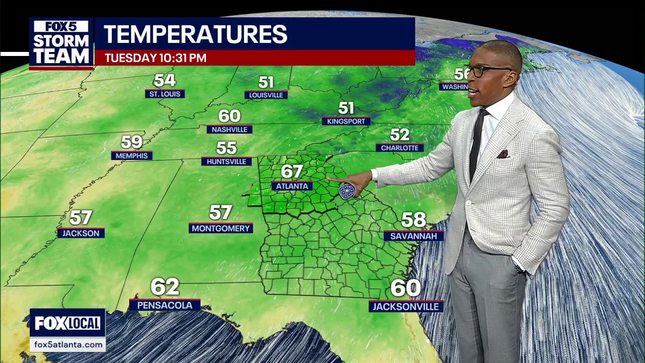 Tuesday night forecast
FOX 5 Atlanta Chilly, November-like mornings and comfortable afternoons continue across North Georgia. Highs reach the mid-70s Wednesday with plenty of sunshine before a late-week cold front brings cooler air, leaving…
-
 Feeling Like Fall! Cool, dry conditions prevail for Metro Atlanta this week
After a relentless Summer that continued well into the Fall season, perfect Autumnal weather will stick around this week. — After a relentless Summer that continued well into the Fall season, we are rewarded with…
-
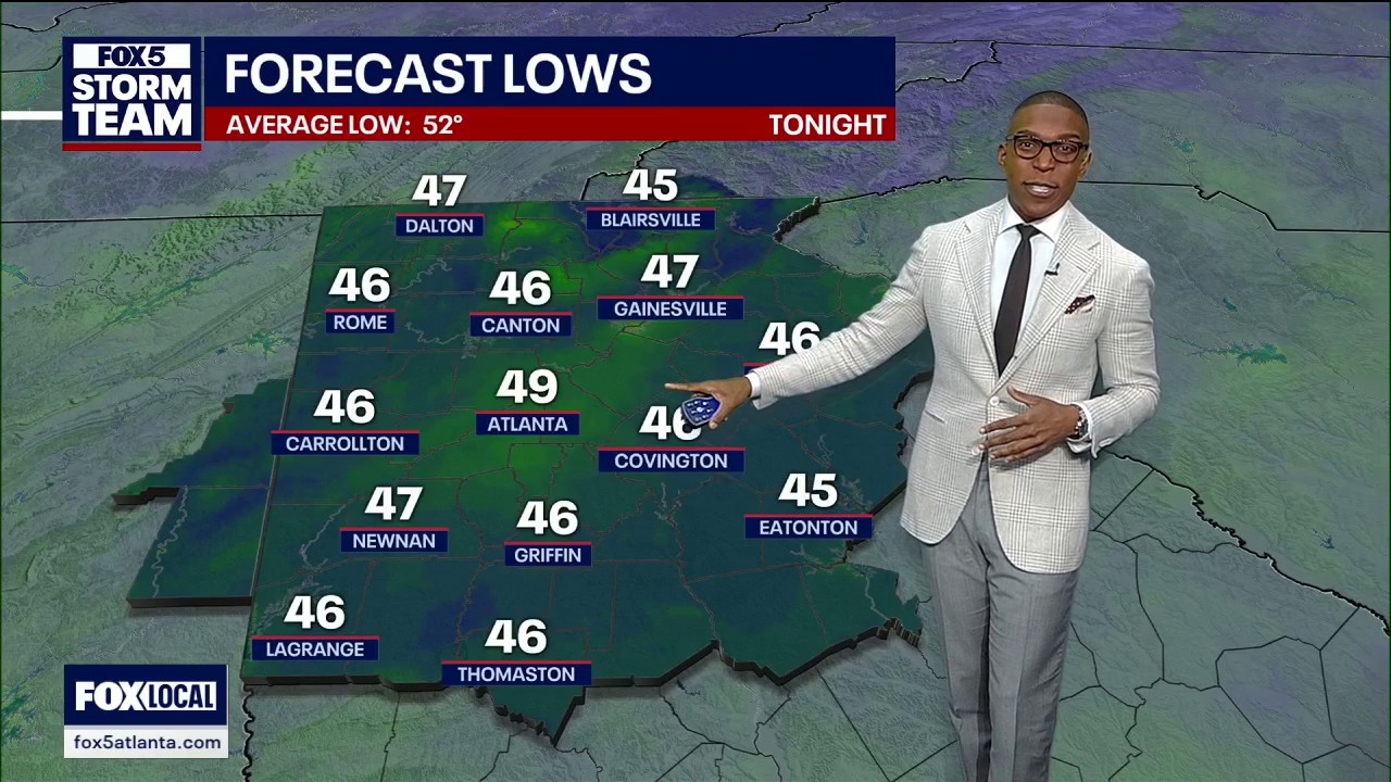 Tuesday evening weather forecast
FOX 5 Atlanta Chilly, November-like mornings and comfortable afternoons continue across North Georgia. Highs reach the mid-70s Wednesday with plenty of sunshine before a late-week cold front brings cooler air, leaving…
-
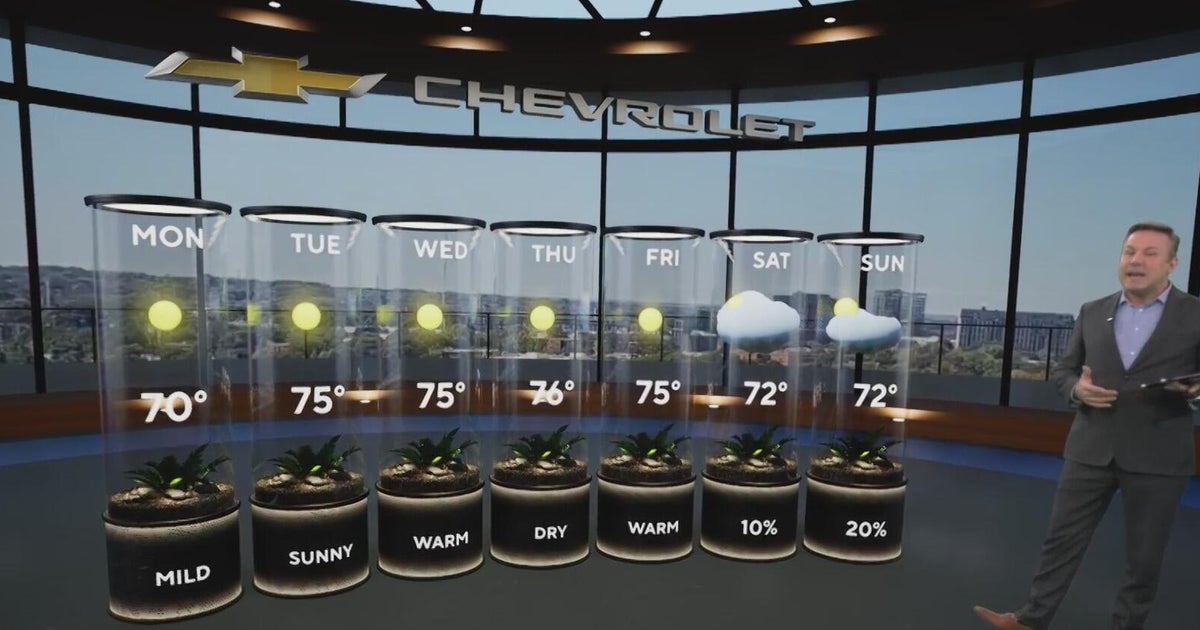 Sunshine and chilly mornings all week in Atlanta before weekend rain chances
CBS News Atlanta is a local news organization that is part of CBS News and Stations. Also referred to as WUPA and channel 69, CBS News Atlanta offers local breaking news, weather coverage and investigative reporting…
-
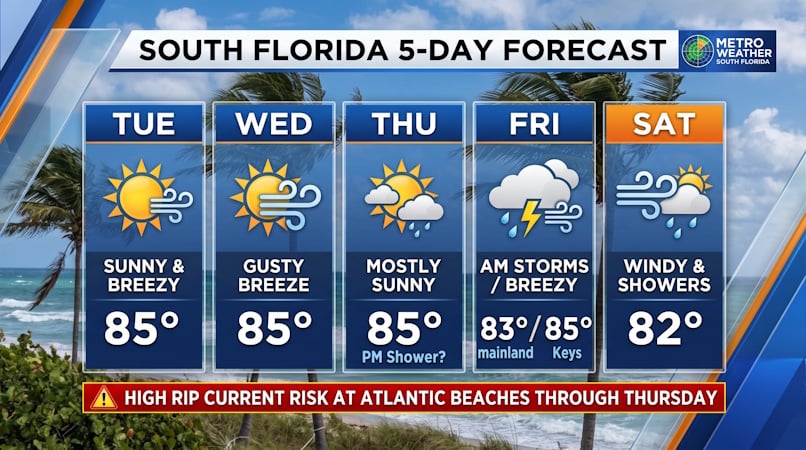 South Florida Forecast: Breezy Sun, Mid-80s Warmth, and Dangerous Atlantic Rip Currents
Donna Thomas has studied hurricanes for two decades. She holds a PhD in history when her experience with Hurricane Andrew ultimately led her to earn a degree in broadcast meteorology from Mississippi State University…
-
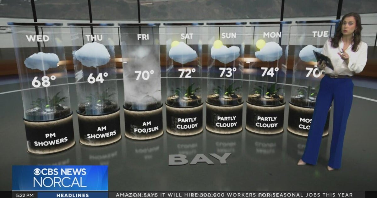 Tuesday evening First Alert weather forecast - 10/20/26
CBS News Tuesday evening First Alert weather forecast - 10/20/26 Becerra, Hilton campaign for California governor in Bay Area 2 weeks out from Election Day Oakland considers raising nuisance property fines to $10,000 a…
-
 FIRST ALERT FORECAST: Mostly sunny, 70s this afternoon
ATLANTA, Ga. (Atlanta News First) — It’ll be another nice day in north Georgia with warmer afternoon highs. Plan on the mid 70s in Atlanta with the upper 70s as you travel further south. Due to dry air in north Georgia…
Air quality
Air quality is satisfactory, and air pollution poses little or no risk.
Gainesville, GA reporting area · 1 hr ago. Data from AirNow (EPA and its state, local and tribal partners); preliminary and subject to change.
Sun & moon
Almanac
MonthlyAtlanta Dekalb Peachtree Ap, records since 1998. Normals 1991–2020. Data from NOAA's Regional Climate Centers (ACIS).
Nearby
- Atlanta 40 km
- Sandy Springs 32 km
- Roswell 31 km
- Johns Creek 17 km
- Alpharetta 27 km
- Marietta 47 km
- Smyrna 45 km
- Brookhaven 30 km
- Stonecrest 29 km
- Dunwoody 27 km
- Peachtree Corners 17 km
- Gainesville 42 km
Forecasters' discussion
From the National Weather Service office in FFC, issued 3 hrs ago
Key Messages
- Elevated fire danger will likely persist for at least parts of the area through Friday afternoon due to low relative humidity.
- Rain-free conditions and near-seasonal temperatures will remain for the next 7 days, with a slight cool-down Friday through the weekend.
Short Term
(This afternoon through Thursday) Issued at 200 PM EDT Wed Oct 21 2026
Dry conditions and pleasant, near-seasonal temperatures are expected through Thursday night. Northerly flow aloft and high pressure across the Southeast will maintain zero chance for rain and very little in the way of clouds. The dry air in place will make for elevated fire danger this afternoon and tomorrow (Thursday) afternoon. While winds will be light overall, low relative humidity could support rapid fire development. A Fire Danger Statement is in effect across much of north and central Georgia until 7 PM this evening, and another Fire Danger Statement will likely be needed for at least part (if not all) of the area again tomorrow.
Long Term
(Friday morning through next Tuesday) Issued at 200 PM EDT Wed Oct 21 2026
Expect little change in the long-term forecast with a building mid-level ridge centered over Texas and associated troughing oriented along the eastern seaboard, which will continue to amplify through Friday and shift off the coast by the weekend. Dry conditions will continue to be the theme with no chance of rain through at least the end of next week.
Otherwise, this pattern will reinforce the seasonably cooler conditions over our area through the first of next week. A resulting backdoor cold front will move through by Friday, increasing surface winds out of the northeast to around 5-10mph, with afternoon gusts up to 20mph through the weekend. Expect overnight lows to drop into the low to upper 40s and daytime highs ranging from the low 60s to upper 70s area wide this weekend. Expect a gradual warming trend as we move into the second half of next week.
Aviation
(18Z TAFS) Issued at 115 PM EDT Wed Oct 21 2026
VFR conditions will prevail through the TAF period. Winds will be light (generally less than 7 kts except for at ATL) and variable in direction. Winds may waffle on either side of due north tomorrow (Thursday) from late morning into the afternoon.
//ATL Confidence...18Z Update... High confidence on all elements.
Martin
Forecasts, observations and alerts in the United States come from the National Weather Service (NOAA); radar from NOAA's Multi-Radar Multi-Sensor system; satellite imagery from NASA's Global Imagery Browse Services (GIBS) and NOAA's GOES satellites; the map from the U.S. Geological Survey's National Map; air quality from AirNow (EPA and its partners); hurricane information from the National Hurricane Center; climate normals and records from NOAA's Regional Climate Centers (ACIS). Forecasts outside the United States and the UV index: MET Norway (CC BY 4.0); observations outside the U.S.: airport reports via NOAA's Aviation Weather Center. Place names: GeoNames (CC BY 4.0). Data are copied on a schedule and may lag the sources; for warnings that affect your safety, follow your local National Weather Service office and emergency officials. Weather news is drawn from the 4Search index and reflects what the press published. Terms of use.