Install
Boiling Springs, NC 28017 Weather
Current conditions
Observed at Shelby Municipal Airport · 1 hr ago
Forecast
10-day-
Tonight
Clear, with a low around 43. North wind around 1 mph.
-
Thursday
Sunny, with a high near 72. North wind around 2 mph.
-
Thursday Night
Clear, with a low around 43. North wind 0 to 3 mph.
National Weather Service forecast updated 2 hrs ago.
Hourly
Hourly forecast- Now54°
- 11 PM51°
- Thu12 AM50°
- 1 AM49°
- 2 AM48°
- 3 AM46°
- 4 AM46°
- 5 AM44°
- 6 AM43°
- 7 AM43°
- 8 AM43°
- 9 AM47°
- 10 AM56°
- 11 AM62°
- 12 PM65°
- 1 PM69°
- 2 PM71°
- 3 PM72°
- 4 PM72°
- 5 PM72°
- 6 PM69°
- 7 PM64°
- 8 PM58°
- 9 PM55°
10-day forecast
Details- TonightOct 21Clear43°
- ThuOct 22Sunny43°72°
- FriOct 23Sunny43°68°
- SatOct 24Sunny42°63°
- SunOct 25Sunny42°66°
- MonOct 26Sunny42°70°
- TueOct 27Sunny46°73°
- WedOct 28Mostly Sunny71°
- ThuOct 29Sunny49°72°
- FriOct 30Partly cloudy50°73°
Days after the National Weather Service's seven are MET Norway's outlook, a computer model with no forecaster's review.
Radar
Full mapWeather news in North Carolina
More weather news-
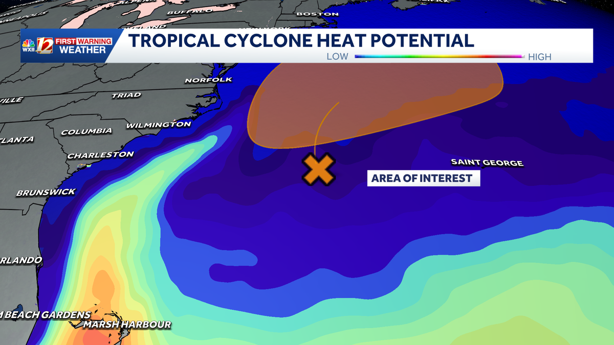
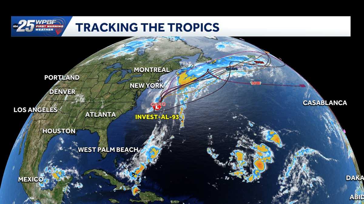 Low pressure off North Carolina could briefly turn subtropical while sending rough surf up the East Coast
A storm-force non-tropical low-pressure system located a few hundred miles off the North Carolina coast is producing shower and thunderstorm activity primarily west of its center. According to the National Hurricane…
-
-
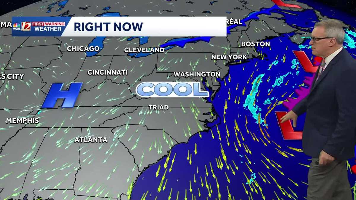 Sunny and seasonably cool weather across North Carolina this week
WXII Cold mornings will lead to seasonable, sunny afternoons in North Carolina this week Dress for 30s and 40s in the mornings Sunny weather will warm temperatures into the 60s and 70s in the afternoons Dry weather will…
-
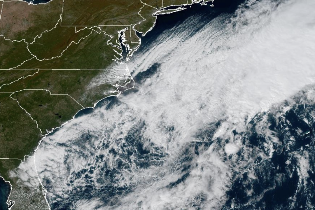 Weather System Off North Carolina Could Become Nor’Easter or Tropical Storm: What to Know
The National Weather Service and its National Hurricane Center are tracking a storm system sitting off the coast of North Carolina that has the opportunity to become either a proper Nor’easter or a Tropical Storm and is…
-
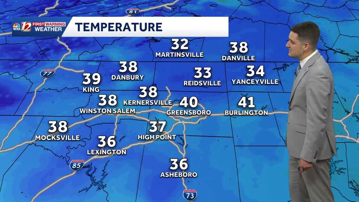 Cold Sunday morning in North Carolina, beautiful fall weather this week
WXII Cold Sunday morning in North Carolina, beautiful fall weather this week Meteorologist Dylan Hudler has your Sunday forecast Brrrr! Cold fall air is here! Sunday morning is the first time in the 30s for many…
-
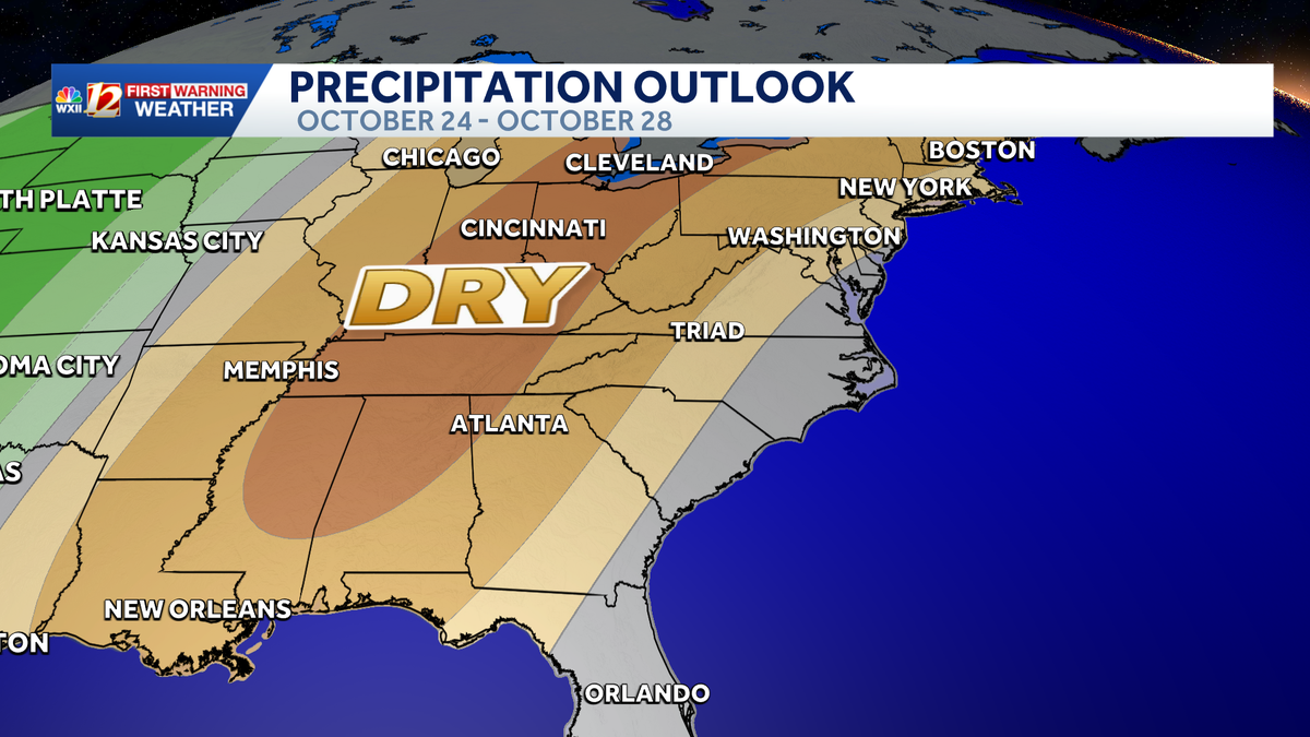 Seasonable highs ahead for the workweek in North Carolina | Cold mornings, tracking a coastal low
A dry pattern is developing for the coming workweek. Mostly sunny days will become seasonable through midweek, with highs in the 70s. A powerful cold front brought in a much colder air mass this weekend, but after two…
- UPDATE: Frost advisory for Western North Carolina for Sunday, says the NWS
On Saturday at 9 p.m. the NWS Greenville-Spartanburg SC released an updated frost advisory valid for Sunday between 1 a.m. and 9 a.m. The advisory is for Caldwell Mountains, Greater Caldwell, Burke Mountains, Greater…
-
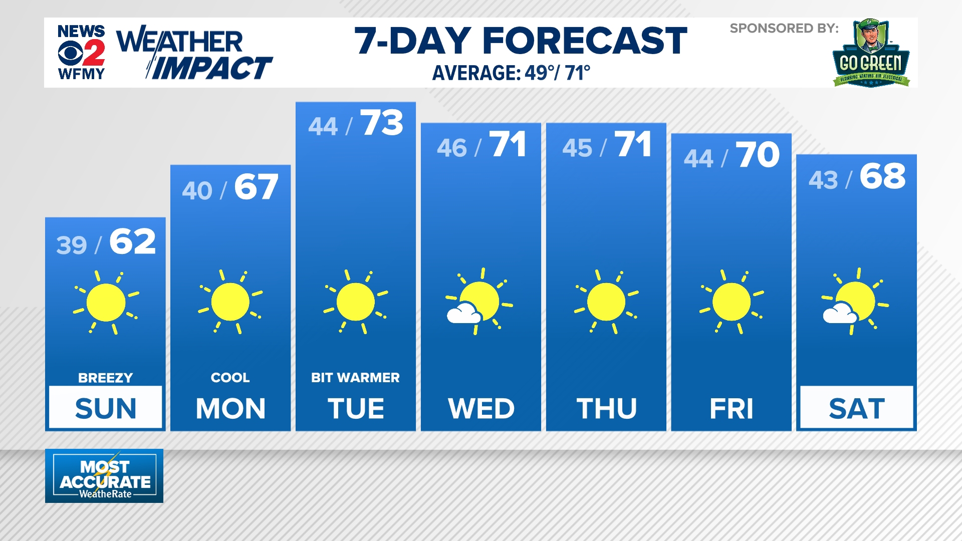 Cold mornings ahead for North Carolina
wfmynews2.com Cold mornings ahead for North Carolina To stream WFMY News 2 on your phone, you need the WFMY News 2 app. Download the WFMY News 2 app Next up in 5 Example video title will go here for this video Before…
-
 NWS: Snow spotted in North Carolina
FOX Carolina News NWS: Snow spotted in North Carolina Dabo Swinney's opening statement after Clemson shuts out Charleston Southern 37-0 Deputies search for missing, endangered woman with dementia last seen in…
-
 WATCH: Snow spotted in Yancey County, North Carolina
Forty- to thirty-degree temperatures are expected across the Carolinas. YANCEY COUNTY, N.C. (FOX Carolina) - Officials with the National Weather Service said snow has been spotted in North Carolina. A video provided by…
Air quality
Forecast
- WedGood (40)
- ThuGood (42)
- FriGood (40)
Cleveland County, NC reporting area. Data from AirNow (EPA and its state, local and tribal partners); preliminary and subject to change.
Sun & moon
Almanac
MonthlyShelby 2 Nw, records since 1893. Normals 1991–2020. Data from NOAA's Regional Climate Centers (ACIS).
Nearby
- Gastonia 44 km
- Spartanburg 42 km
- Shelby 13 km
- Morganton 55 km
- Mount Holly 59 km
- Gaffney 20 km
- Lincolnton 45 km
- Kings Mountain 30 km
- Belmont 57 km
- Lake Wylie 59 km
- Boiling Springs 37 km
- York 48 km
Forecasters' discussion
From the National Weather Service office in GSP, issued 1 hr ago
What Has Changed
Updated the aviation discussion for the 00Z TAF issuance.
Key Messages
1. Low-end fire danger conditions are expected again tomorrow. 2. Dry high pressure persists through early next week. Temperatures will fall below normal beginning Friday, then steadily return to normal through next week.
Discussion
Key message 1: Low-end fire danger conditions are expected again tomorrow.
Sunny conditions are still expected the next few days, with highs in the lower 70s and lows in the 40s east of the NC mountains. Forecast soundings for tomorrow continue to depict deep afternoon mixing and increasingly feature little to no inversion atop the mixed layer. As a result, still think there's potential for dewpoints to crash Thursday afternoon, resulting in RHs falling to critical values across much of the area. It is fortunate that low-level winds are expected to slacken enough that little to no overlap between critical RHs and dangerously gusty winds will take place.
Key message 2: Dry high pressure persists through early next week. Temperatures will fall below normal beginning Friday, then steadily return to normal through next week.
A broad surface high will remain in place through the remainder of the week, maintaining quiet conditions across the area. A pattern change is in store for Friday, as reinforcing high pressure settles over New England, instigating a brief period of synoptically-driven cold air damming going into the weekend. As a result, temperatures should settle a category or two below normal over the weekend...with lows in the low 40s...cold enough for some frost potential. Sans any good upper forcing, it still appears unlikely that any rain or significant cloud cover will develop with CAD...and the air mass will simply modify going into next week, allowing temperatures to creep back up toward normal.
Meanwhile, the upper pattern will finally show some signs of life beginning Sunday or Monday, as an upper low initially centered over the Four Corners region of the Southwest begins lifting northeastward, and ridging over the central and eastern CONUS starts to break down in response. By the end of the seven-day forecast period, a more progressive and dynamic upper pattern will be setting in, but incipient dry air is still expected to severely limit rain changes through the middle of next week.
Aviation
At KCLT and elsewhere: A seasonably dry air mass is forecast to result in continued VFR conditions at the TAF sites through this forecast period. Having said that, moisture is beginning to gradually increase, so there may be more in the way of early morning fog/low stratus along lakes and in mountain valleys Thu morning. The probability is too low to include any restrictions in the TAFS...although a tempo for 6SM/FEW001 FEW003 is included at KHKY from 10-12Z. Otherwise, mostly light NW=>NE winds are expected through much of the period.
Outlook: Dry, VFR conditions persist through the remainder of the week and into the weekend. Mountain valley fog and low stratus will be possible each morning.
Forecasts, observations and alerts in the United States come from the National Weather Service (NOAA); radar from NOAA's Multi-Radar Multi-Sensor system; satellite imagery from NASA's Global Imagery Browse Services (GIBS) and NOAA's GOES satellites; the map from the U.S. Geological Survey's National Map; air quality from AirNow (EPA and its partners); hurricane information from the National Hurricane Center; climate normals and records from NOAA's Regional Climate Centers (ACIS). Forecasts outside the United States and the UV index: MET Norway (CC BY 4.0); observations outside the U.S.: airport reports via NOAA's Aviation Weather Center. Place names: GeoNames (CC BY 4.0). Data are copied on a schedule and may lag the sources; for warnings that affect your safety, follow your local National Weather Service office and emergency officials. Weather news is drawn from the 4Search index and reflects what the press published. Terms of use.