Install
Martinsburg, WV 25404 Weather
Current conditions
Forecast for this hour (no station report in the last two hours)
Forecast
10-day-
Friday Night
Mostly clear, with a low around 32. Northeast wind 0 to 3 mph.
-
Saturday
Sunny, with a high near 63. Southeast wind 0 to 3 mph.
-
Saturday Night
Clear, with a low around 33. East wind around 2 mph.
National Weather Service forecast updated 1 day ago.
Hourly
Hourly forecast- Now38°
- 4 AM37°
- 5 AM36°
- 6 AM35°
- 7 AM35°
- 8 AM35°
- 9 AM40°
- 10 AM46°
- 11 AM53°
- 12 PM57°
- 1 PM60°
- 2 PM61°
- 3 PM63°
- 4 PM63°
- 5 PM61°
- 6 PM57°
- 7 PM51°
- 8 PM46°
- 9 PM43°
- 10 PM40°
- 11 PM39°
- Sun12 AM38°
- 1 AM37°
- 2 AM37°
10-day forecast
Details- TonightOct 22Clear40°
- FriOct 23Sunny32°62°
- TodayOct 24Sunny33°63°
- SunOct 25Sunny35°65°
- MonOct 26Sunny43°70°
- TueOct 27Mostly Sunny41°67°
- WedOct 28Partly Sunny44°63°
- ThuOct 29Partly Sunny68°
- FriOct 30Partly cloudy47°73°
- SatOct 31Partly cloudy44°62°
Days after the National Weather Service's seven are MET Norway's outlook, a computer model with no forecaster's review.
Radar
Full mapWeather news in West Virginia
More weather news-
 Freeze expected tonight in six West Virginia counties before mild, dry week
CHARLESTON, W.Va. — One more frosty night is in store for parts of West Virginia before a mild, dry stretch settles in for the week ahead. The MetroNews forecast calls for a freeze tonight into early Monday in…
- A Long Stretch of Dry and Sunny Weather in West Virginia
WDTV 5 BRIDGEPORT, W.Va (WDTV) - Weather Overview: A Stretch of Sunny Days and Chilly Nights The next 10 days look mainly dry and sunny here in North Central West Virginia (NCWV). For each afternoon, temperatures reach…
-
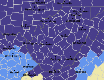 West Virginia under freeze warning for tonight
CHARLESTON, W.Va. — The National Weather has issued a freeze warning for the entire state for overnight Saturday into Sunday. The warning is posted for 1 a.m. to 9 a.m. Sunday. Meteorologists said sub-freezing…
-
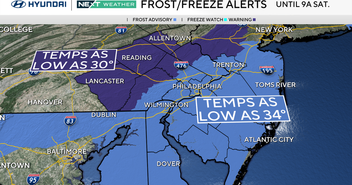 Freeze warning in effect for parts of Philadelphia region as chilly air moves in. Here's the weather forecast.
October 23, 2026 / 11:57 PM EDT / CBS Philadelphia With fall comes some frosty mornings, and that's exactly what's on tap this weekend in the Philadelphia region. Temperatures Saturday morning along the I-95 corridor…
-
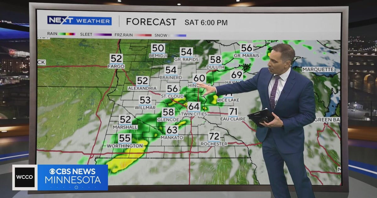 Minnesota weather to feature warm temps Saturday before cooldown | Oct. 23, 2026
CBS News Minnesota is a local news organization that is part of CBS News and Stations. Also referred to as WCCO-TV and channel 4, CBS News Minnesota offers local breaking news, weather coverage and investigative…
-
 Second storm to hit UK with more wind and rain as thousands remain without power
Rough sea along the Dorset coastline on Friday A second storm in as many days is set to batter parts of the UK, as thousands remain without power following powerful winds and heavy rain on Friday. Storm Boelo is…
-
 Before you crank up the thermostat, try these tips to keep your house warmer for longer
As the UK braces for a chilly weekend, with powerful winds and heavy rain hitting parts of the country, people are looking for ways to bring some warmth to their homes without cranking up the heating just yet. It is…
-
 Thunderstorms, heavy rain and flash flooding predicted for much of Australia
Parts of Queensland, Victoria and South Australia can expect severe storms on Saturday, moving into NSW and Tasmania by Sunday Severe thunderstorms and heavy rain will sweep across most Australian states this weekend…
-
 Storm Boelo expected to bring more disruption as hundreds still grapple with Austen power cuts
Storm Boelo is expected to bring wet and windy weather across large swathes of the country on Saturday, with Scotland being hit the hardest Yellow and amber warnings have been given for Scotland, northern England and…
-
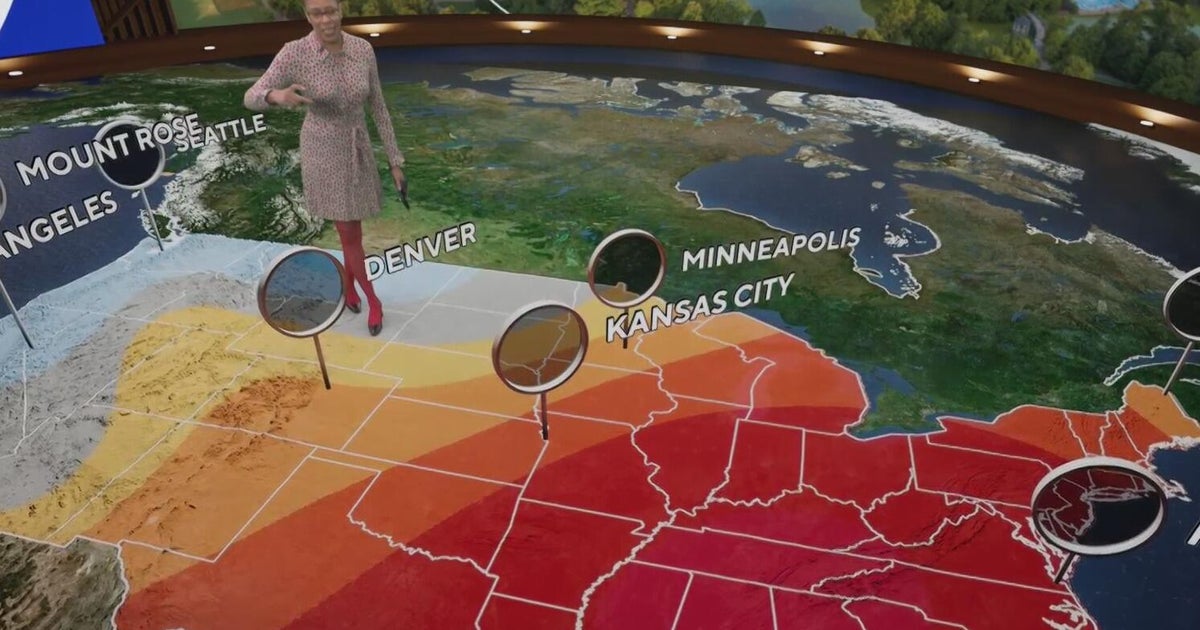 Fall weather in full force across Georgia this weekend
CBS News Atlanta is a local news organization that is part of CBS News and Stations. Also referred to as WUPA and channel 69, CBS News Atlanta offers local breaking news, weather coverage and investigative reporting…
Air quality
Air quality is satisfactory, and air pollution poses little or no risk.
Forecast
- SatModerate (53)
- SunModerate (56)
- MonModerate (56)
Martinsburg, WV reporting area · 1 hr ago. Data from AirNow (EPA and its state, local and tribal partners); preliminary and subject to change.
Sun & moon
Almanac
MonthlyMartinsburg Area, records since 1891. Normals 1991–2020. Data from NOAA's Regional Climate Centers (ACIS).
Nearby
- Frederick 42 km
- Leesburg 50 km
- Hagerstown 23 km
- Winchester 41 km
- Chambersburg 54 km
- Ballenger Creek 41 km
- Clarksburg 60 km
- Green Valley 55 km
- Waynesboro 41 km
- Halfway 19 km
- Purcellville 42 km
- Urbana 50 km
Forecasters' discussion
From the National Weather Service office in LWX, issued 1 hr ago
What Has Changed
A Coastal Flood Advisory has been issued for Annapolis. Otherwise, there have been no significant changes to the forecast thinking for the next seven days.
Key Messages
- 1) Frost or freezing temperatures are possible in many areas tonight and Sunday night.
- 2) Dry weather continues through next week along with generally seasonable temperatures.
Discussion
KEY MESSAGE 1...Frost or freezing temperatures are possible in many areas tonight and Sunday night.
With a large area of Canadian high pressure building overhead through the weekend, conditions will likely become favorable for radiational cooling (light to calm winds, mainly clear skies and a cool background airmass). At the moment, it is unclear which night will be the coldest, although tonight (Saturday night) will have a slight advantage given the position of the high overhead.
The growing season for 2026 has ended along and west of the Blue Ridge and Catoctin Mountains, but continues east of there. Any headlines for frost/freeze conditions will only be issued where the growing season remains active.
For tonight, more widespread cold (possible frost/freeze) conditions are possible as high pressure settles more directly overhead. This would bring the frost/freeze threat for most areas outside the major urban centers (downtown DC/Baltimore) and immediate shore of the Chesapeake Bay. If the colder guidance verifies, then the growing season may end for more areas west of I-95 come early Sunday morning. The high will remain overhead through Monday morning, and the low-level airmass doesn't change appreciably, so frost/freeze conditions will be possible again Sunday night.
Did not make appreciable changes to the previous min temperature forecasts, which are near or below the coldest guidance which performs best in radiational cooling (MOS, NBM 10 percentile and Canadian Regional).
KEY MESSAGE 2...Dry weather continues through next week along with generally seasonable temperatures.
Aviation
VFR conditions are expected to prevail through early next week. There are some hints that a slight uptick in low-level moisture could lead to some patchy fog during the early morning hours through the weekend, though confidence in timing and extent of sub-VFR is low at this time. The NAM and related guidance is by far the most aggressive with this outcome, but is an outlier.
E to SE flow is expected today, with light to calm winds again tonight. Wind direction may be a bit variable, ranging from SE to NE as high pressure passes directly overhead Sunday.
P6SM SKC as high pressure dominates early next week. A dry cold front will cross the area late Monday night with winds shifting to N/NW Tuesday.
Forecasts, observations and alerts in the United States come from the National Weather Service (NOAA); radar from NOAA's Multi-Radar Multi-Sensor system; satellite imagery from NASA's Global Imagery Browse Services (GIBS) and NOAA's GOES satellites; the map from the U.S. Geological Survey's National Map; air quality from AirNow (EPA and its partners); hurricane information from the National Hurricane Center; climate normals and records from NOAA's Regional Climate Centers (ACIS). Forecasts outside the United States and the UV index: MET Norway (CC BY 4.0); observations outside the U.S.: airport reports via NOAA's Aviation Weather Center. Place names: GeoNames (CC BY 4.0). Data are copied on a schedule and may lag the sources; for warnings that affect your safety, follow your local National Weather Service office and emergency officials. Weather news is drawn from the 4Search index and reflects what the press published. Terms of use.