Install
Fredericksburg, VA 22405 Weather
Current conditions
Forecast for this hour (no station report in the last two hours)
Forecast
10-day-
Tonight
Clear, with a low around 47. North wind around 7 mph.
-
Wednesday
Sunny, with a high near 66. North wind around 8 mph.
-
Wednesday Night
Mostly clear, with a low around 44. North wind 2 to 6 mph.
National Weather Service forecast updated 10 hrs ago.
Hourly
Hourly forecast- Now66°
- 7 PM63°
- 8 PM60°
- 9 PM58°
- 10 PM57°
- 11 PM57°
- Wed12 AM56°
- 1 AM54°
- 2 AM53°
- 3 AM52°
- 4 AM51°
- 5 AM49°
- 6 AM48°
- 7 AM47°
- 8 AM48°
- 9 AM50°
- 10 AM54°
- 11 AM58°
- 12 PM61°
- 1 PM61°
- 2 PM63°
- 3 PM63°
- 4 PM65°
- 5 PM63°
10-day forecast
Details- TodayOct 20Sunny47°70°
- WedOct 21Sunny44°66°
- ThuOct 22Sunny47°68°
- FriOct 23Sunny40°61°
- SatOct 24Sunny40°60°
- SunOct 25Sunny44°66°
- MonOct 26Mostly Sunny50°70°
- TueOct 27Partly cloudy49°69°
- WedOct 28Cloudy51°65°
- ThuOct 29Cloudy55°71°
Days after the National Weather Service's seven are MET Norway's outlook, a computer model with no forecaster's review.
Radar
Full mapWeather news near Fredericksburg
More weather news-
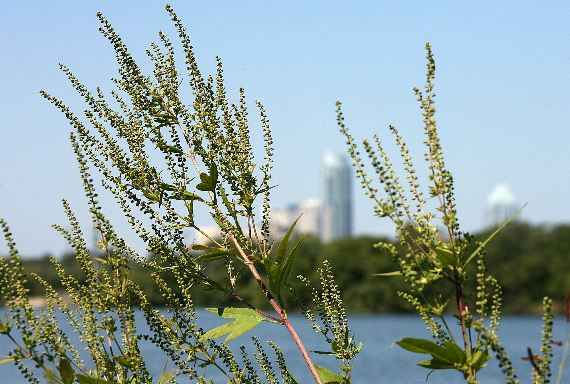 Austin pollen forecast as warm, dry weather returns
Ragweed pollen is wreaking havoc with allergies in Austin. Austin’s brief taste of fall is giving way to a stretch of sunny, warmer weather that could also keep allergy symptoms in the picture. Last week’s cold front…
-
 After cool Sunday, big changes expected for South Texas weather. Here's what's next.
If you're a fall-weather fan, then Sunday will be the absolute perfect day to get outside. A chilly, crisp morning will be followed by a cool, sunny afternoon with very little wind throughout the region. After making it…
-
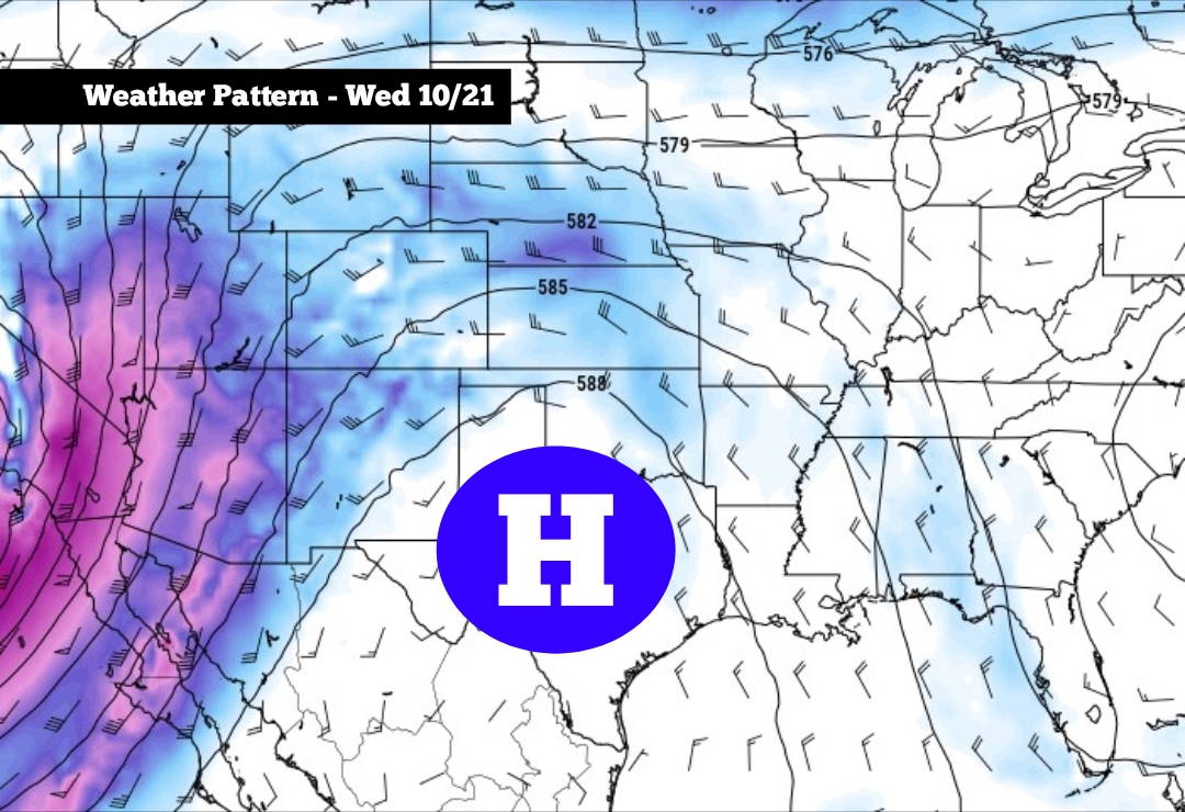 After cool Sunday, big changes expected for South Texas weather
High pressure is expected to develop across Texas this week, especially by Wednesday and Thursday If you’re a fall-weather fan, then Sunday will be the absolute perfect day to get outside. A chilly, crisp morning will…
-
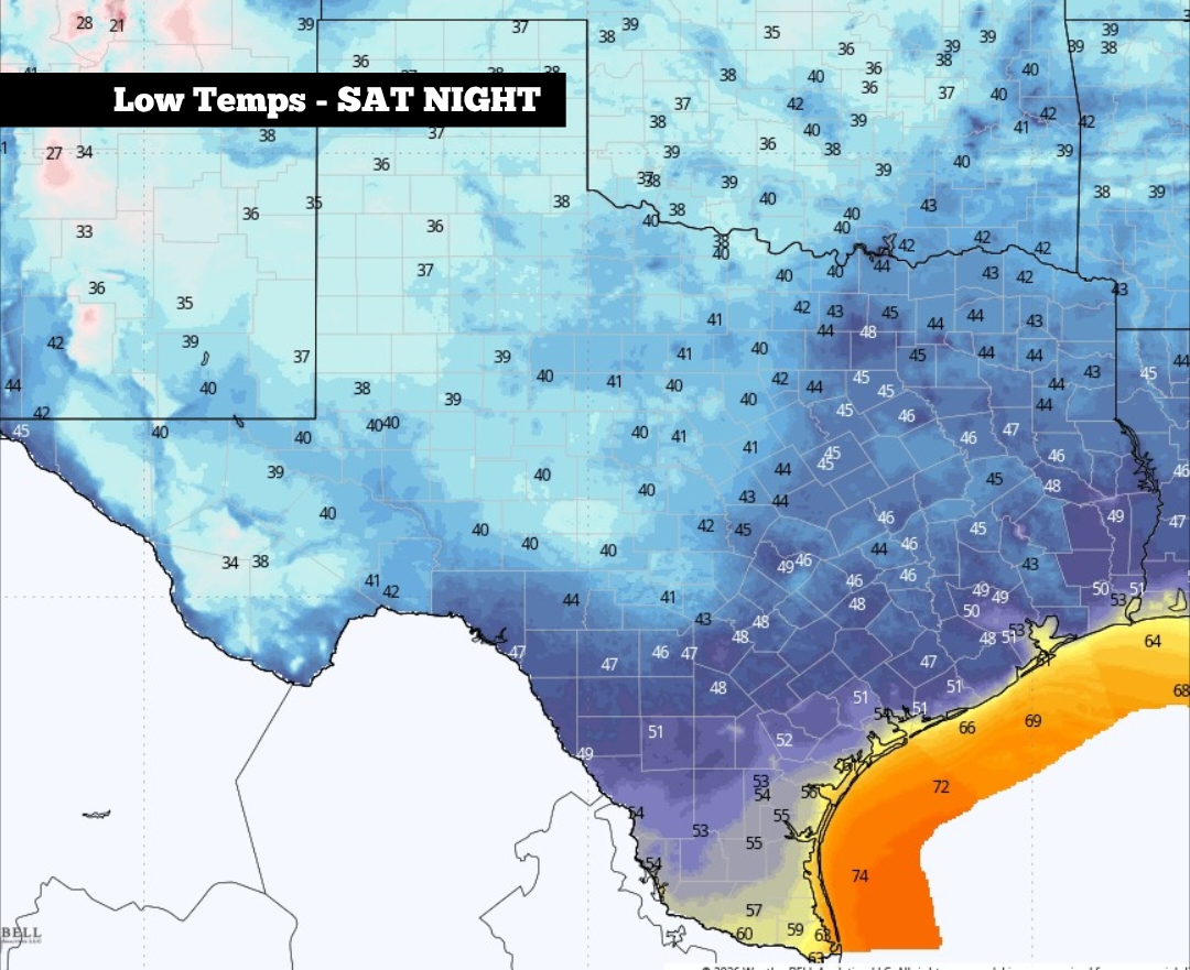 South Texas temps to reach the 40s. Here’s how long it’ll last.
Shown are the expected low temperatures across Texas overnight Saturday into early Sunday. The first significant cold front of fall blew through San Antonio on Friday, and it packed quite a punch. It brought a 20-degree…
-
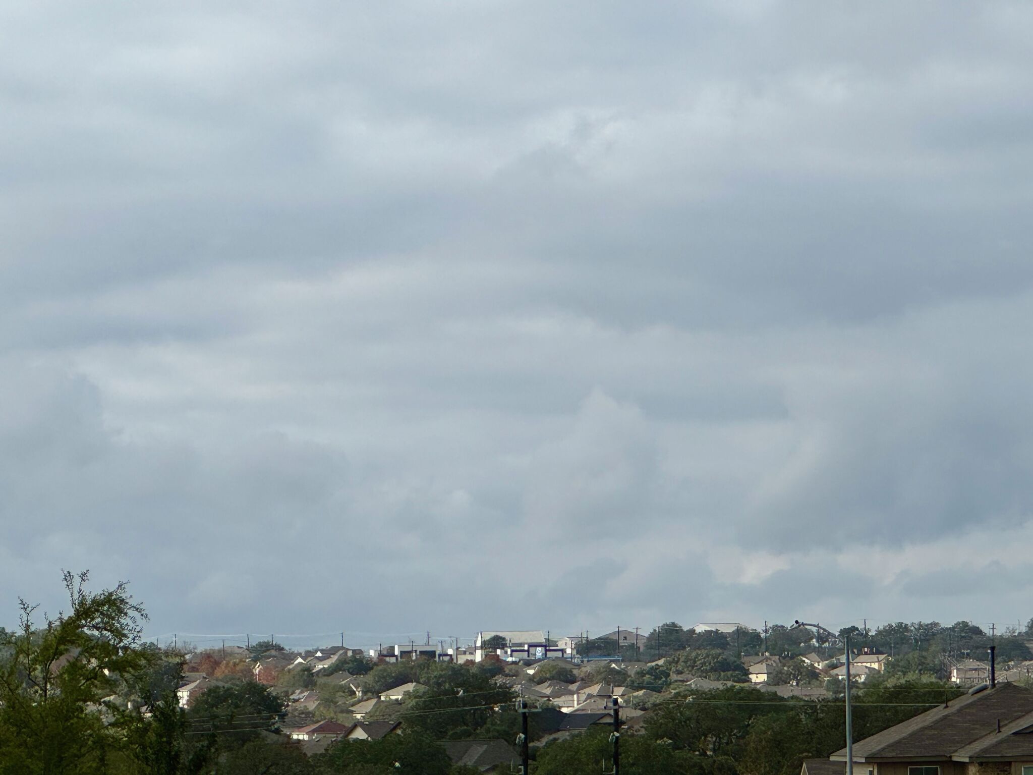 Cold front brings cold weather to San Antonio on Saturday
A strong cold front brings San Antonio-area temperatures down to the 40s on Saturday, October 16, 2026. Here are the cities that will experience it. San Antonio residents are enjoying cooler weather this week thanks to…
-
 Cold front brings cold weather to San Antonio. Here's the forecast.
San Antonio residents are enjoying cooler weather this week thanks to a strong Texas cold front. A jacket or long sleeves will still be needed on Saturday, October 16, as breezy conditions continue. According to the…
-
 First Freeze of the Season Tonight in the Texas Panhandle
The first freeze of the fall season hits the Texas Panhandle and South Plains tonight, with 28 in Dalhart. Crashy the Cold Front has arrived, bringing gusty north winds and Extreme fire danger to East Texas today. Texas…
-
 Strong cold front to bring 45-mph wind gusts, huge temperature drop to South Texas
Over the past 10 days, San Antonio's average high temperature has been 91 degrees - abnormally hot for the first half of October. But on Friday, drastic changes are expected throughout South-Central Texas, as the first…
-
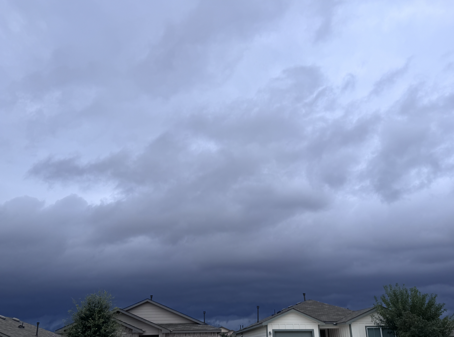 Cold front to send San Antonio temps plunging. How cold will it get?
A cold front arrives in San Antonio, Texas, bringing up to a 20-degree temperature drop and rain showers in October 2026. If you've been itching to wear a long-sleeve shirt, now is your time. A cold front has arrived in…
-
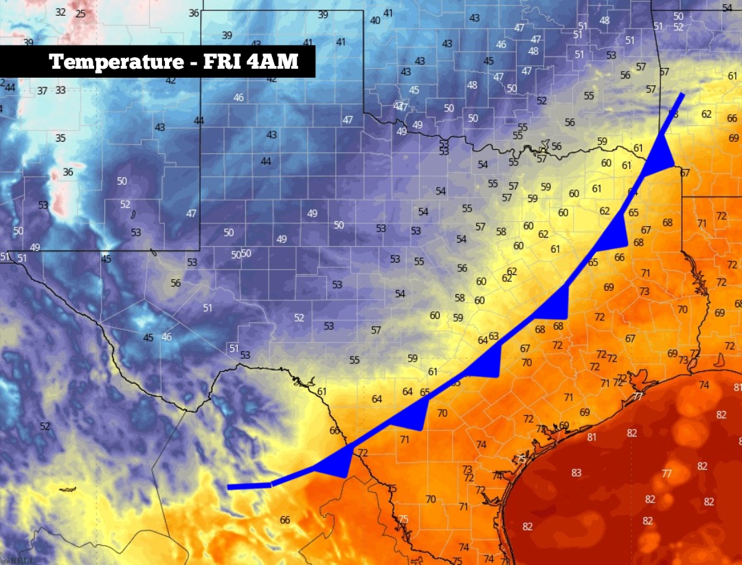 Cold front to hit South Texas late tonight. Here’s a timeline.
Shown is the likely position of the cold front at 4 a.m. Friday, just as it pushes through the San Antonio metro area You may want to start digging through the closet to find a sweater or a jacket, because the…
Air quality
Air quality is satisfactory, and air pollution poses little or no risk.
Forecast
- TueGood (28)
- WedGood (22)
- ThuGood (28)
Southern Maryland, MD reporting area · 1 hr ago. Data from AirNow (EPA and its state, local and tribal partners); preliminary and subject to change.
Sun & moon
Almanac
MonthlyQuantico Mcas, records since 1945. Normals 1991–2020. Data from NOAA's Regional Climate Centers (ACIS).
Nearby
- Centreville 56 km
- Waldorf 54 km
- Dale City 35 km
- Manassas 46 km
- Lake Ridge 41 km
- Burke 53 km
- Annandale 59 km
- Saint Charles 53 km
- Linton Hall 49 km
- St. Charles 54 km
- Springfield 55 km
- Fairfax 58 km
Forecasters' discussion
From the National Weather Service office in LWX, issued 5 hrs ago
What Has Changed
No significant changes to the forecast.
Key Messages
- 1) Cool and dry weather continues through the weekend, although a slow-moving Nor'easter off the coast will bring gusty winds along the Chesapeake Bay and minor tidal flooding at times through Friday.
Discussion
KEY MESSAGE 1...Cool and dry weather continues through the weekend, although a slow-moving Nor'easter off the coast will bring gusty winds along the Chesapeake Bay and minor tidal flooding at times through Friday.
Surface high pressure remains over the forecast area through the forecast period as a Nor'easter continues to drift offshore. A tight pressure gradient between surface high pressure nearby and the offshore Nor'easter will yield gusty conditions daily, mainly along and east of the I-95 corridor. Under high pressure, temperatures moderate through Thursday with high temperatures in the 50s and 60s. Overnight low temperatures will be in the 30s and 40s through Thursday night. Aloft, upper level troughing develops across the eastern CONUS as ridging develops over central CONUS. By Thursday, the Nor'easter is absorbed into the upper trough and tracks off the coast of New England.
Surface high pressure builds southward out of southeastern Canada and eastern Great Lakes regions into the mid-Atlantic Friday through Monday. Dry conditions are expected each day with a gradual moderating trend in temperatures.
Aviation
VFR conditions continue as surface high pressure builds overhead and dry conditions persist. Winds remain primarily out of the north each day with terminals near the airport gusting around 15 knots in the afternoon. Otherwise, terminals can expect light northerly winds, no precipitation, and VFR conditions.
VFR conditions Friday through Saturday night. Winds generally north 5 to 15 knots.
Forecasts, observations and alerts in the United States come from the National Weather Service (NOAA); radar from NOAA's Multi-Radar Multi-Sensor system; satellite imagery from NASA's Global Imagery Browse Services (GIBS) and NOAA's GOES satellites; the map from the U.S. Geological Survey's National Map; air quality from AirNow (EPA and its partners); hurricane information from the National Hurricane Center; climate normals and records from NOAA's Regional Climate Centers (ACIS). Forecasts outside the United States and the UV index: MET Norway (CC BY 4.0); observations outside the U.S.: airport reports via NOAA's Aviation Weather Center. Place names: GeoNames (CC BY 4.0). Data are copied on a schedule and may lag the sources; for warnings that affect your safety, follow your local National Weather Service office and emergency officials. Weather news is drawn from the 4Search index and reflects what the press published. Terms of use.