Install
Owings Mills, MD 21117 Weather
Current conditions
Forecast for this hour (no station report in the last two hours)
Forecast
10-day-
Thursday Night
Mostly clear, with a low around 44. North wind around 9 mph, with gusts as high as 20 mph.
-
Friday
Sunny, with a high near 62. Northeast wind 5 to 8 mph.
-
Friday Night
Mostly clear, with a low around 37.
National Weather Service forecast updated 1 day ago.
Hourly
Hourly forecast- Now50°
- 1 AM49°
- 2 AM49°
- 3 AM48°
- 4 AM47°
- 5 AM46°
- 6 AM46°
- 7 AM44°
- 8 AM44°
- 9 AM47°
- 10 AM51°
- 11 AM55°
- 12 PM58°
- 1 PM59°
- 2 PM60°
- 3 PM61°
- 4 PM62°
- 5 PM60°
- 6 PM56°
- 7 PM52°
- 8 PM47°
- 9 PM44°
- 10 PM42°
- 11 PM41°
10-day forecast
Details- WedOct 21Sunny41°63°
- ThuOct 22Sunny44°64°
- TodayOct 23Sunny37°62°
- SatOct 24Patchy Frost then Sunny39°61°
- SunOct 25Sunny42°64°
- MonOct 26Sunny47°68°
- TueOct 27Mostly Sunny45°67°
- WedOct 28Light rain0.04 in51°64°
- ThuOct 29Cloudy55°67°
- FriOct 30Cloudy52°70°
Days after the National Weather Service's seven are MET Norway's outlook, a computer model with no forecaster's review.
Radar
Full mapWeather news near Owings Mills
More weather news-
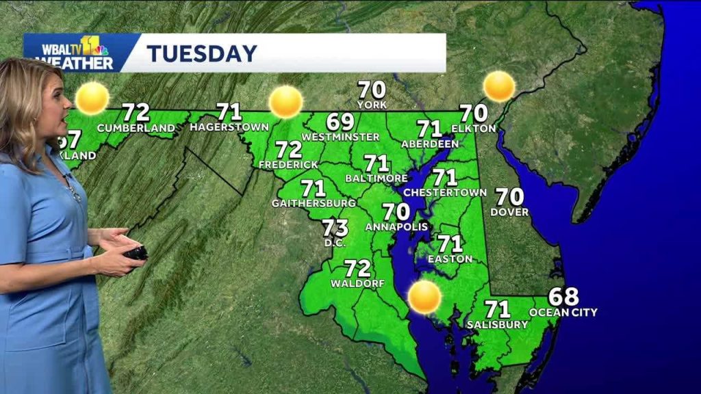 Chilly morning turns into a mild Tuesday in Baltimore
We’re in for a beautiful week in the Baltimore are while a coastal storm stays just offshore. The storm will cause some big waves and strong winds at the beach. It will be another chilly morning, though not quite as…
-
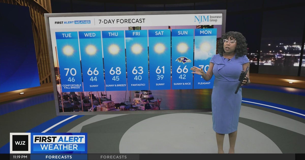 Cool, nice, breezy weather continues in Maryland
CBS News Cool, nice, breezy weather continues in Maryland 1 killed in triple shooting near NW Baltimore gas station Ravens will try to bounce back after disappointing loss in Cleveland | Purple Connection Baltimore…
-
 Weather: Sunny week in Baltimore, with big waves at the beach
WBAL News Radio Weather: Sunny week in Baltimore, with big waves at the beach Meteorologist Alena Lee describes frost advisories will go in effect until 9AM; sunny and seasonable Monday afternoon. It will be sunny this…
-
 Baltimore weather: Sunny skies, high near 71 expected Tuesday
Maryland is expected to see sunny skies Tuesday, with temperatures reaching the low 70s before cooler weather settles in for the rest of the week. Tuesday will be sunny with a high near 71 degrees. North winds will…
-
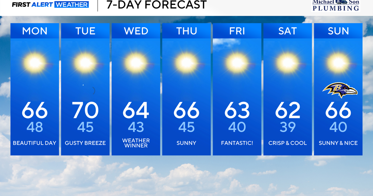 Classic fall weather and feel across Maryland this week
Updated on: October 19, 2026 / 8:36 AM EDT / CBS Baltimore A powerful offshore storm to our east and high pressure nearby will allow for a beautiful fall week ahead. This dry stretch of weather will be rather impressive…
-
 Baltimore weather: Sunny skies and cooler days ahead for Baltimore
The Baltimore area is headed into a sunny, clear week with temperatures in the 60s. Sunday is expected to be sunny with a high of 61 and a slight 7 mph breeze. Conditions are forecast to remain clear into Sunday…
-
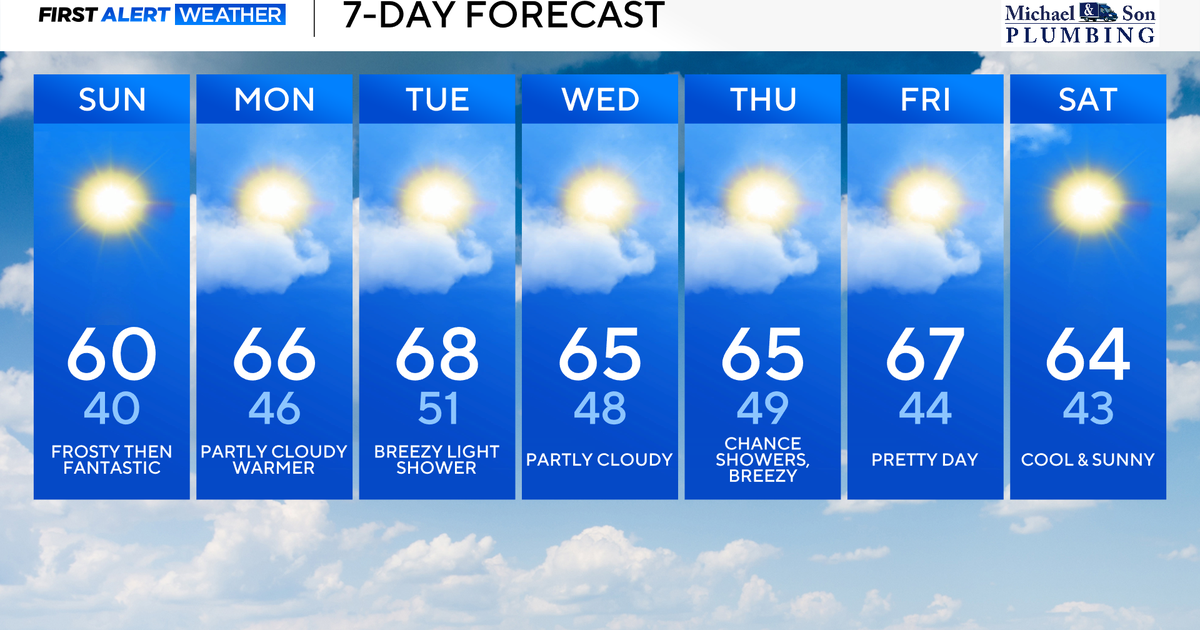 Surplus sunshine across Maryland to end the weekend
CBS News Baltimore is a local news organization that is part of CBS News and Stations. Also referred to as WJZ-TV and channel 13, CBS News Baltimore offers local breaking news, weather coverage and investigative…
- Baltimore Weather Forecast: Showers, Gusty Winds And Sunny Sunday
Baltimore's weather whiplash continues Saturday, with early rain showers giving way to a cold, windy afternoon and a high near 56. The rain should clear out quickly, but the chilly air is sticking around through the…
-
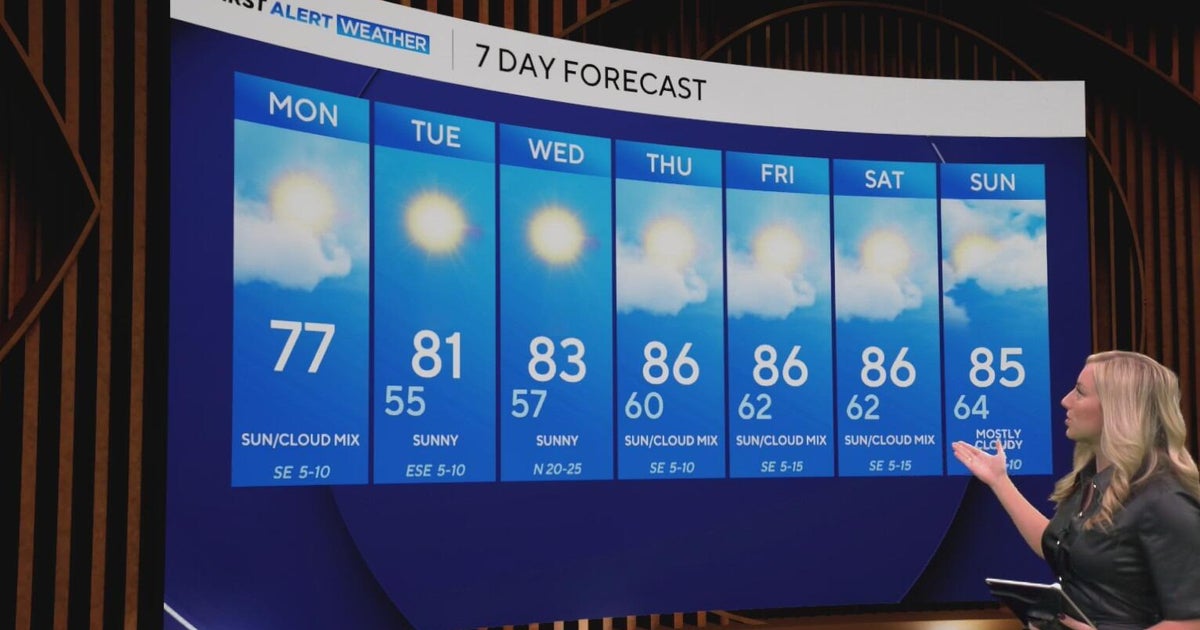 Cool and crisp morning in store for North Texas as temperatures top out in 70s, 80s this week
CBS News Baltimore 8am CBS News Boston 8am CBS News Chicago 7am CBS News Colorado This Morning 6am CBS News Los Angeles Mornings 5am CBS News Miami 8am CBS News New York 8am CBS News Texas 7am
-
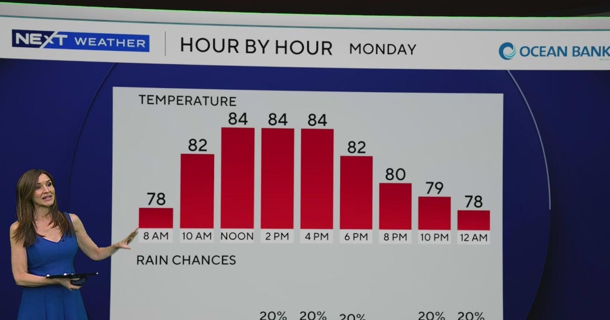 South Florida to see lower rain chances, cooler temperatures this week
CBS News Baltimore 8am CBS News Boston 8am CBS News Chicago 7am CBS News Colorado This Morning 6am CBS News Los Angeles Mornings 5am CBS News Miami 8am CBS News New York 8am CBS News Texas 7am
Air quality
Air quality is satisfactory, and air pollution poses little or no risk.
Forecast
- FriGood (33)
- SatModerate (53)
- SunModerate (55)
Metro Baltimore, MD reporting area · 2 hrs ago. Data from AirNow (EPA and its state, local and tribal partners); preliminary and subject to change.
Sun & moon
Almanac
MonthlyBaltimore Downtown Area, records since 1950. Normals 1991–2020. Data from NOAA's Regional Climate Centers (ACIS).
Nearby
- Baltimore 21 km
- Columbia 21 km
- Germantown 51 km
- Silver Spring 53 km
- Frederick 54 km
- Glen Burnie 32 km
- Gaithersburg 48 km
- Rockville 50 km
- Ellicott City 18 km
- Dundalk 29 km
- Bethesda 57 km
- Bowie 54 km
Forecasters' discussion
From the National Weather Service office in LWX, issued 3 hrs ago
What Has Changed
No changes needed. Coastal flooding advisories remain in effect for many locations. Check the latest CFW for updates. Also, see the marine forecast discussion below for details about the small craft advisories into Friday.
Key Messages
- 1) Dry and seasonable conditions continue through early next week, with frost possible this weekend.
Discussion
KEY MESSAGE 1...Dry and seasonable conditions continue through early next week, with frost possible this weekend.
Surface high pressure remains to the north through Saturday with dry and seasonable conditions expected to continue. Tonight's low temperatures will be in the upper 30s to 40s. For Friday and Saturday, surface high pressure extends southward from Canada with dry cold fronts bringing in cooler air. High temperatures stay in the 50s to low 60s while overnight lows plummet into the 30s for most. The exception will be east of the I-95 corridor where low temperatures stay in the low 40s. Frost is possible Friday night and Saturday night.
High pressure will continue to build southward into the region Sunday through Tuesday. Dry conditions and seasonable temperatures expected each day with light north to east winds. A backdoor cold front could try to push into the region Tuesday into Tuesday night, but will have very little to no moisture with it to produce any precipitation. A surge of cooler temperatures will follow behind the front for the day on Wednesday.
Aviation
Winds become light overnight before shifting to northeast on Friday. Winds blow 5 to 10 knots on Friday before becoming light and variable overnight. On Saturday, winds shift to easterly, remaining light throughout the day. VFR conditions are expected each day.
VFR conditions Sunday through Monday night. Winds light and variable through the period as high pressure sits overhead. Winds then turn out of the NNE on Tuesday AOB 10 knots for the most part.
Forecasts, observations and alerts in the United States come from the National Weather Service (NOAA); radar from NOAA's Multi-Radar Multi-Sensor system; satellite imagery from NASA's Global Imagery Browse Services (GIBS) and NOAA's GOES satellites; the map from the U.S. Geological Survey's National Map; air quality from AirNow (EPA and its partners); hurricane information from the National Hurricane Center; climate normals and records from NOAA's Regional Climate Centers (ACIS). Forecasts outside the United States and the UV index: MET Norway (CC BY 4.0); observations outside the U.S.: airport reports via NOAA's Aviation Weather Center. Place names: GeoNames (CC BY 4.0). Data are copied on a schedule and may lag the sources; for warnings that affect your safety, follow your local National Weather Service office and emergency officials. Weather news is drawn from the 4Search index and reflects what the press published. Terms of use.