Install
King Of Prussia, PA 19406 Weather
Current conditions
Observed at Pottstown, Pottstown Limerick Airport · 46 min ago
Forecast
10-day-
Tuesday
Sunny, with a high near 66.
-
Tuesday Night
Partly cloudy, with a low around 43.
-
Wednesday
Partly sunny, with a high near 63.
National Weather Service forecast updated 4 days ago.
Hourly
Hourly forecast- Now55°
- 11 AM59°
- 12 PM61°
- 1 PM63°
- 2 PM64°
- 3 PM65°
- 4 PM66°
- 5 PM65°
- 6 PM63°
- 7 PM60°
- 8 PM57°
- 9 PM54°
- 10 PM51°
- 11 PM49°
- Wed12 AM48°
- 1 AM47°
- 2 AM46°
- 3 AM45°
- 4 AM44°
- 5 AM44°
- 6 AM43°
- 7 AM43°
- 8 AM44°
- 9 AM47°
10-day forecast
Details- TonightOct 22Clear43°
- FriOct 23Sunny34°61°
- SatOct 24Patchy Frost then Sunny36°63°
- SunOct 25Patchy Frost then Sunny40°66°
- MonOct 26Sunny47°69°
- TodayOct 27Sunny43°66°
- WedOct 28Partly Sunny45°63°
- ThuOct 29Mostly Sunny66°
- FriOct 30Partly cloudy51°72°
- SatOct 31Mostly sunny45°61°
Days after the National Weather Service's seven are MET Norway's outlook, a computer model with no forecaster's review.
Radar
Full mapWeather news near King of Prussia
More weather news-
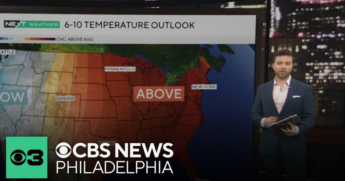 Beautiful stretch of October weather in Philadelphia region
CBS News Philadelphia is a local news organization that is part of CBS News and Stations. Also referred to as KYW-TV and channel 3, CBS News Philadelphia offers local breaking news, weather coverage and investigative…
-
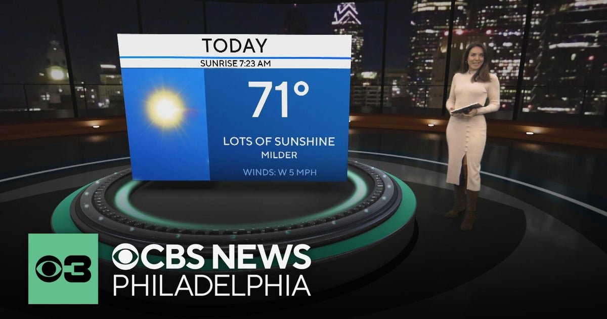 Mild and dry fall weather with clear skies in the Philadelphia region | NEXT Weather
CBS News Bay Area Evening Edition 11pm WBZ This Morning 5am CBS News Detroit 5am CBS News Los Angeles Weekend 11pm CBS News Miami 5am CBS News Philadelphia 5am KDKA-TV Morning News 5am
-
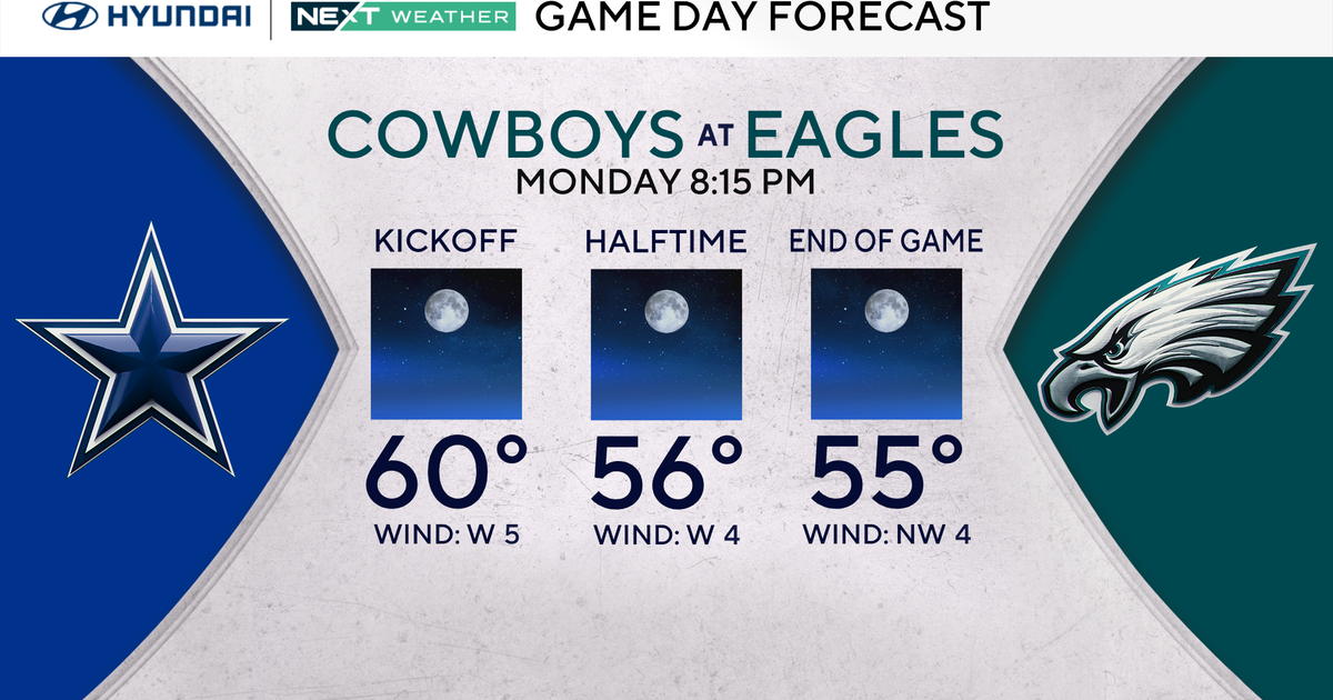 Terrific stretch of October weather continues for Philadelphia Eagles-Dallas Cowboys game Monday
October 25, 2026 / 11:52 PM EDT / CBS Philadelphia It will be a beautiful start to the workweek with plenty of sunshine, light winds and temperatures climbing to around 70 degrees in the Philadelphia region. We're…
- Philadelphia Frost Advisory Gives Way To Sunny Fall Week
A Frost Advisory remains in effect for Philadelphia and nearby parts of Southeast Pennsylvania through 9 a.m. Sunday. The National Weather Service says frost could harm sensitive outdoor plants, so gardeners with tender…
-
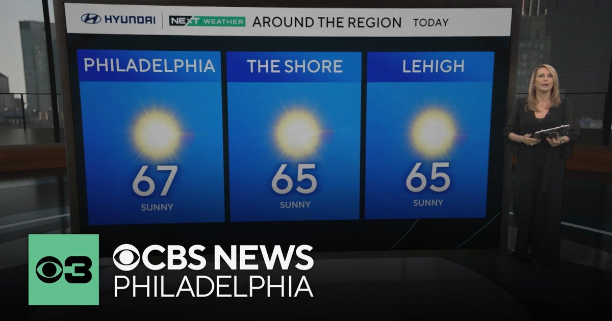 Fall foliage reaching its peak across Philadelphia area, more frosty mornings ahead | NEXT Weather
CBS News Bay Area Morning Edition Weekend 6am WBZ This Morning 8am CBS Colorado Mornings Weekend CBS News Los Angeles Weekend 6am CBS Miami News Sunday Morning CBS News New York Sunday 8am KDKA News This Morning Sunday…
-
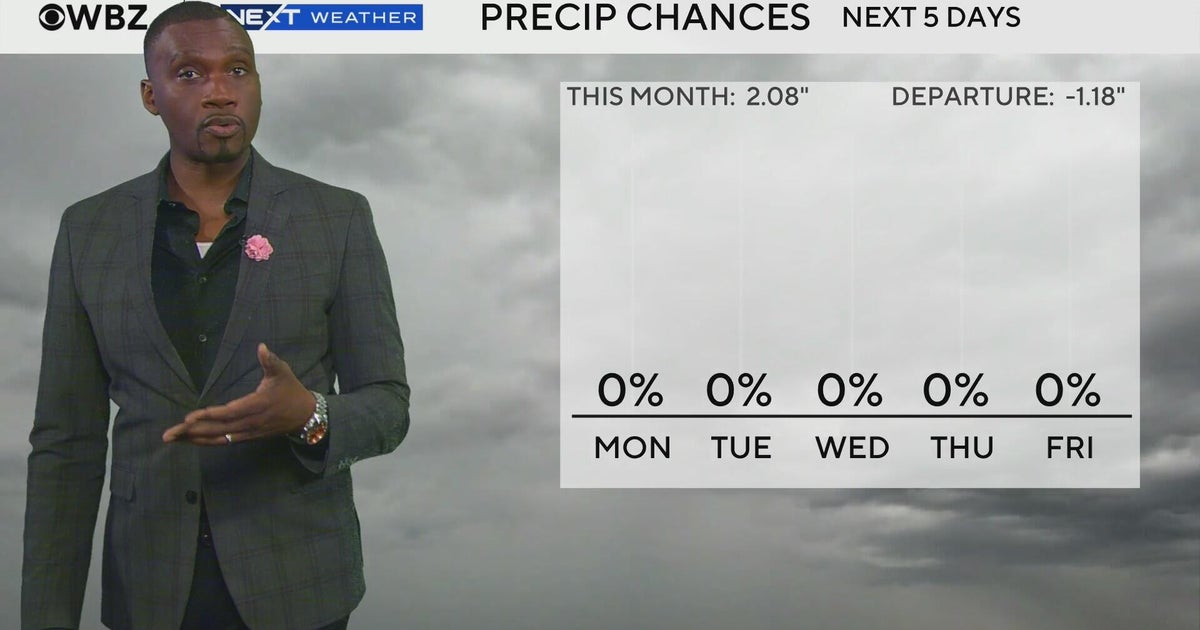 Next Weather: WBZ morning forecast for Oct. 26, 2026
CBS News Bay Area Evening Edition 11pm WBZ This Morning 5am CBS News Detroit 5am CBS News Los Angeles Weekend 11pm CBS News Miami 5am CBS News Philadelphia 5am KDKA-TV Morning News 5am
-
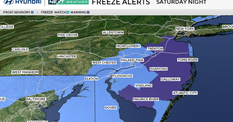 Frosty start to Sunday in Philadelphia region; fabulous fall weather for Eagles-Cowboys Monday
October 24, 2026 / 11:38 PM EDT / CBS Philadelphia Sunday will be a beautiful fall day in the Philadelphia region with plenty of sunshine, light winds and temperatures beginning to moderate after another frosty start…
-
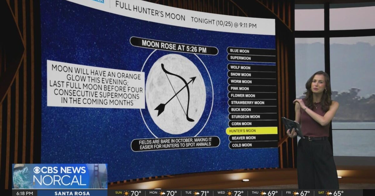 First Alert Weather Sunday evening forecast 10-25-26
CBS News Bay Area Evening Edition Weekend 6pm CBS News Detroit Weekend 6:30pm CBS News Miami 6:30pm CBS Philadelphia at 6:30pm KDKA News Weekend 10pm Your Community Stories From Your Reporters CBS News Texas 5:30pm
-
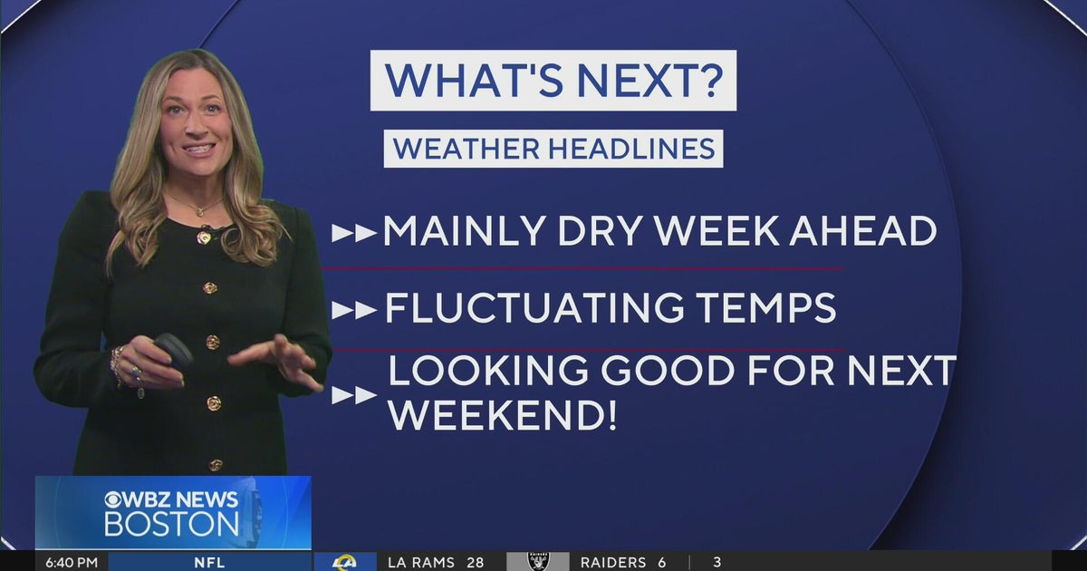 Next Weather: WBZ Evening Update for Oct. 25
CBS News Colorado Weekend 5pm CBS News Detroit Weekend 6:30pm CBS News Miami 6:30pm CBS Philadelphia at 6:30pm KDKA News Weekends 6:30pm CBS News Texas 5:30pm
-
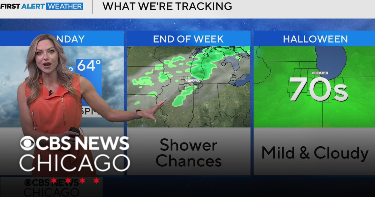 Areas of fog in Chicago Sunday night
CBS News Colorado Weekend 5pm CBS News Detroit Weekend 6:30pm CBS News Miami 6:30pm CBS Philadelphia at 6:30pm KDKA News Weekends 6:30pm CBS News Texas 5:30pm
Air quality
Acceptable. Unusually sensitive people should consider limiting prolonged outdoor exertion.
Forecast
- TueModerate (70)
- WedModerate (70)
- ThuModerate
Philadelphia, PA reporting area · 1 hr ago. Data from AirNow (EPA and its state, local and tribal partners); preliminary and subject to change.
Sun & moon
Almanac
MonthlyPhiladelphia Area, records since 1873. Normals 1991–2020. Data from NOAA's Regional Climate Centers (ACIS).
Nearby
- Philadelphia 24 km
- Camden 29 km
- Wilmington 42 km
- Cherry Hill 34 km
- Bensalem 36 km
- Abington 22 km
- Havertown 14 km
- Mount Laurel 45 km
- Sewell 41 km
- Pennsauken 31 km
- Norristown 4 km
- Chester 28 km
Forecasters' discussion
From the National Weather Service office in PHI, issued 7 hrs ago
What Has Changed
Updated all sections. No significant changes.
Key Messages
1. No significant weather concerns this week.
Discussion
KEY MESSAGE 1...No significant weather concerns this week.
A weak cold front continues to cross the area this morning. After that, Canadian high pressure builds into the Northeast later today. That high will eventually move offshore as the week progresses.
High temperatures on today will be a few degrees cooler compared to Monday. As the week progresses, high temperatures will warm into the upper 60s and low 70s, and then into the mid 70s or so by Friday. Temperatures will still be slightly above normal for next weekend, but a bit cooler compared to Friday. The next chance for precipitation does not come until at least next Sunday or perhaps later. A dry stretch of weather is ahead.
Aviation
The following discussion is for KPHL, KPNE, KTTN, KABE, KRDG, KILG, KMIV, KACY and surrounding areas.
Today...VFR. Winds becoming NE around 10 kt. High confidence.
Tonight... VFR. Mostly clear skies. High confidence.
Outlook...
Wednesday through Saturday...VFR. No significant weather.
Forecasts, observations and alerts in the United States come from the National Weather Service (NOAA); radar from NOAA's Multi-Radar Multi-Sensor system; satellite imagery from NASA's Global Imagery Browse Services (GIBS) and NOAA's GOES satellites; the map from the U.S. Geological Survey's National Map; air quality from AirNow (EPA and its partners); hurricane information from the National Hurricane Center; climate normals and records from NOAA's Regional Climate Centers (ACIS). Forecasts outside the United States and the UV index: MET Norway (CC BY 4.0); observations outside the U.S.: airport reports via NOAA's Aviation Weather Center. Place names: GeoNames (CC BY 4.0). Data are copied on a schedule and may lag the sources; for warnings that affect your safety, follow your local National Weather Service office and emergency officials. Weather news is drawn from the 4Search index and reflects what the press published. Terms of use. How to use Weather