Install
East Stroudsburg, PA 18301 Weather
Current conditions
Forecast for this hour (no station report in the last two hours)
Forecast
10-day-
Saturday Night
Widespread frost after 10pm. Mostly clear, with a low around 29.
-
Sunday
Widespread frost before 10am. Sunny, with a high near 64.
-
Sunday Night
Mostly clear, with a low around 33.
National Weather Service forecast updated 2 days ago.
Hourly
Hourly forecast- Now44°
- 9 PM41°
- 10 PM39°
- 11 PM37°
- Sun12 AM35°
- 1 AM34°
- 2 AM33°
- 3 AM32°
- 4 AM31°
- 5 AM31°
- 6 AM29°
- 7 AM29°
- 8 AM31°
- 9 AM37°
- 10 AM45°
- 11 AM53°
- 12 PM58°
- 1 PM61°
- 2 PM63°
- 3 PM64°
- 4 PM64°
- 5 PM62°
- 6 PM57°
- 7 PM51°
10-day forecast
Details- ThuOct 22Sunny34°64°
- FriOct 23Sunny28°59°
- TodayOct 24Widespread Frost then Mostly Sunny29°61°
- SunOct 25Widespread Frost then Sunny33°64°
- MonOct 26Sunny41°69°
- TueOct 27Mostly Sunny38°64°
- WedOct 28Partly Sunny40°60°
- ThuOct 29Cloudy40°63°
- FriOct 30Partly cloudy35°55°
- SatOct 31Sunny32°55°
Days after the National Weather Service's seven are MET Norway's outlook, a computer model with no forecaster's review.
Radar
Full mapWeather news in Pennsylvania
More weather news-
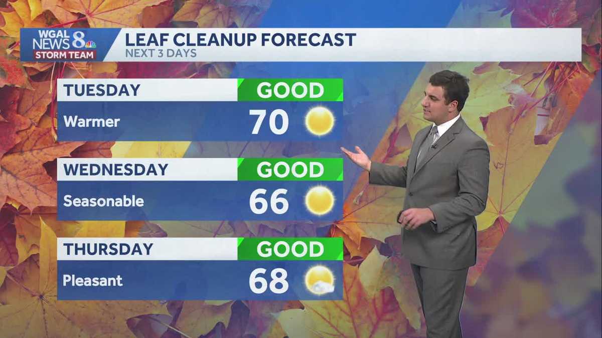 Seasonable sunshine and temperatures continue throughout the week in south central Pennsylvania
At or above average temperatures and 10 days of dry weather ahead. Tuesday looks to be the warmest day of the workweek. Expect bright blue skies and highs climbing to around 70 degrees. From Wednesday through Friday…
-
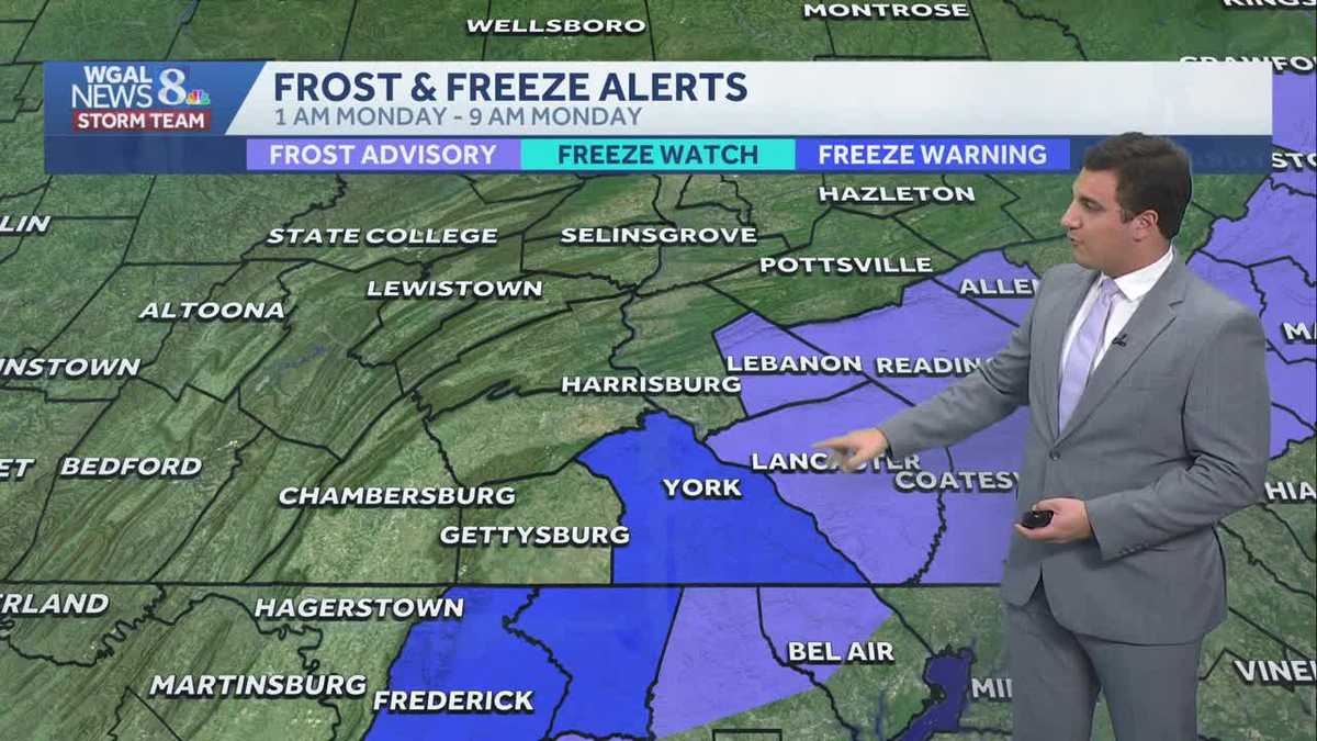 Impact: Frost & freeze alerts issued for some on Sunday night; sunny stretch next week in south central Pennsylvania
Another chilly and frosty night across south central Pennsylvania with lows dropping into the 30s. The National Weather Service has issued freeze warnings and frost advisories for parts of the Susquehanna Valley where…
-
 First Alert Weather: Sun and clouds Saturday in New York - 10/24/26
CBS News - The 5:33 | Legacy of the LIRR Massacre - On The Dot with David Schechter: Wildfires & Climate Change First Alert Weather: Sun and clouds Saturday in New York - 10/24/26 First Alert Weather: Near normal temps…
-
 Storm Boelo: Travel disrupted and events cancelled as UK hit by wind and rain
Fresh deluge of wet weather comes after Storm Austen brought strong winds to many regions on Friday Amber weather warnings have come into force as the worst of Storm Boelo could be set to hit parts of the UK. Storm…
-
 New maps reveal who could see more snow during this year’s super El Niño
This year’s potentially record-setting El Niño is expected to shape winter weather and snowfall across the US. A new CNN Weather analysis shows how snowfall has changed during El Niño winters, offering clues as to what…
-
 Storm Boelo brings disruption with the full force still to come
Lough Melvin in County Fermanagh being battered by Storm Boelo on Saturday Storm Boelo has brought gusts of more that 70mph (113kph) to the east coast of Northern Ireland on Saturday, with conditions due to worsen later…
-
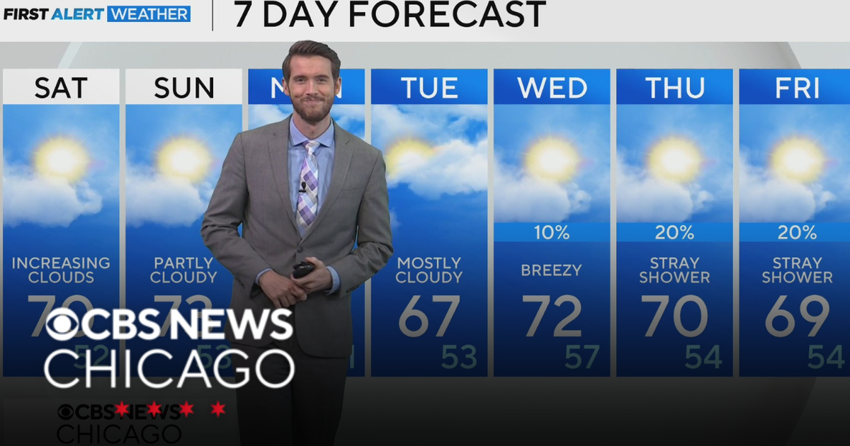 Mild, rain-free day Saturday for Chicago
CBS News Los Angeles Weekend 8am CBS News Miami This Morning 10am CBS News New York Saturday 11am Hometown High Q Classics CBS News Texas 9am
-
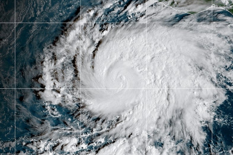 Hurricane Vance intensifies rapidly off Mexico's Pacific Coast
This GOES-19 GeoColor satellite image provided by the National Oceanic and Atmospheric Administration (NOAA) and taken on Friday, Oct. 23, 2026, shows Hurricane Vance in the Pacific. Hurricane Vance rapidly strengthened…
-
 Thousands without power as rain and wind continues
The Met Office issued a yellow weather warning for heavy rain on Saturday Thousands of homes are without power, and disruption is continuing across Devon and Cornwall after more stormy weather. On Friday, Storm Austen…
-
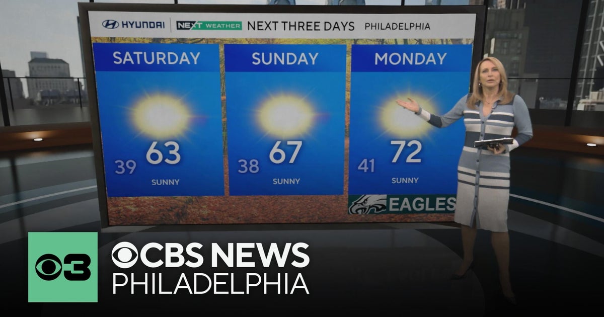 Frosty mornings and sunny days ahead in the Philadelphia area | NEXT Weather
CBS News Bay Area Morning Edition Weekend 7am CBS News Chicago Saturday at 9am CBS Colorado Mornings Weekend CBS News Los Angeles Weekend 7am CBS News Miami This Morning 10am CBS News New York Saturday 10am KDKA News…
Air quality
Air quality is satisfactory, and air pollution poses little or no risk.
Forecast
- SatModerate (55)
- SunModerate (60)
- MonModerate (65)
Delaware Water Gap, NJ reporting area · 1 hr ago. Data from AirNow (EPA and its state, local and tribal partners); preliminary and subject to change.
Sun & moon
Almanac
MonthlyMount Pocono Area, records since 1901. Normals 1991–2020. Data from NOAA's Regional Climate Centers (ACIS).
Nearby
- Allentown 55 km
- Scranton 58 km
- Bethlehem 49 km
- Easton 39 km
- Randolph 54 km
- Whitehall Township 49 km
- Sparta 45 km
- Dover 54 km
- Hopatcong Hills 43 km
- Fullerton 52 km
- Phillipsburg 38 km
- Hopatcong 45 km
Forecasters' discussion
From the National Weather Service office in PHI, issued 3 hrs ago
What Has Changed
Upgraded to Freeze Warnings for portions of central and southern New Jersey. Frost Advisory expanded to include Talbot and inland Sussex (DE) Counties.
Cancelled remaining Coastal Flood Advisories with no more widespread tidal flooding expected.
Key Messages
1. A couple more rounds of frost and freeze impacts are expected both tonight and Sunday night where the growing season continues.
2. Water levels are decreasing and remaining Coastal Flood Advisories have been cancelled. Spotty minor tidal flooding may linger through daytime Sunday.
Discussion
KEY MESSAGE 1...A couple more rounds of frost and freeze impacts are expected both tonight and Sunday night where the growing season continues.
Little change in the overall synoptic pattern is expected through tonight with strong surface high pressure essentially overhead. In fact, 500 mb temperatures are a touch cooler tonight but surface dewpoints are expected to be a couple of degrees higher tonight. Overall, this should result in low temperatures pretty similar to those observed earlier this morning with lows mainly in the low to mid 30s across the region, outside of the barrier islands and coastal Delaware.
Frost Advisories were upgraded to Freeze Warnings for portions of central and southern New Jersey. Dewpoints have trended a bit lower ahead of the sea breeze in this corridor where temperatures are more prone to falling below a consensus of guidance. Skies will be more pristinely clear tonight with calm winds, unlike the scattered to broken cirrus we had in place last night, so opted to nudge temperatures down another degree or two into the low 30s. This justifies the warning upgrade for the aforementioned areas. Elsewhere, Frost Advisories remain in place for tonight where the growing season remains active (along and SE of I-95). The exception is for the barrier islands of NJ and coastal DE, which should experience lows in the 40s again. Would not be surprised to see some areas dip into the upper 20s, more notably across the Pine Barrens of South Jersey and sheltered valleys of NW NJ and the southern Poconos.
Temperatures will then begin to moderate on Sunday before another round of frost is possible for Sunday night into Monday morning. Lows around the region will mainly be in the mid 30s to low 40s. Depending on how tonight's frost advisories pan out will determine where frost advisories may be warranted on Sunday night...more details to come in future updates.
KEY MESSAGE 2...Water levels are decreasing and remaining Coastal Flood Advisories have been cancelled. Spotty minor tidal flooding may linger through daytime Sunday.
Water levels are continuing to decrease in the back bay areas of Ocean County, NJ and Sussex County, Delaware and no further widespread tidal flooding is expected. As a result, the Coastal Flood Advisory for these counties has been cancelled. Spotty minor tidal flooding may linger in the back bays though over the next two high tide cycles, through daytime Sunday.
Aviation
The following discussion is for KPHL, KPNE, KTTN, KABE, KRDG, KILG, KMIV, KACY and surrounding areas.
Rest of Today...VFR/SKC. Light and variable winds, may settle out of the south in the afternoon but remain generally less than 5 kt. High confidence.
Tonight...VFR/SKC. Winds light and variable becoming calm at times. High confidence.
Sunday...VFR/SKC. Winds light and variable in the morning, settling out of the southwest around 3-5 kt in the afternoon. High confidence.
Outlook...
Sunday night through Thursday...VFR. No significant weather expected.
Forecasts, observations and alerts in the United States come from the National Weather Service (NOAA); radar from NOAA's Multi-Radar Multi-Sensor system; satellite imagery from NASA's Global Imagery Browse Services (GIBS) and NOAA's GOES satellites; the map from the U.S. Geological Survey's National Map; air quality from AirNow (EPA and its partners); hurricane information from the National Hurricane Center; climate normals and records from NOAA's Regional Climate Centers (ACIS). Forecasts outside the United States and the UV index: MET Norway (CC BY 4.0); observations outside the U.S.: airport reports via NOAA's Aviation Weather Center. Place names: GeoNames (CC BY 4.0). Data are copied on a schedule and may lag the sources; for warnings that affect your safety, follow your local National Weather Service office and emergency officials. Weather news is drawn from the 4Search index and reflects what the press published. Terms of use.