Install
Shenandoah, PA 17976 Weather
Current conditions
Forecast for this hour (no station report in the last two hours)
Forecast
10-day-
Today
Widespread frost before 9am. Sunny, with a high near 61. North wind 5 to 8 mph.
-
Tonight
Mostly clear, with a low around 37. North wind around 6 mph.
-
Friday
Patchy frost between 7am and 9am. Sunny, with a high near 58. North wind around 3 mph.
National Weather Service forecast updated 3 hrs ago.
Hourly
Hourly forecast- Now35°
- 8 AM34°
- 9 AM41°
- 10 AM46°
- 11 AM51°
- 12 PM55°
- 1 PM57°
- 2 PM59°
- 3 PM60°
- 4 PM61°
- 5 PM59°
- 6 PM57°
- 7 PM54°
- 8 PM50°
- 9 PM49°
- 10 PM48°
- 11 PM47°
- Fri12 AM45°
- 1 AM44°
- 2 AM43°
- 3 AM42°
- 4 AM40°
- 5 AM39°
- 6 AM38°
Daily forecast
Details- TodayOct 22Widespread Frost then Sunny37°61°
- FriOct 23Patchy Frost then Sunny31°58°
- SatOct 24Widespread Frost then Sunny33°58°
- SunOct 25Widespread Frost then Sunny37°61°
- MonOct 26Sunny42°64°
- TueOct 27Mostly Sunny41°62°
- WedOct 28Partly Sunny41°59°
- ThuOct 29Cloudy40°55°
- FriOct 30Mostly sunny39°59°
Days after the National Weather Service's seven are MET Norway's outlook, a computer model with no forecaster's review.
Radar
Full mapWeather news near Shenandoah
More weather news-
 Cold Start! Perfect Fall Day
WVIR Sunrise 4:30 live recording That front that brought us showers and storms Friday has shifted off shore, but a Nor’easter has developed on that front! The Nor’easter is not expected to impact our viewing area, but…
-
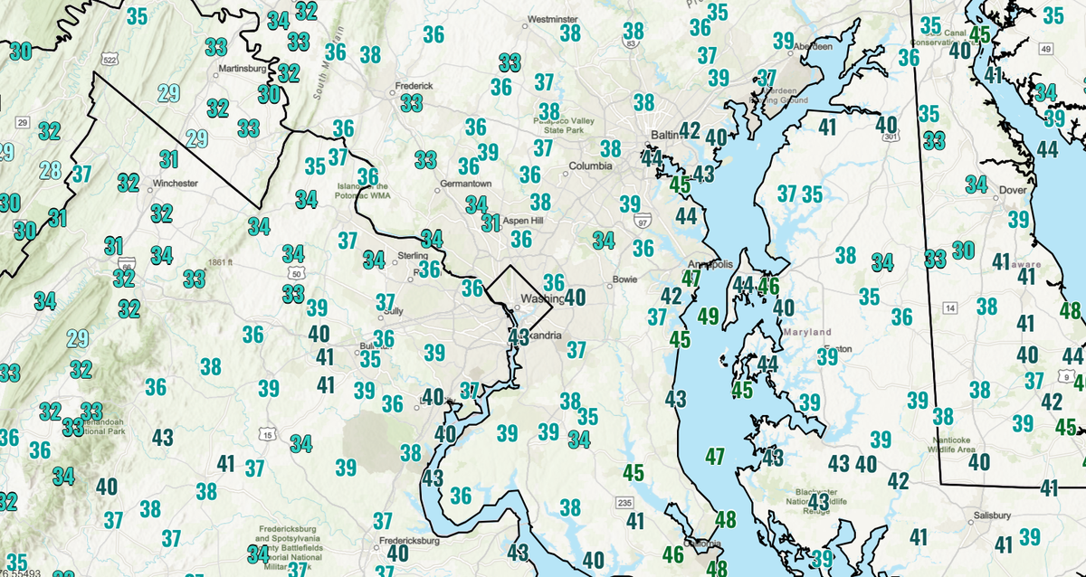 DC area wakes up to chilliest morning of fall, with widespread 30s in suburbs
Temperatures dipped into the low to mid-40s near the city and even lower in the suburbs, with another chilly morning ahead Monday. Washingtonians awoke to the chilliest air of the season so far Sunday, with widespread…
-
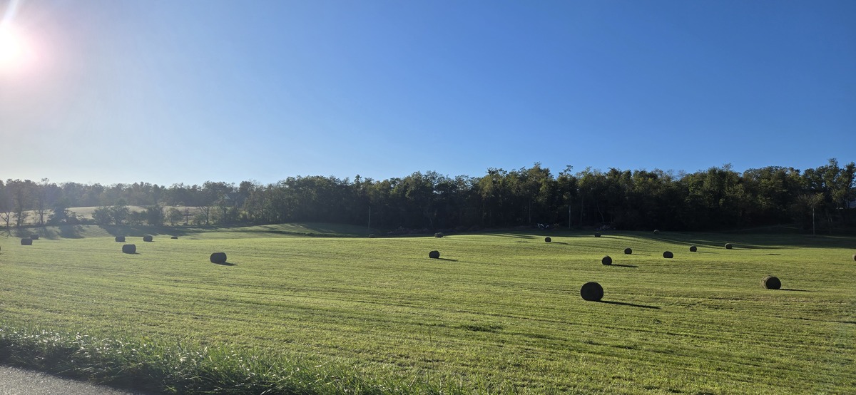 Shenandoah Valley Weather: Sunny days and clear nights this week
Freeze Warning until 9 a.m. this morning Here’s the WSVA local forecast for Harrisonburg and the Shenandoah ValleyToday: Widespread frost, mainly before 9am. Otherwise, sunny, with a high near 56. North wind 5 to 7 mph…
- Crisp Start, Toasty Finish: Richmond Set for Weeklong Warmup
Sunday night stays clear as temperatures fall to around 43 degrees in the city. The breeze should keep frost from forming, even as areas west of Interstate 95 turn colder, according to the National Weather Service…
-
 Shenandoah Valley Weather: Freeze Warning overnight tonight
Here’s the forecast for Harrisonburg and the Shenandoah ValleyToday: A chance of showers, mainly before 10am. Cloudy early, then gradual clearing, with a high near 54. North wind 14 to 17 mph, with gusts as high as 28…
-
 Freeze the day: DC region braces for coldest morning of the season
The D.C. region is in for its coldest morning of the season Sunday, with frost advisories and freeze warnings in effect across parts of Maryland and Virginia as temperatures tumble overnight. The National Weather…
- Lots of sunshine on the way and comfortable temperatures
Today: sunny to partly cloudy; breezy, less humid and cooler. High 55. HARRISONBURG, VA (Rocktown Now) — Your Shenandoah Valley Forecast: With the win Turner Ashby is 6-1 on the season. East Rockingham falls to 6-2. A…
-
 Much Cooler Weekend, Showers & Gusty
WVIR CHARLOTTESVILLE, Va. (WVIR) - A front brought breezy conditions along with showers and storms this Friday evening. That front pushes much cooler air into the region heading into your weekend. We’ll see highs in the…
- Severe Storms Possible, Weekend Freeze Watch
WVIR FRONT BRINGS A COOLER WEEKEND That fronts pushes much cooler air as it passes and temperatures fall fast. We see highs in the 50s for both Saturday and Sunday. Before it shifts further south, expect morning showers…
- Tracking A Strong Cold Front
WVIR CHARLOTTESVILLE, Va. (WVIR) - Good afternoon. We’ll have a mix of clouds, and sun for the rest of the day. Temperatures are expected to warm into the low 80s. A steady southwesterly breeze will develop ahead of an…
Air quality
Air quality is satisfactory, and air pollution poses little or no risk.
Forecast
- ThuGood (30)
- FriGood (30)
- SatGood
Lehigh Valley, PA reporting area · 1 hr ago. Data from AirNow (EPA and its state, local and tribal partners); preliminary and subject to change.
Sun & moon
Almanac
MonthlyMahanoy City 2 N, records since 2000. Normals 1991–2020. Data from NOAA's Regional Climate Centers (ACIS).
Nearby
- Reading 58 km
- Wilkes-Barre 55 km
- Lebanon 56 km
- Hazleton 25 km
- Bloomsburg 30 km
- Pottsville 15 km
- Kingston 56 km
- Mountain Top 48 km
- Wyomissing 58 km
- Nanticoke 46 km
- Berwick 27 km
- Sunbury 50 km
Forecasters' discussion
From the National Weather Service office in CTP, issued 1 day ago
What Has Changed
* Trimmed dewpoints this afternoon and again Sunday.
Key Messages
1) Dry and seasonably mild early Autumn weather continue through this weekend and into the last week of October.
Discussion
KEY MESSAGE 1: Dry and seasonably mild early Autumn weather continue through this weekend and into the last week of October.
Persistent, incredibly low precipitable water values (under 0.4 of an inch) will continue to reside over all of Central PA today and tonight under a ridge of high pressure.
A band of slightly higher PWAT (0.5-0.7 of an inch) and some sct-bkn, shallow stratocu (mainly across the Northern Mtns) will advect south through the CWA in the wake of a weak/dry cold front later Thursday morning and Thu afternoon as some limited moisture is picked up off the Lower Glakes.
The stretch of sensational weather continues into the last week of October. This rain-free pattern (Zero POPs areawide through Monday) is highlighted by generally sunny and warm afternoons with low humidity followed by clear and chilly moonlit nights with areas of frost and river valley fog.
High temps will average anywhere from normal (Susq Valley and Southern PA Valleys to 7 or 8 deg F above normal (Central and NW Mtns) today and Thursday before taking a brief dip to near or slightly below normal in most places on friday. A gradual rebound in temps will occur for Sat through Monday, with Monday's maxes averaging 8-11 deg f above normal (which equates to low-mid 60s across the Northern and Western Mtns and near 70 in the Southern Valleys).
Aviation
VFR conditions are virtually certain (> 90% probabilities) through 12Z Thursday under the influence of high pressure. Low pressure off the Atlantic will supply some high-level clouds mainly to MDT/LNS this afternoon and throughout the rest of the TAF package, but no large-scale aviation concerns at this time with respect to that. Valley fog will be possible across NW PA in the 06Z-12Z Thursday timeframe; however, based on the previous two nights, restrictions at BFD appear unlikely (less than 20% chance) so have left all mentions out of the 12Z TAFs.
Forecasts, observations and alerts in the United States come from the National Weather Service (NOAA); radar from NOAA's Multi-Radar Multi-Sensor system; satellite imagery from NASA's Global Imagery Browse Services (GIBS) and NOAA's GOES satellites; the map from the U.S. Geological Survey's National Map; air quality from AirNow (EPA and its partners); hurricane information from the National Hurricane Center; climate normals and records from NOAA's Regional Climate Centers (ACIS). Forecasts outside the United States and the UV index: MET Norway (CC BY 4.0); observations outside the U.S.: airport reports via NOAA's Aviation Weather Center. Place names: GeoNames (CC BY 4.0). Data are copied on a schedule and may lag the sources; for warnings that affect your safety, follow your local National Weather Service office and emergency officials. Weather news is drawn from the 4Search index and reflects what the press published. Terms of use.