Install
Hershey, PA 17033 Weather
Current conditions
Observed at Harrisburg, Harrisburg International Airport · 31 min ago
Forecast
10-day-
This Afternoon
Sunny, with a high near 70. North wind around 9 mph.
-
Tonight
Clear, with a low around 43. North wind 6 to 9 mph.
-
Wednesday
Sunny, with a high near 66. North wind 5 to 8 mph.
National Weather Service forecast updated 3 hrs ago.
Hourly
Hourly forecast- Now70°
- 5 PM67°
- 6 PM63°
- 7 PM59°
- 8 PM56°
- 9 PM54°
- 10 PM53°
- 11 PM51°
- Wed12 AM49°
- 1 AM47°
- 2 AM46°
- 3 AM45°
- 4 AM45°
- 5 AM44°
- 6 AM43°
- 7 AM43°
- 8 AM43°
- 9 AM46°
- 10 AM52°
- 11 AM54°
- 12 PM56°
- 1 PM59°
- 2 PM61°
- 3 PM64°
10-day forecast
Details- TodayOct 20Sunny43°70°
- WedOct 21Sunny39°66°
- ThuOct 22Sunny39°67°
- FriOct 23Sunny37°60°
- SatOct 24Sunny37°60°
- SunOct 25Sunny42°65°
- MonOct 26Mostly Sunny48°69°
- TueOct 27Sunny39°60°
- WedOct 28Cloudy0.03 in35°51°
- ThuOct 29Partly cloudy0.10 in45°63°
Days after the National Weather Service's seven are MET Norway's outlook, a computer model with no forecaster's review.
Radar
Full mapWeather news near Hershey
More weather news-
 69 News at 6:00 - Severe thunderstorm watches and GIANT disruption
Mostly cloudy with scattered thunderstorms (some with damaging wind gust potential) through early evening, then brisk and drier as it turns much cooler the rest of the night. . headline: Severe Thunderstorm Warning…
- LIVE UPDATES | Severe weather threats for south-central Pennsylvania
Severe weather is moving through South-Central Pennsylvania, and we're providing live updates below as conditions develop. As watches and warnings are issued by the National Weather Service, you'll see those appear in…
-
 Presidential adviser says Ukraine is in talks to lift speed limit on military satellite network
Mostly cloudy with scattered thunderstorms (some with damaging wind gust potential) through early evening, then brisk and drier as it turns much cooler the rest of the night. . Bulletin: SEVERE THUNDERSTORM WATCH 686…
-
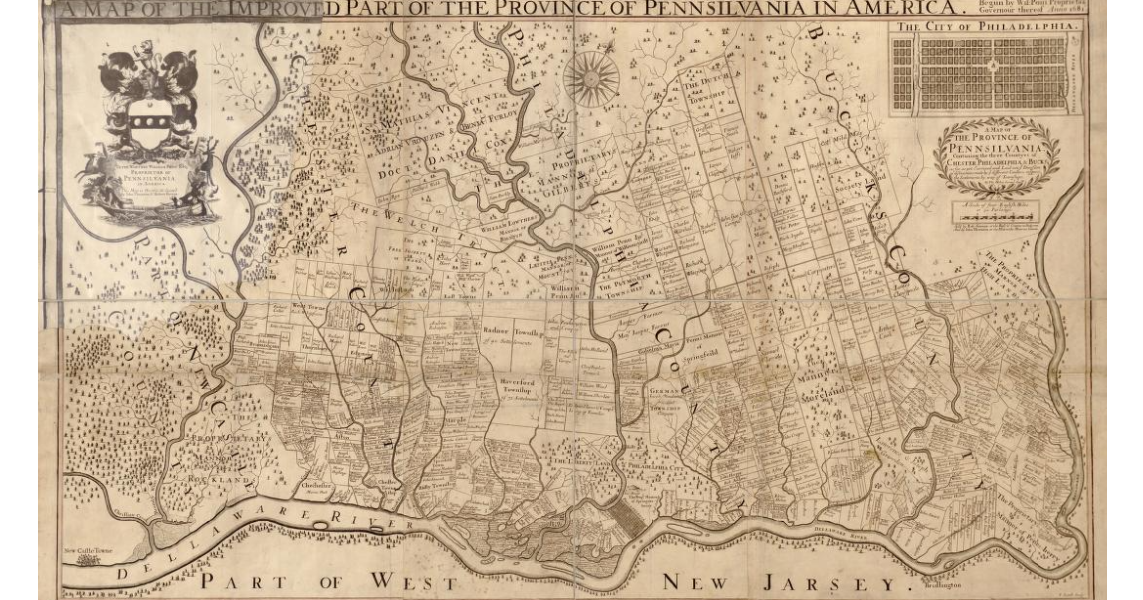 Early map of Pennsylvania from circa 1681
Mostly cloudy with some scattered evening showers; breezy and turning much cooler and less humid overnight. . Bulletin: SEVERE THUNDERSTORM WATCH 686 REMAINS VALID UNTIL 8 PM EDT THIS EVENING FOR THE FOLLOWING AREAS IN…
-
 Community leaders say foiled Illinois mass shooting was result of surge in anti-Hindu hate online
Mostly cloudy with scattered thunderstorms (some with damaging wind gust potential) through early evening, then brisk and drier as it turns much cooler the rest of the night. . Bulletin: SEVERE THUNDERSTORM WATCH 686…
-
 Shapiro asks to intervene in PUC proceeding; consumer advocate office seeking to ensure data centers pay for some electric system costs
Mostly cloudy with scattered thunderstorms (some with damaging wind gust potential) through early evening, then brisk and drier as it turns much cooler the rest of the night. . Bulletin: SEVERE THUNDERSTORM WATCH 686…
-
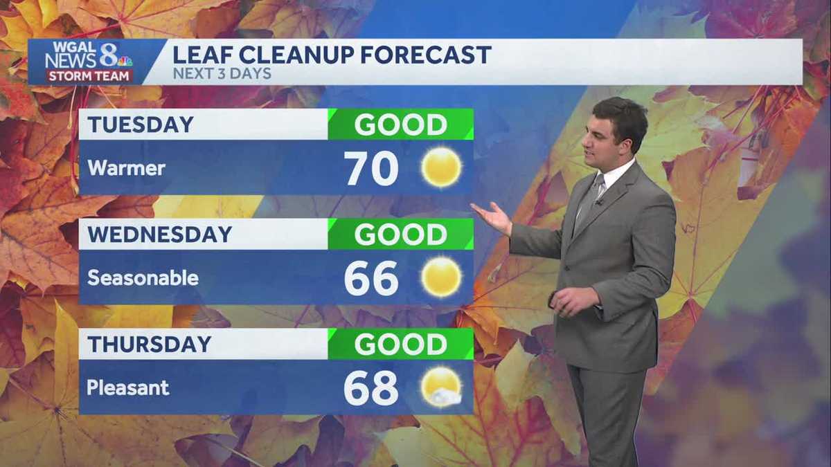 Seasonable sunshine and temperatures continue throughout the week in south central Pennsylvania
At or above average temperatures and 10 days of dry weather ahead. Tuesday looks to be the warmest day of the workweek. Expect bright blue skies and highs climbing to around 70 degrees. From Wednesday through Friday…
-
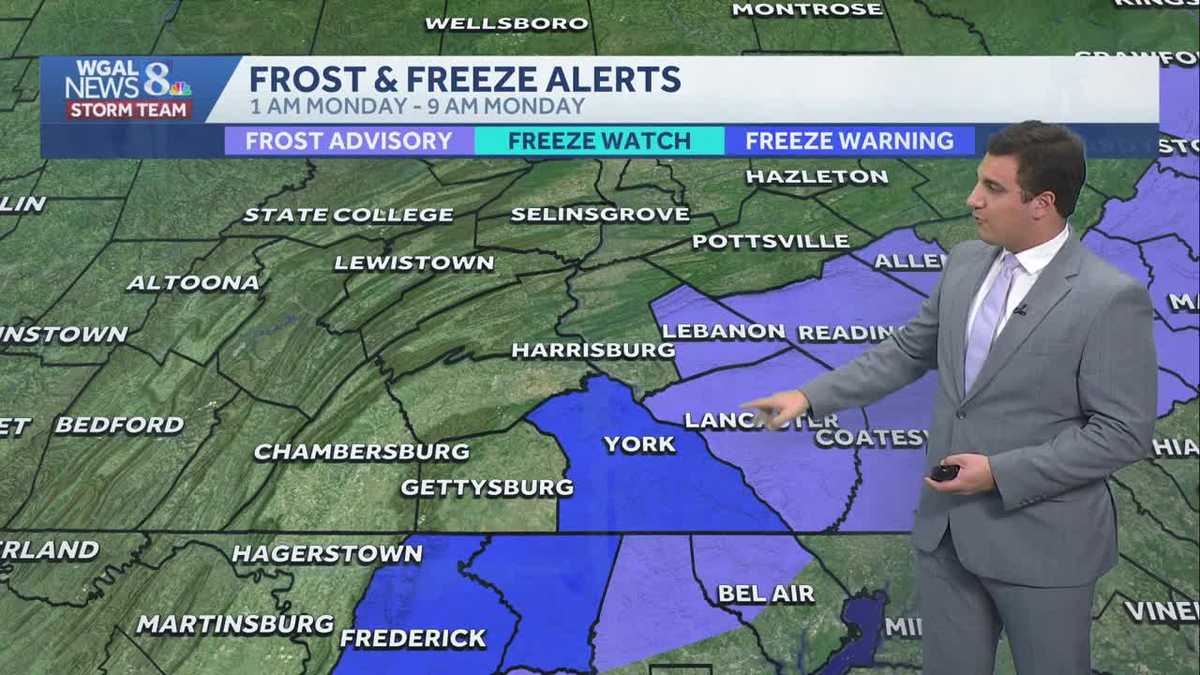 Impact: Frost & freeze alerts issued for some on Sunday night; sunny stretch next week in south central Pennsylvania
Another chilly and frosty night across south central Pennsylvania with lows dropping into the 30s. The National Weather Service has issued freeze warnings and frost advisories for parts of the Susquehanna Valley where…
-
 Freeze Watch Upgraded to Warning for Almost All of Pennsylvania as Conditions Worsen
Freeze Warnings are now in effect for most of Pennsylvania from 1 a.m. to 9 a.m. EDT Sunday, with lows between 25 and 30 degrees expected in central Pennsylvania. The earlier Freeze Watches have been upgraded to…
-
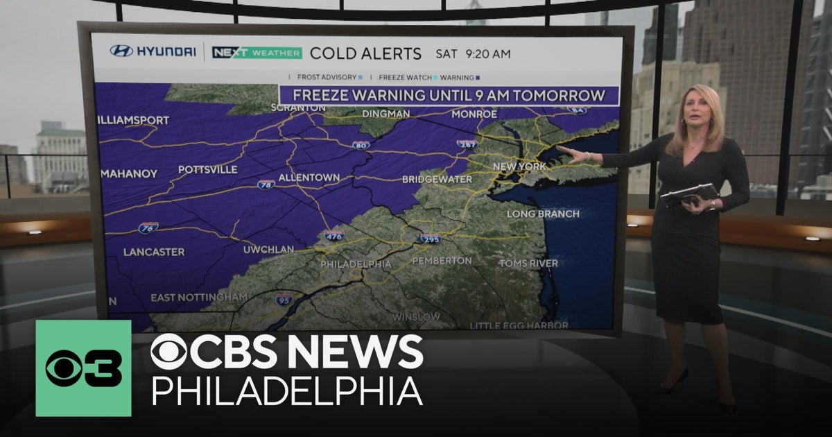 Freeze warning in Pennsylvania after wet Saturday | NEXT Weather
CBS News Freeze warning in Pennsylvania after wet Saturday | NEXT Weather Philadelphia region sees more than 20-degree drop in temperatures Saturday Camden Catholic beats Kipp Cooper Norcross and more in Week 6 of…
Air quality
Air quality is satisfactory, and air pollution poses little or no risk.
Forecast
- TueGood (49)
- WedGood (45)
- ThuGood (45)
Susquehanna Valley, PA reporting area · 1 hr ago. Data from AirNow (EPA and its state, local and tribal partners); preliminary and subject to change.
Sun & moon
Almanac
MonthlyMiddletown-Harrisburg Area, records since 1888. Normals 1991–2020. Data from NOAA's Regional Climate Centers (ACIS).
Nearby
- Lancaster 39 km
- Harrisburg 20 km
- York 34 km
- Lebanon 22 km
- Carlisle 46 km
- Hanover 59 km
- Ephrata 41 km
- Colonial Park 14 km
- Weigelstown 34 km
- Elizabethtown 13 km
- Shiloh 34 km
- Wyomissing 59 km
Forecasters' discussion
From the National Weather Service office in CTP, issued 9 hrs ago
What Has Changed
* No changes
Key Messages
1) An extended stretch of dry and seasonable weather continues through the rest of this week
Discussion
KEY MESSAGE 1: An extended stretch of dry and seasonable weather continues through the rest of this week
330 AM Update... Surface Temp/Dewpoint spreads of a few to several degrees were helping to greatly minimize the development of valley fog so far early today.
Aside from an ill-defined, weak cold front moving SE from the Lower Glakes region with nothing more than some shallow sct-bkn strato cu (topped by some areas of thin cirrus) across the NW Mtns during the second half of this morning, skies will stay clear under persistent high pressure over the Northeast U.S.
This dominant weather feature will continue our stretch of dry weather with seasonable temperatures for the rest of this week.
Temperatures to start the day today will range from near 30 degrees throughout the perennial cold spots in Central and Northern PA to the mid 30s and lower 40s in the south.
Patchy frost will be possible in the coldest spots across the Lower Susquehanna Valley where Lancaster and Lebanon Counties are still hanging onto the growing season based on the absence of widespread sub-freezing temps so far.
Aviation
High pressure and very dry air are allowing for continued dry conditions and clear skies across the majority of the forecast area this morning. VFR conditions are virtually certain through 06Z Wednesday at all of central Pennsylvania's airfields. Winds are beginning to pick up in response to the coastal storm off the Atlantic Coast as it slowly slides northward. The general trend will be increasing northerly wind gusts throughout the day, with maximum winds/gusts peaking across western terminals in the 5-10KT range, while some of the eastern terminals (highest confidence at MDT/LNS) will top out closer to 15KT this afternoon/evening. HREF ensemble guidance (which has shown fair skill in honing in *where* fog will form the past couple of days) has started to outline the northern tier for some chances of fog formation between 06-12Z Wednesday, which will bring some chances for lower flight categories (IFR and below) to the northern airfields (BFD/IPT/UNV) in that timeframe. Confidence remains too low (~20-30%) for inclusion in the 12Z TAF package, but something to keep an eye on in future TAF sets given it appears that conditions will be fairly drastic with respect to prevailing VFR OR IFR/VLIFR.
Wed-Sat...Patchy AM fog and frost possible in the north and west; otherwise, VFR conditions will prevail.
Forecasts, observations and alerts in the United States come from the National Weather Service (NOAA); radar from NOAA's Multi-Radar Multi-Sensor system; satellite imagery from NASA's Global Imagery Browse Services (GIBS) and NOAA's GOES satellites; the map from the U.S. Geological Survey's National Map; air quality from AirNow (EPA and its partners); hurricane information from the National Hurricane Center; climate normals and records from NOAA's Regional Climate Centers (ACIS). Forecasts outside the United States and the UV index: MET Norway (CC BY 4.0); observations outside the U.S.: airport reports via NOAA's Aviation Weather Center. Place names: GeoNames (CC BY 4.0). Data are copied on a schedule and may lag the sources; for warnings that affect your safety, follow your local National Weather Service office and emergency officials. Weather news is drawn from the 4Search index and reflects what the press published. Terms of use.