Install
Erie, PA 16503 Weather
Current conditions
Observed at Erie, Erie International Airport · 27 min ago
Forecast
10-day-
Overnight
Clear, with a low around 39. East wind around 3 mph.
-
Wednesday
Sunny, with a high near 58. Northeast wind 0 to 5 mph.
-
Wednesday Night
Mostly clear, with a low around 43. East wind around 3 mph.
National Weather Service forecast updated 1 hr ago.
Hourly
Hourly forecast- Now40°
- 6 AM40°
- 7 AM40°
- 8 AM40°
- 9 AM41°
- 10 AM46°
- 11 AM51°
- 12 PM54°
- 1 PM56°
- 2 PM57°
- 3 PM58°
- 4 PM57°
- 5 PM57°
- 6 PM54°
- 7 PM51°
- 8 PM46°
- 9 PM46°
- 10 PM44°
- 11 PM44°
- Thu12 AM44°
- 1 AM44°
- 2 AM45°
- 3 AM45°
- 4 AM44°
10-day forecast
Details- TonightOct 20Clear39°
- TodayOct 21Sunny43°58°
- ThuOct 22Sunny40°60°
- FriOct 23Sunny38°58°
- SatOct 24Sunny44°61°
- SunOct 25Sunny48°66°
- MonOct 26Mostly Sunny48°64°
- TueOct 27Slight Chance Rain Showers17%58°
- WedOct 28Rain0.18 in43°47°
- ThuOct 29Partly cloudy41°51°
Days after the National Weather Service's seven are MET Norway's outlook, a computer model with no forecaster's review.
Radar
Full mapWeather news near Erie
More weather news-
 Old Farmer’s Almanac Forecasts Rain, Snow Showers for Northeast on Thanksgiving
With autumnal foliage colors and cooler temperatures settling in across the Philadelphia region, it’s time to start our attentions to the upcoming holiday and winter season. Take a look at… The Almanac's Thanksgiving…
-
 Freeze Watch Upgraded to Warning for Almost All of Pennsylvania as Conditions Worsen
Freeze Warnings are now in effect for most of Pennsylvania from 1 a.m. to 9 a.m. EDT Sunday, with lows between 25 and 30 degrees expected in central Pennsylvania. The earlier Freeze Watches have been upgraded to…
-
 Autumn's Forecast: Cool Saturday and more seasonable Sunday
BUFFALO, N.Y. (WKBW) — Saturday will definitely feel like fall across Western New York, with highs only reaching the upper 40s. The coldest temperatures arrive Saturday night into early Sunday morning. A Freeze WARNING…
-
 Dangerous Freeze Watches Issued for Ohio, Pennsylvania and New York as Temperatures Plummet
Freeze Watches are in effect from late Saturday night through Sunday morning across Ohio, Pennsylvania, western New York, West Virginia, Maryland and Virginia, with lows as cold as 25 degrees possible. A strong cold…
-
 Friday Evening Storm Tracker Forecast
WFMJ Freeze Watch from SUN 1:00 AM EDT until SUN 9:00 AM EDT Drying out early Saturday; lots of sunshine is on the way. More theft allegations emerge against Boardman store employee accused of stealing from safe No one…
-
 Storm Tracker Forecast: Friday Midday
WFMJ Freeze Watch from SUN 1:00 AM EDT until SUN 9:00 AM EDT More theft allegations emerge against Boardman store employee accused of stealing from safe No one arrested after attendees appear to punch protester at…
-
 Chilly, Blustery, Damp For Friday Football | Weather For Weather Geeks 10/15/26
WFMJ Trump rally high in energy despite sluggish attendance numbers No one arrested after attendees appear to punch protester at Youngstown Trump rally 9 dead, including children, in mass shooting in Erie, Pennsylvania…
-
 Thursday Evening Storm Tracker Forecast
WFMJ A "backwards" day on Friday and a chilly start to the weekend is on the way. Trump rally high in energy despite sluggish attendance numbers 9 dead, including children, in mass shooting in Erie, Pennsylvania…
-
 Trudy strengthens to a hurricane as system nears Mexico’s coast with major storm expected
Trudy has intensified into a Category 1 hurricane as it approaches the Pacific coast of Mexico. The U.S. National Hurricane Center reports Trudy is about 300 miles southwest of Acapulco, with maximum sustained winds of…
-
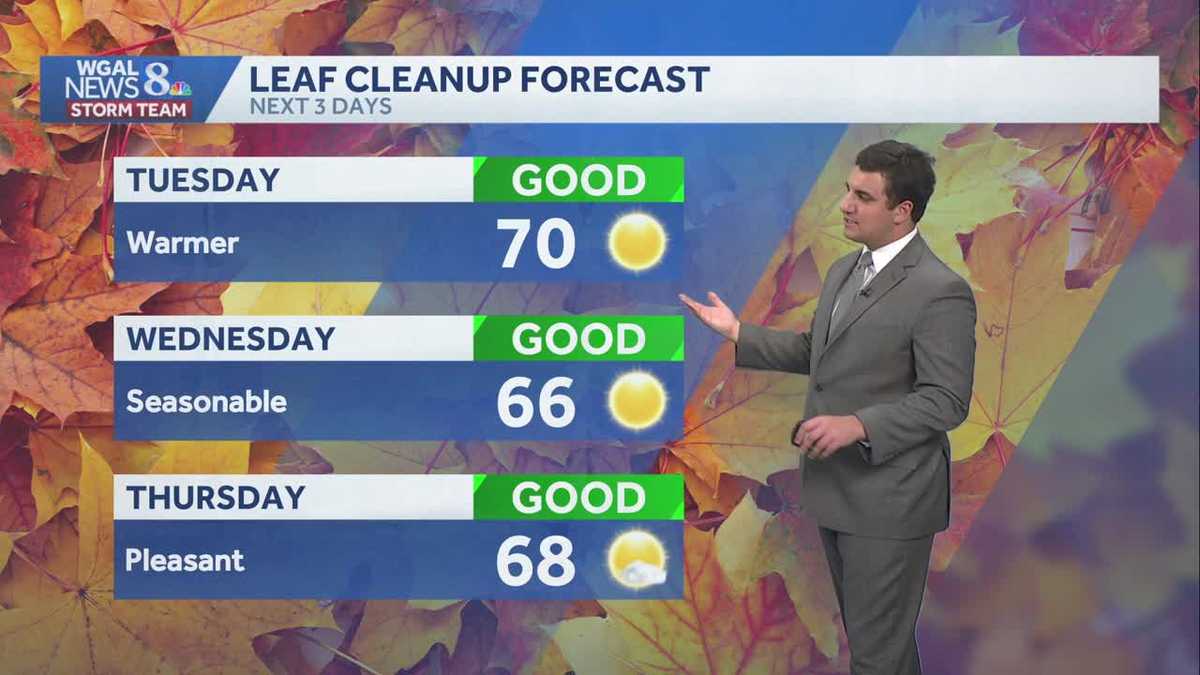 Seasonable sunshine and temperatures continue throughout the week in south central Pennsylvania
At or above average temperatures and 10 days of dry weather ahead. Tuesday looks to be the warmest day of the workweek. Expect bright blue skies and highs climbing to around 70 degrees. From Wednesday through Friday…
Air quality
Air quality is satisfactory, and air pollution poses little or no risk.
Forecast
- WedGood (30)
- ThuModerate (60)
- FriGood
Erie, PA reporting area · 1 hr ago. Data from AirNow (EPA and its state, local and tribal partners); preliminary and subject to change.
Sun & moon
Almanac
MonthlyErie Area, records since 1873. Normals 1991–2020. Data from NOAA's Regional Climate Centers (ACIS).
Nearby
- Meadville 54 km
- Conneaut 45 km
- Northwest Harborcreek 6 km
- Corry 42 km
- Edinboro 29 km
- Portland 57 km
- North East 21 km
- Lawrence Park 4 km
- Wesleyville 4 km
- Union City 31 km
- Westfield 46 km
- Girard 25 km
Forecasters' discussion
From the National Weather Service office in CLE, issued 2 hrs ago
What Has Changed
A Dense Fog Advisory is in effect for portions of Northwest Ohio until 10 AM this morning.
Key Messages
1) Dry and seasonable weather is expected through at least early next week.
Discussion
KEY MESSAGE 1... Dense fog, with coverage ranging from areas to widespread, is developing across Northwest OH early this morning. Patchier dense fog is also developing across some river valleys farther east-southeast across North Central Ohio. Will continue to monitor the coverage of the fog and issue any additional advisories or statements as needed early this morning.
Outside of nightly fog and frost potential, the forecast remains extremely tranquil and seasonable through early next week. Low temperatures may be slightly chillier tonight/Thursday morning, leading to greater frost potential. Thursday night trends a few degrees milder with lesser frost potential. Friday night/early Saturday will trend several degrees cooler, and look to feature more widespread frost potential, including in portions of the area where the growing season hasn't been ended yet.
A front is expected to cross Tuesday or Tuesday night, with potential for just a bit of rain along or behind the front late Tuesday into Wednesday. Otherwise, the forecast is dry for the duration. One item to monitor is the potential for a few lake- enhanced sprinkles late Thursday into early Friday as a trough axis pushes across Lake Erie, though the odds of any measurable rain with that feature appear too low for a forecast mention.
Marine
Generally north to northeast winds continue over the next few days, leading to choppy conditions at times on the lake. Winds will remain under 15 knots through Thursday afternoon, but will increase to 10-15 knots at times this afternoon/evening and again early Thursday, which will be enough to build 2 or so foot waves at times. A stronger push of winds in the 15-20kt range remains in the forecast Thursday night into Friday, building a period of 2-4 foot waves east of the Islands. A shorter window of 3-5 footers and Small Craft Advisory conditions in the central basin remains possible.
Forecasts, observations and alerts in the United States come from the National Weather Service (NOAA); radar from NOAA's Multi-Radar Multi-Sensor system; satellite imagery from NASA's Global Imagery Browse Services (GIBS) and NOAA's GOES satellites; the map from the U.S. Geological Survey's National Map; air quality from AirNow (EPA and its partners); hurricane information from the National Hurricane Center; climate normals and records from NOAA's Regional Climate Centers (ACIS). Forecasts outside the United States and the UV index: MET Norway (CC BY 4.0); observations outside the U.S.: airport reports via NOAA's Aviation Weather Center. Place names: GeoNames (CC BY 4.0). Data are copied on a schedule and may lag the sources; for warnings that affect your safety, follow your local National Weather Service office and emergency officials. Weather news is drawn from the 4Search index and reflects what the press published. Terms of use.