Install
Wellsville, NY 14895 Weather
Current conditions
Observed at Cattaraugus County-Olean Airport · 1 hr ago
Forecast
10-day-
Tuesday
Partly sunny, with a high near 56. Northeast wind around 3 mph.
-
Tuesday Night
Partly cloudy, with a low around 34.
-
Wednesday
Partly sunny, with a high near 61.
National Weather Service forecast updated 3 days ago.
Hourly
Hourly forecast- Now50°
- 1 PM52°
- 2 PM54°
- 3 PM55°
- 4 PM56°
- 5 PM55°
- 6 PM52°
- 7 PM49°
- 8 PM45°
- 9 PM42°
- 10 PM40°
- 11 PM38°
- Wed12 AM37°
- 1 AM36°
- 2 AM36°
- 3 AM36°
- 4 AM36°
- 5 AM35°
- 6 AM34°
- 7 AM34°
- 8 AM36°
- 9 AM40°
- 10 AM46°
- 11 AM51°
10-day forecast
Details- TonightOct 23Patchy Fog31°
- SatOct 24Patchy Fog then Sunny32°60°
- SunOct 25Patchy Fog then Sunny38°63°
- MonOct 26Patchy Fog then Sunny37°66°
- TodayOct 27Partly Sunny34°56°
- WedOct 28Partly Sunny43°61°
- ThuOct 29Mostly Sunny13%45°65°
- FriOct 30Partly Sunny62°
- SatOct 31Cloudy33°47°
- SunNov 1Mostly sunny33°58°
Days after the National Weather Service's seven are MET Norway's outlook, a computer model with no forecaster's review.
Radar
Full mapWeather news in New York
More weather news-
 First Alert Weather: Freezing temps overnight for some parts of New York - 10/24/26
CBS News - The 5:33 | Legacy of the LIRR Massacre - On The Dot with David Schechter: Wildfires & Climate Change First Alert Weather: Freezing temps overnight for some parts of New York - 10/24/26 Trump, Obama make…
-
 Sunday Evening Forecast
Another beautiful evening in Central New York after highs in the mid 60s. Lows tonight are much more mild, only in the mid 30s. Some patchy frost on hilltops north and south of the Mohawk Valley but most places remain…
-
 First Alert Weather: Sun and clouds Saturday in New York - 10/24/26
CBS News - The 5:33 | Legacy of the LIRR Massacre - On The Dot with David Schechter: Wildfires & Climate Change First Alert Weather: Sun and clouds Saturday in New York - 10/24/26 First Alert Weather: Near normal temps…
-
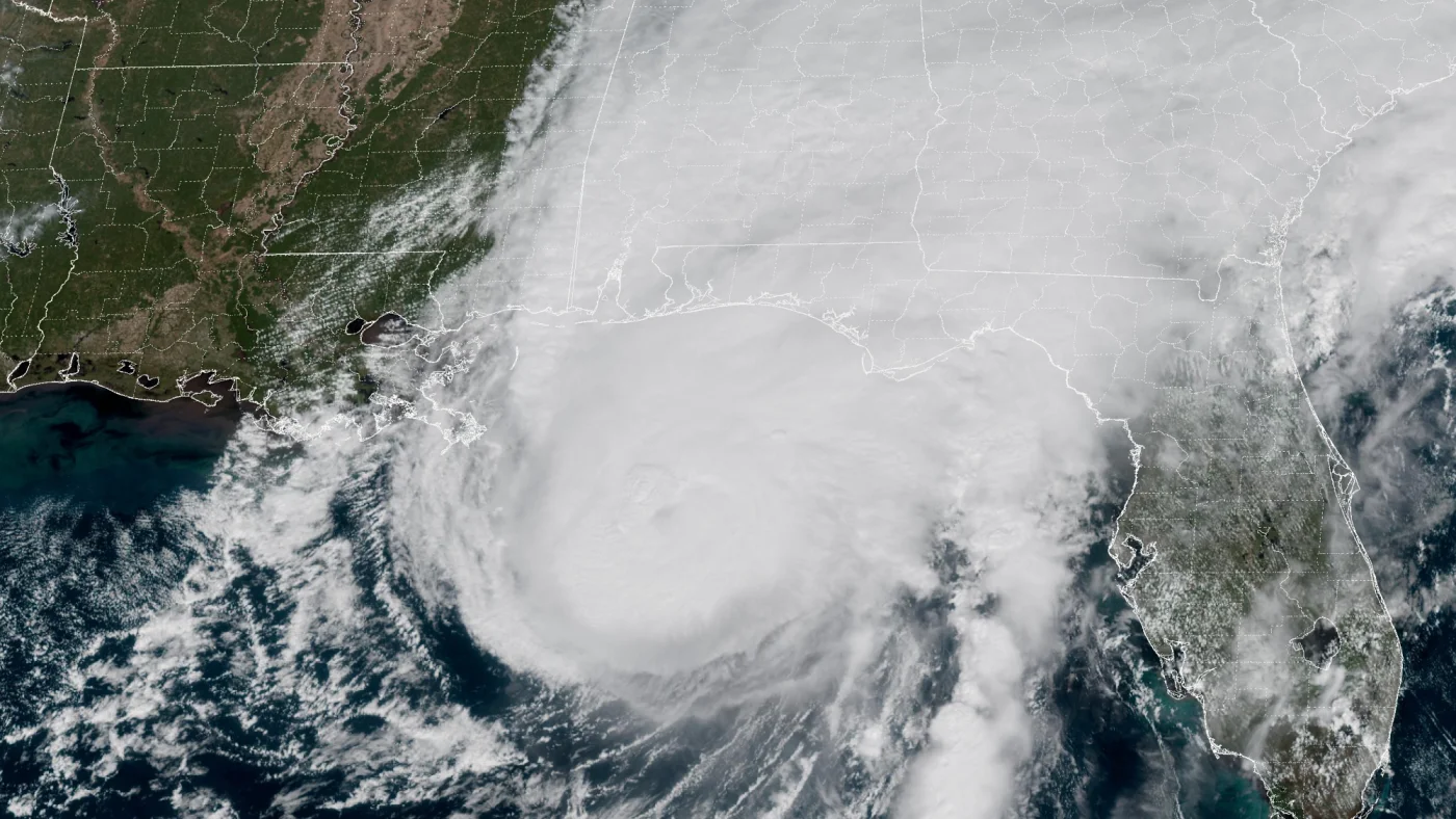 How AI is transforming hurricane forecasts
A satellite image provided by the National Oceanic and Atmospheric Administration (NOAA) shows Hurricane Isaias approaching the Gulf Coast of Alabama and Florida on Friday, Oct. 9 2026. NOAA/NOAA hide caption Hurricane…
-
 Another Dry Day Today
It is a frosty start to the day, although highs will be in the low to mid 60s before dipping in the late afternoon. A weak cold front arrives and brings slight changes to the weather. The cold front is weak, and it gets…
-
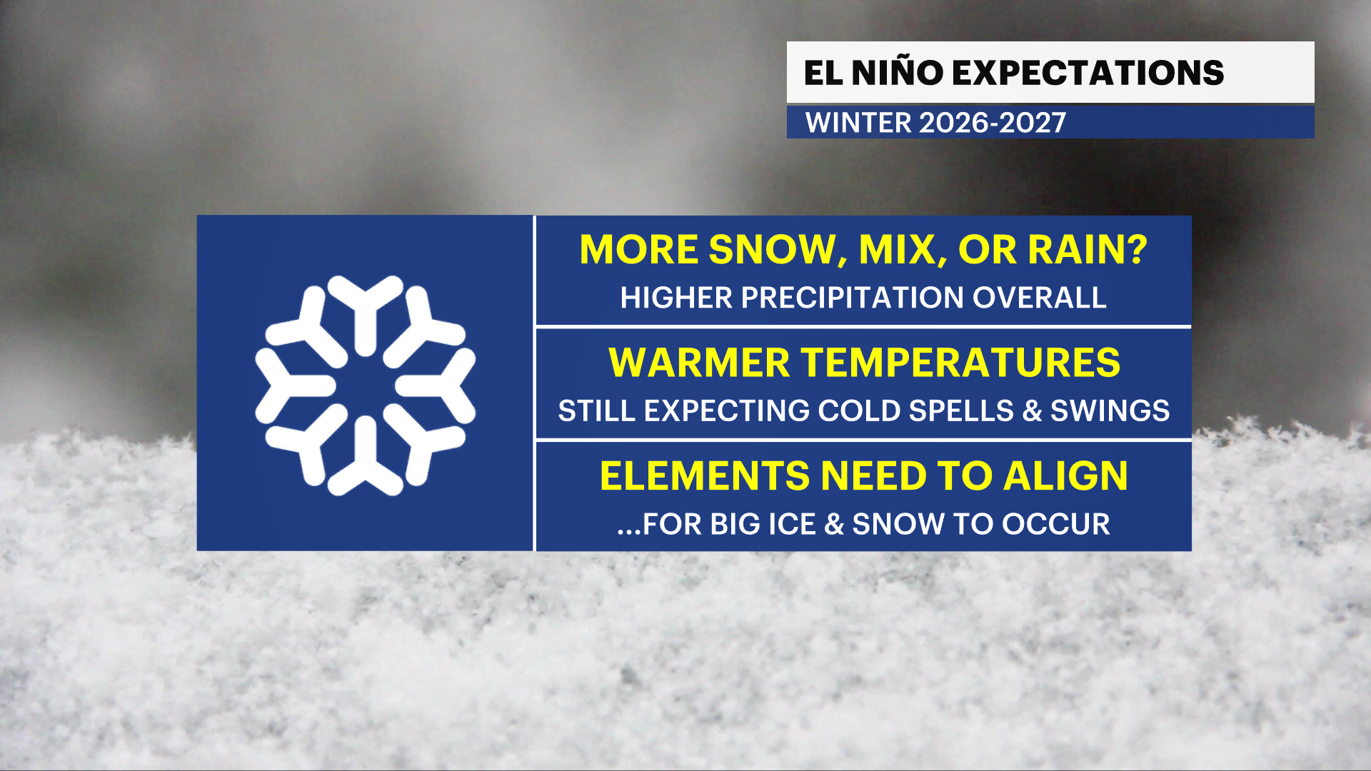 Winter Weather Awareness: Are you ready?
Oct 26, 2026, 11:34 AM Winter will be here before you know it and the time to start preparing is now. This week is winter weather awareness week and we’re starting off with winter weather preparedness. The National…
-
 Saturday Evening Forecast
The dry, sunny stretch of weather continues through the second half of the weekend. Lows tonight will be in the upper 20s and we will see areas of frost yet again. The dry, sunny stretch of weather continues through the…
-
 Halloween 2026 Forecast For Upstate New York
As of right now things looks pretty good for October 31st. A little cool with a high of 50 degrees, but also sunny. That's according to the current 10 day forecast from Accuweather. Hopefully we get a little warmer than…
- Winter was a no-snow for New York City again
For a second straight winter, snow lovers in New York City were left wanting more. The city saw more snowfall than last year, when it saw the least on record, but it was far below average. Let's take a look at the…
-
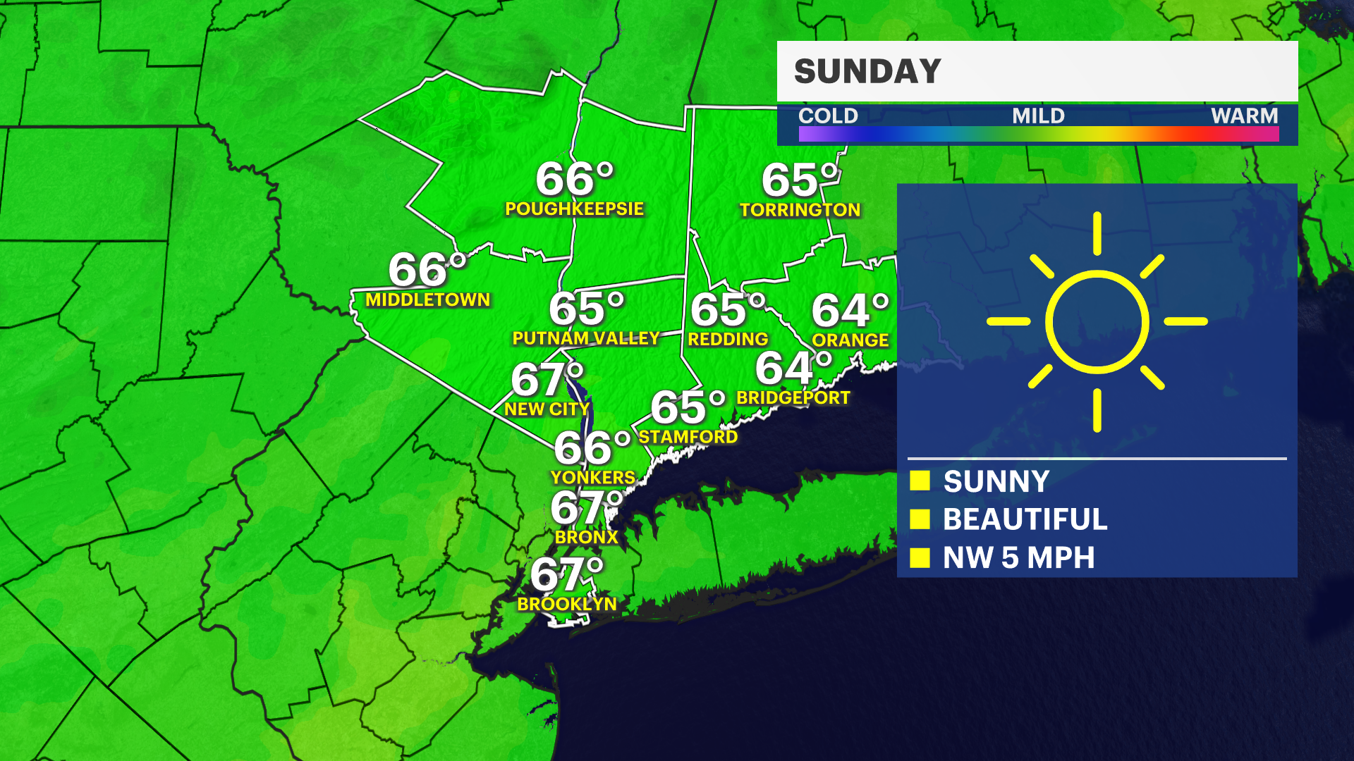 Sunny and seasonable Sunday across Brooklyn
Oct 24, 2026, 9:36 PM The borough will see a clear sky with calm winds, making for a chillier overnight. Sunday will feature abundant sunshine and highs in the mid-60s. The warming trend continues Monday, with…
Sun & moon
Almanac
MonthlyAngelica, records since 1893. Normals 1991–2020. Data from NOAA's Regional Climate Centers (ACIS).
Nearby
- Olean 40 km
- Hornell 33 km
- Bath 57 km
- Dansville 54 km
- Alfred 20 km
- Coudersport 38 km
- Canisteo 33 km
- Port Allegany 44 km
- Saint Bonaventure 44 km
Forecasters' discussion
From the National Weather Service office in BUF, issued 5 hrs ago
What Has Changed
No major changes with this forecast update.
Key Messages
1) Primarily dry weather is expected through this weekend, but periodic rain showers are possible this Thursday evening through Thursday night and again this Sunday. Near-record warmth is forecast this Thursday.
Discussion
KEY MESSAGE 1...Primarily dry weather is expected through this weekend, but periodic rain showers are possible this Thursday evening through Thursday night and again this Sunday. Near-record warmth is forecast this Thursday.
A surface ridge continues to affect our region today through tonight as the embedded high pressure center moves SE'ward from northern ON toward northern New England, while the ridge aloft builds from the Upper Midwest to the eastern Great Lakes. Dry weather is expected as stabilizing subsidence accompanies the ridge. Sufficient cloud breaks and weak or calm surface winds should contribute to localized steam fog in the Black River Valley and the inland lake and river valleys of the Western Southern Tier and Finger Lakes Region during the predawn hours through about 10 AM EDT today. Also, a sufficiently-cold air mass, NE'erly to ENE'erly mean flow in the surface to 925 mb layer, and weak/shallow lake-induced CAPE profiles amidst limited synoptic-scale low-level moisture over ~14C Lake America may allow isolated to scattered and shallow lake- effect stratocumuli to impact portions of Western and Central NY, especially metro Rochester and the northern Finger Lakes Region, through mid-morning. Any lake-effect clouds should dissipate by midday as lake-induced CAPE dissipates via low-level dry air advection and a lowering subsidence inversion.
Lows are still expected to reach mainly the 20's to mid 30's around daybreak this morning and be followed by highs in the mid 40's to lower 60's late this afternoon as low-level CAA persists behind yesterday's cold front passage. Weak or calm surface winds, low humidity, and sufficient cloud breaks, especially farther east, are expected to permit appreciable radiational cooling very late this afternoon through daybreak Wednesday. Lows should reach mainly the lower 20's to lower 30's in North-Central NY and the lower 30's to lower 40's elsewhere in our CWA around daybreak Wednesday.
On Wednesday through Wednesday night, the ridge at the surface and aloft should exit E'ward and allow a warm front starved of low-level moisture to sweep NE'ward through our region and usher-in a somewhat warmer air mass. Fair weather is expected to persist. Late afternoon highs should reach the 50's to lower 60's in North-Central NY and the upper 50's to upper 60's elsewhere in our CWA. Thereafter, overnight lows should reach the mid 30's to mid 40's in North-Central NY and the lower 40's to lower 50's elsewhere in our CWA around daybreak Thursday.
Mainly W'erly to WNW'erly flow aloft and a series of attendant troughs and ridges at the surface and aloft should affect our region this Thursday through upcoming weekend. Current odds favor primarily dry weather as ridging should affect Western and Central NY during the majority of the time period. However, a weak cold front should sweep E'ward through our region Thursday night. Periodic rain showers should impact Western and Central NY Thursday evening and especially Thursday night, along and ahead of the front, due to moist isentropic ascent ahead of a shortwave trough axis aloft and low-level convergence/ascent along the front coinciding with sufficient low-level moisture. Additional periodic rain showers are possible this Sunday due to moist isentropic ascent preceding another shortwave trough axis aloft. Unusually-mild weather for late October is expected on Thursday through this weekend courtesy of largely zonal flow aloft. For example, near-record warm highs in the upper 60's to mid 70's are expected in many lower elevation locations in our Western NY and Finger Lakes counties this Thursday afternoon, including the Buffalo and Rochester metro areas.
Aviation
Dry weather and mainly VFR are expected through 12Z/Wed as a high pressure ridge at the surface and aloft impacts Western and Central NY. Our regional surface winds are expected to veer gradually from NE'erly to SE'erly and be no stronger than 5 to 10 knots through the TAF period. Variable amounts of cloudiness, especially in the mid/upper-levels, are expected as subtle disturbances ripple generally E'ward through the ridge aloft. The greatest cloud cover is expected this evening through 12Z/Wed. Note: considerable cloud breaks and weak or calm surface winds may contribute to localized steam fog in the inland river and lake valleys of the Western Southern Tier, Finger Lakes Region, and North-Central NY early this morning. Fog is not expected to impact KJHW and KART. Any fog will dissipate by 14Z/Tues, following the onset of diurnal convective mixing of the boundary layer.
Outlook...
Wednesday through Saturday...Mainly dry weather and VFR expected, respectively. However, periodic rain showers, perhaps accompanied by occasional MVFR, are expected this Thursday evening and especially Thursday night.
Forecasts, observations and alerts in the United States come from the National Weather Service (NOAA); radar from NOAA's Multi-Radar Multi-Sensor system; satellite imagery from NASA's Global Imagery Browse Services (GIBS) and NOAA's GOES satellites; the map from the U.S. Geological Survey's National Map; air quality from AirNow (EPA and its partners); hurricane information from the National Hurricane Center; climate normals and records from NOAA's Regional Climate Centers (ACIS). Forecasts outside the United States and the UV index: MET Norway (CC BY 4.0); observations outside the U.S.: airport reports via NOAA's Aviation Weather Center. Place names: GeoNames (CC BY 4.0). Data are copied on a schedule and may lag the sources; for warnings that affect your safety, follow your local National Weather Service office and emergency officials. Weather news is drawn from the 4Search index and reflects what the press published. Terms of use. How to use Weather