Install
Jamestown, NY 14701 Weather
Current conditions
Observed at Jamestown, Chautauqua County/Jamestown Airport · 1 hr ago
Forecast
10-day-
Today
Sunny, with a high near 66. Northeast wind 2 to 9 mph.
-
Tonight
Patchy fog between midnight and 2am, then widespread frost and patchy fog. Clear, with a low around 30. Northeast wind 1 to 6 mph.
-
Wednesday
Widespread frost and patchy fog before 10am. Sunny, with a high near 65. Northeast wind 0 to 3 mph.
National Weather Service forecast updated 4 hrs ago.
Hourly
Hourly forecast- Now65°
- 3 PM66°
- 4 PM66°
- 5 PM64°
- 6 PM60°
- 7 PM54°
- 8 PM48°
- 9 PM45°
- 10 PM42°
- 11 PM40°
- Wed12 AM38°
- 1 AM37°
- 2 AM36°
- 3 AM35°
- 4 AM33°
- 5 AM32°
- 6 AM31°
- 7 AM30°
- 8 AM31°
- 9 AM35°
- 10 AM42°
- 11 AM49°
- 12 PM55°
- 1 PM58°
10-day forecast
Details- TodayOct 20Sunny30°66°
- WedOct 21Widespread Frost then Sunny35°65°
- ThuOct 22Patchy Fog then Sunny33°63°
- FriOct 23Sunny32°59°
- SatOct 24Sunny35°61°
- SunOct 25Sunny41°66°
- MonOct 26Mostly Sunny41°66°
- TueOct 27Cloudy34°51°
- WedOct 28Cloudy33°51°
- ThuOct 29Cloudy40°55°
Days after the National Weather Service's seven are MET Norway's outlook, a computer model with no forecaster's review.
Radar
Full mapWeather news near Jamestown
More weather news-
 Chilly start to tomorrow followed by a warm and sunny afternoon
Jamestown Sun Chilly start to tomorrow followed by a warm and sunny afternoon
-
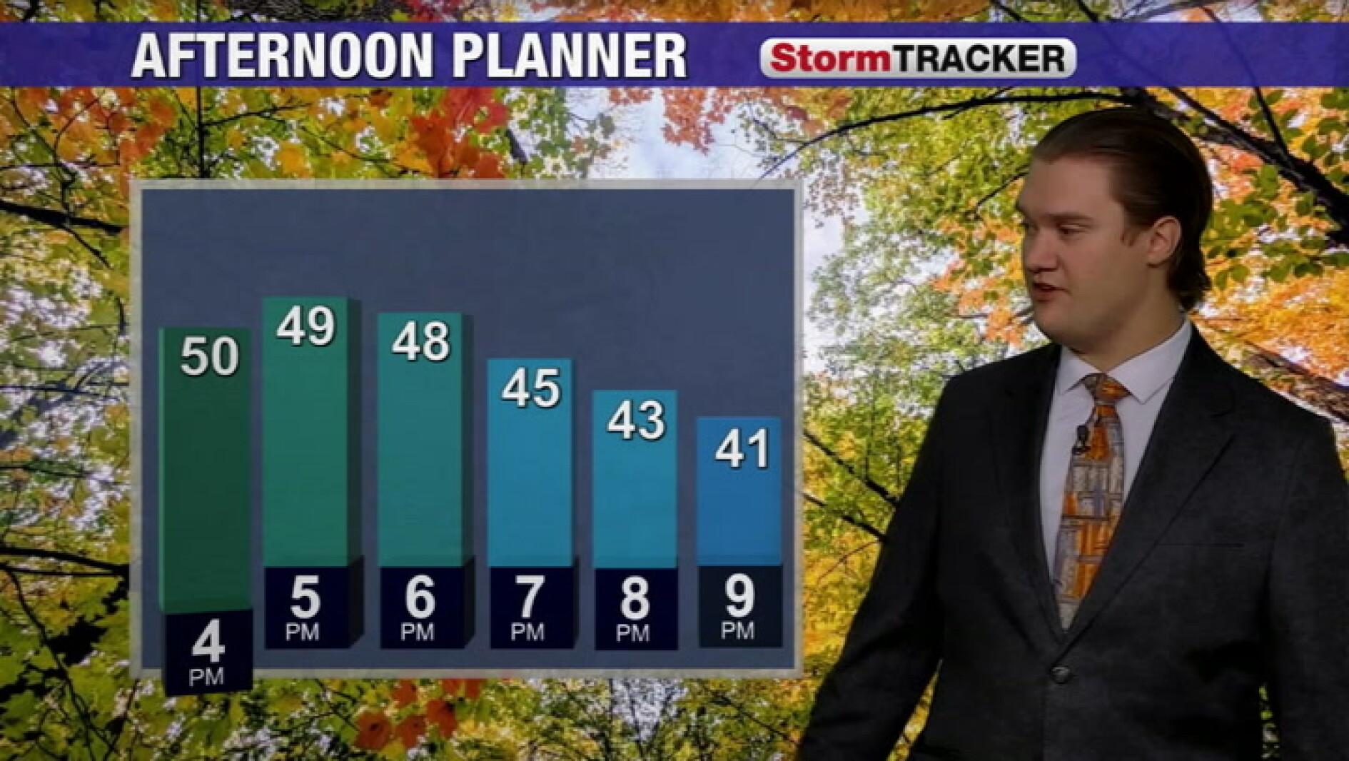 Cool fall weather continues into the evening across the valley
Jamestown Sun Cool fall weather continues into the evening across the valley
-
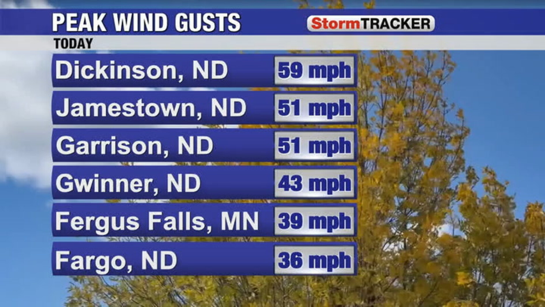 Wind, rain, and clouds all tapering off tomorrow
Jamestown Sun Wind, rain, and clouds all tapering off tomorrow
-
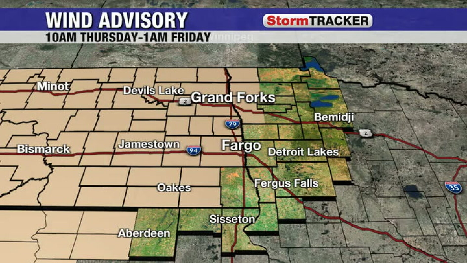 Tracking the wind ramping up for Thursday
Jamestown Sun Tracking the wind ramping up for Thursday
-
 Tracking a frost/freeze tonight and more sunshine tomorrow
Jamestown Sun Tracking a frost/freeze tonight and more sunshine tomorrow
-
 Freeze alerts stretch from Missouri to New York for Sunday
Temps drop for millions across the Central Plains, Midwest, Northeast The first real taste of fall is settling in for millions, including a few first frosts and freezes of the season for some in the Midwest and East…
-
 First Alert Weather: Bright sunshine, crisp air for Sunday in New York - 10/17/26
CBS News Detroit Weekend 11pm CBS News Los Angeles Weekend 8pm CBS News Philadelphia Weekend KDKA News Weekend 11pm CBS News Texas Weekend 10pm
-
 First Alert Weather: Clear skies with chilly temps Sunday in New York - 10/17/26
CBS News Bay Area Evening Edition Weekend 6pm CBS News Detroit Weekend 6pm CBS News Los Angeles Weekend 6pm CBS News Philadelphia 7:30pm Health Watch on CBS News Sacramento CBS News Texas Saturday 5pm
-
 Dangerous Freeze Warnings for 7 Counties in New York as Temperatures Plummet
Freeze Warnings take effect tonight across parts of New York, with lows in the upper 20s to around 30 expected from the Hudson Valley to Buffalo. The warnings run into 9 a.m. EDT Sunday. Frost and freeze conditions…
-
 First Alert Weather: Feels like November Saturday in New York - 10/17/26
CBS News Bay Area Morning Edition Weekend 6am WBZ This Morning 8am CBS News Chicago Saturday 8am CBS Colorado Mornings Weekend CBS News Los Angeles Weekend 6am CBS News Miami This Morning 9am WCCO News Saturday Morning…
Air quality
Air quality is satisfactory, and air pollution poses little or no risk.
Forecast
- TueGood (48)
Western New York Region, NY reporting area · 1 hr ago. Data from AirNow (EPA and its state, local and tribal partners); preliminary and subject to change.
Sun & moon
Almanac
MonthlyWarren, records since 1896. Normals 1991–2020. Data from NOAA's Regional Climate Centers (ACIS).
Nearby
Forecasters' discussion
From the National Weather Service office in BUF, issued 7 hrs ago
What Has Changed
Minor changes with this forecast package update. Enjoy!
Key Messages
1) Extended period of fair weather.
Discussion
KEY MESSAGE 1...Extended period of fair weather.
Surface high pressure anchored over the eastern US this week will maintain fair weather with afternoon temperatures near or above normal.
Mid and high level clouds will increase this morning, as seen upstream over the central Great Lakes, but increasing sunshine will return this afternoon behind the upper level trough, with a clear sky and cool conditions tonight.
Aviation
For the 12Z TAFs, VFR flight conditions are found and these conditions will likely prevail through the TAF period with a light wind with surface high pressure nearby.
The one exception will be along the southern and eastern Lake America shoreline where northeast winds will bring winds to 10 to 15 knots, including for a period of time this afternoon across the KIAG/KROC and KART airfields.
Outlook...
Wednesday through Saturday...Dry weather and VFR likely.
Forecasts, observations and alerts in the United States come from the National Weather Service (NOAA); radar from NOAA's Multi-Radar Multi-Sensor system; satellite imagery from NASA's Global Imagery Browse Services (GIBS) and NOAA's GOES satellites; the map from the U.S. Geological Survey's National Map; air quality from AirNow (EPA and its partners); hurricane information from the National Hurricane Center; climate normals and records from NOAA's Regional Climate Centers (ACIS). Forecasts outside the United States and the UV index: MET Norway (CC BY 4.0); observations outside the U.S.: airport reports via NOAA's Aviation Weather Center. Place names: GeoNames (CC BY 4.0). Data are copied on a schedule and may lag the sources; for warnings that affect your safety, follow your local National Weather Service office and emergency officials. Weather news is drawn from the 4Search index and reflects what the press published. Terms of use.