Install
Torrington, CT 06792 Weather
Current conditions
Forecast for this hour (no station report in the last two hours)
Forecast
10-day-
This Afternoon
Sunny, with a high near 61. North wind around 9 mph, with gusts as high as 21 mph.
-
Tonight
Clear, with a low around 34. North wind 6 to 9 mph, with gusts as high as 21 mph.
-
Friday
Sunny, with a high near 55. North wind 2 to 7 mph.
National Weather Service forecast updated 6 hrs ago.
Hourly
Hourly forecast- Now61°
- 4 PM60°
- 5 PM59°
- 6 PM57°
- 7 PM53°
- 8 PM51°
- 9 PM48°
- 10 PM47°
- 11 PM45°
- Fri12 AM43°
- 1 AM42°
- 2 AM41°
- 3 AM39°
- 4 AM37°
- 5 AM36°
- 6 AM36°
- 7 AM34°
- 8 AM35°
- 9 AM39°
- 10 AM45°
- 11 AM49°
- 12 PM52°
- 1 PM53°
- 2 PM54°
10-day forecast
Details- TodayOct 22Sunny34°61°
- FriOct 23Sunny30°55°
- SatOct 24Sunny31°58°
- SunOct 25Sunny36°62°
- MonOct 26Sunny42°65°
- TueOct 27Sunny36°60°
- WedOct 28Partly Sunny37°54°
- ThuOct 29Partly cloudy40°60°
- FriOct 30Cloudy37°53°
- SatOct 31Sunny34°52°
Days after the National Weather Service's seven are MET Norway's outlook, a computer model with no forecaster's review.
Radar
Full mapWeather news near Torrington
More weather news-
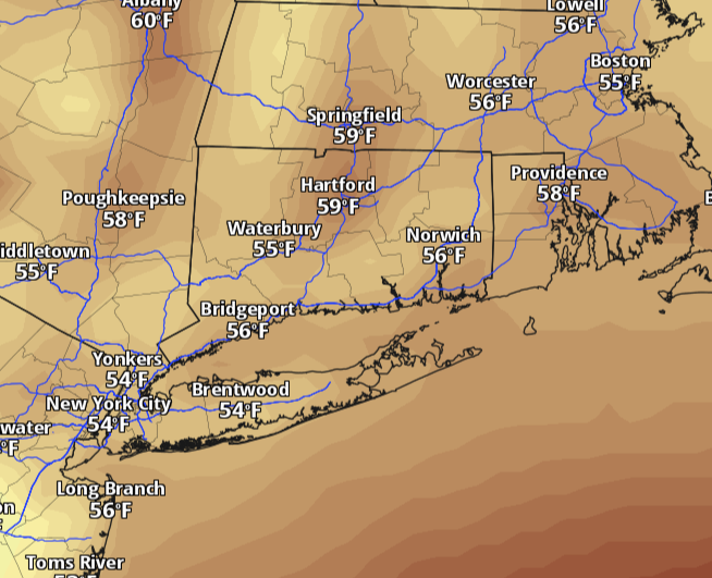 Connecticut warms back toward 60 Monday after weekend chill. Here's when rain returns.
Connecticut starts the week with a chilly morning and plenty of sunshine, but the weekend’s deep chill is easing. Temperatures will climb back toward 60 degrees Monday, with lighter winds and dry weather statewide. The…
-
 Don Day's Wyoming Weather Forecast: Tuesday, October 20, 2026
Mostly sunny to sunny in Wyoming on Tuesday. Partly cloudy to mostly clear overnight. Highs from the upper 50s to low 70s. Lows from the low 30s to mid-40s. Casper: Sunny and breezy today with a high near 69 and wind…
-
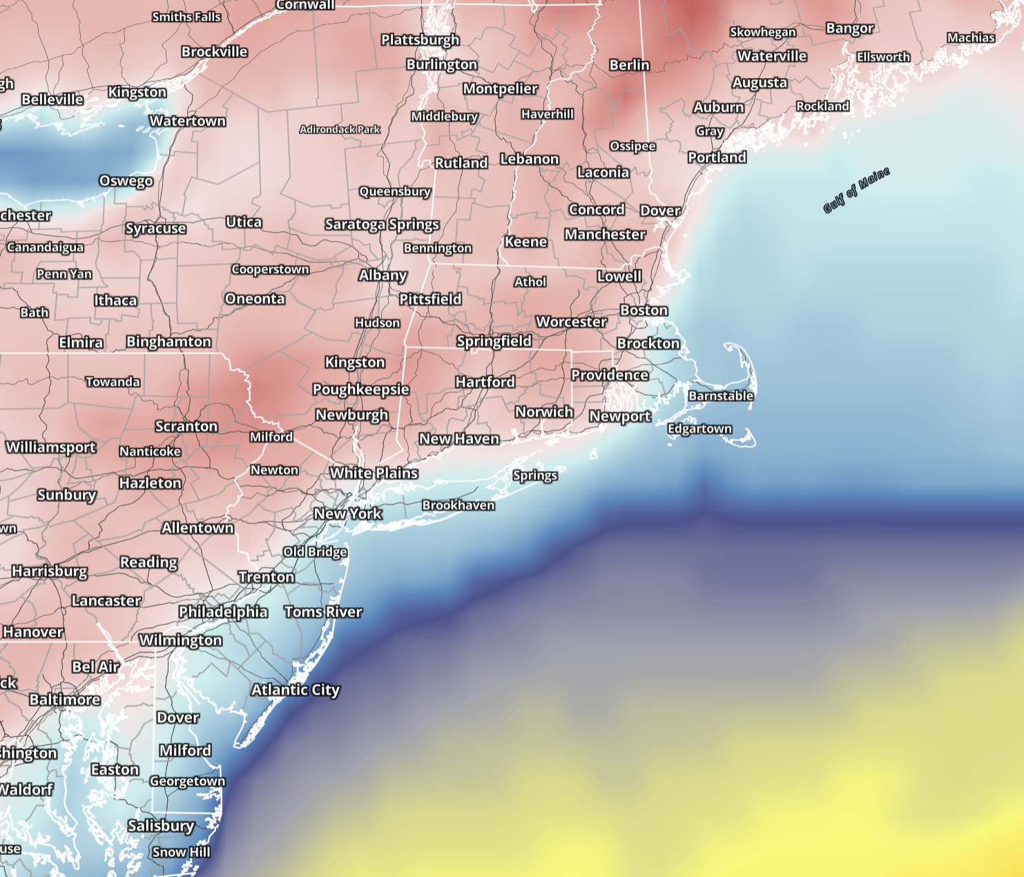 Connecticut wakes to 20s and 30s Sunday before sunshine pushes highs into 50s. Here's the forecast.
Saturday brought the coldest air of the season so far, and Sunday keeps the autumn chill in place across Connecticut. Sunshine returns statewide, winds ease considerably and temperatures make a modest recovery, although…
-
 Don Day's Wyoming Weather Forecast: Sunday, October 18, 2026
Sunny in Wyoming on Sunday and partly cloudy to mostly clear overnight. Highs from the upper 50s to low 70s. Lows from the mid 20s to low 40s. Riverton: Sunny today with a high near 61 and mostly clear overnight with a…
-
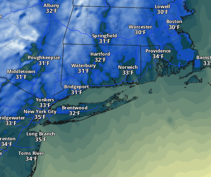 Saturday will feel more like November in Connecticut as temperatures dive. Here's how cold it'll be.
The change will be hard to miss Saturday morning. Temperatures will tumble behind Friday’s cold front, with readings starting in the 30s and 40s across much of Connecticut. A few lingering showers are possible early…
-
 Don Day's Wyoming Weather Forecast: Saturday, October 17, 2026
Sunny in Wyoming on Saturday and mostly clear overnight. Highs from near 60 to the upper 70s. Lows from the mid 20s to mid 40s. Jeffrey City: Sunny and windy today with a high near 65 and wind gusts as high as 40 mph…
-
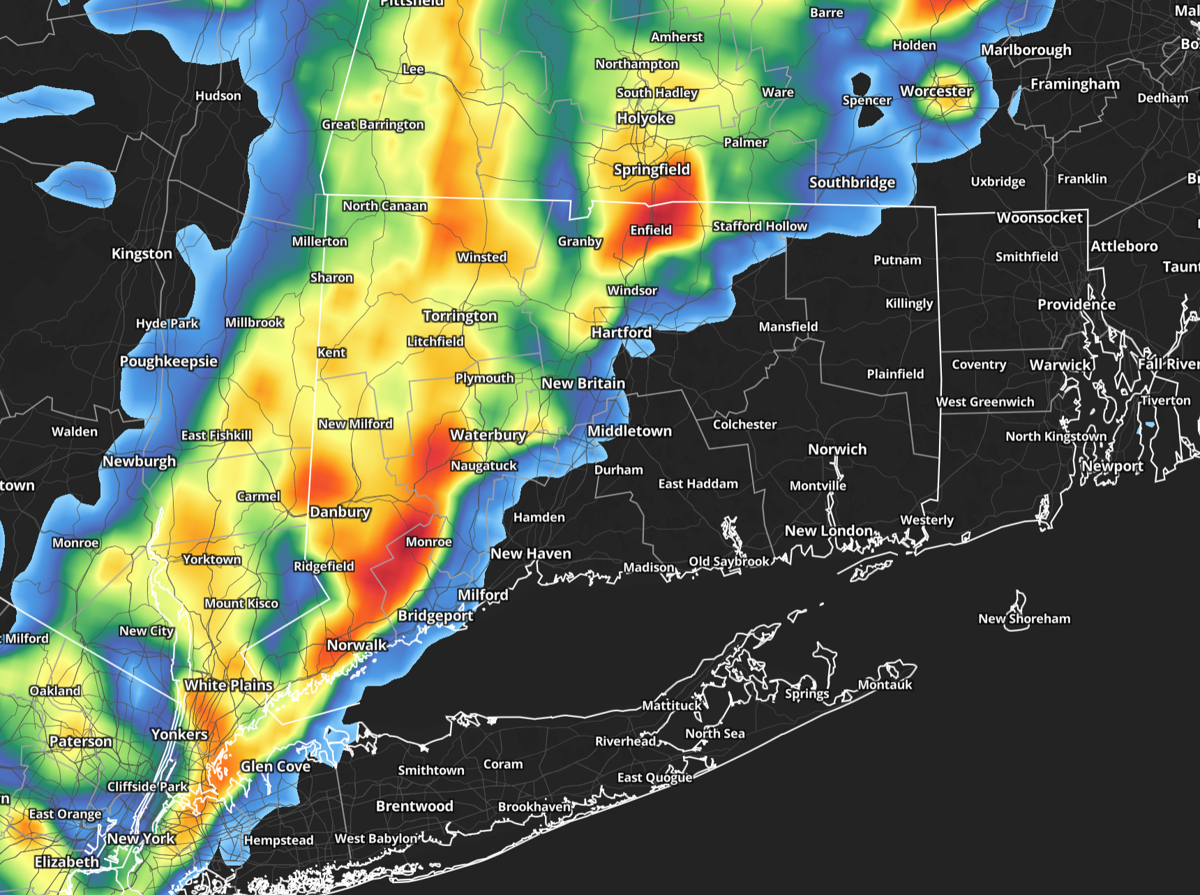 A warm, stormy Friday in Connecticut before big temperature drop arrives
Friday will start on a damp note across Connecticut, with showers likely during the morning and a few pockets of fog possible. The rain should be most widespread early, making for a wet morning commute, but there may be…
-
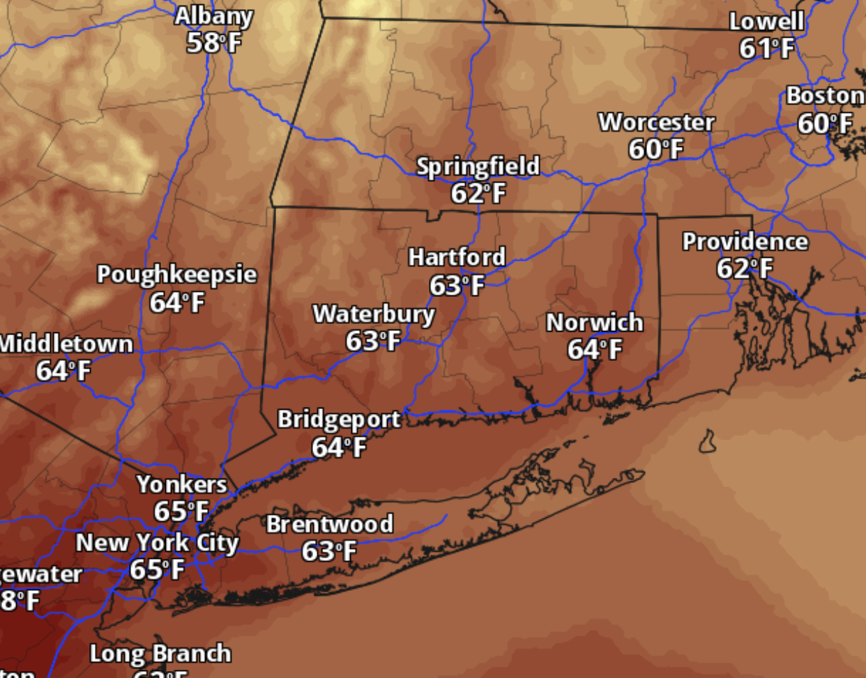 Enjoy Thursday’s 60s, Connecticut. The weekend brings a big chill with sub-freezing temps likely
Enjoy Thursday’s mild weather while it lasts. Connecticut gets sunshine and temperatures in the 60s before rain arrives Thursday night and a much colder blast sends temperatures tumbling by the weekend. The morning…
-
 Cold Halloween night expected in Connecticut. See full holiday forecast
AccuWeather just released its Halloween weekend forecast, predicting "a spooky mix of chilly temperatures, gusty winds, rain and even mountain snow" across the country. While the weather service predicts New England…
-
 A sunny, breezy Thursday in Connecticut before temps drop overnight. Here's the latest.
Autumn colors surround Bantam Lake in Morris Oct. 15, 2026. Thursday will bring another day of sunny, breezy weather to Connecticut before chilly temperatures arrive overnight, according to the National Weather Service…
Air quality
Air quality is satisfactory, and air pollution poses little or no risk.
Forecast
- ThuGood (39)
Torrington, CT reporting area · 2 hrs ago. Data from AirNow (EPA and its state, local and tribal partners); preliminary and subject to change.
Sun & moon
Almanac
MonthlyNorfolk 2 Sw, records since 1884. Normals 1991–2020. Data from NOAA's Regional Climate Centers (ACIS).
Nearby
- Springfield 55 km
- New Haven 51 km
- Hartford 31 km
- Waterbury 22 km
- Danbury 52 km
- New Britain 25 km
- West Hartford 26 km
- Bristol 13 km
- Meriden 32 km
- Hamden 42 km
- Chicopee 57 km
- West Haven 55 km
Forecasts, observations and alerts in the United States come from the National Weather Service (NOAA); radar from NOAA's Multi-Radar Multi-Sensor system; satellite imagery from NASA's Global Imagery Browse Services (GIBS) and NOAA's GOES satellites; the map from the U.S. Geological Survey's National Map; air quality from AirNow (EPA and its partners); hurricane information from the National Hurricane Center; climate normals and records from NOAA's Regional Climate Centers (ACIS). Forecasts outside the United States and the UV index: MET Norway (CC BY 4.0); observations outside the U.S.: airport reports via NOAA's Aviation Weather Center. Place names: GeoNames (CC BY 4.0). Data are copied on a schedule and may lag the sources; for warnings that affect your safety, follow your local National Weather Service office and emergency officials. Weather news is drawn from the 4Search index and reflects what the press published. Terms of use.