Install
New Haven, CT 06531 Weather
Current conditions
Forecast for this hour (no station report in the last two hours)
Forecast
10-day-
Today
Sunny. High near 64, with temperatures falling to around 62 in the afternoon. North wind 9 to 13 mph, with gusts as high as 23 mph.
-
Tonight
Clear. Low around 39, with temperatures rising to around 41 overnight. North wind around 10 mph.
-
Friday
Sunny, with a high near 56. North wind 5 to 9 mph.
National Weather Service forecast updated 1 hr ago.
Hourly
Hourly forecast- Now56°
- 12 PM59°
- 1 PM62°
- 2 PM63°
- 3 PM64°
- 4 PM64°
- 5 PM62°
- 6 PM60°
- 7 PM58°
- 8 PM54°
- 9 PM53°
- 10 PM51°
- 11 PM49°
- Fri12 AM47°
- 1 AM46°
- 2 AM44°
- 3 AM43°
- 4 AM42°
- 5 AM41°
- 6 AM40°
- 7 AM39°
- 8 AM39°
- 9 AM42°
- 10 AM49°
10-day forecast
Details- TodayOct 22Sunny39°64°
- FriOct 23Sunny35°56°
- SatOct 24Areas Of Frost then Sunny35°59°
- SunOct 25Patchy Frost then Sunny39°62°
- MonOct 26Sunny45°66°
- TueOct 27Sunny42°63°
- WedOct 28Partly Sunny43°59°
- ThuOct 29Partly cloudy47°63°
- FriOct 30Cloudy42°60°
- SatOct 31Sunny37°55°
Days after the National Weather Service's seven are MET Norway's outlook, a computer model with no forecaster's review.
Radar
Full mapWeather news near New Haven
More weather news-
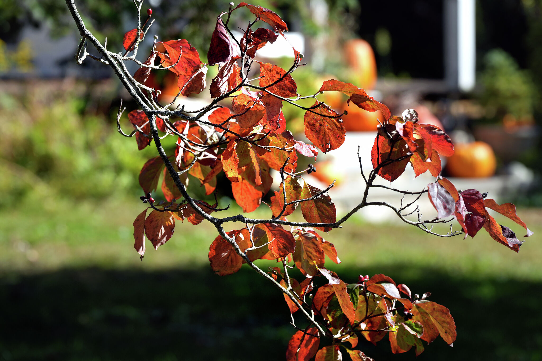 A warmer Tuesday in Connecticut with a mix of sun and clouds. Here's when the chill sets in again.
Leaves begin to change color at a home on Sport Hill Road in Easton on Oct. 7, 2026. Another day of seasonable fall weather is in store for Connecticut Tuesday — but expect it to be a little cloudier and breezier than…
- Brisk start, highs in 60s Tuesday
KBTX News 3 Brisk start, highs in 60s Tuesday Michigan to release thousands of pheasants for fall, winter hunting BREAKING: Police investigation under way on Canner Street in New Haven Fog Possible Tonight - Ross's…
-
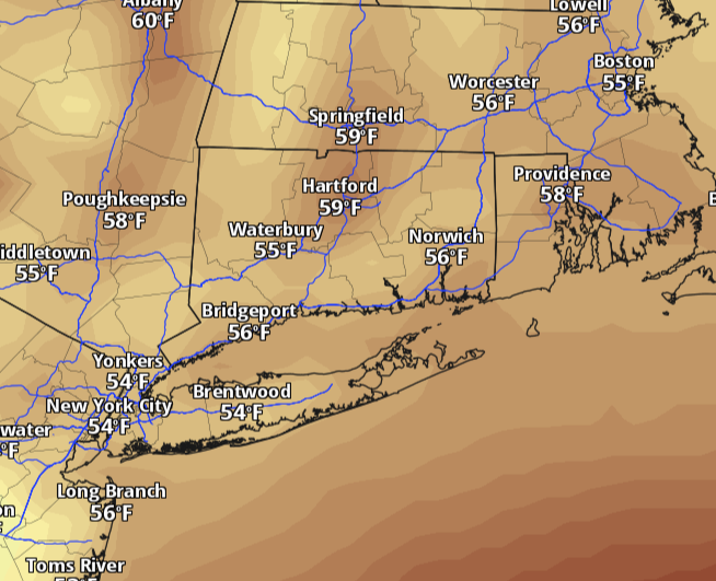 Connecticut warms back toward 60 Monday after weekend chill. Here's when rain returns.
Connecticut starts the week with a chilly morning and plenty of sunshine, but the weekend’s deep chill is easing. Temperatures will climb back toward 60 degrees Monday, with lighter winds and dry weather statewide. The…
-
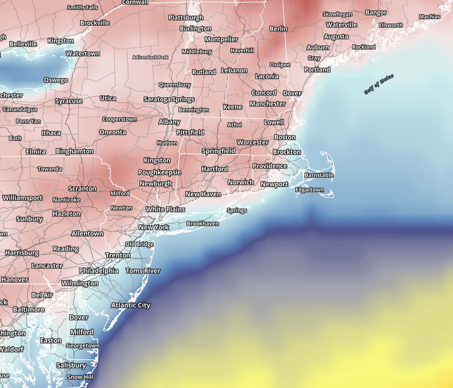 Connecticut wakes to 20s and 30s Sunday before sunshine pushes highs into 50s. Here's the forecast.
Saturday brought the coldest air of the season so far, and Sunday keeps the autumn chill in place across Connecticut. Sunshine returns statewide, winds ease considerably and temperatures make a modest recovery, although…
-
 Dangerous Freeze Warnings for 7 Counties in New York as Temperatures Plummet
Freeze Warnings take effect tonight across parts of New York, with lows in the upper 20s to around 30 expected from the Hudson Valley to Buffalo. The warnings run into 9 a.m. EDT Sunday. Frost and freeze conditions…
-
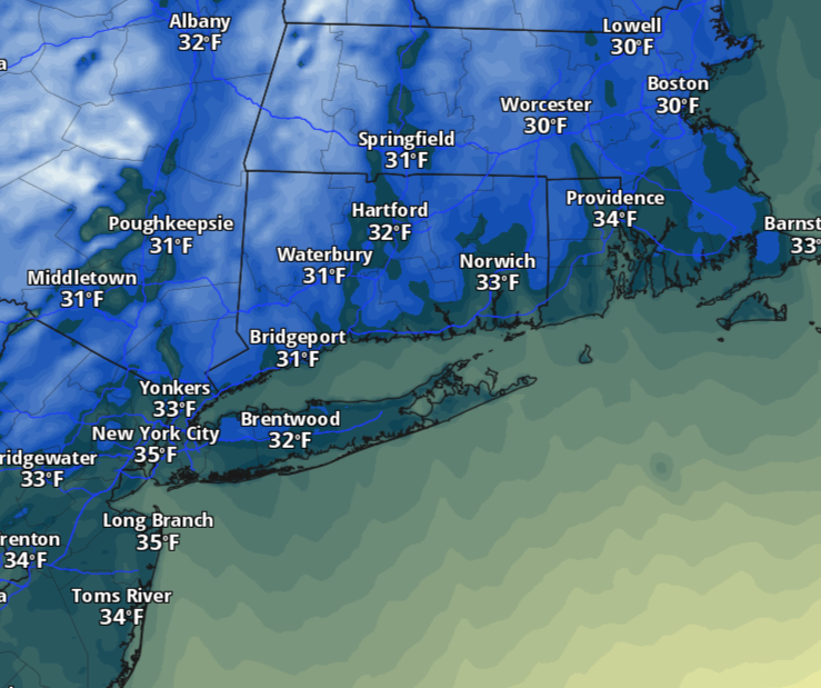 Saturday will feel more like November in Connecticut as temperatures dive. Here's how cold it'll be.
The change will be hard to miss Saturday morning. Temperatures will tumble behind Friday’s cold front, with readings starting in the 30s and 40s across much of Connecticut. A few lingering showers are possible early…
-
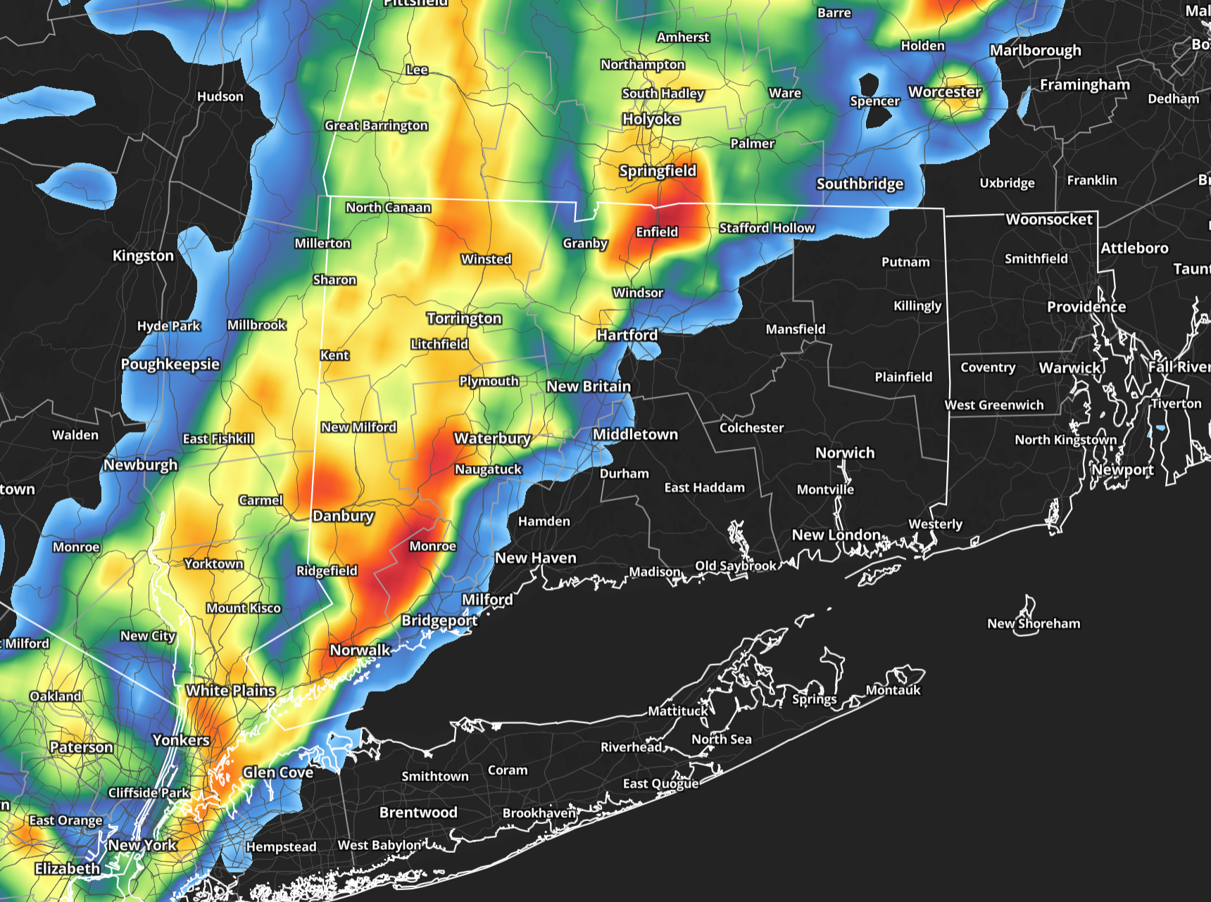 A warm, stormy Friday in Connecticut before big temperature drop arrives
Friday will start on a damp note across Connecticut, with showers likely during the morning and a few pockets of fog possible. The rain should be most widespread early, making for a wet morning commute, but there may be…
-
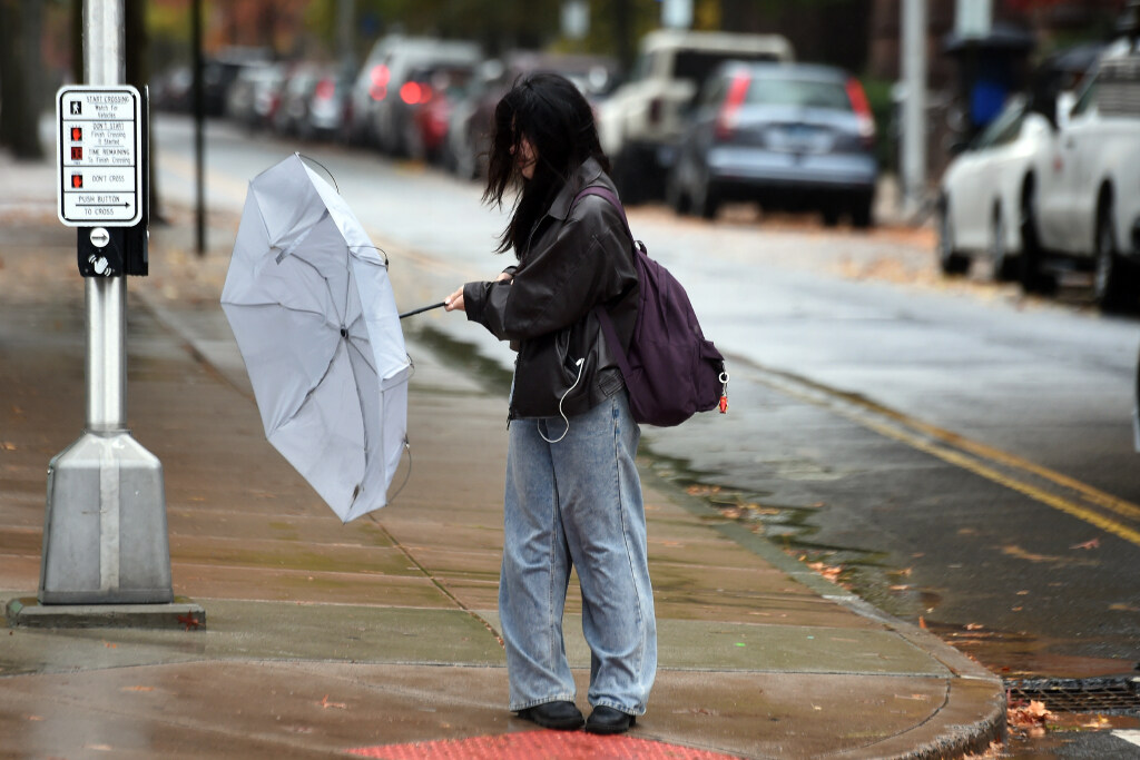 What should you wear when Connecticut mornings feel like winter and afternoons feel like fall?
A woman struggles with her umbrella in the wind and rain on Chapel Street in New Haven on October 30, 2025. I’m a meteorologist, so people often ask me what they should wear on a given day. I usually tell them I’m not a…
- The 10-degree outfit problem: What to wear when morning and night in CT feel like different seasons
A woman struggles with her umbrella in the wind and rain on Chapel Street in New Haven on October 30, 2025. I’m a meteorologist, so people often ask me what they should wear on a given day. I usually tell them I’m not a…
-
 First Alert Weather at 4:45 a.m. 10/15
WDBJ7 First Alert Weather at 4:45 a.m. 10/15 Shoplifting investigation leads to drug arrests in Jackson Traffic camera fines begin today near New Haven's Hillhouse High School Woman who caused deadly Farmington…
Air quality
Air quality is satisfactory, and air pollution poses little or no risk.
Forecast
- ThuGood (50)
New Haven, CT reporting area · 1 hr ago. Data from AirNow (EPA and its state, local and tribal partners); preliminary and subject to change.
Sun & moon
Almanac
MonthlyBridgeport Area, records since 1948. Normals 1991–2020. Data from NOAA's Regional Climate Centers (ACIS).
Nearby
- Bridgeport 26 km
- Stamford 58 km
- North Stamford 55 km
- Hartford 55 km
- Waterbury 30 km
- Norwalk 45 km
- Danbury 45 km
- East Norwalk 45 km
- New Britain 41 km
- West Hartford 53 km
- Bristol 40 km
- Meriden 27 km
Forecasters' discussion
From the National Weather Service office in OKX, issued 4 hrs ago
What Has Changed
Gale Warnings have been cancelled for the 2 western outer waters and Small Craft Advisories have been cancelled for the western and central sound, and the South Shore Bay.
Key Messages
1) Dry conditions expected through early next week with gradually decreasing N-NE winds through the end of this week.
2) Isolated minor flooding in some of the back bays this morning. Subsequent tide cycles look marginal at best to reach minor benchmarks.
Key Message 1
Deepening low pressure over the western Atlantic, along the 70th meridian and south of the 40th parallel, will track northeast today, away from the coast. High pressure will then slowly build in through the weekend.
Winds will begin to gradually diminish this afternoon into Friday as the pressure gradient relaxes due to the low pulling away and high pressure building in from the west.
With winds decreasing through the end of the week, frost will be possible Friday and Saturday nights (and less so Sunday night) with lows in the 30s away from the NYC metro. Frost Advisories may be needed for coastal SE CT tonight. All other areas where frost is expected, the growing season has ended.
.KEY MESSAGE 2... A Coastal Flood Statement has been issued for srn Nassau and swrn Suffolk for the morning high tide cycle. Guidance indicates some of these spots could just touch minor benchmarks.
Subsequent high tide cycles are marginal for tidal flooding thru the rest of today and Friday with winds becoming more northerly and decreasing easterly swells.
Outlook For 12z Friday Through Monday
Friday: VFR. NNE winds mainly 10-15kt.
Saturday - Monday: VFR with light winds.
Detailed information, including hourly TAF wind component forecasts, can be found at: https:/www.weather.gov/zny/n90
Forecasts, observations and alerts in the United States come from the National Weather Service (NOAA); radar from NOAA's Multi-Radar Multi-Sensor system; satellite imagery from NASA's Global Imagery Browse Services (GIBS) and NOAA's GOES satellites; the map from the U.S. Geological Survey's National Map; air quality from AirNow (EPA and its partners); hurricane information from the National Hurricane Center; climate normals and records from NOAA's Regional Climate Centers (ACIS). Forecasts outside the United States and the UV index: MET Norway (CC BY 4.0); observations outside the U.S.: airport reports via NOAA's Aviation Weather Center. Place names: GeoNames (CC BY 4.0). Data are copied on a schedule and may lag the sources; for warnings that affect your safety, follow your local National Weather Service office and emergency officials. Weather news is drawn from the 4Search index and reflects what the press published. Terms of use.