Install
Lypetske, Odesa, Ukraine Weather
Current conditions
Forecast for this hour (no station report in the last two hours)
Forecast
10-day-
Friday
Heavy rain. High 17°. Precipitation 15.6 mm for the day.
-
Friday Night
Rain. Low 13°. Precipitation 15.6 mm for the day.
-
Saturday
Light rain. High 18°.
MET Norway forecast updated 8 hrs ago.
Hourly
Hourly forecast- Now15°1.9
- 17:0015°3.0
- 18:0014°0.8
- 19:0014°0.2
- 20:0014°0.3
- 21:0014°0.3
- 22:0014°
- 23:0013°
- Sat00:0013°
- 01:0013°
- 02:0012°
- 03:0012°
- 04:0013°
- 05:0013°
- 06:0013°
- 07:0013°
- 08:0013°
- 09:0013°
- 10:0014°
- 11:0015°
- 12:0017°
- 13:0017°
- 14:0017°
- 15:0018°
Daily forecast
DetailsRadar
Full mapWeather news in Ukraine
More weather news-
 Ukraine to switch to winter time on October 25
Kyiv and the rest of Ukraine will switch to winter time at 0400 on Sunday, October 25, the Kyiv City State Administration said. The administration warned that the clock change can challenge the body's adjustment…
- Poland is switching to standard time: when should Ukrainians set their clocks back?
On the night of Saturday, October 24, through Sunday, October 25, Poland will switch to standard time. Clocks will need to be set back one hour—from 3:00 a.m. to 2:00 a.m. The time change is carried out in accordance…
-
 Pensacola's Halloween weather forecast calls for warm, dry night
Pensacola's weather forecast for Halloween night is expected to be fairly normal, if not slightly warmer than usual, according to the latest forecasts. Halloween temperatures in the Florida Panhandle usually jump…
-
 First Alert Weather: Mild afternoons before weekend local nor’easter
Here's what the First Alert Weather Team said you can expect in the forecast: This evening will be dry and clear. Tomorrow morning, temperatures will drop to the lower to mid-50s around Jacksonville and upper 60s along…
-
 Minnesota gets 3 more days in the 70s, then a cold front cuts the weekend in half | Oct. 22, 2026
Thursday and likely Friday and Saturday all reach the mid 70s, then a cold front moves through Saturday evening and night, dropping highs into the 50s Sunday and the lower 50s Monday through Wednesday, WCCO…
-
 Subtropical storm bringing rain and wind to parts of Atlantic Canada
Posted Oct 22, 2026 03:24:09 PM. Subtropical Storm Josephine is expected to bring heavy rain and wind to parts of Nova Scotia and Newfoundland Thursday and Friday. Environment Canada has issued yellow rainfall warnings…
- Weather in Ukraine on October 21: Rain and warmer temperatures up to +20 degrees
On Wednesday, October 21, warm fall weather will continue in Ukraine, with light rain and morning fog expected in some areas. In most regions, daytime temperatures will reach up to +17 degrees, while in the south and in…
-
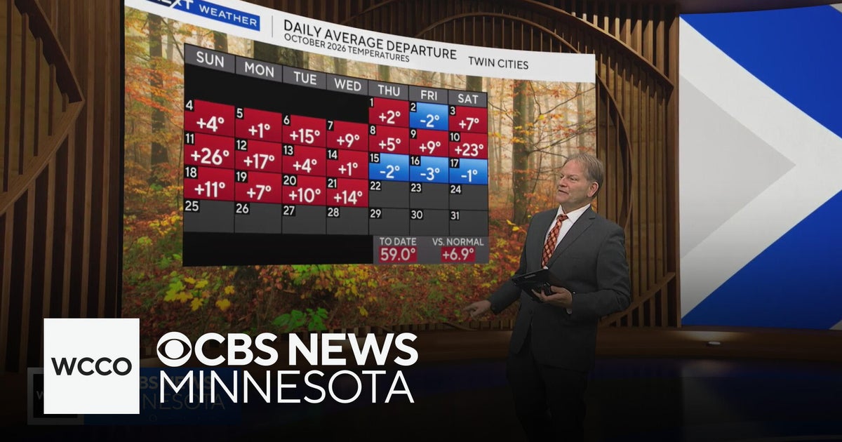 In the midst of a warm Minnesota fall, but cool-down is coming | Oct. 21, 2026
CBS News Minnesota is a local news organization that is part of CBS News and Stations. Also referred to as WCCO-TV and channel 4, CBS News Minnesota offers local breaking news, weather coverage and investigative…
-
 UK to be hit by two named storms in two days with yellow warnings issued
Multiple weather warnings are in place due to the arrival of Storms Austen and Boelo over the coming days The Met Office has issued multiple weather warning across the next few days as the first storms of the day…
- Meteorologists have issued a yellow code for heavy rains on Friday
Nigeria has confirmed its first case of Ebola in the last decade. The patient is the wife of a diplomat who returned from a vacation in Uganda, reports BBC, as quoted by IPN. According to Nigerian authorities, the woman…
Sun & moon
Nearby
- Rîbniţa 53 km
- Podilsk 14 km
- Balta 23 km
- Rezina 56 km
- Lyubashivka 42 km
- Kodyma 60 km
- Ananyiv 18 km
- Kryve Ozero 53 km
- Shyryayeve 53 km
- Savran 52 km
- Okny 29 km
- Zakharivka 45 km
Forecasts, observations and alerts in the United States come from the National Weather Service (NOAA); radar from NOAA's Multi-Radar Multi-Sensor system; satellite imagery from NASA's Global Imagery Browse Services (GIBS) and NOAA's GOES satellites; the map from the U.S. Geological Survey's National Map; air quality from AirNow (EPA and its partners); hurricane information from the National Hurricane Center; climate normals and records from NOAA's Regional Climate Centers (ACIS). Forecasts outside the United States and the UV index: MET Norway (CC BY 4.0); observations outside the U.S.: airport reports via NOAA's Aviation Weather Center. Place names: GeoNames (CC BY 4.0). Data are copied on a schedule and may lag the sources; for warnings that affect your safety, follow your local National Weather Service office and emergency officials. Weather news is drawn from the 4Search index and reflects what the press published. Terms of use.