Install
Dar es Salaam, Dar es Salaam Region, Tanzania Weather
Current conditions
Forecast for this hour (no station report in the last two hours)
Forecast
10-day-
Sunday
Light showers. High 33°. Precipitation 0.9 mm for the day.
-
Sunday Night
Partly cloudy. Low 24°. Precipitation 0.9 mm for the day.
-
Monday
Cloudy. High 32°.
MET Norway forecast updated 19 hrs ago.
Hourly
Hourly forecast- Now28°
- 19:0027°
- 20:0027°
- 21:0027°
- 22:0027°
- 23:0026°
- Mon00:0026°
- 01:0026°
- 02:0025°
- 03:0025°
- 04:0024°
- 05:0024°
- 06:0024°
- 07:0026°
- 08:0028°
- 09:0030°
- 10:0031°
- 11:0032°
- 12:0032°
- 13:0032°
- 14:0032°
- 15:0031°
- 16:0030°
- 17:0029°
Daily forecast
DetailsRadar
Full mapWeather news near Dar es Salaam
More weather news-
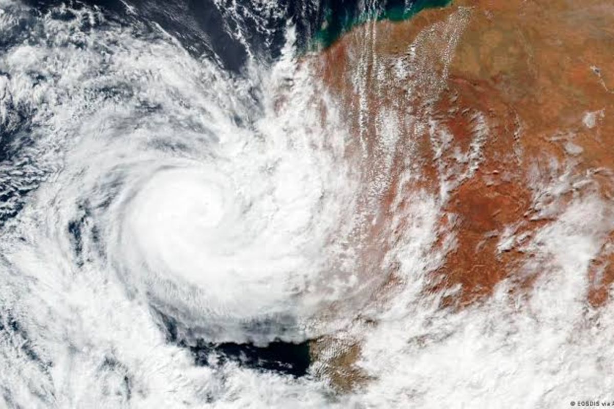 Tanzania on alert as Indian Ocean system threatens cyclone formation
Dar es Salaam. Tanzania’s weather authority has warned that a low-pressure system in the Indian Ocean, near the Seychelles Islands, is expected to intensify into a cyclone within the next four days, potentially…
-
 As El Niño Returns, East Africa’s Urban Poor Brace for Heavy Rains
Tuesday, October 20, 2026 Tanzania’s vice-president inspects a drainage channel in Dar es Salaam as authorities step up preparations for heavy El Niño rains expected during the October–December rainy season. Credit…
-
 WEATHER TODAY: Hail and flooding risk for central and eastern KZN, Richards Bay 37°C
Home » News » Weather » WEATHER TODAY: Hail and flooding risk for central and eastern KZN, Richards Bay 37°C Weather for Sunday: Gauteng stays dry and partly cloudy, with Pretoria at 31°C and Johannesburg at 28°C, while…
- Tanzania warns of possible tropical cyclone approaching coast
Tanzania’s weather agency warned on Tuesday that a low-pressure system in the Indian Ocean could develop into a tropical cyclone within four days as it moves towards the country’s coast, potentially bringing increased…
Forecasts, observations and alerts in the United States come from the National Weather Service (NOAA); radar from NOAA's Multi-Radar Multi-Sensor system; satellite imagery from NASA's Global Imagery Browse Services (GIBS) and NOAA's GOES satellites; the map from the U.S. Geological Survey's National Map; air quality from AirNow (EPA and its partners); hurricane information from the National Hurricane Center; climate normals and records from NOAA's Regional Climate Centers (ACIS). Forecasts outside the United States and the UV index: MET Norway (CC BY 4.0); observations outside the U.S.: airport reports via NOAA's Aviation Weather Center. Place names: GeoNames (CC BY 4.0). Data are copied on a schedule and may lag the sources; for warnings that affect your safety, follow your local National Weather Service office and emergency officials. Weather news is drawn from the 4Search index and reflects what the press published. Terms of use. How to use Weather