Install
Xindian, Taipei, Taiwan Weather
Current conditions
Observed at Taipei/Songshan Arpt · 38 min ago
Forecast
10-day-
Thursday
Heavy rain. High 24°. Precipitation 17.5 mm for the day.
-
Thursday Night
Heavy rain. Low 22°. Precipitation 17.5 mm for the day.
-
Friday
Heavy rain. High 26°. Precipitation 180.9 mm for the day.
MET Norway forecast updated 2 hrs ago.
Hourly
Hourly forecast- Now23°0.2
- Thu00:0023°0.2
- 01:0023°0.2
- 02:0023°
- 03:0023°
- 04:0023°0.2
- 05:0023°0.3
- 06:0022°0.4
- 07:0023°0.3
- 08:0023°0.2
- 09:0024°0.2
- 10:0024°0.3
- 11:0024°0.3
- 12:0024°0.4
- 13:0024°0.7
- 14:0023°0.9
- 15:0023°1.2
- 16:0023°1.8
- 17:0022°1.3
- 18:0022°1.5
- 19:0022°1.1
- 20:0022°1.2
- 21:0022°1.9
- 22:0022°1.4
Daily forecast
DetailsRadar
Full mapWeather news near Xindian
More weather news-
 Sunny, dry fall weather sticks around as rain holds off
Our weather pattern looks pretty tranquil and pleasant for quite some time. High pressure will remain in control through the end of the week and into the weekend with plenty of sunshine, dry conditions and no major…
-
 Knoxville weather: Dry and pleasant stretch this week
Calm and seasonable weather will dominate the forecast this week Tomorrow: Just a few high clouds with near-average temperatures. High: 72°. Wednesday: Plenty of sunshine and staying calm. High: 73°. The fall weather is…
-
 Taiwan News Quick Take
Taipei Times - All Front Page Taiwan News Business Editorial & Opinion Sports World News Features Bilingual Pages Taiwan News Quick Take Champi closes to east Typhoon Champi could continue to strengthen and approach…
-
 Forecasters raise possibility of Typhoon Champi hitting Taiwan
Expected to turn into severe typhoon Oct. 17, 2026 15:13 Typhoon Champi is more than 3,000 km from Taiwan. (CWA image) TAIPEI (Taiwan News) – Typhoon Champi is expected to strengthen into a severe storm and the…
-
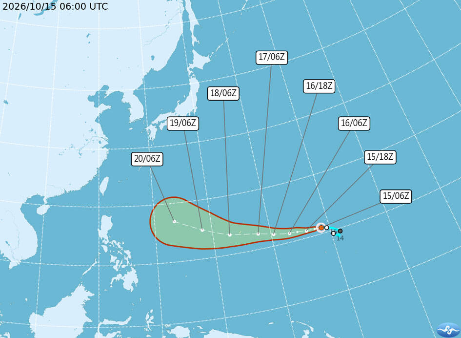 Forecasters watch progress of Pacific storm
Tropical Storm Champi formed yesterday and has the potential to increase in strength, the Central Weather Administration (CWA) said yesterday. Forecasters are closely monitoring a Pacific high-pressure system that would…
-
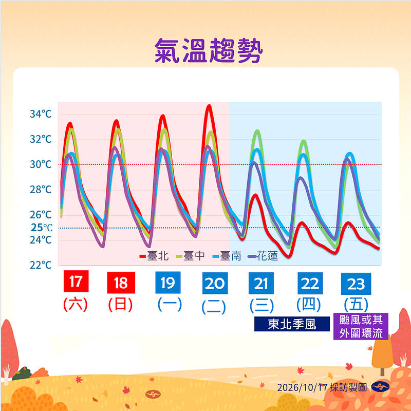
 Showers likely in the north as day-night temperature gap widens
Showers are forecast in northern Taiwan today, with weather conditions over the following days expected to stabilize, the Central Weather Administration (CWA) said. However, a wider day-night temperature gap is expected…
-
 Hsinchu town hits 14.9°C due to morning radiation cooling
Guansi Township (關西) in Hsinchu County recorded a low of 14.9°C early this morning, the lowest temperature in any low-lying area of Taiwan, as a result of radiation cooling, the Central Weather Administration (CWA)…
-
 Super Typhoon Champi spares Taiwan direct hit, brings heavy rain to Japan and Philippines
Wed, Oct 21, 2026 | Jumada al-Awwal 9, 1448 | Fajr 05:02|DXB 31.8°C Super Typhoon Champi, the most powerful storm so far this year, with peak winds of 296 kph (the equivalent of a Category 5 storm) on Wednesday morning…
-
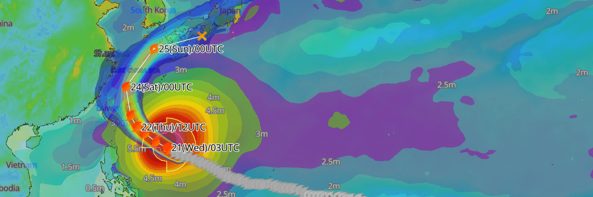 Update: Typhoon No. 30 (Champi) Reaches Peak Intensity, Tracking Toward Waters East of Taiwan and the Sakishima Islands
The one-stop platform to enhance your offshore wind operations The all-in-one platform solution to optimize your maritime operations The one-stop platform to enhance youroffshore wind operations Weathernews API &…
-
 Typhoon Champi Path: Category 5 Monster With 180 MPH Winds Targets Taiwan And Eastern China As Satellite Imagery Captures Colossal Structure
Zaini is Editor at The Sunday Guardian. She focuses on geopolitics, defence, international affairs, and breaking news coverage. She has worked in fast-paced newsrooms, including WION, Republic Media Network, India Today…
Sun & moon
Nearby
Forecasts, observations and alerts in the United States come from the National Weather Service (NOAA); radar from NOAA's Multi-Radar Multi-Sensor system; satellite imagery from NASA's Global Imagery Browse Services (GIBS) and NOAA's GOES satellites; the map from the U.S. Geological Survey's National Map; air quality from AirNow (EPA and its partners); hurricane information from the National Hurricane Center; climate normals and records from NOAA's Regional Climate Centers (ACIS). Forecasts outside the United States and the UV index: MET Norway (CC BY 4.0); observations outside the U.S.: airport reports via NOAA's Aviation Weather Center. Place names: GeoNames (CC BY 4.0). Data are copied on a schedule and may lag the sources; for warnings that affect your safety, follow your local National Weather Service office and emergency officials. Weather news is drawn from the 4Search index and reflects what the press published. Terms of use.