Install
Sawang Wirawong, Ubon Ratchathani, Thailand Weather
Current conditions
Forecast for this hour (no station report in the last two hours)
Forecast
10-day-
Monday
Light showers. High 31°. Precipitation 1.9 mm for the day.
-
Monday Night
Rain. Low 23°. Precipitation 1.9 mm for the day.
-
Tuesday
Mostly sunny. High 32°.
MET Norway forecast updated 22 hrs ago.
Hourly
Hourly forecast- Now31°
- 15:0031°
- 16:0031°
- 17:0030°
- 18:0028°
- 19:0028°
- 20:0027°
- 21:0027°0.2
- 22:0025°0.4
- 23:0025°
- Tue00:0024°
- 01:0024°
- 02:0024°
- 03:0024°
- 04:0023°
- 05:0023°
- 06:0023°
- 07:0024°
- 08:0026°
- 09:0028°
- 10:0029°
- 11:0030°
- 12:0031°
- 13:0032°
Daily forecast
DetailsRadar
Full mapWeather news in Thailand
More weather news-
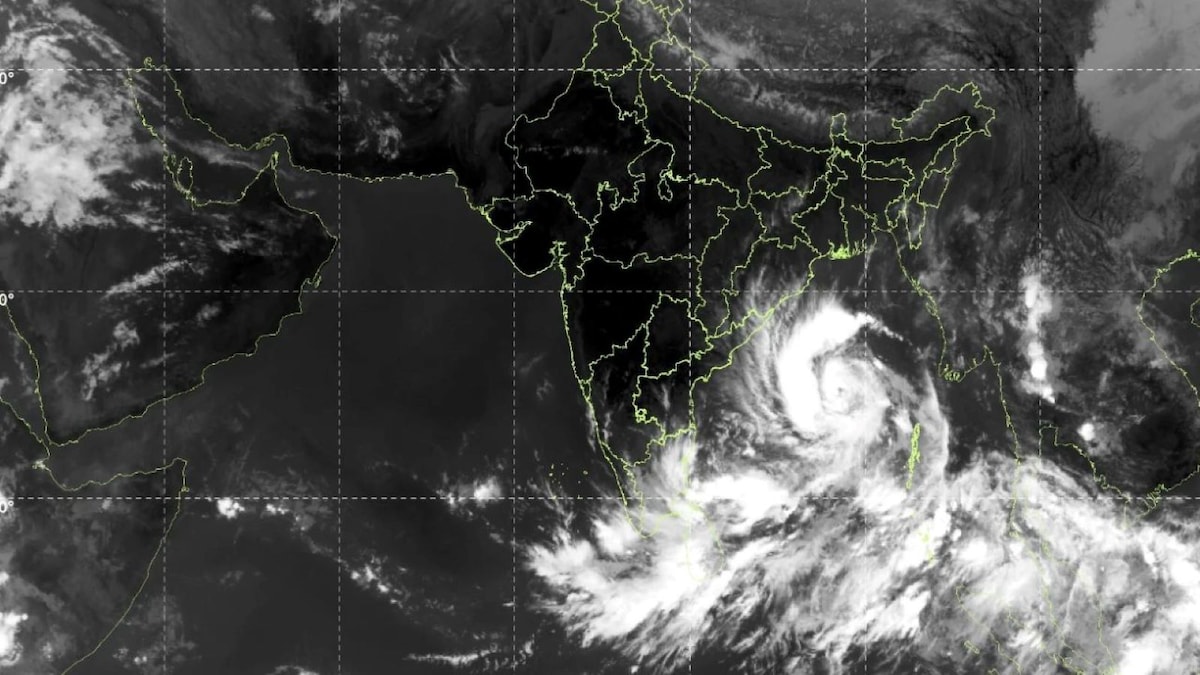
 Cyclone Arnab: Deep Depression Intensifies Into Cyclonic Storm; Check Origin Of Name And Meaning As Tamil Nadu Rains Continue
The state government of Odisha has become more prepared to handle the potential effects of the approaching Cyclone Arnab, which will have to be achieved by having zero casualty rate set as a goal by chief minister Mohan…
-
 Cyclone Arnab: Who gave the name and how Andhra, Odisha governments are preparing for it
Cyclone Arnab intensified over the Bay of Bengal on October 26, with the India Meteorological Department (IMD) forecasting that the storm will move towards the Andhra Pradesh coast and could make landfall on October 28…
-
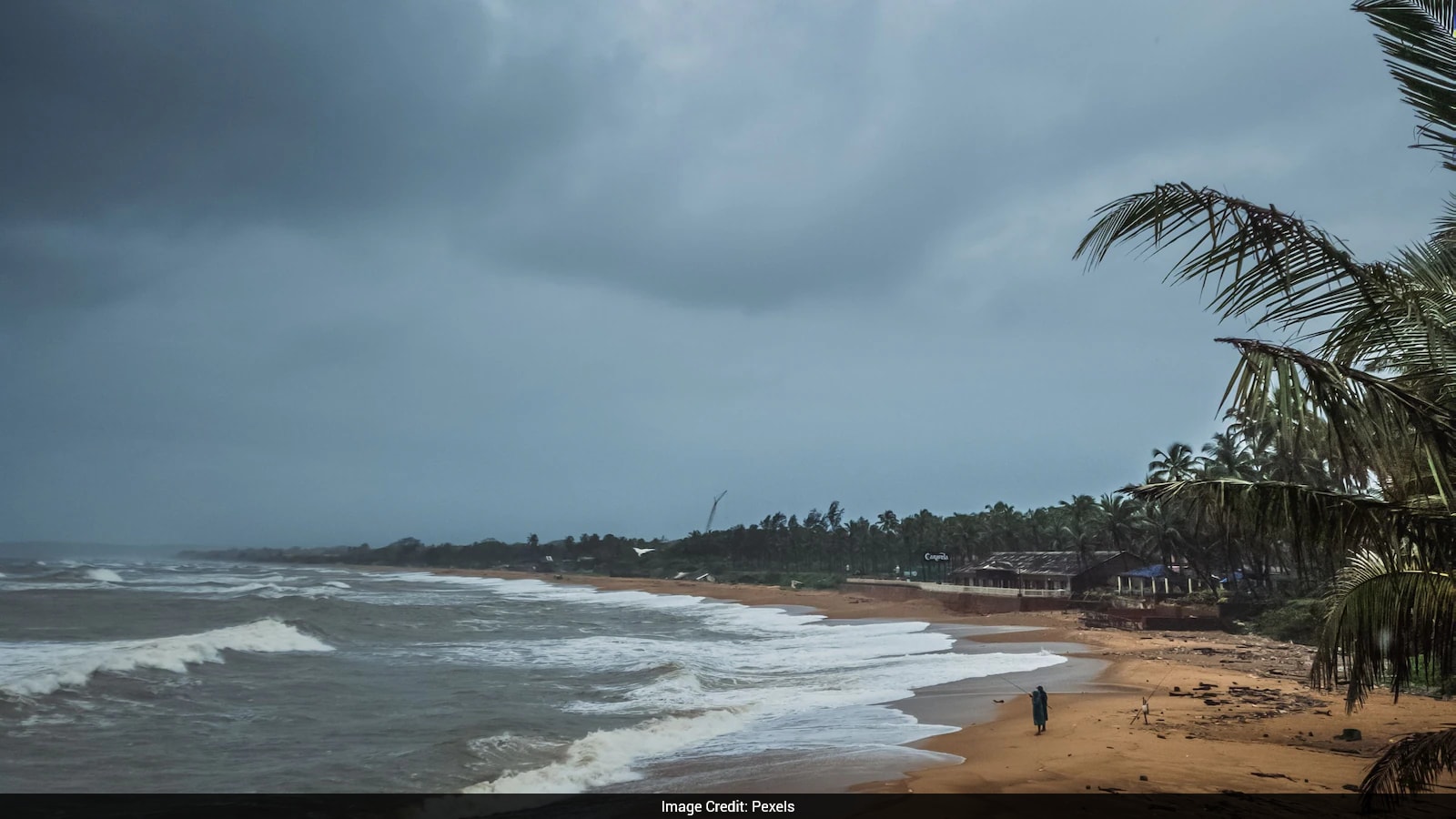 Cyclone Arnab: Origin Of The Name And What You Need To Know
Cyclones can bring strong winds, heavy rainfall and flooding, making it important for states in their expected path to prepare in advance. As Cyclone Arnab approaches the eastern coast of India, Odisha and Andhra…
- Typhoon Champi bears down on Taiwan and Japan after October 20 Category 5 peak
Typhoon Champi is forecast to bring very heavy rain to eastern Taiwan on October 23 before turning towards Japan, where heavy rain is expected on October 25–26, according to a weather outlook report. The storm is…
-
 4 Ways to Make the Most Out of a Vacation That’s Ruined by Rain
What’s the most important factor in surviving a vacation that’s ruined by rainstorms? Liking your travel companion or your group. When rainstorms, thunderstorms, and unexpected showers interrupt travel plans, it’s hard…
-
 Low Pressure To Likely Form In Bay Of Bengal, May Turn Into Cyclone After Oct 25; Rain For Andhra, Odisha
A developing weather system over the Bay of Bengal has drawn the attention of meteorologists, with the India Meteorological Department (IMD) forecasting the formation of a low-pressure area around October 23. While…
-
 Daily weather tracker: IMD warns of very heavy rain in Kerala, Tamil Nadu as new weather system develops weather alerts
A fresh low-pressure system could develop over the Bay of Bengal around 23 October, potentially intensifying rainfall across southern India. Thunderstorms, lightning and strong winds are forecast across several southern…
-
 Cyclonic Circulation Enters Andaman Sea, Low Pressure Likely On Oct 23
Bhubaneswar: A cyclonic circulation has entered the Andaman Sea, with chances of low pressure formation on October 23, weather scientist Umashankar Dash said. According to Dash, the active cyclonic circulation over the…
-
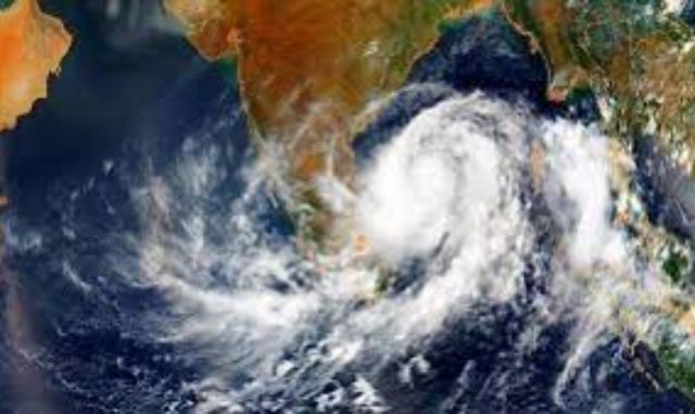 Fresh Low-Pressure System Brewing in Bay of Bengal: East Coast on Alert
Home » Fresh Low-Pressure System Brewing in Bay of Bengal: East Coast on Alert The Indian subcontinent is bracing for a complex weather pattern as twin meteorological systems dominate the Bay of Bengal. While a…
-
 IMD forecasts low-pressure area over Bay of Bengal by Oct 23; will Odisha be affected?
A fresh low-pressure area is likely to form over the Bay of Bengal by October 23, according to the India Meteorological Department (IMD). A cyclonic circulation is currently active over the Gulf of Thailand and…
Sun & moon
Nearby
- Ubon Ratchathani 26 km
- Warin Chamrap 25 km
- Det Udom 37 km
- Phibun Mangsahan 15 km
Forecasts, observations and alerts in the United States come from the National Weather Service (NOAA); radar from NOAA's Multi-Radar Multi-Sensor system; satellite imagery from NASA's Global Imagery Browse Services (GIBS) and NOAA's GOES satellites; the map from the U.S. Geological Survey's National Map; air quality from AirNow (EPA and its partners); hurricane information from the National Hurricane Center; climate normals and records from NOAA's Regional Climate Centers (ACIS). Forecasts outside the United States and the UV index: MET Norway (CC BY 4.0); observations outside the U.S.: airport reports via NOAA's Aviation Weather Center. Place names: GeoNames (CC BY 4.0). Data are copied on a schedule and may lag the sources; for warnings that affect your safety, follow your local National Weather Service office and emergency officials. Weather news is drawn from the 4Search index and reflects what the press published. Terms of use. How to use Weather