Install
Candelaria de La Frontera, Santa Ana Department, El Salvador Weather
Current conditions
Forecast for this hour (no station report in the last two hours)
Forecast
10-day-
Tuesday
Partly cloudy. High 30°.
-
Tuesday Night
Clear. Low 18°.
-
Wednesday
Cloudy. High 31°.
MET Norway forecast updated 7 hrs ago.
Hourly
Hourly forecast- Now28°
- 12:0029°
- 13:0030°
- 14:0030°
- 15:0030°
- 16:0029°
- 17:0027°
- 18:0024°
- 19:0022°
- 20:0021°
- 21:0021°
- 22:0021°
- 23:0020°
- Wed00:0020°
- 01:0020°
- 02:0020°
- 03:0019°
- 04:0019°
- 05:0019°
- 06:0019°
- 07:0021°
- 08:0023°
- 09:0025°
- 10:0027°
Daily forecast
DetailsRadar
Full mapWeather news in El Salvador
More weather news-
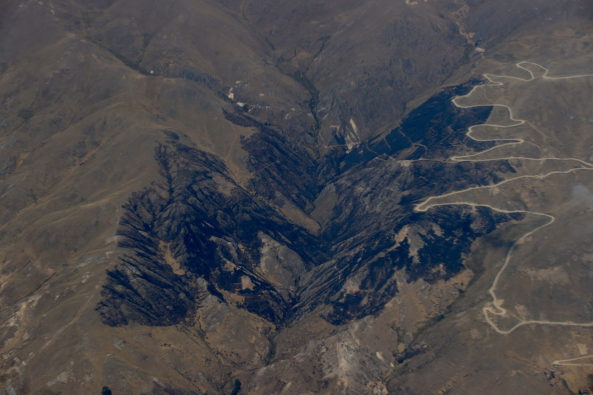 UN Warns El Niño May Be Off the Charts
—What. The UN weather agency says Pacific waters could reach 3.8°C above average from November 2026 to January 2027. —Why it matters. That would go beyond the scales the agency has used to track El Niño for four…
-
 UN: El Nino could be ‘literally off the monitoring charts’
GENEVA, Switzerland: The El Nino weather phenomenon gripping the planet could be off the charts, the United Nations warned Wednesday, saying countries should take urgent action to prepare for the worst. “The current El…
-
 What is black ice? How freezing rain, sleet and winter weather create dangerous road conditions
January 23, 2026 / 10:55 AM CST / CBS Texas A drop in temperatures can turn an ordinary commute into a dangerous one, as black ice, freezing rain and other winter weather hazards create slick, often invisible conditions…
-
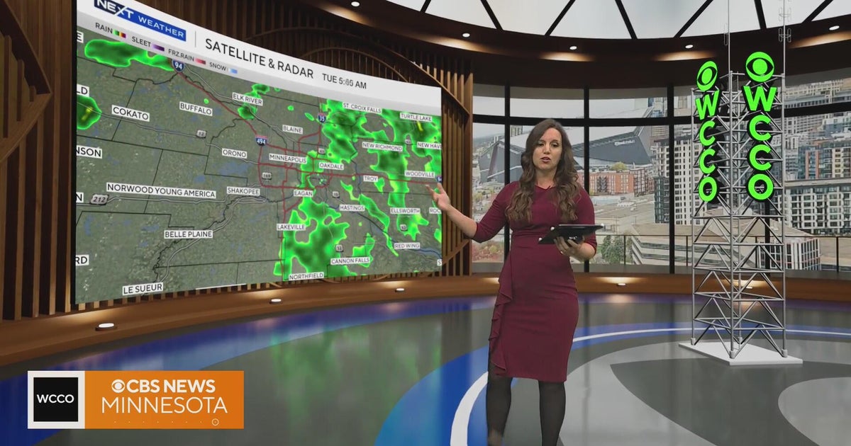 Minnesota weather warms to 67, then later rain and a chance of thunderstorms | Oct. 27, 2026
CBS News Minnesota is a local news organization that is part of CBS News and Stations. Also referred to as WCCO-TV and channel 4, CBS News Minnesota offers local breaking news, weather coverage and investigative…
-
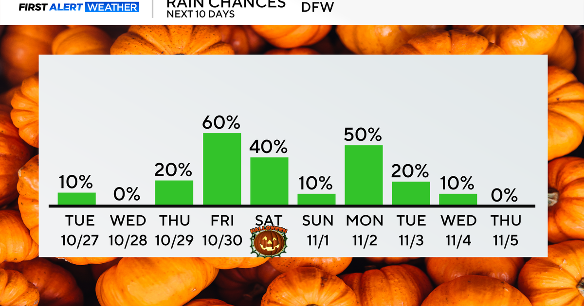 Rain chances return end of the week as temperatures remain in 70s, low 80s
Updated on: October 27, 2026 / 8:27 AM CDT / CBS Texas North Texans are waking up to mainly dry conditions Tuesday morning, with very isolated showers lingering across parts of the area. Expect a mix of clouds and sun…
-
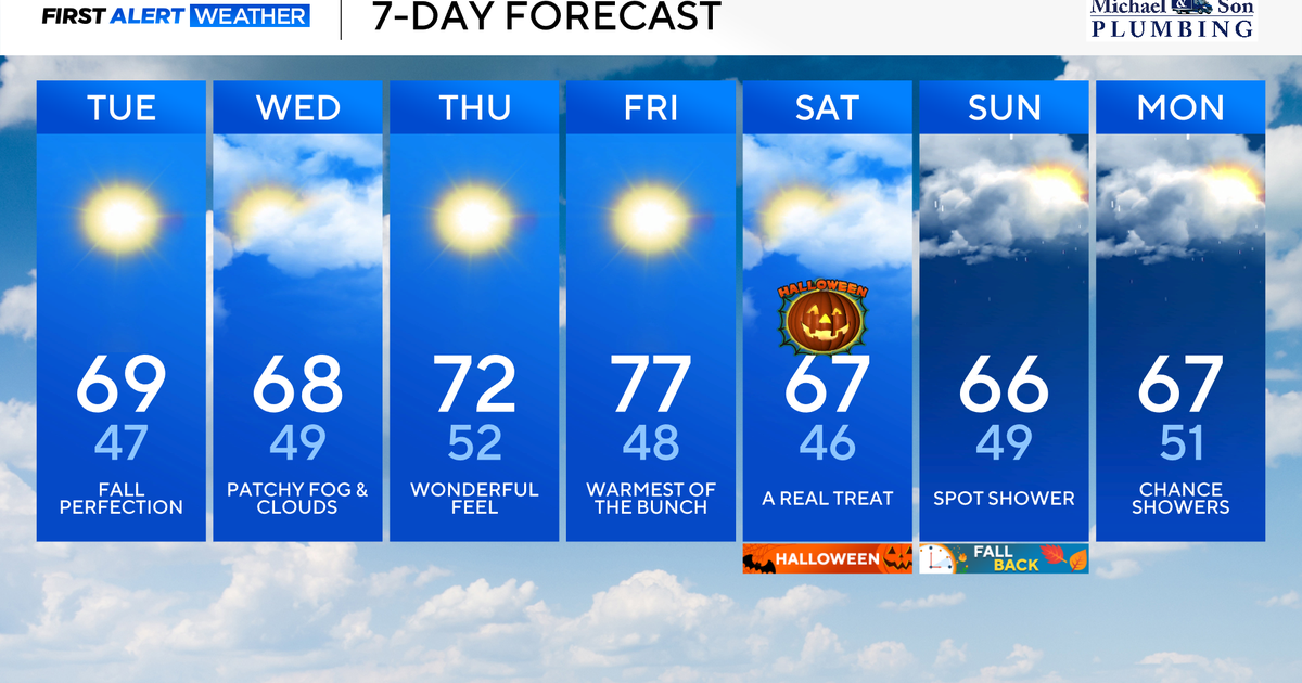 Beautiful weather continues right into Halloween for Maryland
Updated on: October 27, 2026 / 8:34 AM EDT / CBS Baltimore Several more days of sunshine, dry, and comfortable weather are in the forecast. Looking ahead, a pattern change brings our next chance of needed rain heading…
-
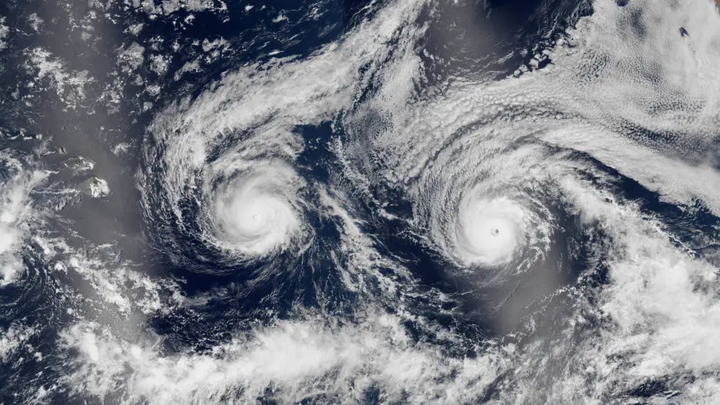 Twin hurricanes stare out to space as they barrel toward Hawaii — Earth from space
Not ready for Pro? Join live science pro Want more Life's Little Mysteries? Where is it? Pacific Ocean When was it taken? Aug. 29, 2016 This eye-catching satellite snap from a decade ago shows a pair of hurricanes…
-
 How much snow are you getting this weekend? See how many inches you're forecast to get in the winter storm.
Updated on: January 24, 2026 / 8:47 AM EST / CBS News As much of the United States prepares for a winter storm that is forecast to dump well above 12 inches of snow in some places this weekend, many are wondering: How…
-
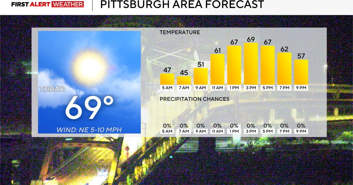 Rain chances could return to the Pittsburgh-area forecast early next week
October 27, 2026 / 7:54 AM EDT / CBS Pittsburgh Rain chances could return to the forecast for the Pittsburgh area next week. Any alert days ahead? Nope. Aware: Yesterday was the tenth day in a row with no measurable…
-
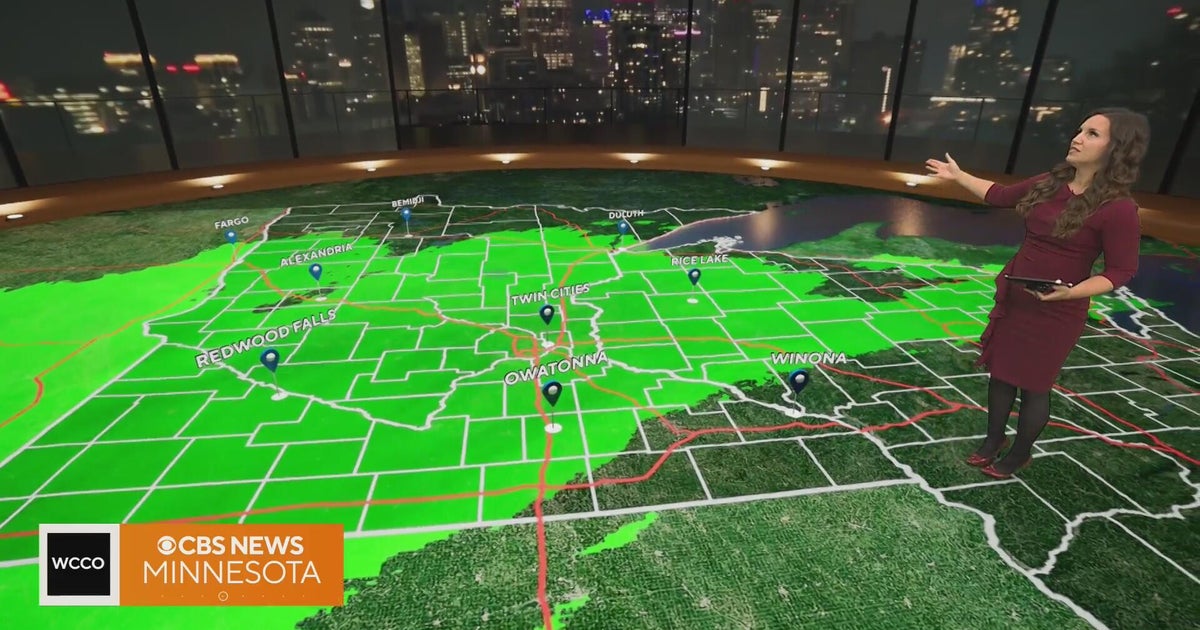 Rain to taper off after Minnesota's morning commute | Oct. 27, 2026
CBS News Minnesota is a local news organization that is part of CBS News and Stations. Also referred to as WCCO-TV and channel 4, CBS News Minnesota offers local breaking news, weather coverage and investigative…
Sun & moon
Nearby
- Santa Ana 17 km
- Jutiapa 32 km
- Sonsonate 45 km
- Asunción Mita 25 km
- Ahuachapán 30 km
- Chalchuapa 15 km
- Quezaltepeque 52 km
- Jalpatagua 39 km
- San Luis Jilotepeque 60 km
- Aguilares 53 km
- Esquipulas 59 km
- Izalco 41 km
Forecasts, observations and alerts in the United States come from the National Weather Service (NOAA); radar from NOAA's Multi-Radar Multi-Sensor system; satellite imagery from NASA's Global Imagery Browse Services (GIBS) and NOAA's GOES satellites; the map from the U.S. Geological Survey's National Map; air quality from AirNow (EPA and its partners); hurricane information from the National Hurricane Center; climate normals and records from NOAA's Regional Climate Centers (ACIS). Forecasts outside the United States and the UV index: MET Norway (CC BY 4.0); observations outside the U.S.: airport reports via NOAA's Aviation Weather Center. Place names: GeoNames (CC BY 4.0). Data are copied on a schedule and may lag the sources; for warnings that affect your safety, follow your local National Weather Service office and emergency officials. Weather news is drawn from the 4Search index and reflects what the press published. Terms of use. How to use Weather