Install
Albina, Marowijne District, Suriname Weather
Current conditions
Forecast for this hour (no station report in the last two hours)
Forecast
10-day-
Wednesday
Heavy rain. High 35°. Precipitation 2.0 mm for the day.
-
Wednesday Night
Partly cloudy. Low 23°. Precipitation 2.0 mm for the day.
-
Thursday
Heavy rain. High 33°. Precipitation 5.4 mm for the day.
MET Norway forecast updated 1 day ago.
Hourly
Hourly forecast- Now26°
- 23:0026°
- Thu00:0025°
- 01:0025°
- 02:0025°
- 03:0025°
- 04:0024°
- 05:0024°0.4
- 06:0024°0.2
- 07:0025°
- 08:0026°
- 09:0028°
- 10:0030°
- 11:0032°
- 12:0033°
- 13:0033°2.4
- 14:0027°1.4
- 15:0028°0.8
- 16:0028°
- 17:0029°
- 18:0027°
- 19:0027°
- 20:0026°0.2
- 21:0026°
Daily forecast
DetailsRadar
Full mapWeather news
More weather news-
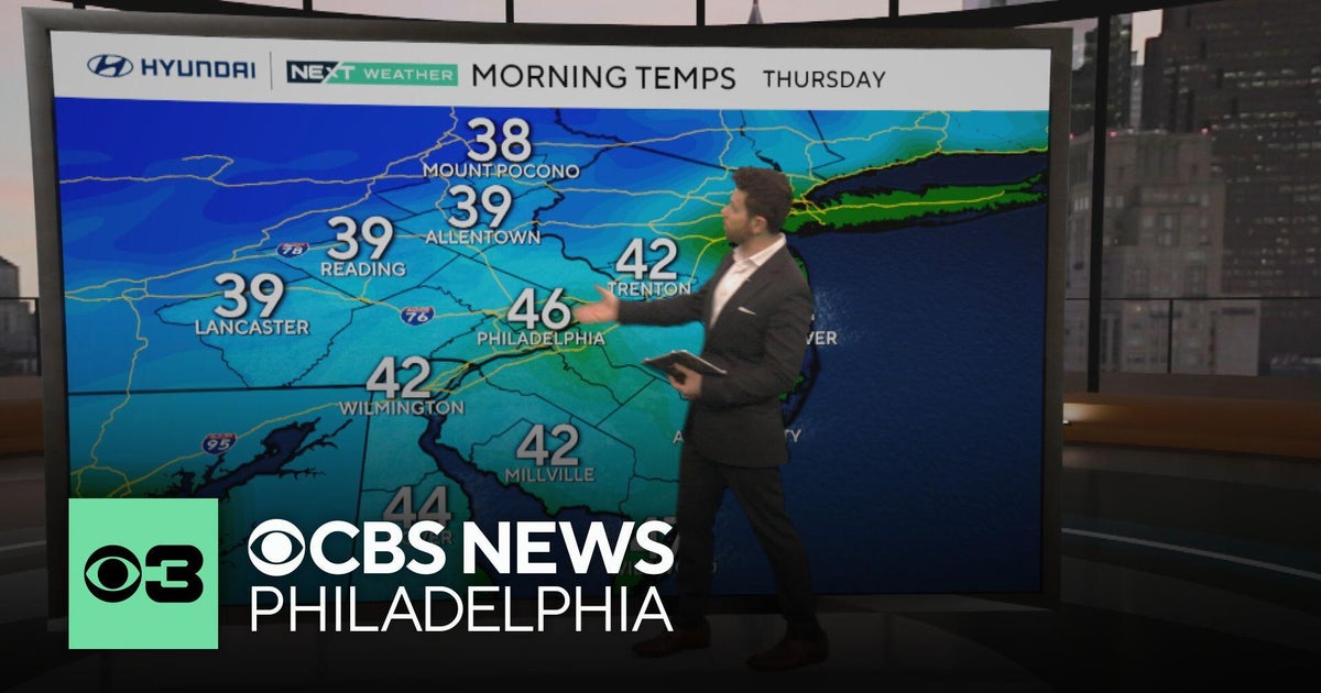 Nice fall weather continues in Philadelphia, tracking Subtropical Storm Josephine
CBS News Philadelphia is a local news organization that is part of CBS News and Stations. Also referred to as KYW-TV and channel 3, CBS News Philadelphia offers local breaking news, weather coverage and investigative…
-
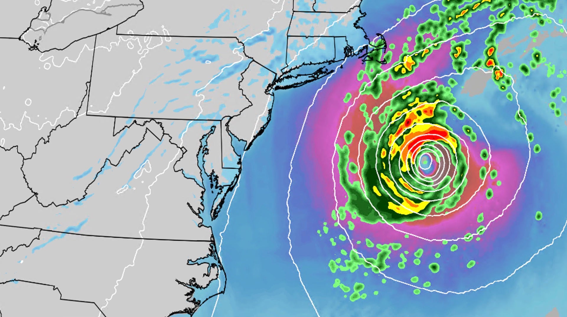 Nor'easter develops into Subtropical Storm Josephine
An October nor'easter is still hugging the Atlantic coast, and the National Hurricane Center just officially named the system Subtropical Storm Josephine. Even though the storm has been named Josephine, the impacts will…
-
 Subtropical Storm Josephine forms in Atlantic; 2 more areas showing potential tropical development
Offshore storms could prolong beach erosion, coastal flooding and dangerous rip currents into next week, with one storm becoming Subtropical Storm Josephine on Wednesday. Published Oct 21, 2026 2:08 PM EDT | Updated Oct…
-
 Bright sun glare prompts I-70 closures in Colorado's mountains, from sunrise to mid-morning
October 21, 2026 / 9:43 AM MDT / CBS Colorado As the days get shorter with winter approaching, drivers in Colorado traveling on I-70 will start running into a new issue: sun glare while they are driving. The Colorado…
-
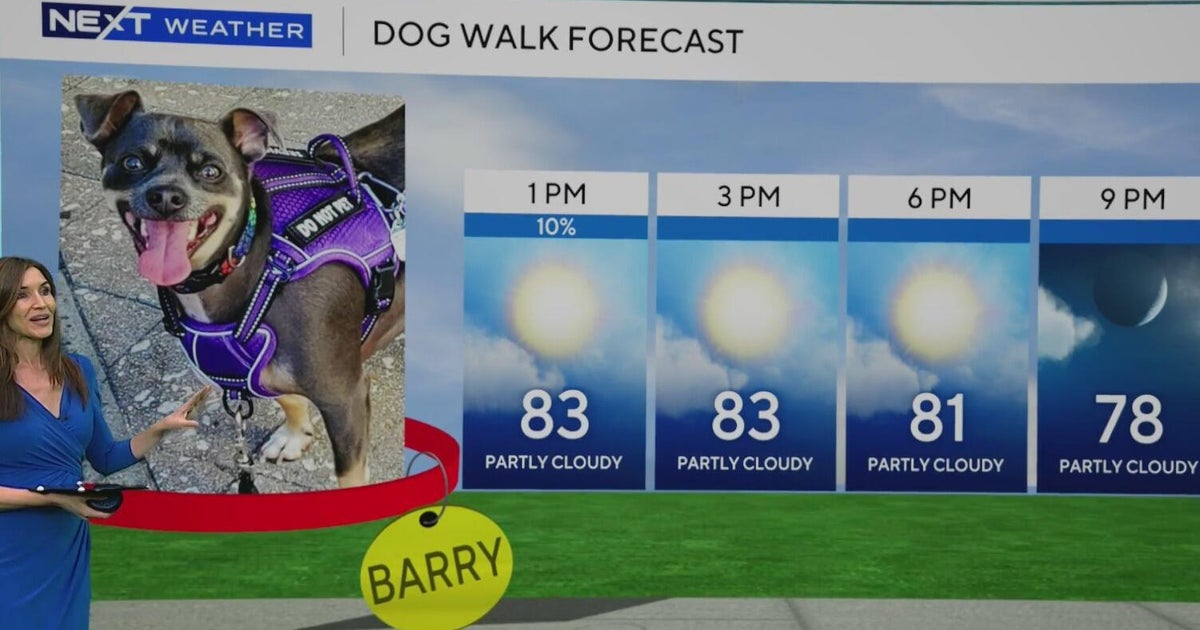 South Florida stays beautiful, breezy on Wednesday before heavy rain, king tides bring flood risk
The rest of Wednesday is expected to be beautiful, breezy and mainly dry. However, big changes are on the way that will be leading to a NEXT Weather Alert issues starting Sunday. CBS News Miami NEXT Weather…
-
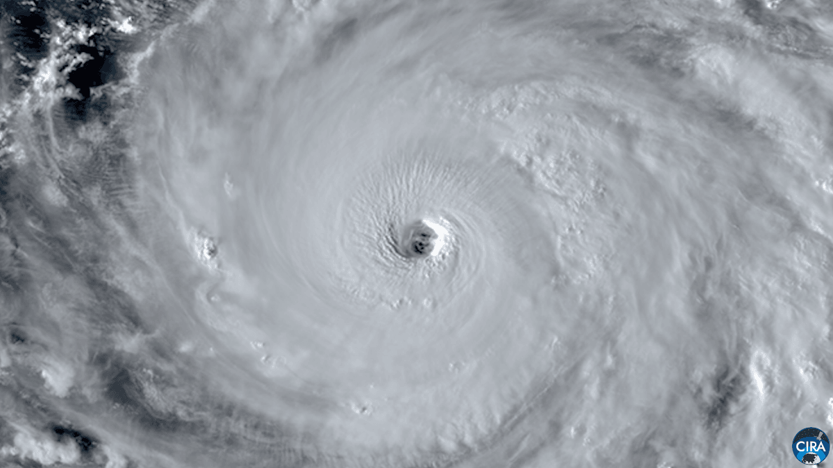 Super Typhoon Champi sets the record for strongest storm of 2026
The cyclone’s winds hit 185 miles per hour—the strongest windspeed of any storm this year A cyclone in the Philippine Sea reached wind speeds of about 185 miles per hour (around 290 kilometers per hour) on Tuesday…
-
 See Super Typhoon Champi’s giant eye as it swirls across the Pacific
The Washington Post At one point Wednesday, the eye was wider than the state of Rhode Island. Super Typhoon Champi is a pageant of power, a Category 5-equivalent beast that as of Wednesday morning Eastern was swirling…
-
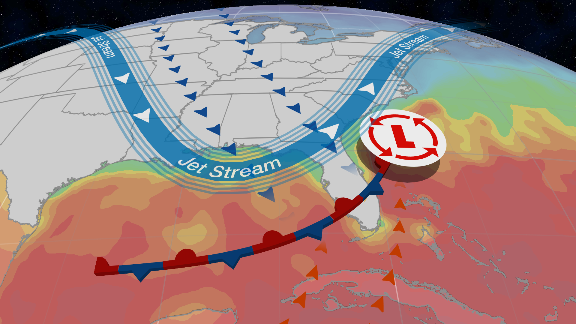 What is a subtropical storm, and why should you take them seriously?
Nicole as a subtropical storm. A subtropical storm is different from a tropical storm, hurricane and even a nor'easter - and it can mean a lot of rain, wind and rough sea conditions for those living along the coast…
-
 Severe storm takes aim at Arizona with rain, hail, possible tornado
A powerful storm system was expected to move through Arizona on Oct. 21 and through the overnight, bringing with it the potential for heavy rain, hail, high winds and even the chance of a tornado. Forecasters said the…
-
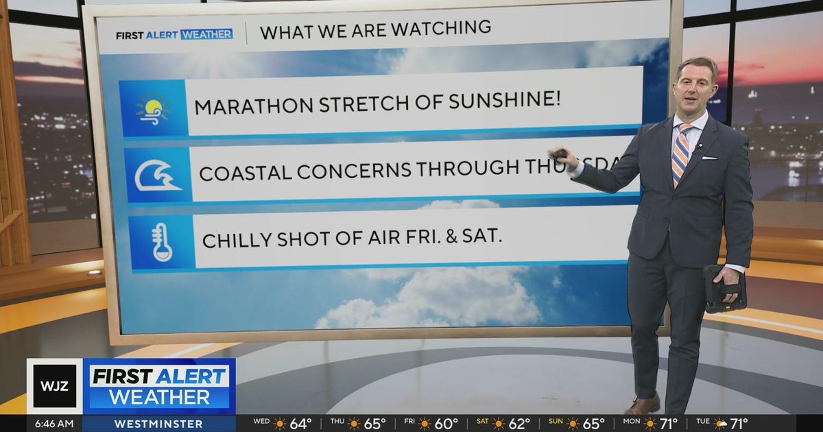 Sunshine continues for days across Maryland
CBS News Sunshine continues for days across Maryland Around Town: Flock to the Ivy Hotel to enjoy their purple pride packages Goetze Candy Company has a new beer collab with Monument City Brewing called "Bulls-eye" The…
Sun & moon
Nearby
- Saint-Laurent-du-Maroni 3 km
- Moengo 40 km
- Apatou 50 km
- Mana 36 km
Forecasts, observations and alerts in the United States come from the National Weather Service (NOAA); radar from NOAA's Multi-Radar Multi-Sensor system; satellite imagery from NASA's Global Imagery Browse Services (GIBS) and NOAA's GOES satellites; the map from the U.S. Geological Survey's National Map; air quality from AirNow (EPA and its partners); hurricane information from the National Hurricane Center; climate normals and records from NOAA's Regional Climate Centers (ACIS). Forecasts outside the United States and the UV index: MET Norway (CC BY 4.0); observations outside the U.S.: airport reports via NOAA's Aviation Weather Center. Place names: GeoNames (CC BY 4.0). Data are copied on a schedule and may lag the sources; for warnings that affect your safety, follow your local National Weather Service office and emergency officials. Weather news is drawn from the 4Search index and reflects what the press published. Terms of use.